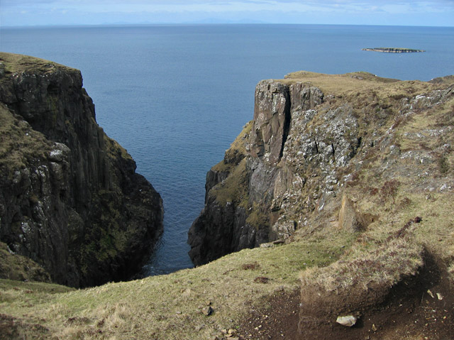
Camas nan Leac

Bay in Inverness-shire

Scotland

Camas nan Leac

Nature's Resilience — An Ancient Dyke Reclaimed by Greenery
Nature's Resilience — An Ancient Dyke Reclaimed by Greenery Credit: Mick Garratt

The requested URL returned error: 429 Too Many Requests

If you have any feedback on the listing, please let us know in the comments section below.

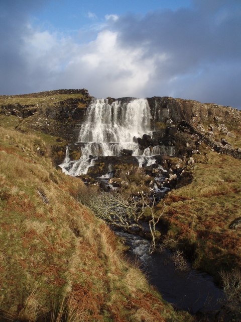
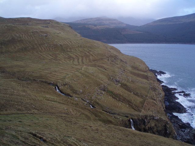
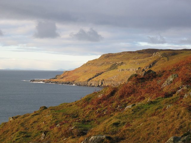
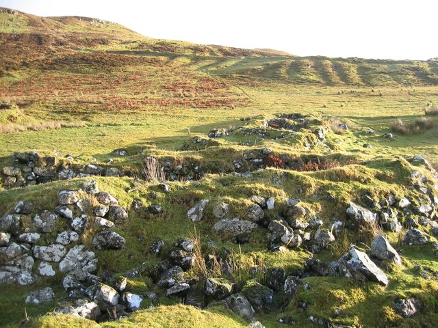
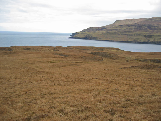
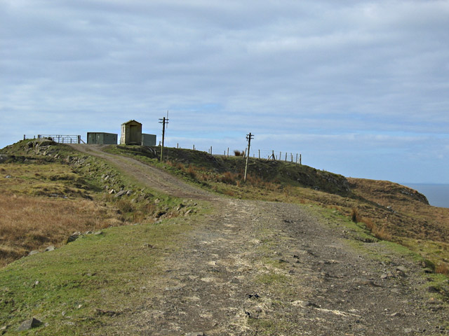
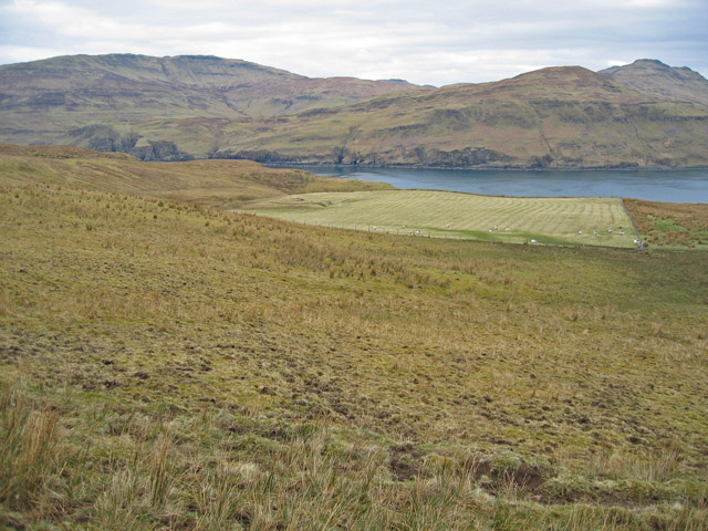
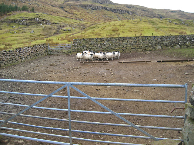
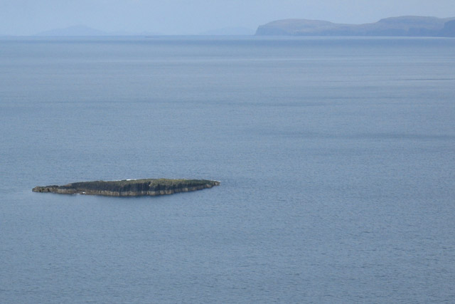
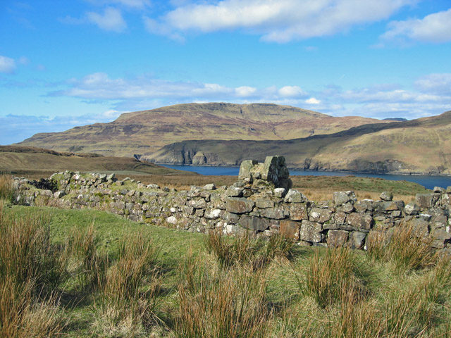
Camas nan Leac Images

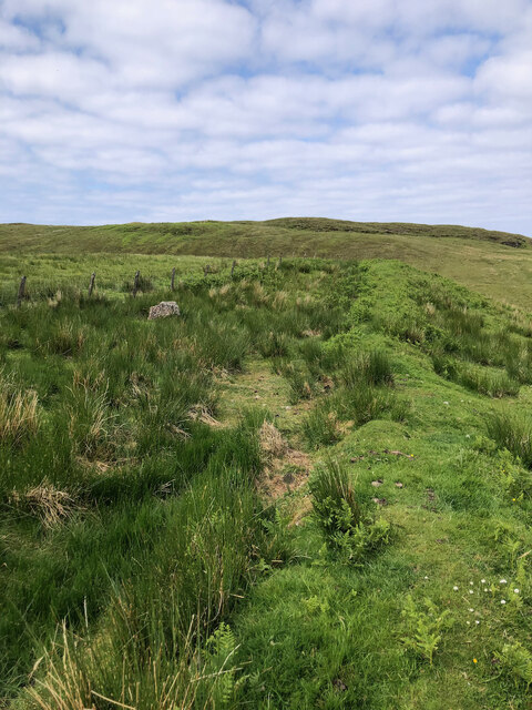
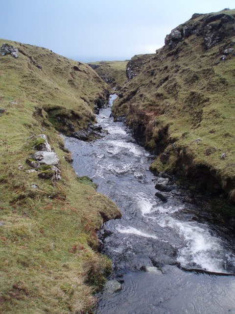
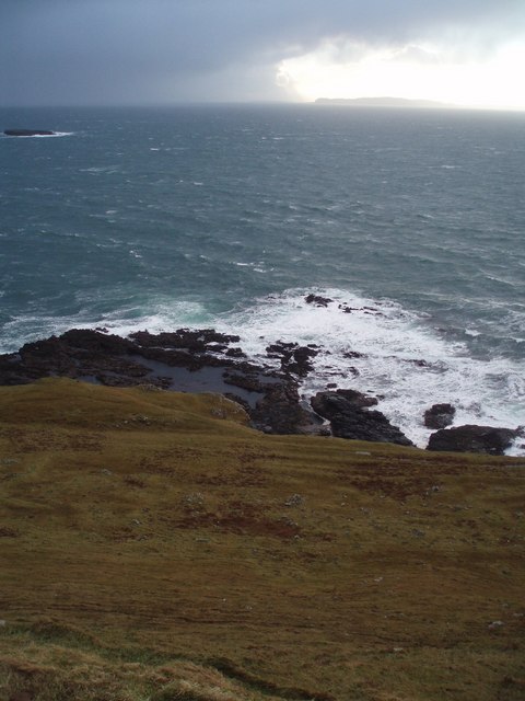
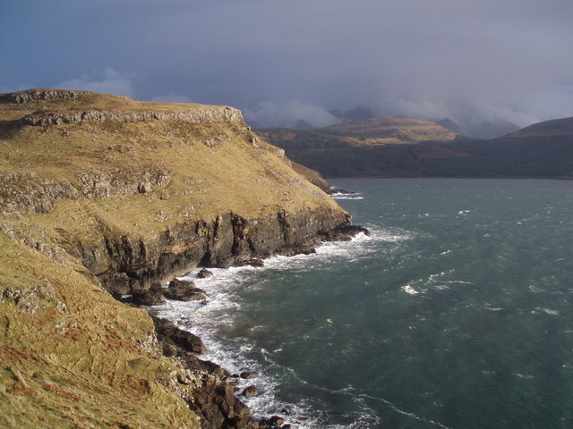
Images are sourced within 2km of 57.22741/-6.3818941 or Grid Reference NG3523. Thanks to Geograph Open Source API. All images are credited.
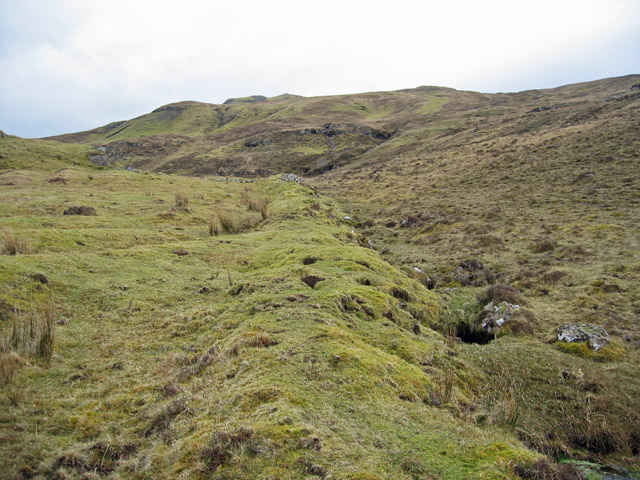
Nature's Resilience — An Ancient Dyke Reclaimed by Greenery
Ruins of Kraiknish Farmstead 19th Century according to ‘Skye, Kraiknish | Canmore’. 2023. Canmore.org.uk <<span class="nowrap"><a title="https://canmore.org.uk/site/352747/skye-kraiknish>" rel="nofollow ugc noopener" href="https://canmore.org.uk/site/352747/skye-kraiknish>">Link</a><img style="margin-left:2px;" alt="External link" title="External link - shift click to open in new window" src="https://s1.geograph.org.uk/img/external.png" width="10" height="10"/></span> [accessed 7 June 2023]
Ruins of Kraiknish Farmstead
19th Century according to ‘Skye, Kraiknish | Canmore’. 2023. Canmore.org.uk <LinkExternal link [accessed 7 June 2023]
Waterfall Ahead Burn in Glen Caladale just before it plunges to the sea - Minginish peninsula, Isle of Skye
Waterfall Ahead
Burn in Glen Caladale just before it plunges to the sea - Minginish peninsula, Isle of Skye
Coastline and Canna Coastal scenery of the Minginish peninsula with a dramatic sky above Canna. You can just see An Dubh-sgeir at left.
Coastline and Canna
Coastal scenery of the Minginish peninsula with a dramatic sky above Canna. You can just see An Dubh-sgeir at left.
Loch Eynort Coast Lovely coastal scenery at Loch Eynort, Isle of Skye with the brooding Cuillin shrouded in mist and cloud behind.
Loch Eynort Coast
Lovely coastal scenery at Loch Eynort, Isle of Skye with the brooding Cuillin shrouded in mist and cloud behind.
Waterfall A lovely spot to stop for lunch on a coastal walk round the Minginish peninsula, Isle of Skye. Not marked on OS 1:50,000 incredibly!
Waterfall
A lovely spot to stop for lunch on a coastal walk round the Minginish peninsula, Isle of Skye. Not marked on OS 1:50,000 incredibly!
Runrigs Old runrigs - fertile strips of land, once cultivated - beside Loch Eynort, Isle of Skye.
Runrigs
Old runrigs - fertile strips of land, once cultivated - beside Loch Eynort, Isle of Skye.
Creagan Dubh Coastline on the north side of the entrance to Loch Eynort.
Creagan Dubh
Coastline on the north side of the entrance to Loch Eynort.
Ruins in Tusdale Just a few of the many ruined houses in Tusdale, emptied of their people during the clearances. Signs of cultivation are clear on the hillside beyond.
It is said that Tusdale once had so many inhabitants that it was known as &amp;quot;the capital of Skye&amp;quot;.
Ruins in Tusdale
Just a few of the many ruined houses in Tusdale, emptied of their people during the clearances. Signs of cultivation are clear on the hillside beyond. It is said that Tusdale once had so many inhabitants that it was known as "the capital of Skye".
Geodha nan Gobhar A substantial geodh on the coast south of Loch Eynort. The cliff edges on this stretch of coast are convex and crumbly. Not a place to get too close to the edge.
Geodha nan Gobhar
A substantial geodh on the coast south of Loch Eynort. The cliff edges on this stretch of coast are convex and crumbly. Not a place to get too close to the edge.
Laimhrig na Moine Peaty moorland south of the mouth of Loch Eynort. Most of the land in the square can be seen in this view.
Laimhrig na Moine
Peaty moorland south of the mouth of Loch Eynort. Most of the land in the square can be seen in this view.
Radio station on Cnoc an Teine Presumably once a hill with a fire beacon, it now has the remains of a radio station on its summit. The two container-like boxes in the rear appear to be generators and the small wooden hut holds an empty computer cabinet with BT labels on it. I guess it is a redundant telephone relay that connected Skye and the Western Isles.
Radio station on Cnoc an Teine
Presumably once a hill with a fire beacon, it now has the remains of a radio station on its summit. The two container-like boxes in the rear appear to be generators and the small wooden hut holds an empty computer cabinet with BT labels on it. I guess it is a redundant telephone relay that connected Skye and the Western Isles.
Field at Kraiknish A surprisingly remote harvested field at Kraiknish on the south shore of Loch Eynort. It is a single, isolated, field and is 4km from the closest habitation.
Field at Kraiknish
A surprisingly remote harvested field at Kraiknish on the south shore of Loch Eynort. It is a single, isolated, field and is 4km from the closest habitation.
Turf wall south of Kraiknish Looking up, more steeply than the picture suggests, towards the summit of An Cruachan.
Turf wall south of Kraiknish
Looking up, more steeply than the picture suggests, towards the summit of An Cruachan.
Cairn by the Allt Sgeiteadh What appears to be a chambered burial cairn by the burn south of Cnoc an Teine. It is not marked on the OS maps.
Cairn by the Allt Sgeiteadh
What appears to be a chambered burial cairn by the burn south of Cnoc an Teine. It is not marked on the OS maps.
Sheepfold at Kraiknish Complete with eleven hungry sheep and no sign of anyone to feed them.
Sheepfold at Kraiknish
Complete with eleven hungry sheep and no sign of anyone to feed them.
An Dubh-sgeir The sgeir is the only dry land in the square. This view is from the cliff top north of Geodha nan Gobhar.
An Dubh-sgeir
The sgeir is the only dry land in the square. This view is from the cliff top north of Geodha nan Gobhar.
Ruins at Kraiknish This area of Skye is miles from the closest habitation today, but it once supported a fair sized community. There are many ruined houses of different ages and there is much evidence of agriculture in the area.
The view beyond the ruin is across Loch Eynort to Tusdale and Beinn Bhreac.
Ruins at Kraiknish
This area of Skye is miles from the closest habitation today, but it once supported a fair sized community. There are many ruined houses of different ages and there is much evidence of agriculture in the area. The view beyond the ruin is across Loch Eynort to Tusdale and Beinn Bhreac.
Show me another place!

Camas nan Leac is located at Grid Ref: NG3523 (Lat: 57.22741, Lng: -6.3818941)

Unitary Authority: Highland

Police Authority: Highlands and Islands

What 3 Words

///sway.norms.bouncing. Near Carbost, Highland

Related Wikis

Eynort

Eynort (Scottish Gaelic: Aoineart) is a small remote hamlet, situated at the head of Loch Eynort, on the west coast of the Isle of Skye, Scottish Highlands...

Glen Brittle

Glen Brittle (Gleann Breadail in Scottish Gaelic) is a large glen in the south of the Isle of Skye, in Scotland. It runs roughly south to north, along...

Minginish

Minginish (Scottish Gaelic: Minginis) is a peninsula on the Isle of Skye in Scotland. It is situated on the west coast of the island and runs from Loch...

Eas Mòr, Glen Brittle

Eas Mòr is a waterfall in Glen Brittle on the island of Skye in Scotland. It lies on the Allt Coire na Bannachdich in a small gorge east of Glenbrittle...

Nearby Amenities

Located within 500m of 57.22741,-6.3818941
Source: PGS
Lat/Long: 57.2277722/-6.3736162
Source: PGS
Lat/Long: 57.227749/-6.3738823
Source: PGS
Lat/Long: 57.2278113/-6.3741799
Source: PGS
Lat/Long: 57.2278155/-6.3744032
Source: PGS
Lat/Long: 57.2277409/-6.3754162
Source: PGS
Lat/Long: 57.2278829/-6.3790276
Source: PGS
Lat/Long: 57.2276878/-6.3791915
Source: PGS
Lat/Long: 57.2273232/-6.3804694
Source: PGS
Lat/Long: 57.2270946/-6.381979
Source: PGS
Lat/Long: 57.2267886/-6.3819373
Created By: dmgroom_coastlines
Source: PGS
Lat/Long: 57.22628/-6.38291
Source: PGS
Lat/Long: 57.2258745/-6.3844675
Source: PGS
Lat/Long: 57.2259886/-6.3848911
Source: PGS
Lat/Long: 57.2255898/-6.3847944
Source: PGS
Lat/Long: 57.2255693/-6.3851335
Source: PGS
Lat/Long: 57.2251378/-6.3854566
Source: PGS
Lat/Long: 57.224782/-6.3848678
Source: PGS
Lat/Long: 57.2243343/-6.3848748
Source: PGS
Lat/Long: 57.2239784/-6.3853038
Source: PGS
Lat/Long: 57.2237437/-6.3851355
Source: PGS
Lat/Long: 57.2235643/-6.3853453
Laimhrig na Mòine
Place: locality
Lat/Long: 57.2255328/-6.3804794
The data included in this document is from www.openstreetmap.org. The data is made available under ODbL.

Have you been to Camas nan Leac?

Leave your review of Camas nan Leac below (or comments, questions and feedback).