Polpry Cove

Bay in Cornwall

England

Polpry Cove

Carn Gloose Trig Point Flush Bracket S8141
Carn Gloose Trig Point Flush Bracket S8141 Credit: thejackrustles

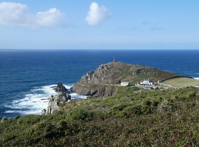
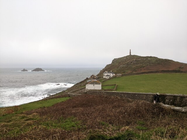
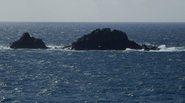
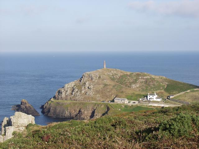
Polpry Cove is a picturesque bay located in Cornwall, England. Nestled along the southwestern coast of the county, this cove is renowned for its stunning natural beauty and tranquil atmosphere. The bay is situated between two towering cliffs, creating a secluded and sheltered environment.

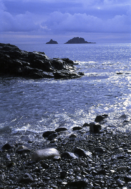
The beach at Polpry Cove is characterized by its pristine golden sands and crystal-clear turquoise waters. It stretches for approximately 100 meters and is backed by low sand dunes, providing a peaceful and idyllic setting. The beach is relatively small, making it an ideal spot for those seeking a quiet escape from the crowds.

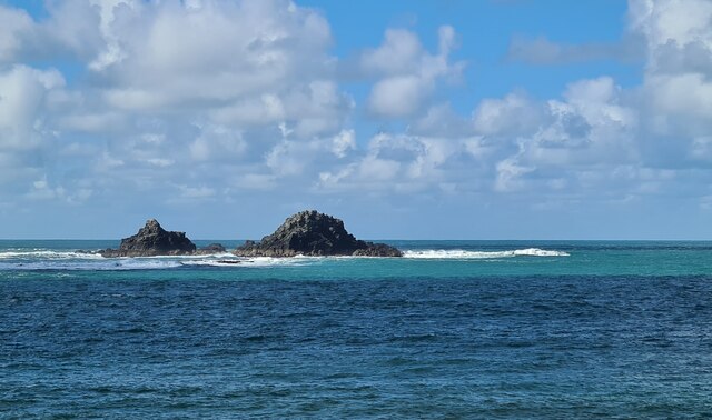
The cove offers ample opportunities for water activities such as swimming and snorkeling due to its calm and clear waters. The beach is also a popular spot for sunbathing and picnicking, with plenty of space to relax and enjoy the coastal views. The surrounding cliffs provide a dramatic backdrop, adding to the allure of the bay.

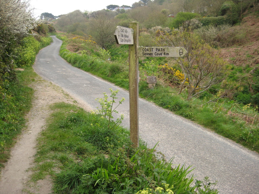
Access to Polpry Cove is via a footpath from the nearby village of Polpry. The path winds through picturesque countryside, offering stunning views of the coastline along the way. Due to its slightly remote location, the cove remains relatively uncrowded even during peak tourist seasons.

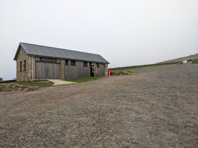
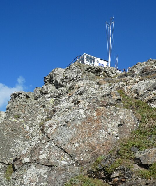
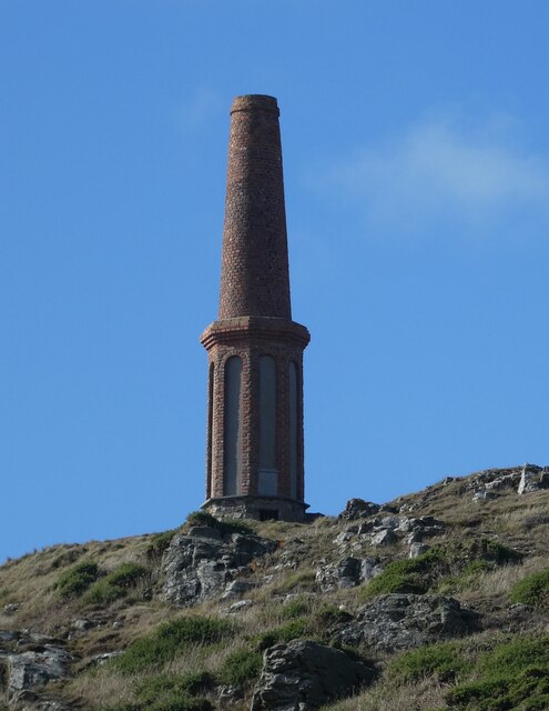
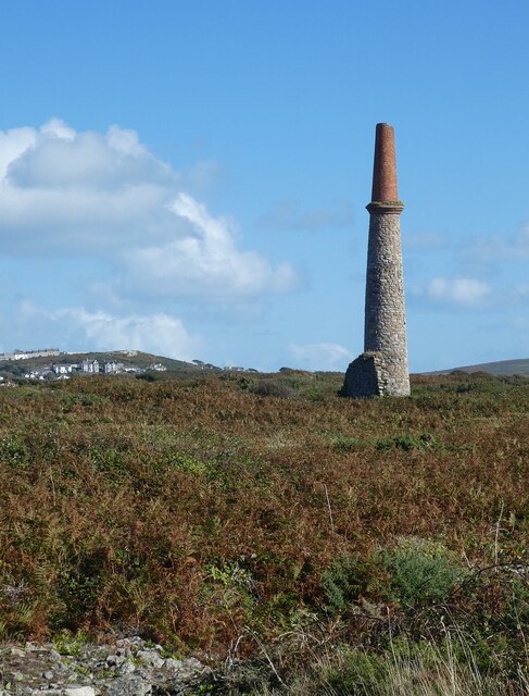
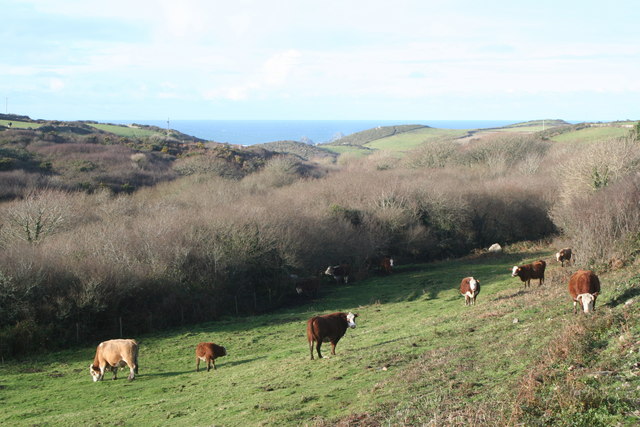
Visitors to Polpry Cove can also explore the nearby Polpry Heritage Coast, which is known for its rugged cliffs, hidden coves, and diverse wildlife. The coastal area is rich in history and offers fantastic opportunities for hiking and exploring. Overall, Polpry Cove is a hidden gem in Cornwall, providing a peaceful and unspoiled coastal experience for visitors.

If you have any feedback on the listing, please let us know in the comments section below.
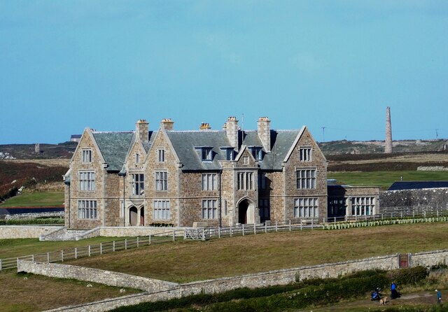
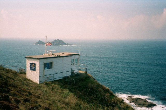
Polpry Cove Images

Images are sourced within 2km of 50.110673/-5.6994958 or Grid Reference SW3529. Thanks to Geograph Open Source API. All images are credited.

Carn Gloose Trig Point Flush Bracket S8141
Ballowall Barrow This Bronze Age barrow was excavated (and radically altered) in 1878 by Cornish antiquarian William Borlase. The internal walls were rebuilt by him which has unfortunately affected the way it is perceived. It is however an evocative site in a stunning location.
See <span class="nowrap"><a title="https://www.english-heritage.org.uk/visit/places/ballowall-barrow" rel="nofollow ugc noopener" href="https://www.english-heritage.org.uk/visit/places/ballowall-barrow">Link</a><img style="margin-left:2px;" alt="External link" title="External link - shift click to open in new window" src="https://s1.geograph.org.uk/img/external.png" width="10" height="10"/></span>
Ballowall Barrow
This Bronze Age barrow was excavated (and radically altered) in 1878 by Cornish antiquarian William Borlase. The internal walls were rebuilt by him which has unfortunately affected the way it is perceived. It is however an evocative site in a stunning location. See LinkExternal link
Cape Cornwall from Ballowall Barrow Looking over to England's only cape - Cape Cornwall as seen from beside <a href="https://www.geograph.org.uk/photo/6982138">SW3531 : Ballowall Barrow</a>
Cape Cornwall from Ballowall Barrow
Looking over to England's only cape - Cape Cornwall as seen from beside SW3531 : Ballowall Barrow
Cape Cornwall seen from the National Trust car park
National Trust car park and hut at Cape Cornwall
The Brisons rocks viewed from Porth Nanven
The stream from Cot Valley discharging onto the beach at Porth Nanven
Eroded rocks on the beach at Porth Nanven Worn away by the stream in the Cot Valley, which discharges onto the beach here.
Eroded rocks on the beach at Porth Nanven
Worn away by the stream in the Cot Valley, which discharges onto the beach here.
Emergency call point at Porth Nanven
The Brisons The twin peaks of The Brisons are 22m (72') and 27m (89') high. They lie about a mile southwest of Cape Cornwall. The gap between the rocks is called the Adgiwar Gap.
The Brisons
The twin peaks of The Brisons are 22m (72') and 27m (89') high. They lie about a mile southwest of Cape Cornwall. The gap between the rocks is called the Adgiwar Gap.
NCI Lookout Station, Cape Cornwall Looking up at the little National Coastwatch Institution Lookout Station on the coast of Cape Cornwall.
NCI Lookout Station, Cape Cornwall
Looking up at the little National Coastwatch Institution Lookout Station on the coast of Cape Cornwall.
Cape Cornwall Chimney This prominent landmark on the top of the cliffs of Cape Cornwall is a former mining chimney. It is built of red brick with the lower half being octagonal with round-topped arches revealing lighter coloured stone or render.
Cape Cornwall Chimney
This prominent landmark on the top of the cliffs of Cape Cornwall is a former mining chimney. It is built of red brick with the lower half being octagonal with round-topped arches revealing lighter coloured stone or render.
Chimney of former mine at Ballowall Situated a few dozen metres southeast of <a href="https://www.geograph.org.uk/photo/6982138">SW3531 : Ballowall Barrow</a> this chimney is all that is left of a former mine. It is one of many mining remnants in the area, which collectively form the Cornwall and West Devon Mining Landscape UNESCO World Heritage site - see
UNESCO: <span class="nowrap"><a title="https://whc.unesco.org/en/list/1215" rel="nofollow ugc noopener" href="https://whc.unesco.org/en/list/1215">Link</a><img style="margin-left:2px;" alt="External link" title="External link - shift click to open in new window" src="https://s1.geograph.org.uk/img/external.png" width="10" height="10"/></span>
English Heritage: <span class="nowrap"><a title="https://historicengland.org.uk/listing/the-list/list-entry/1000105?section=official-list-entry" rel="nofollow ugc noopener" href="https://historicengland.org.uk/listing/the-list/list-entry/1000105?section=official-list-entry">Link</a><img style="margin-left:2px;" alt="External link" title="External link - shift click to open in new window" src="https://s1.geograph.org.uk/img/external.png" width="10" height="10"/></span>
Chimney of former mine at Ballowall
Situated a few dozen metres southeast of SW3531 : Ballowall Barrow this chimney is all that is left of a former mine. It is one of many mining remnants in the area, which collectively form the Cornwall and West Devon Mining Landscape UNESCO World Heritage site - see UNESCO: LinkExternal link English Heritage: LinkExternal link
Porthledden House Porthledden House on the road to Cape Cornwall is called by English Heritage "a good example of an early C20th gentleman's house with associations with the mining industry." 
It was built c.1907-9 for the mineralogist Francis Oats, a captain at Botallack mine before he was appointed Inspector of Mines by the Colonial Office. He became manager of the Victoria Diamond Mine in South Africa and later chairman of De Beers.
Porthledden House
Porthledden House on the road to Cape Cornwall is called by English Heritage "a good example of an early C20th gentleman's house with associations with the mining industry." It was built c.1907-9 for the mineralogist Francis Oats, a captain at Botallack mine before he was appointed Inspector of Mines by the Colonial Office. He became manager of the Victoria Diamond Mine in South Africa and later chairman of De Beers.
St Just Free Church
St Just Free Church
Cape Cornwall The (almost) Westernmost point of England, the only 'cape' in England. The chimney viewed from Carn Gloose, looking NW.
Cape Cornwall
The (almost) Westernmost point of England, the only 'cape' in England. The chimney viewed from Carn Gloose, looking NW.
Looking out towards the Brisons From Priests Cove, Cape Cornwall
Coastwatch hut at Cape Cornwall This is one of the lookout stations operated by the National Coastwatch Institution <span class="nowrap"><a title="http://www.nci.org.uk/" rel="nofollow ugc noopener" href="http://www.nci.org.uk/">Link</a><img style="margin-left:2px;" alt="External link" title="External link - shift click to open in new window" src="https://s1.geograph.org.uk/img/external.png" width="10" height="10"/></span> . In the background are the Brisons.
Coastwatch hut at Cape Cornwall
This is one of the lookout stations operated by the National Coastwatch Institution LinkExternal link . In the background are the Brisons.
Show me another place!

Polpry Cove is located at Grid Ref: SW3529 (Lat: 50.110673, Lng: -5.6994958)

Unitary Authority: Cornwall

Police Authority: Devon and Cornwall

What 3 Words

///pushed.tastes.laminate. Near St Just, Cornwall

Related Wikis

Porth Nanven

Porth Nanven (grid reference SW355307; most well known as Cot Valley and occasionally known as Penanwell) is a beach in the far west of Cornwall, England...

Cot Valley

Cot Valley is located half-a-mile south of St Just in west Cornwall, United Kingdom. It has a very mild microclimate.The stream which runs down the valley...

Nanquidno

Nanquidno is a hamlet near St Just in Penwith in west Cornwall, England. It is about half a mile southwest of Kelynack. == References ==

Ballowall Barrow

Ballowall Barrow (Cornish: Krug Karrekloos) is a prehistoric funerary cairn (chambered tomb) which Ashbee (1982) and Hencken (1902–81) state contains...

Nearby Amenities

Located within 500m of 50.110673,-5.6994958
Barrier: kissing_gate
Foot: yes
Lat/Long: 50.1109478/-5.6963216
Barrier: kissing_gate
Lat/Long: 50.1066874/-5.696784
Barrier: stile
Lat/Long: 50.1130522/-5.6961599
Man Made: mineshaft
Lat/Long: 50.1145914/-5.6989072
Barrier: stile
Lat/Long: 50.1127396/-5.6967503
The data included in this document is from www.openstreetmap.org. The data is made available under ODbL.

Have you been to Polpry Cove?

Leave your review of Polpry Cove below (or comments, questions and feedback).