Talisker Bay
Bay in Inverness-shire
Scotland
Talisker Bay
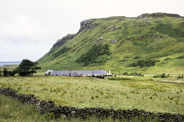
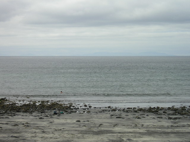
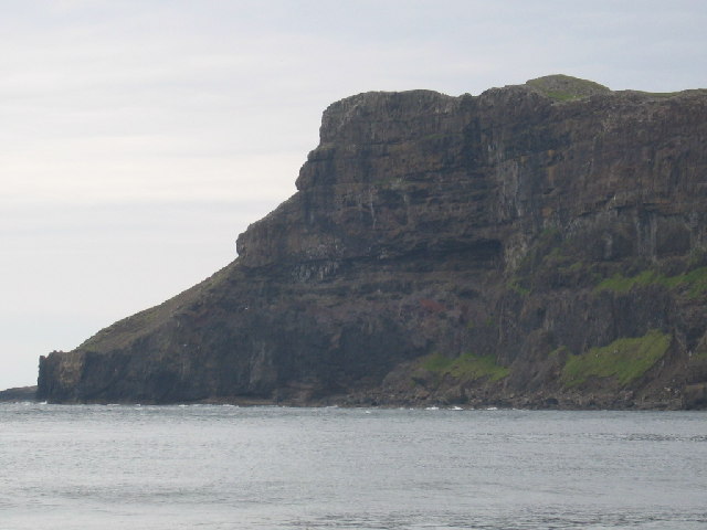
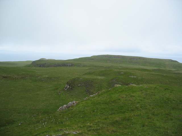
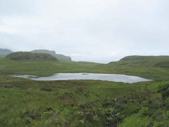
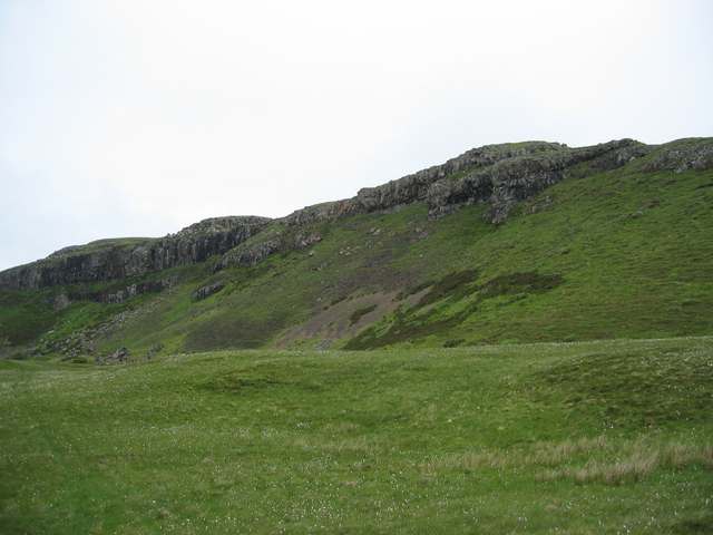
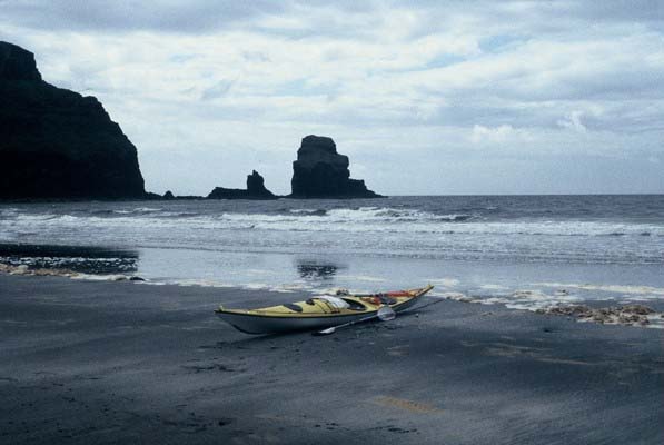
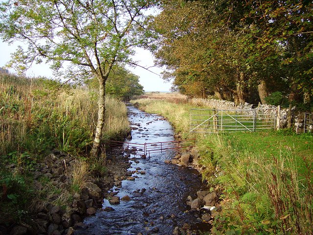
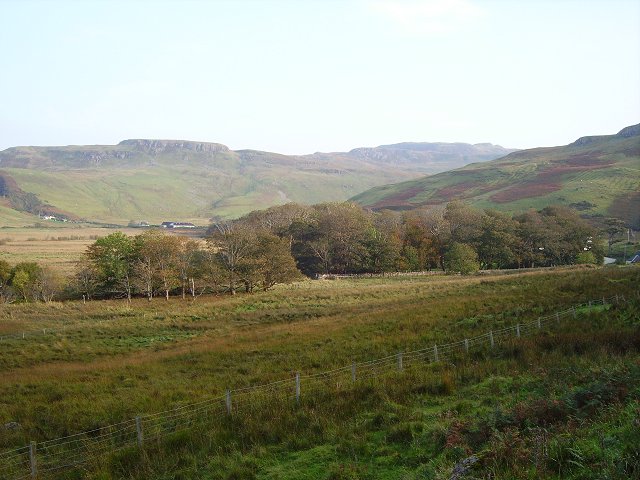
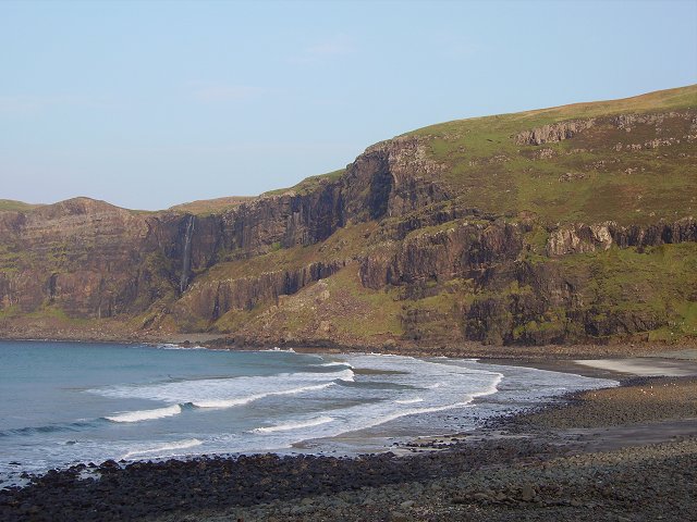
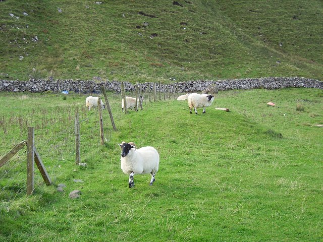
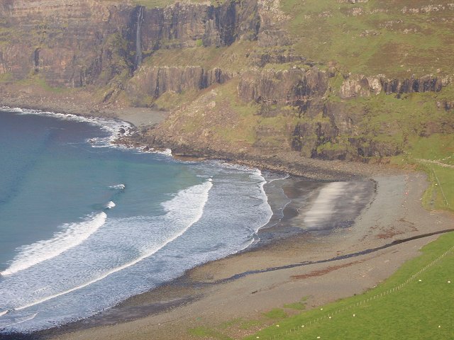
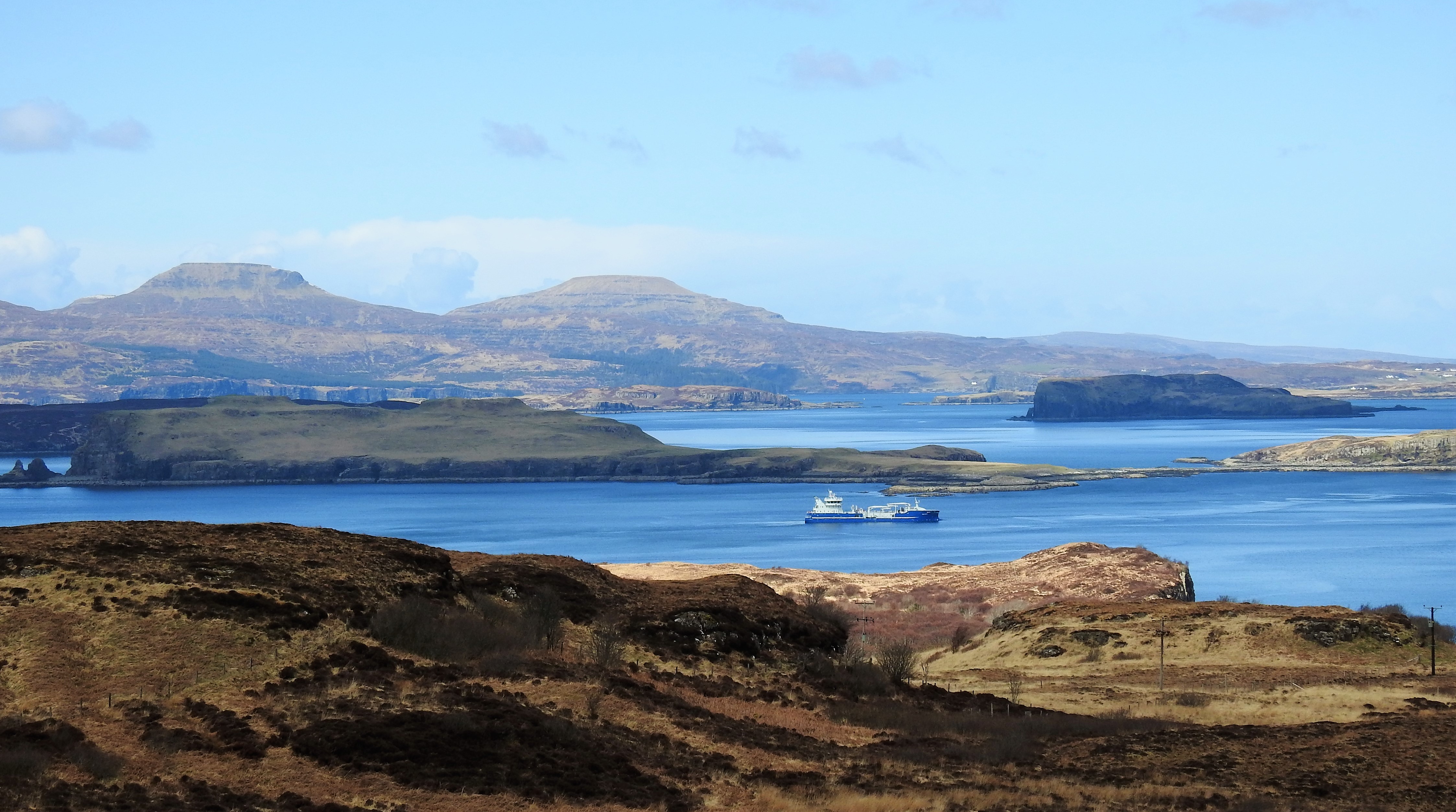
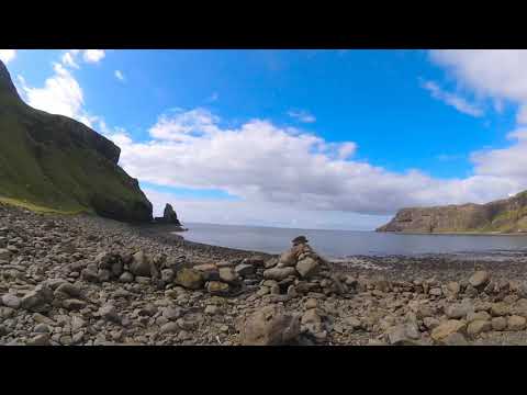
Talisker Bay is a stunning beach located on the Isle of Skye in Inverness-shire, Scotland. This remote and rugged bay is known for its dramatic scenery, with towering cliffs, golden sands, and crystal-clear waters. The beach is nestled between two headlands, providing a sheltered cove that is perfect for swimming and sunbathing.
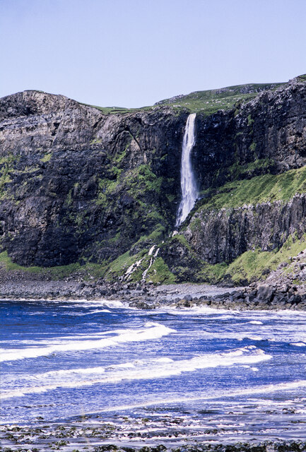
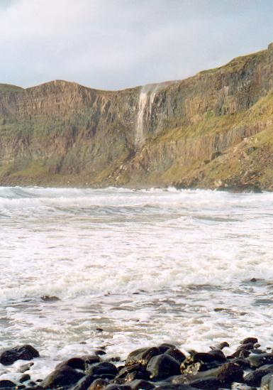
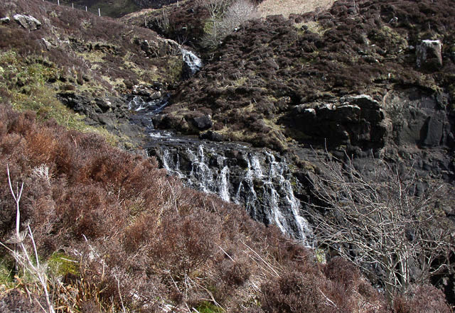
Talisker Bay is also famous for its impressive waterfall, which cascades down the cliffs and into the sea. The waterfall can be reached by taking a short hike along the coastal path, offering visitors a unique and picturesque view of the bay.
In addition to its natural beauty, Talisker Bay is also a popular spot for wildlife enthusiasts. Seals can often be spotted lounging on the rocks, while seabirds soar overhead. The bay is also home to a variety of marine life, making it a great spot for snorkeling and diving.
Overall, Talisker Bay is a must-visit destination for anyone looking to experience the wild and untamed beauty of the Scottish Highlands.
If you have any feedback on the listing, please let us know in the comments section below.
Talisker Bay Images
Images are sourced within 2km of 57.28402/-6.4692981 or Grid Reference NG3030. Thanks to Geograph Open Source API. All images are credited.
Talisker Bay is located at Grid Ref: NG3030 (Lat: 57.28402, Lng: -6.4692981)
Unitary Authority: Highland
Police Authority: Highlands and Islands
What 3 Words
///axed.possibly.pranced. Near Carbost, Highland
Nearby Locations
Related Wikis

Talisker
Talisker (Scottish Gaelic: Talasgair) is a settlement on the Minginish peninsula in the Isle of Skye, Scotland. == History == Talisker was for centuries...

Fiskavaig
Fiskavaig or Fiscavaig (Scottish Gaelic: Fiosgabhaig) is a picturesque crofting settlement on the north-west shore of the Minginish peninsula, Isle of...
Oronsay, Loch Bracadale
Oronsay (Scottish Gaelic: Orasaigh) is an uninhabited tidal island in Loch Bracadale on the west coast of Skye, Scotland. It is c.1,000 metres (0.7miles...

Portnalong
Portnalong (Scottish Gaelic: Port nan Long) is a small village on north west of the Isle of Skye on the shore of Loch Harport. Portnalong is Gaelic for...
Related Videos

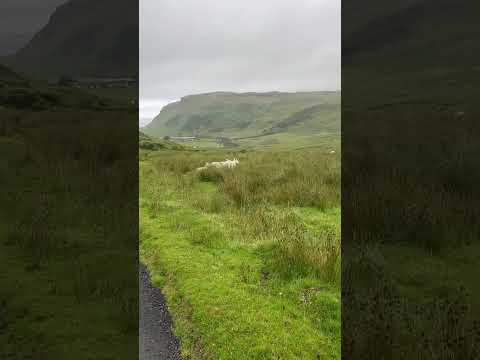
Scotland 🏴: Isle of Skye | Talisker Bay
A wet hiking trip around Talisker Bay on The Isle of Skye, Scotland.

Taliskers Visitor Centre! #shorts #whisky #talisker
Take a look inside Taliskers new Visitor Centre! #travel #whiskey #whisky #skye #scotland #bourbon.
Nearby Amenities
Located within 500m of 57.28402,-6.4692981Have you been to Talisker Bay?
Leave your review of Talisker Bay below (or comments, questions and feedback).