Wreck Bay

Bay in Argyllshire

Scotland

Wreck Bay

Rum - Rocky summit of Sròn an t-Saighdeir
Rum - Rocky summit of Sròn an t-Saighdeir Credit: Colin Park

The requested URL returned error: 429 Too Many Requests

If you have any feedback on the listing, please let us know in the comments section below.
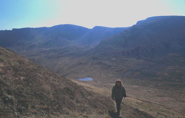
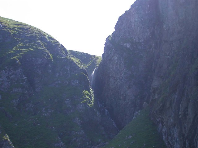
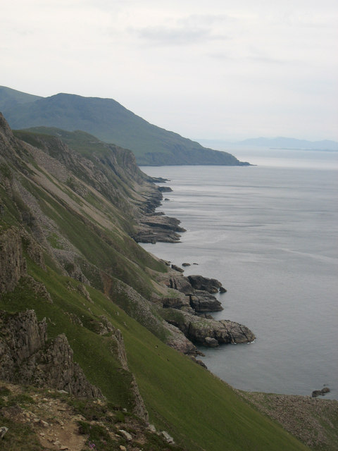
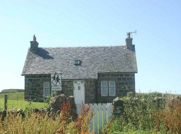
Wreck Bay Images

Images are sourced within 2km of 56.994752/-6.4332634 or Grid Reference NM3098. Thanks to Geograph Open Source API. All images are credited.

Rum - Rocky summit of Sròn an t-Saighdeir
Bealach an Dubh-bhraigh Path built to service the bloodstone mine on Bloodstone Hill. The corries of Orval in the background.
Bealach an Dubh-bhraigh
Path built to service the bloodstone mine on Bloodstone Hill. The corries of Orval in the background.
Waterfall Camas na h-Atha, Rum North coast of Rum storm beach, with high waterfall. Inaccessible except by sea.
Waterfall Camas na h-Atha, Rum
North coast of Rum storm beach, with high waterfall. Inaccessible except by sea.
View over Wreck Bay View from a gully in the Sgòrr Reidh cliffs of southwest Rùm over Wreck Bay towards Harris Bay and Ruinsival.
View over Wreck Bay
View from a gully in the Sgòrr Reidh cliffs of southwest Rùm over Wreck Bay towards Harris Bay and Ruinsival.
Shielings above Sgòrr Reidh Ruined shielings high above the cliffs of Sgòrr Reidh in southwest Rùm.
Shielings above Sgòrr Reidh
Ruined shielings high above the cliffs of Sgòrr Reidh in southwest Rùm.
Cliffs, Sgòrr Reidh Columnar-jointed rhyolite cliffs and scree on Sgòrr Reidh, southwest Rùm.
Cliffs, Sgòrr Reidh
Columnar-jointed rhyolite cliffs and scree on Sgòrr Reidh, southwest Rùm.
Looking back to the south-east  with Ruinsival in the distance Along the high cliffs of the island's north-west. The picture was taken during a three day 'circumperambulation' of Rum
Looking back to the south-east with Ruinsival in the distance
Along the high cliffs of the island's north-west. The picture was taken during a three day 'circumperambulation' of Rum
Rum - Sròn an t-Saighdeir from Orval Sròn an t-Saighdeir is the southern side of Glen Guirdil which runs roughly NW to the coast.
Rum - Sròn an t-Saighdeir from Orval
Sròn an t-Saighdeir is the southern side of Glen Guirdil which runs roughly NW to the coast.
Distant Rum Isolated and mountainous island of Rum, seen from the Oban-Lochboisdale ferry.
Distant Rum
Isolated and mountainous island of Rum, seen from the Oban-Lochboisdale ferry.
Show me another place!

Wreck Bay is located at Grid Ref: NM3098 (Lat: 56.994752, Lng: -6.4332634)

Unitary Authority: Highland

Police Authority: Highlands and Islands

What 3 Words

///nips.uttering.each. Near Elgol, Highland

Nearby Locations

Schooner Point Wreck Bay

Related Wikis

Rùm

Rùm (Scottish Gaelic pronunciation: [rˠuːm]), a Scottish Gaelic name often anglicised to Rum ( rum), is one of the Small Isles of the Inner Hebrides,...

Sanday, Inner Hebrides

Sanday (Scottish Gaelic: Sandaigh; Scots: Sandee) is one of the Small Isles, in the Scottish Inner Hebrides. It is a tidal island linked to its larger...

Trollabhal

Trollabhal (also known as Trallval) (702 m) is a mountain in the island of Rùm in Lochaber, Scotland. Although the lowest of the 'Rum Cuillin' in the south...

St Edward's Church, Sanday

St Edward's Church, Sanday, is a deconsecrated, and now disused church on the small isle of Sanday, Inner Hebrides, Scotland. The church was a gift to...

Have you been to Wreck Bay?

Leave your review of Wreck Bay below (or comments, questions and feedback).