Achalone
Settlement in Caithness
Scotland
Achalone
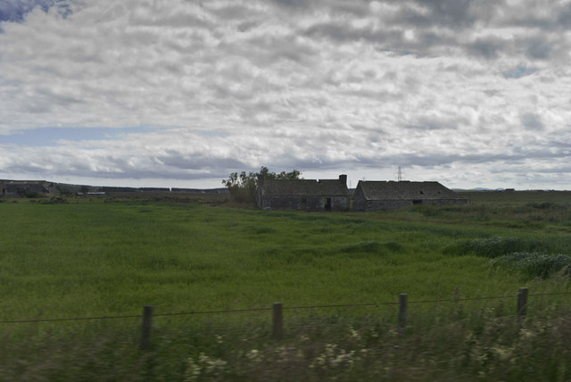
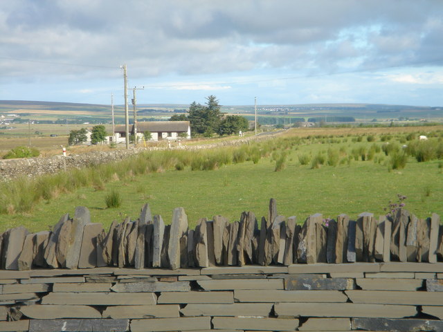
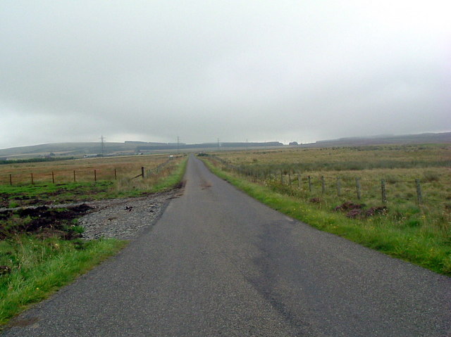
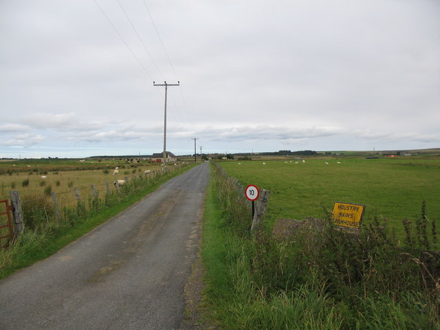
Achalone is a small village located in the county of Caithness in the northernmost part of Scotland. Situated on the east coast, it lies approximately 6 miles southeast of the town of Wick. The village is nestled amidst rolling hills and picturesque countryside, offering residents and visitors a tranquil and scenic setting.
Achalone is home to a tight-knit community, with a population of around 200 people. The village is known for its friendly and welcoming atmosphere, making it an ideal place for those seeking a peaceful and close-knit community.
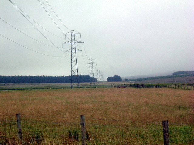
The main economic activities in Achalone revolve around agriculture and small-scale farming. The fertile lands surrounding the village provide ample opportunities for locals to engage in farming activities, with crops such as barley, oats, and potatoes being commonly cultivated.
The village itself comprises a mix of traditional stone cottages and more modern houses, reflecting the blend of old and new in the community. There are a few local amenities in Achalone, including a small convenience store, a primary school, and a community hall that serves as a hub for social gatherings and events.
Nature enthusiasts will find plenty to explore in the surrounding area, with the picturesque Caithness countryside offering beautiful walking trails, wildlife spotting opportunities, and stunning coastal views. Achalone is also a short distance away from several notable historical sites, such as the nearby ruins of Old Wick Castle and the famous prehistoric monument, the Hill O' Many Stanes.
Overall, Achalone in Caithness offers a tranquil and close-knit community, idyllic countryside surroundings, and a rich historical and natural heritage for residents and visitors to enjoy.
If you have any feedback on the listing, please let us know in the comments section below.
Achalone Images
Images are sourced within 2km of 58.492889/-3.454593 or Grid Reference ND1556. Thanks to Geograph Open Source API. All images are credited.


Achalone is located at Grid Ref: ND1556 (Lat: 58.492889, Lng: -3.454593)
Unitary Authority: Highland
Police Authority: Highlands and Islands
What 3 Words
///observers.breezes.abolish. Near Halkirk, Highland
Nearby Locations
Related Wikis

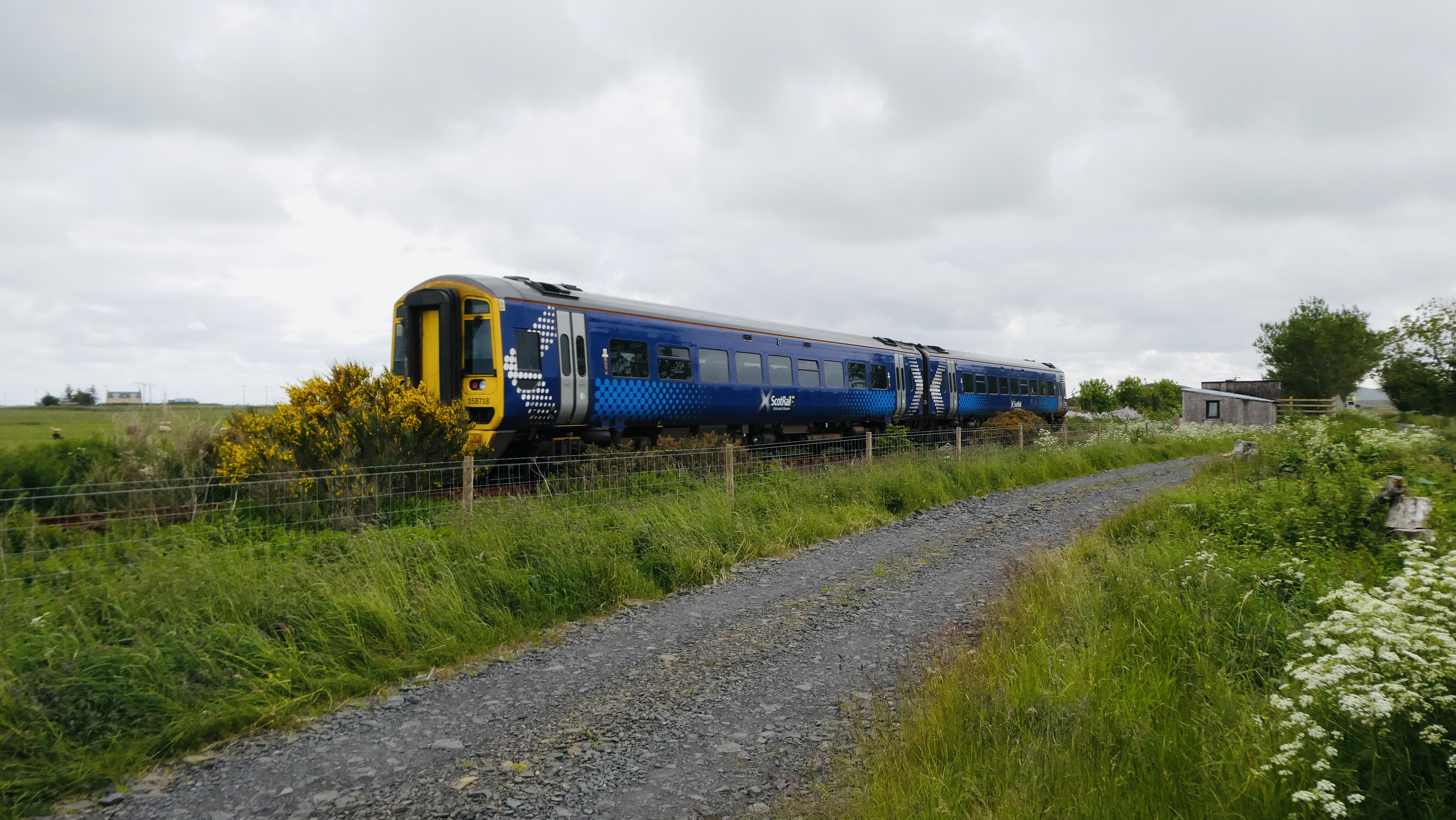
Georgemas Junction railway station
Georgemas Junction railway station is a railway station located in the Highland council area in the far north of Scotland. It serves several rural hamlets...
Halkirk railway station
Halkirk was a railway station located on the southern edge of the village of Halkirk, in Caithness in the Highland council area. The station opened on...

Halkirk
Halkirk (Scottish Gaelic: Hàcraig) is a village on the River Thurso in Caithness, in the Highland council area of Scotland. From Halkirk the B874 road...

Georgemas
Georgemas is an area in the county of Caithness, in the Highland area of Scotland, about 8 kilometres (5.0 mi) south of the town of Thurso and about two...
Spittal, Highland
Spittal is a small hamlet in Caithness, Scottish Highlands and is in the Scottish council area of Highland. Spittal lies 9 miles (14 km) south of Thurso...

Halkirk Auld Kirk
Halkirk Auld Kirk is a former parish church in Halkirk, Caithness, Scotland. Built in 1753, it stopped being used in 1934 and is now a ruin. Halkirk parish...

Hoy railway station
Hoy was a railway station located northeast of Halkirk, Highland. The station opened on 28 July 1874 and closed to regular passenger traffic on 29 November...

Braal Castle
Braal Castle is located by the River Thurso north of the village of Halkirk, in Caithness, northern Scotland. The ruined castle, which dates back to the...
Nearby Amenities
Located within 500m of 58.492889,-3.454593Have you been to Achalone?
Leave your review of Achalone below (or comments, questions and feedback).