Ach'an Todhair
Settlement in Inverness-shire
Scotland
Ach'an Todhair
Ach'an Todhair is a picturesque village located in Inverness-shire, a historic county in the Highlands of Scotland. Situated on the banks of the River Spey, this charming settlement is surrounded by breathtaking natural beauty and is known for its tranquility and idyllic atmosphere.
The village is located approximately 20 miles southeast of the city of Inverness and is easily accessible by road. Its strategic location makes it an ideal base for exploring the stunning Cairngorms National Park, which lies to the south. The area is a haven for outdoor enthusiasts, offering a plethora of activities such as hiking, mountain biking, fishing, and wildlife spotting.
Ach'an Todhair is characterized by its traditional Scottish architecture, with many stone cottages dotting the landscape. The village has a small but close-knit community, and visitors can expect a warm welcome from the friendly locals. There are a few small shops and amenities available, including a local pub that serves traditional Scottish fare and locally brewed ales.
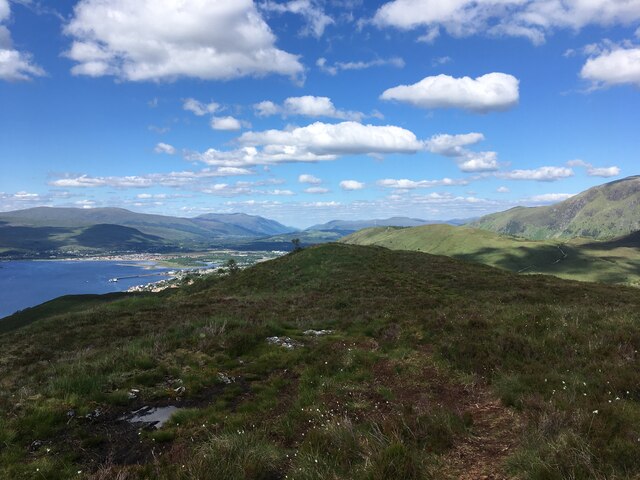
One of the main attractions in the area is the nearby Loch Insh, a beautiful freshwater lake that offers a range of water sports, including sailing and kayaking. The surrounding forests and hills also provide ample opportunities for scenic walks and hikes, with stunning views of the surrounding landscape.
Overall, Ach'an Todhair is a hidden gem in Inverness-shire, offering a tranquil escape from the hustle and bustle of city life. With its natural beauty, friendly community, and abundance of outdoor activities, it is a destination that will captivate the hearts of nature lovers and adventure seekers alike.
If you have any feedback on the listing, please let us know in the comments section below.
Ach'an Todhair Images
Images are sourced within 2km of 56.800208/-5.1295507 or Grid Reference NN0972. Thanks to Geograph Open Source API. All images are credited.


Ach'an Todhair is located at Grid Ref: NN0972 (Lat: 56.800208, Lng: -5.1295507)
Unitary Authority: Highland
Police Authority: Highlands and Islands
What 3 Words
///tight.developed.input. Near Fort William, Highland
Nearby Locations
Related Wikis

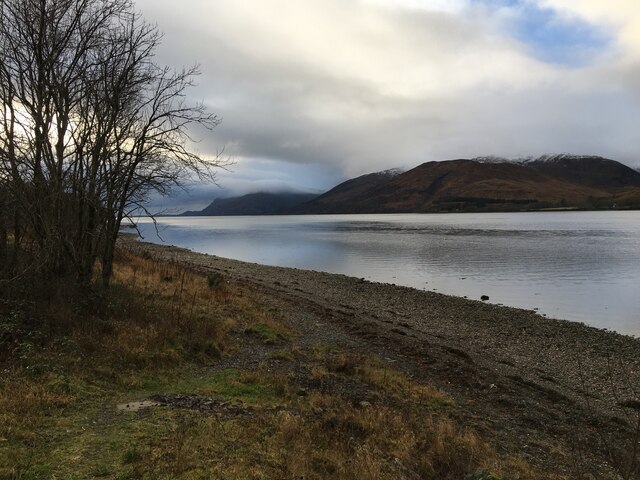
Ach' An Todhair
Ach' An Todhair is a small hamlet on the shore of Loch Linnhe in the Highland council area, Scotland. It is located along the A82 road directly south of...

Stronchreggan
Stronchreggan (Scottish Gaelic: Sròn a' Chritheagain) is a scattered coastal hamlet, on the north eastern shores of Loch Linnhe, and is situated directly...
Druimarben
Druimarben (Scottish Gaelic: Druim Earbainn) is a hamlet on the east shore of Loch Linnhe in Inverness-shire, Scottish Highlands and is in the Scottish...
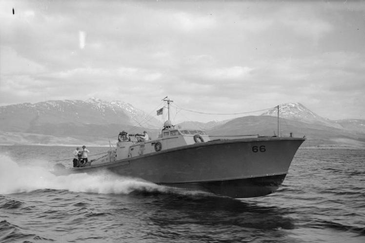
HMS St Christopher (shore establishment)
HMS St Christopher was a Coastal Forces training base of the Royal Navy operational during the Second World War and located in and around Fort William...
Nearby Amenities
Located within 500m of 56.800208,-5.1295507Have you been to Ach'an Todhair?
Leave your review of Ach'an Todhair below (or comments, questions and feedback).