Achaleven
Settlement in Argyllshire
Scotland
Achaleven
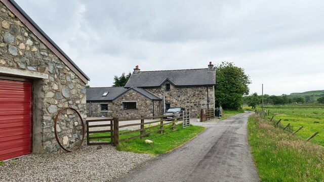
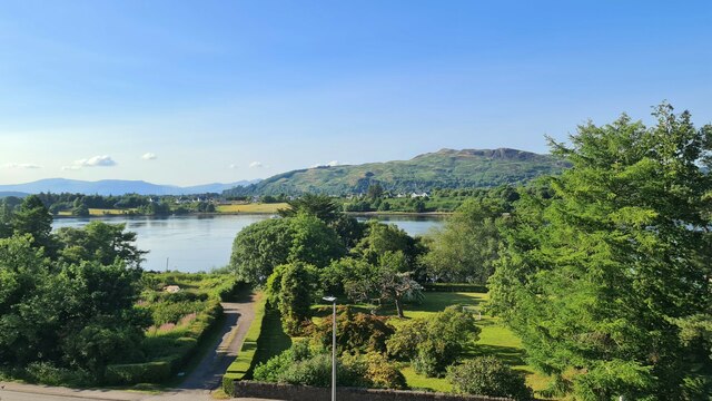
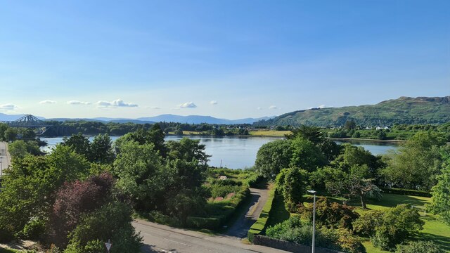
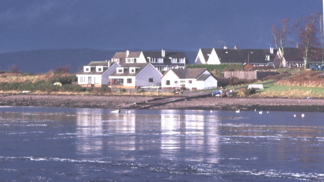
Achaleven is a small, picturesque village located in the county of Argyllshire, Scotland. Situated on the west coast of Scotland, it is nestled between the villages of Connel and Benderloch. With a population of around 200 residents, Achaleven offers a tranquil and close-knit community atmosphere.
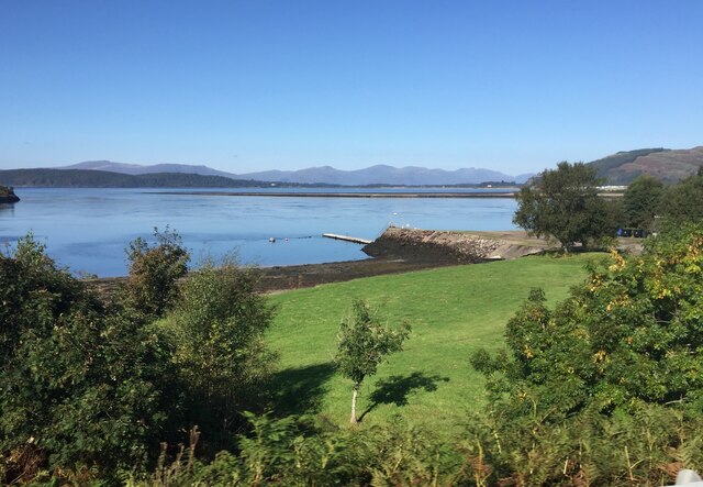
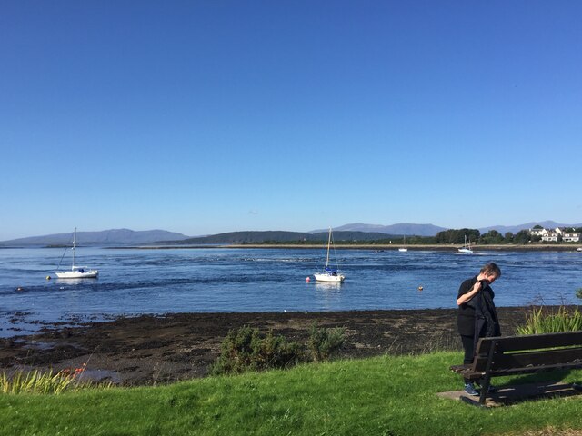
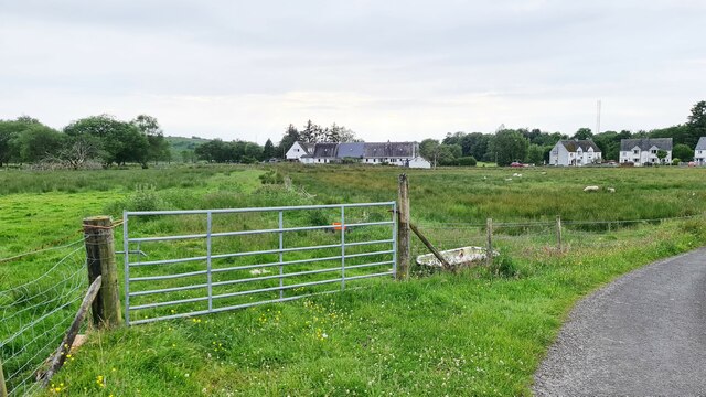
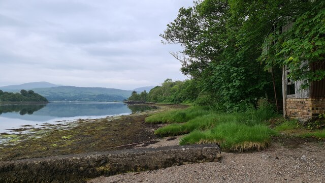
The village is renowned for its stunning natural beauty and breathtaking landscapes. Surrounded by rolling hills, verdant meadows, and the sparkling waters of Loch Etive, Achaleven provides a haven for outdoor enthusiasts and nature lovers. The nearby Ben Cruachan mountain range offers hiking and climbing opportunities, while Loch Etive is perfect for fishing, boating, and wildlife spotting.
Achaleven is also home to several historical landmarks, adding to its charm and character. The Achaleven Castle, a 16th-century tower house, stands proudly as a reminder of the area's rich history. The castle offers a glimpse into the past and is a popular attraction for visitors.
Despite its small size, Achaleven boasts a strong sense of community spirit. The village has a local primary school, a village hall, and a thriving community center that hosts various events and activities throughout the year. The residents take pride in maintaining the village's beauty and preserving its heritage.
Achaleven is a peaceful and idyllic place to live or visit, offering a unique blend of natural wonders and historical significance. Its stunning surroundings and welcoming community make it a hidden gem in the heart of Argyllshire.
If you have any feedback on the listing, please let us know in the comments section below.
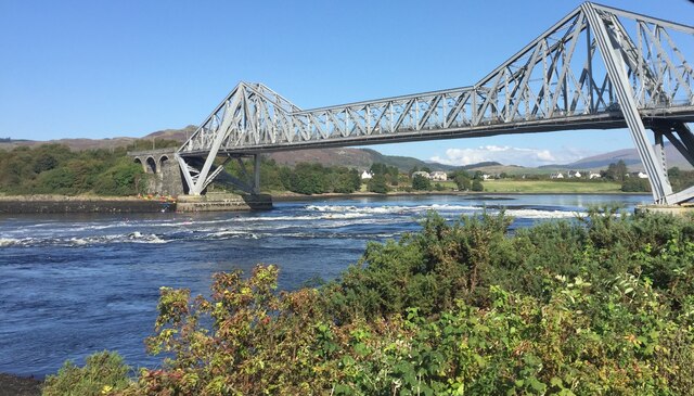
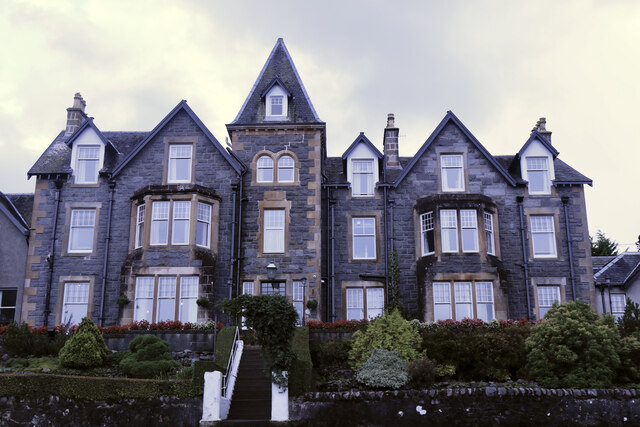
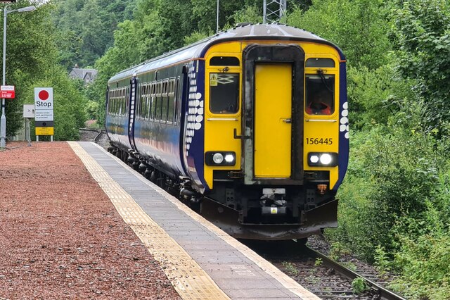
Achaleven Images
Images are sourced within 2km of 56.442727/-5.3922124 or Grid Reference NM9133. Thanks to Geograph Open Source API. All images are credited.


Achaleven is located at Grid Ref: NM9133 (Lat: 56.442727, Lng: -5.3922124)
Unitary Authority: Argyll and Bute
Police Authority: Argyll and West Dunbartonshire
What 3 Words
///limped.ordeals.scored. Near Oban, Argyll & Bute
Nearby Locations
Related Wikis

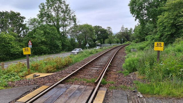
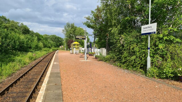
Connel Ferry railway station
Connel Ferry railway station is a railway station serving the village of Connel in western Scotland. This station is on the Oban branch of the West Highland...
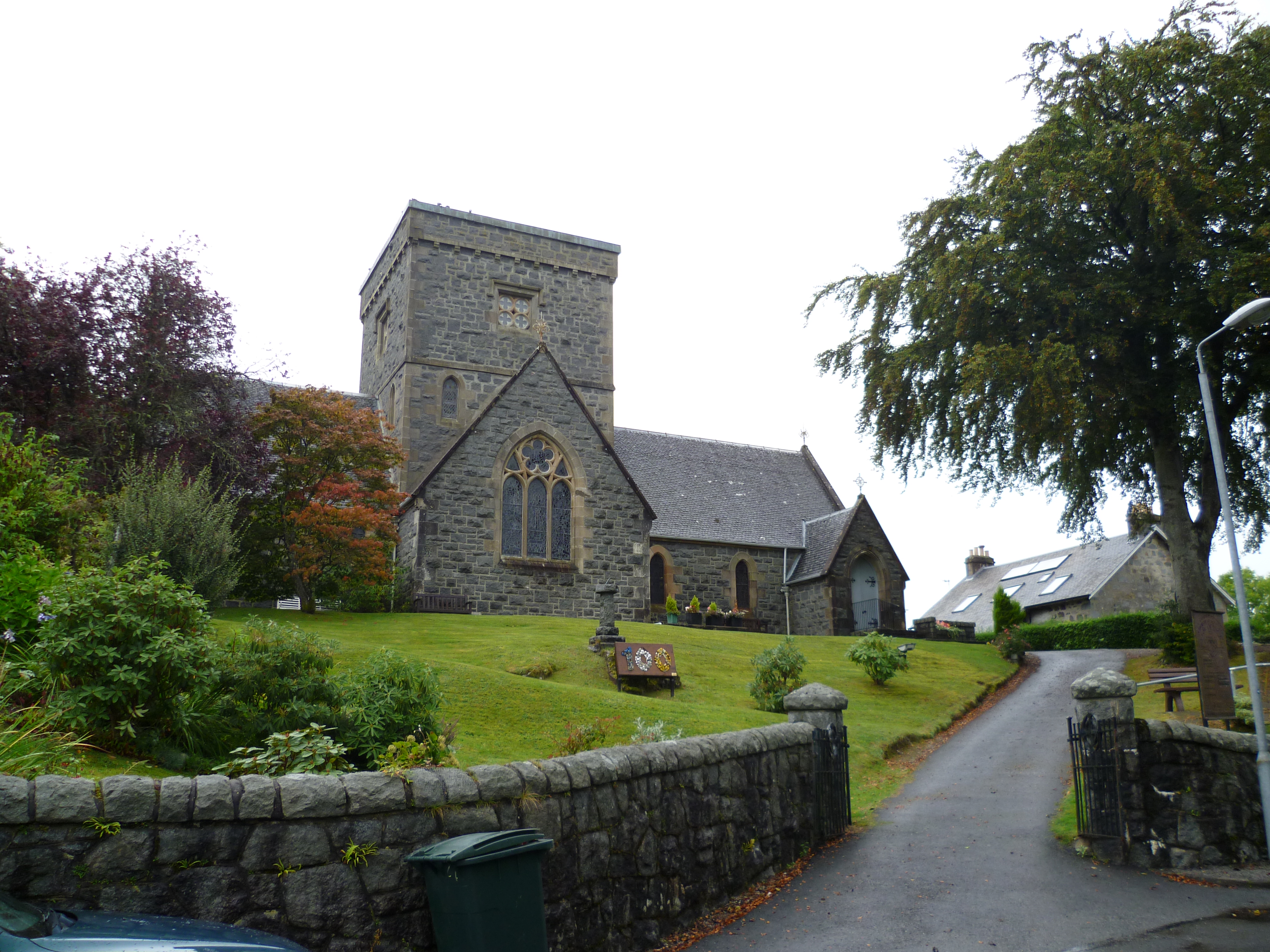
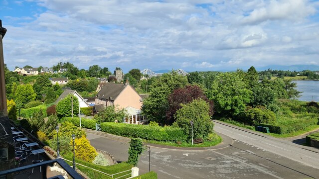
Connel
Connel (Gaelic: A' Choingheal) is a village in Argyll and Bute, Scotland. It is situated on the southern shore of Loch Etive. The Lusragan Burn flows through...

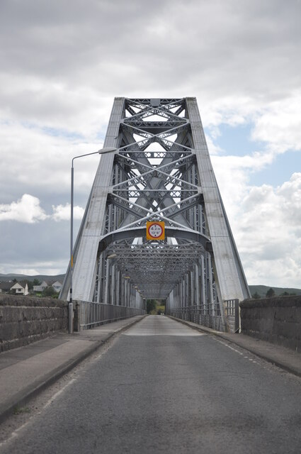
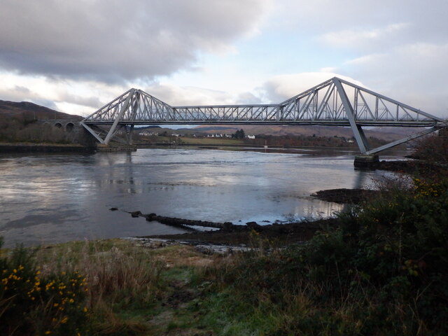
Connel Bridge
Connel Bridge is a cantilever bridge that spans Loch Etive at Connel in Scotland. The bridge takes the A828 road across the narrowest part of the loch...

Falls of Lora
The Falls of Lora is a tidal race which forms at the mouth of Loch Etive when a particularly high tide runs out from the loch. They form white water rapids...

North Connel railway station
North Connel was a railway station located in North Connel, Argyll and Bute, on the north shore of Loch Etive. Its location was at the north end of Connel...
North Connel
North Connel is a hamlet on the north side of Loch Etive in Argyll and Bute, Scotland. Connel Bridge connects the community to Connel on the south shore...

Oban Airport
Oban Airport (Scottish Gaelic: Port-adhair an Òbain) (IATA: OBN, ICAO: EGEO) is located 5 nautical miles (9.3 km; 5.8 mi) northeast of Oban, near the village...

Scottish Association for Marine Science
The Scottish Association for Marine Science (SAMS) is one of Europe's leading marine science research organisations, one of the oldest oceanographic organisations...
Nearby Amenities
Located within 500m of 56.442727,-5.3922124Have you been to Achaleven?
Leave your review of Achaleven below (or comments, questions and feedback).