Bassett Green
Settlement in Hampshire
England
Bassett Green

Bassett Green is a small village located in the county of Hampshire, England. Situated approximately 3 miles north of Southampton city center, it falls within the administrative boundaries of the City of Southampton.
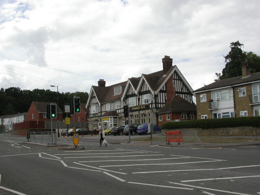
The village is primarily residential, made up of a mix of housing types, including detached and semi-detached houses, as well as some apartment buildings. The architecture is diverse, with a combination of modern and older properties. Bassett Green is known for its quiet and peaceful atmosphere, making it an attractive place for families and professionals looking for a suburban setting.
The village benefits from being close to a range of amenities and facilities. There are several primary and secondary schools in the area, catering to the educational needs of the local community. Additionally, there are shops, supermarkets, and restaurants within convenient reach.
For outdoor enthusiasts, Bassett Green offers easy access to natural green spaces. The nearby Southampton Common, a large urban park, provides opportunities for leisurely walks, picnics, and sports activities. The village is also close to the New Forest National Park, a beautiful area of woodland, heathland, and picturesque villages, perfect for hiking, cycling, and wildlife spotting.
Transport links in Bassett Green are well-developed, with regular bus services connecting the village to Southampton city center and other nearby towns. The M3 motorway is easily accessible, providing convenient road connections to London and other major cities. Southampton Airport is also within a short distance, offering domestic and international flights.
If you have any feedback on the listing, please let us know in the comments section below.
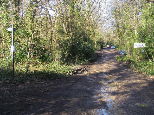
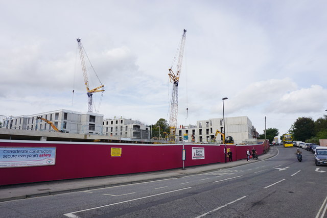
Bassett Green Images
Images are sourced within 2km of 50.945003/-1.403552 or Grid Reference SU4216. Thanks to Geograph Open Source API. All images are credited.


Bassett Green is located at Grid Ref: SU4216 (Lat: 50.945003, Lng: -1.403552)
Unitary Authority: Southampton
Police Authority: Hampshire
What 3 Words
///grit.into.marked. Near Eastleigh, Hampshire
Nearby Locations
Related Wikis
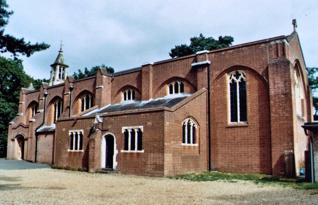
St Michael and All Angels Church, Bassett
St. Michael and All Angels Church, in Bassett, Southampton, is an Anglican parish church which dates from the late 19th century. == Location == The church...
Cantell School
Cantell School is a secondary comprehensive school in Bassett, Southampton. In 2013, Ofsted judged Cantell to be a 'Good' school. == History == The school...
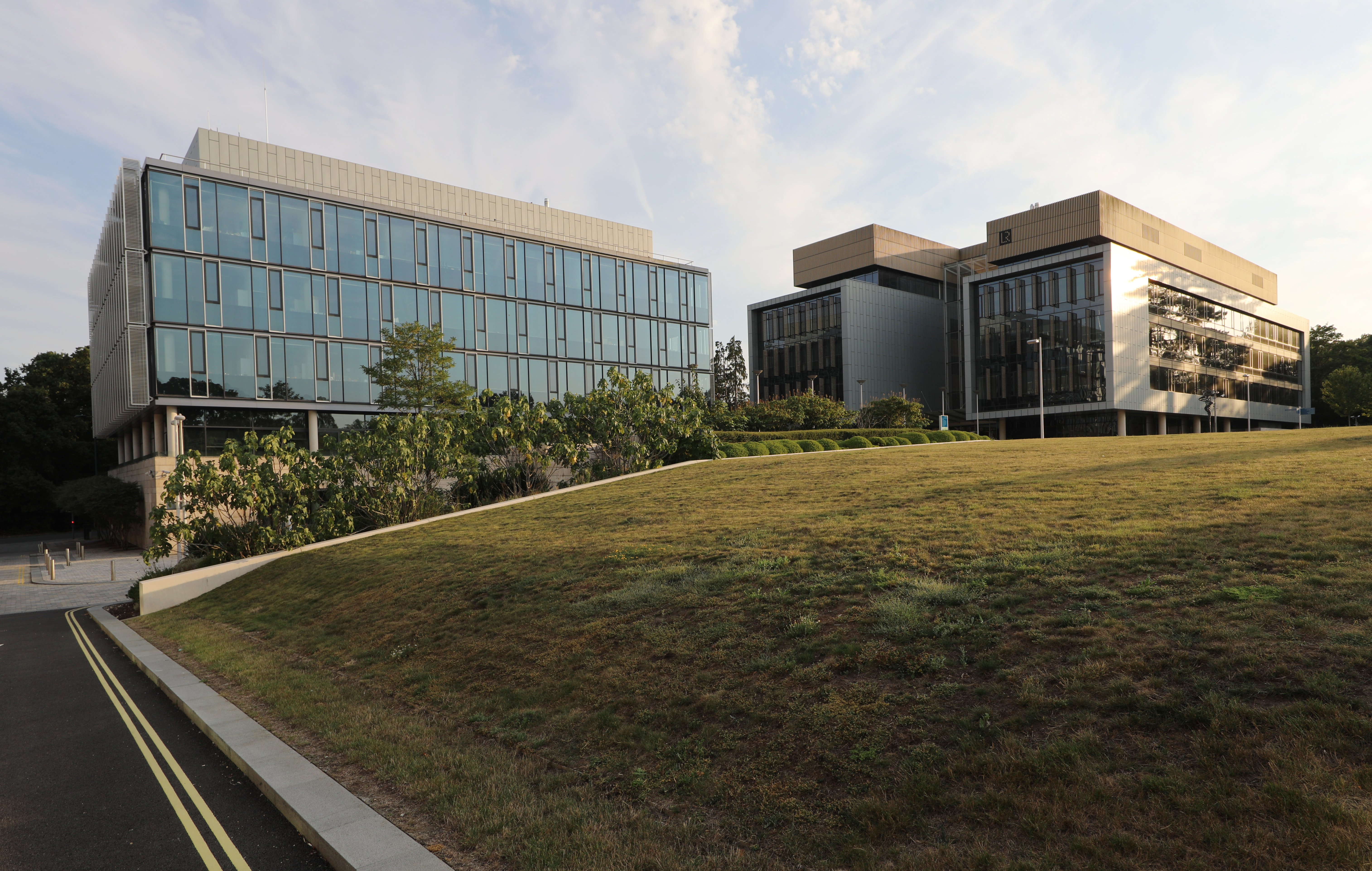
Boldrewood Innovation Campus
Boldrewood Innovation Campus is one of the University of Southampton’s campuses, located in Bassett, Southampton. The newly built campus is a centre where...

Chilworth Ring
Chilworth Ring is the site of a small univallate Iron Age hillfort located in Hampshire. Partial excavations of the site were carried out in 1928. The...
Southampton Municipal Golf Course
Southampton Municipal Golf Course is a 27-hole golf course in Southampton, England. The par 70, 6174yd, 18-hole course is set in mature parkland. It is...
Bassett Green
Bassett Green is a suburb of Southampton, which has grown from the original small village of Basset. It remains part of the electoral ward of Bassett...
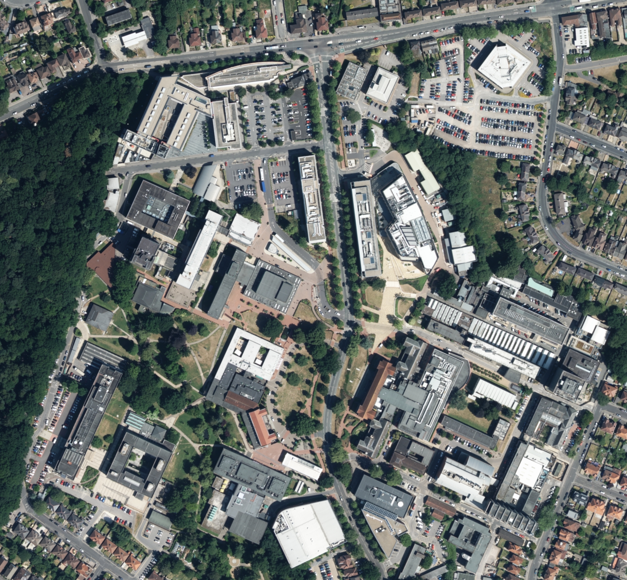
Highfield Campus
Highfield Campus is the main campus of the University of Southampton and is located in Southampton, southern England. It is the largest of the university...

R J Mitchell Wind Tunnel
The R. J. Mitchell Wind Tunnel is a low-speed wind tunnel which is part of the Faculty of Engineering and the Environment at the University of Southampton...
Nearby Amenities
Located within 500m of 50.945003,-1.403552Have you been to Bassett Green?
Leave your review of Bassett Green below (or comments, questions and feedback).