Bassett Wood
Wood, Forest in Hampshire
England
Bassett Wood

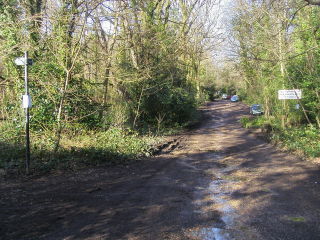
Bassett Wood is a picturesque woodland located in Hampshire, England. Covering an area of approximately 100 acres, it is a popular destination for nature enthusiasts, hikers, and wildlife lovers. The wood is situated near the village of Bassett, which is known for its tranquil surroundings and natural beauty.
Bassett Wood is predominantly made up of a mix of broadleaf trees, including oak, beech, and birch. The dense canopy provides a cool and sheltered environment, making it a perfect escape from the hustle and bustle of everyday life. The forest floor is carpeted with a variety of plants, such as bluebells and ferns, adding to the enchanting atmosphere.
The wood is crisscrossed by a network of well-maintained footpaths, allowing visitors to explore its wonders at their own pace. As they wander through the wood, visitors may encounter an array of wildlife, including deer, squirrels, and various bird species. The peaceful setting also makes it an excellent spot for birdwatching and photography.
In addition to its natural beauty, Bassett Wood offers recreational amenities for visitors, including picnic areas and benches where visitors can relax and enjoy the serene surroundings. The wood is also a popular spot for educational visits, with schools often bringing students to learn about the local ecosystem and biodiversity.
Overall, Bassett Wood is a hidden gem in Hampshire, providing a tranquil and picturesque setting for visitors to immerse themselves in nature and appreciate the beauty of the British countryside.
If you have any feedback on the listing, please let us know in the comments section below.
Bassett Wood Images
Images are sourced within 2km of 50.945784/-1.3981679 or Grid Reference SU4216. Thanks to Geograph Open Source API. All images are credited.


Bassett Wood is located at Grid Ref: SU4216 (Lat: 50.945784, Lng: -1.3981679)
Unitary Authority: Southampton
Police Authority: Hampshire
What 3 Words
///tour.fever.translated. Near Eastleigh, Hampshire
Nearby Locations
Related Wikis
Cantell School
Cantell School is a secondary comprehensive school in Bassett, Southampton. In 2013, Ofsted judged Cantell to be a 'Good' school. == History == The school...
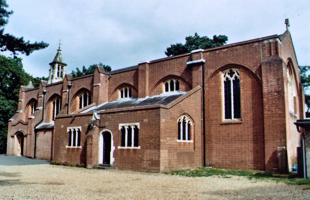
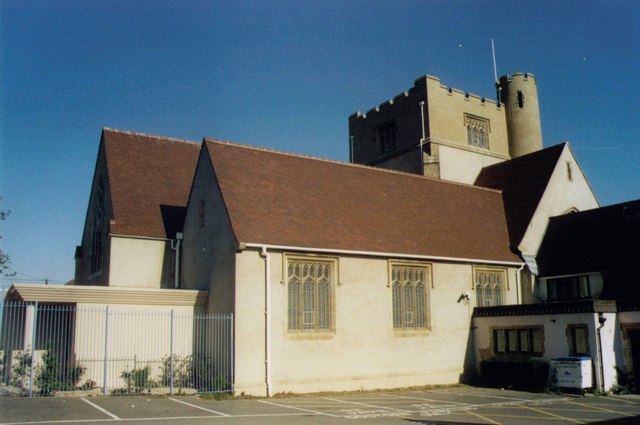
St Michael and All Angels Church, Bassett
St. Michael and All Angels Church, in Bassett, Southampton, is an Anglican parish church which dates from the late 19th century. == Location == The church...
Bassett Green
Bassett Green is a suburb of Southampton, which has grown from the original small village of Basset. It remains part of the electoral ward of Bassett...
St Alban's Church, Southampton
St. Alban's Church, Swaythling, Southampton, stands on Tulip Road, just off the main Burgess Road. The church, and its associated hall, is a Grade II...
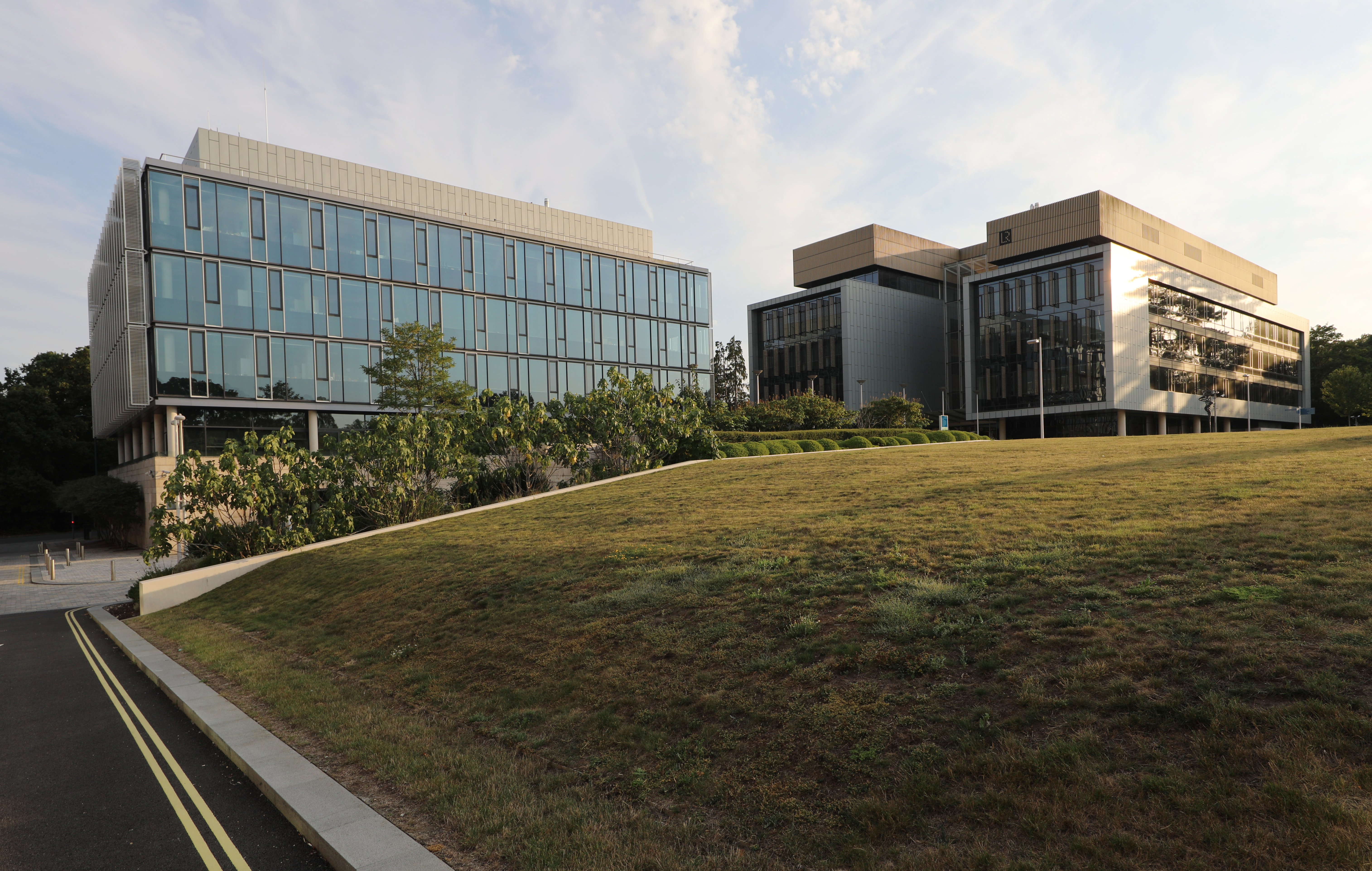
Boldrewood Innovation Campus
Boldrewood Innovation Campus is one of the University of Southampton’s campuses, located in Bassett, Southampton. The newly built campus is a centre where...

R J Mitchell Wind Tunnel
The R. J. Mitchell Wind Tunnel is a low-speed wind tunnel which is part of the Faculty of Engineering and the Environment at the University of Southampton...
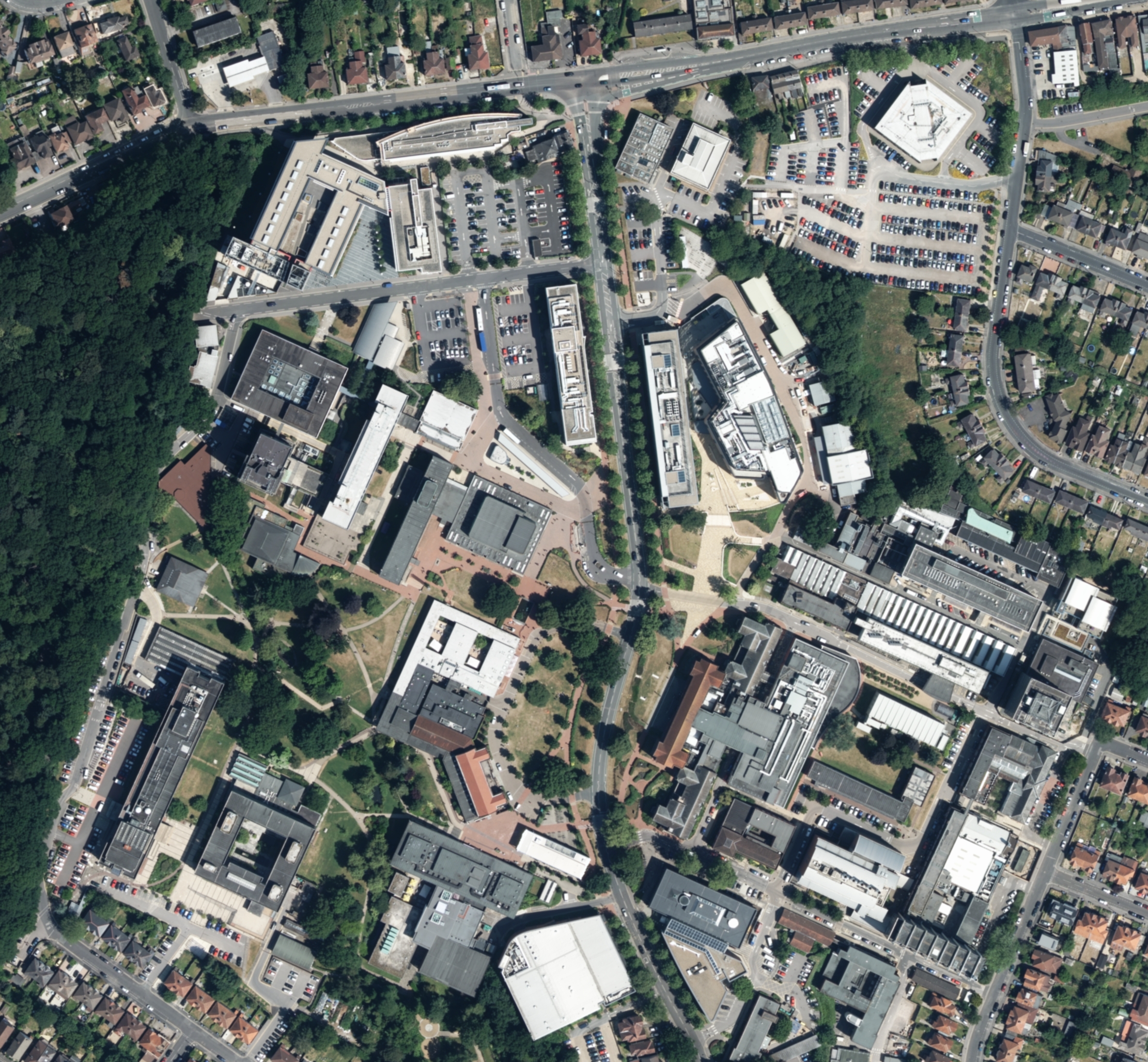
Highfield Campus
Highfield Campus is the main campus of the University of Southampton and is located in Southampton, southern England. It is the largest of the university...

Saint George Catholic College
Saint George Catholic VA College (formerly known as St George Catholic School for Girls & Boys) is a Catholic voluntary aided comprehensive secondary school...
Nearby Amenities
Located within 500m of 50.945784,-1.3981679Have you been to Bassett Wood?
Leave your review of Bassett Wood below (or comments, questions and feedback).