Bassett
Settlement in Hampshire
England
Bassett

Bassett is a charming village located in the county of Hampshire, England. Situated approximately four miles west of Southampton city center, it is primarily a residential area with a population of around 6,000 people. The village is known for its peaceful atmosphere, picturesque surroundings, and close proximity to various amenities.
Bassett is home to a diverse range of housing, including detached houses, semi-detached properties, and modern apartments. Many of these properties are set within well-maintained gardens, adding to the village's aesthetic appeal. The area also boasts a number of green spaces, such as Bassett Green Village Green, which provides residents with ample opportunities for outdoor activities and leisurely walks.
In terms of amenities, Bassett offers a range of local shops, including convenience stores, boutiques, and a few restaurants. Additionally, the village is conveniently located near larger retail centers, such as the popular WestQuay Shopping Centre in Southampton.
Bassett is well-connected to nearby areas through various transport links. The village benefits from frequent bus services, allowing for easy access to Southampton city center and other neighboring towns. For those traveling by car, the M27 motorway is easily accessible, providing connections to other major cities in the region.
Education in Bassett is of a high standard, with several primary and secondary schools located within the village and surrounding areas. The University of Southampton, a prestigious institution, is also nearby, making Bassett an attractive place for families and students alike.
Overall, Bassett offers a peaceful and scenic setting, combined with convenient access to amenities and transportation links, making it a desirable place to live in Hampshire.
If you have any feedback on the listing, please let us know in the comments section below.
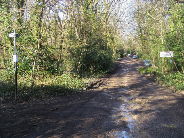
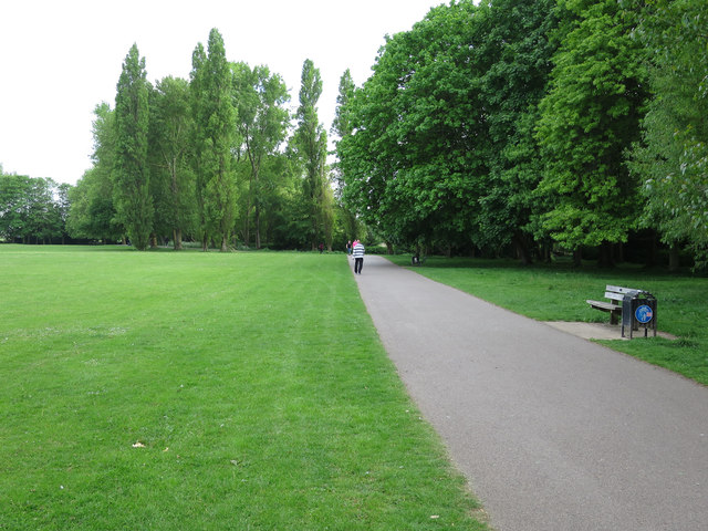
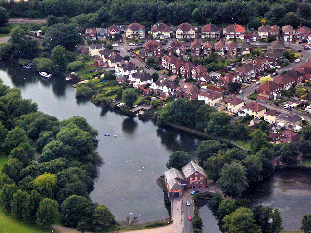
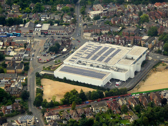
Bassett Images
Images are sourced within 2km of 50.942924/-1.401443 or Grid Reference SU4216. Thanks to Geograph Open Source API. All images are credited.


Bassett is located at Grid Ref: SU4216 (Lat: 50.942924, Lng: -1.401443)
Unitary Authority: Southampton
Police Authority: Hampshire
What 3 Words
///taped.themes.goal. Near Southampton, Hampshire
Nearby Locations
Related Wikis
Cantell School
Cantell School is a secondary comprehensive school in Bassett, Southampton. In 2013, Ofsted judged Cantell to be a 'Good' school. == History == The school...
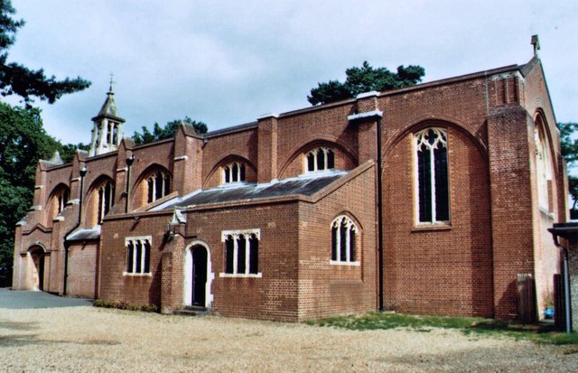
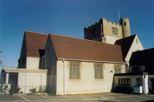
St Michael and All Angels Church, Bassett
St. Michael and All Angels Church, in Bassett, Southampton, is an Anglican parish church which dates from the late 19th century. == Location == The church...
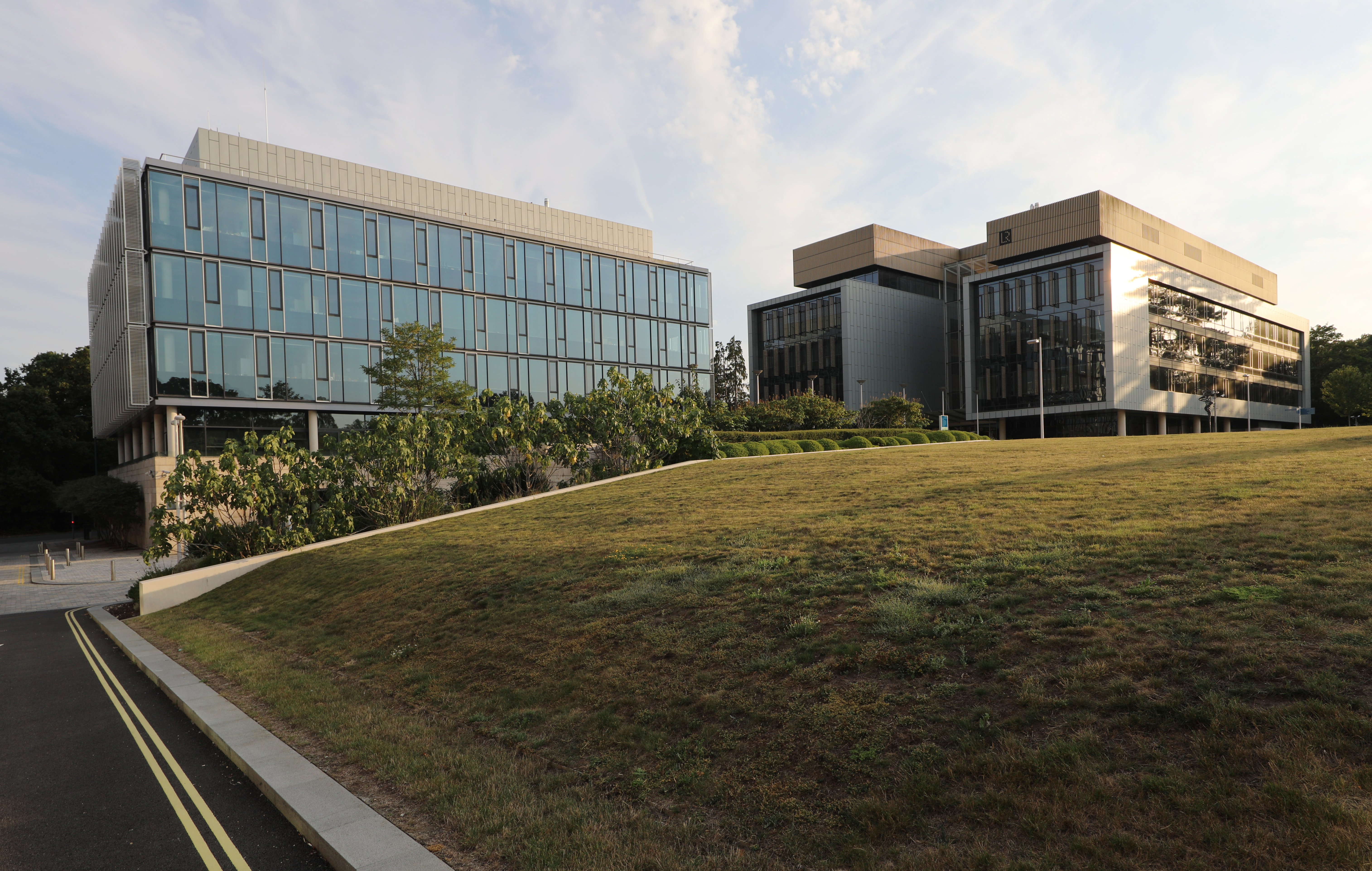
Boldrewood Innovation Campus
Boldrewood Innovation Campus is one of the University of Southampton’s campuses, located in Bassett, Southampton. The newly built campus is a centre where...
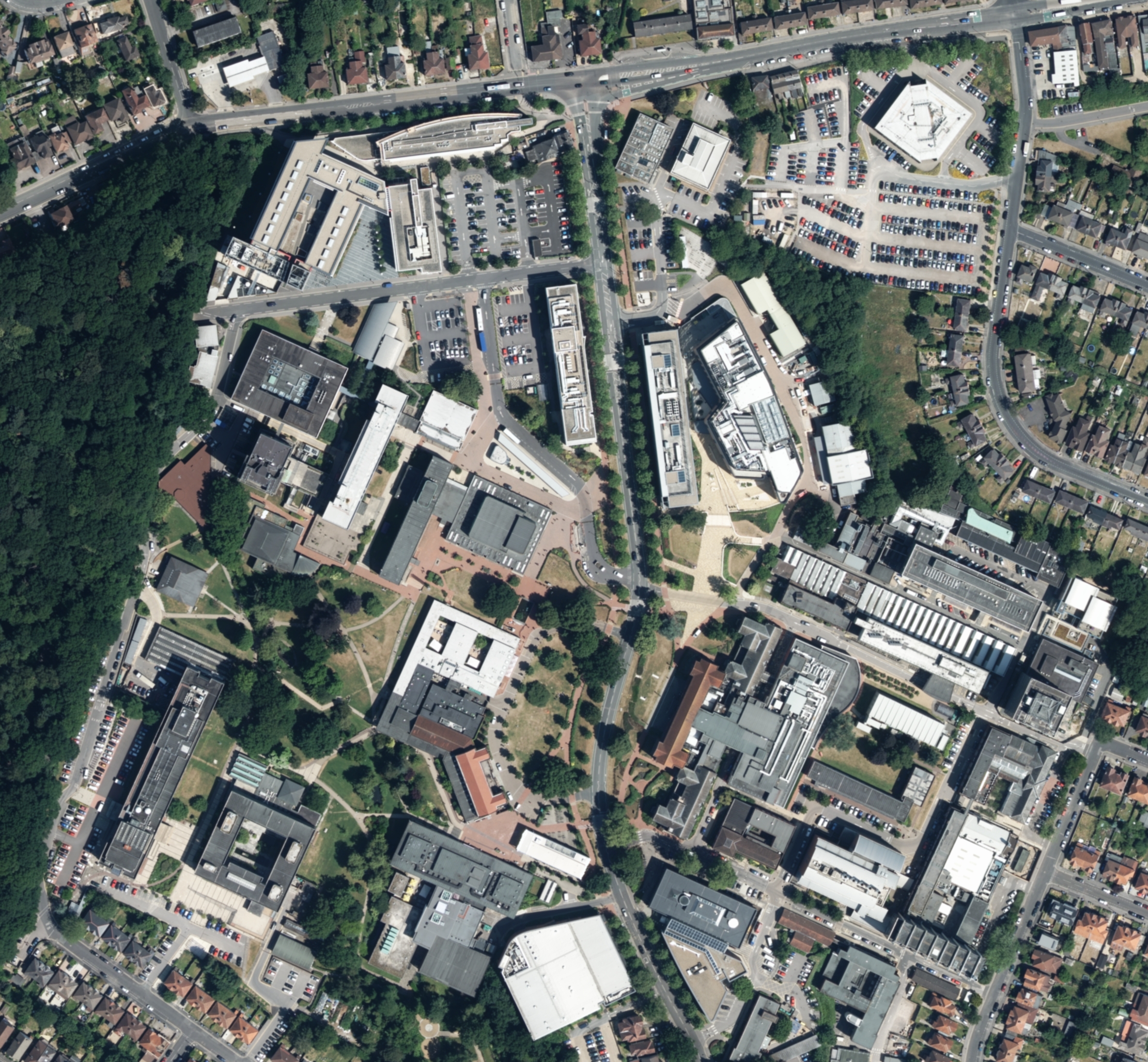
Highfield Campus
Highfield Campus is the main campus of the University of Southampton and is located in Southampton, southern England. It is the largest of the university...
Bassett Green
Bassett Green is a suburb of Southampton, which has grown from the original small village of Basset. It remains part of the electoral ward of Bassett...

R J Mitchell Wind Tunnel
The R. J. Mitchell Wind Tunnel is a low-speed wind tunnel which is part of the Faculty of Engineering and the Environment at the University of Southampton...

University of Southampton
The University of Southampton (abbreviated as Soton in post-nominal letters) is a public research university in Southampton, England. Southampton is a...
St Alban's Church, Southampton
St. Alban's Church, Swaythling, Southampton, stands on Tulip Road, just off the main Burgess Road. The church, and its associated hall, is a Grade II...
Nearby Amenities
Located within 500m of 50.942924,-1.401443Have you been to Bassett?
Leave your review of Bassett below (or comments, questions and feedback).