Porth Minick
Bay in Cornwall
England
Porth Minick

Porth Minick is a picturesque bay located on the southern coast of Cornwall, England. Nestled between the popular tourist destinations of Penzance and Newlyn, this small but charming bay offers visitors a peaceful and idyllic escape from the bustling city life.
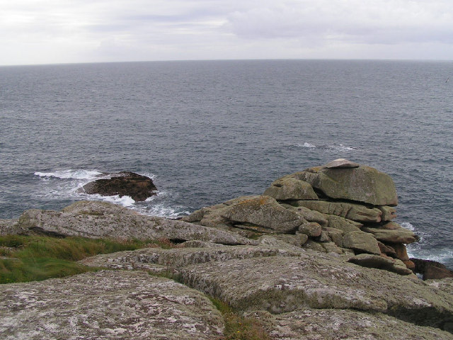
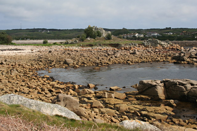
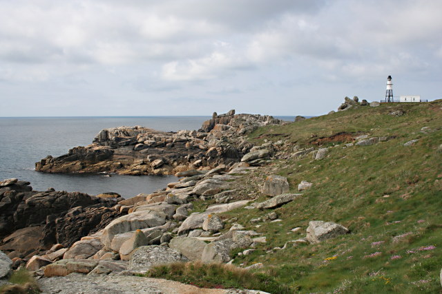
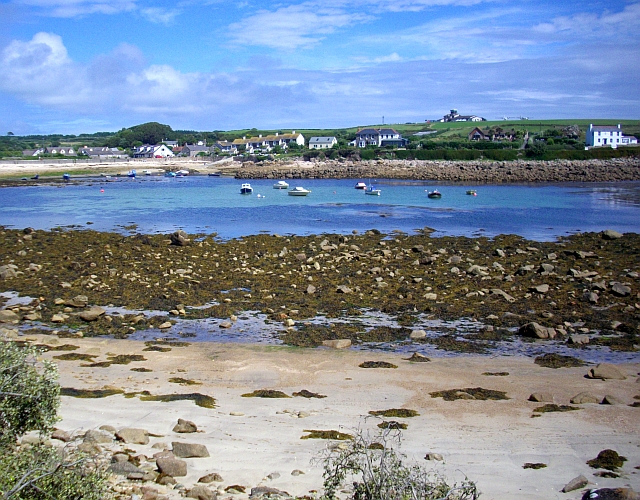
The bay is known for its stunning sandy beach, which stretches for approximately 200 meters and is surrounded by rugged cliffs on either side. The crystal-clear turquoise waters of the bay are perfect for swimming, paddleboarding, and other water activities. At low tide, visitors can explore rock pools teeming with marine life, making it a favorite spot for families and nature enthusiasts.
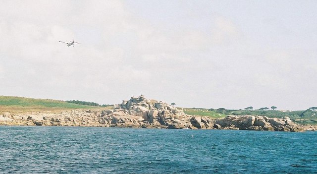
Surrounded by natural beauty, Porth Minick offers breathtaking views of Mount's Bay, with St. Michael's Mount, a famous tidal island, visible in the distance. The bay is also known for its vibrant sunsets, where the sky bursts into hues of orange and pink, creating a truly magical ambiance.
There are several amenities available at Porth Minick, including a small café serving delicious local treats and a nearby car park for convenience. The bay is easily accessible by public transportation, with regular bus services from Penzance and other nearby towns.
Overall, Porth Minick is a hidden gem in Cornwall, offering visitors a serene and unspoiled coastal experience. Whether you're looking to relax on the beach, explore the rocky shoreline, or simply enjoy the stunning scenery, Porth Minick is a must-visit destination for nature lovers and beach enthusiasts alike.
If you have any feedback on the listing, please let us know in the comments section below.
Porth Minick Images
Images are sourced within 2km of 49.910245/-6.2962186 or Grid Reference SV9109. Thanks to Geograph Open Source API. All images are credited.


Porth Minick is located at Grid Ref: SV9109 (Lat: 49.910245, Lng: -6.2962186)
Division: Isles of Scilly
Unitary Authority: Isles of Scilly
Police Authority: Devon and Cornwall
What 3 Words
///paraded.unloaded.chat. Near St Mary's, Isles of Scilly
Nearby Locations
Related Wikis
Old Town, Isles of Scilly
Old Town (Cornish: Treveglos "church town") is a village on St Mary's in the Isles of Scilly located southeast of Hugh Town. It is thought to be the oldest...

St Mary's Airport, Isles of Scilly
St Mary's Airport or Isles of Scilly Airport (IATA: ISC, ICAO: EGHE) is an airport located 1 nautical mile (1.9 km; 1.2 mi) east of Hugh Town on St Mary...

St Mary's Old Church, St Mary's
St Mary's Old Church, St Mary's is a parish church in the Church of England located in Old Town on St Mary's, Isles of Scilly, Cornwall, United Kingdom...
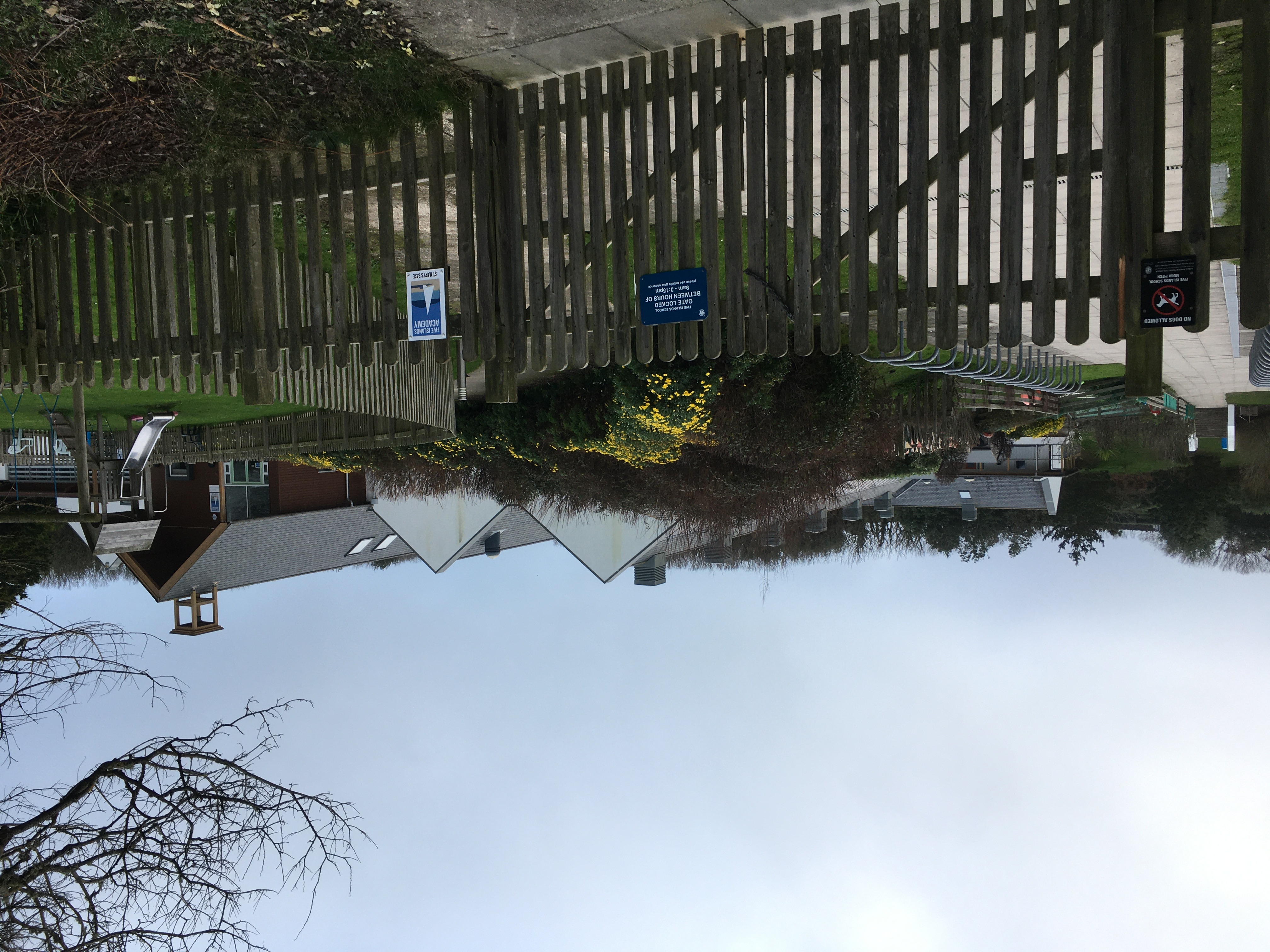
Five Islands Academy
Five Islands Academy, formerly Five Islands School, is the first federated school in the United Kingdom, providing primary and secondary education for...
Nearby Amenities
Located within 500m of 49.910245,-6.2962186Have you been to Porth Minick?
Leave your review of Porth Minick below (or comments, questions and feedback).