Carrickstarne
Island in Cornwall
England
Carrickstarne

Carrickstarne is a small island located off the coast of Cornwall, England. Situated in the Atlantic Ocean, it is a part of the Isles of Scilly archipelago. With a total area of approximately 0.5 square kilometers, Carrickstarne is one of the smaller islands in the group.
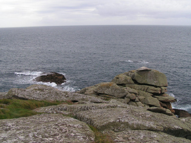
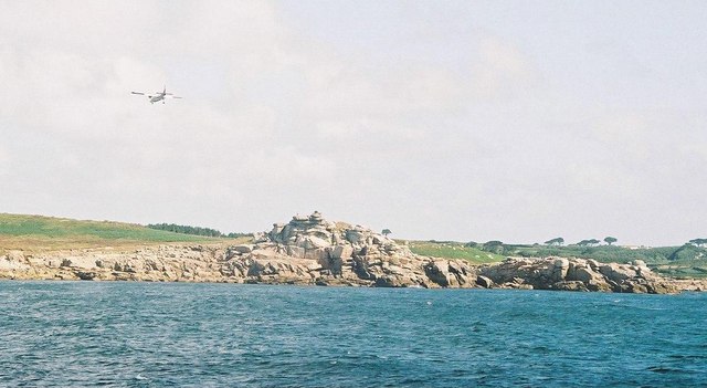
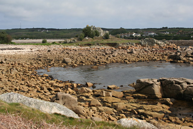
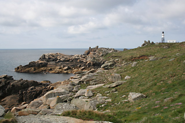
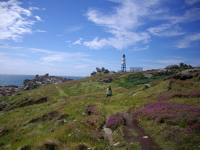
The island is characterized by its rugged and rocky terrain, surrounded by crystal clear turquoise waters. It boasts stunning natural beauty, with picturesque cliffs and breathtaking views of the surrounding sea. The island is home to a variety of bird species, making it a popular destination for birdwatchers.
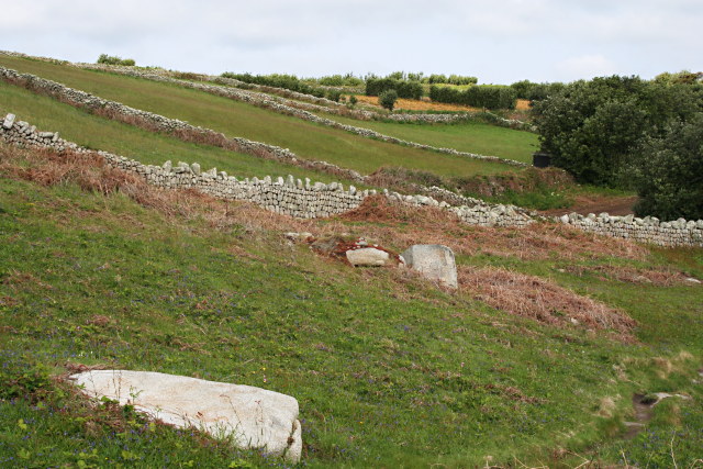
Carrickstarne has a rich history, with evidence of human habitation dating back to prehistoric times. It has been a site of archaeological interest, with remnants of ancient settlements and burial sites found on the island. In medieval times, Carrickstarne served as a defensive outpost against potential invaders.
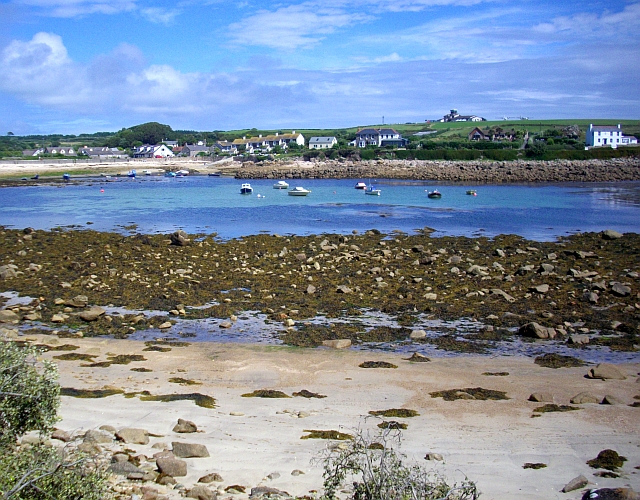
Today, the island remains uninhabited, making it a secluded and tranquil destination for visitors. It is accessible by boat from the main island of St. Mary's, with regular ferry services available. Carrickstarne offers opportunities for hiking, exploring the rugged coastline, and enjoying the peaceful surroundings. Visitors can also indulge in snorkeling or diving to discover the underwater wonders of the area.
Overall, Carrickstarne is a hidden gem in Cornwall, offering a unique blend of natural beauty, historical significance, and a peaceful retreat for nature enthusiasts and adventure seekers alike.
If you have any feedback on the listing, please let us know in the comments section below.
Carrickstarne Images
Images are sourced within 2km of 49.904637/-6.2989518 or Grid Reference SV9109. Thanks to Geograph Open Source API. All images are credited.


Carrickstarne is located at Grid Ref: SV9109 (Lat: 49.904637, Lng: -6.2989518)
Division: Isles of Scilly
Unitary Authority: Isles of Scilly
Police Authority: Devon and Cornwall
What 3 Words
///promoting.group.ballooned. Near St Mary's, Isles of Scilly
Nearby Locations
Related Wikis
Peninnis Head
Peninnis Head (Cornish: Penn Enys, meaning Island Head) is the southernmost point of St Mary's, Isles of Scilly. The headland is within the Isles of Scilly...

Peninnis Lighthouse
Peninnis Lighthouse is situated on Peninnis Head, St Mary's, Isles of Scilly. == History == The light was built to replace the lighthouse in the centre...

Minnehaha (cargo ship)
The Minnehaha was a barque built in 1857 and wrecked on 18 January 1874 in the Isles of Scilly. == Wreck == On 18 January 1874, while travelling from...

St Mary's Old Church, St Mary's
St Mary's Old Church, St Mary's is a parish church in the Church of England located in Old Town on St Mary's, Isles of Scilly, Cornwall, United Kingdom...
Old Town, Isles of Scilly
Old Town (Cornish: Treveglos "church town") is a village on St Mary's in the Isles of Scilly located southeast of Hugh Town. It is thought to be the oldest...
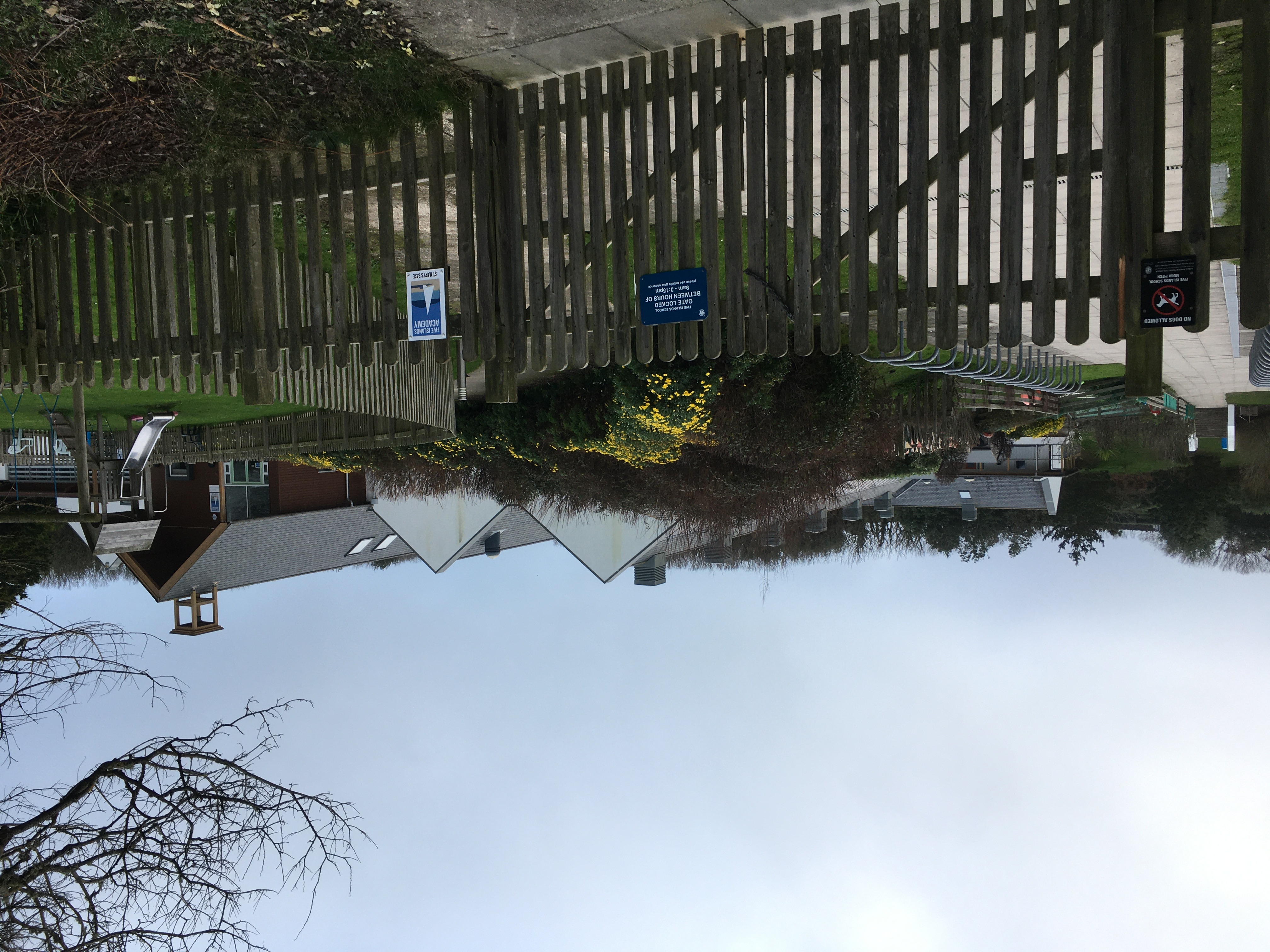
Five Islands Academy
Five Islands Academy, formerly Five Islands School, is the first federated school in the United Kingdom, providing primary and secondary education for...

St Mary's Airport, Isles of Scilly
St Mary's Airport or Isles of Scilly Airport (IATA: ISC, ICAO: EGHE) is an airport located 1 nautical mile (1.9 km; 1.2 mi) east of Hugh Town on St Mary...

Giant's Castle, Isles of Scilly
The Giant's Castle is a promontory fort of the Iron Age, on St Mary's, Isles of Scilly, England. It is a scheduled monument. == Description == The fort...
Nearby Amenities
Located within 500m of 49.904637,-6.2989518Have you been to Carrickstarne?
Leave your review of Carrickstarne below (or comments, questions and feedback).