Eilean Leireabhagh
Island in Inverness-shire
Scotland
Eilean Leireabhagh
Eilean Leireabhagh is a small island located in the Inner Hebrides of Scotland, specifically in the Inverness-shire region. Also known as the Isle of Lewis, it is famous for its stunning natural beauty and historical significance. The island spans an area of approximately 683 square miles, making it one of the largest islands in Scotland.
The landscape of Eilean Leireabhagh is characterized by rugged coastlines, rolling hills, and vast moorlands. The island is home to numerous lochs, including Loch Seaforth, which is the fifth largest freshwater loch in Scotland. Its diverse ecosystem supports a wide range of flora and fauna, making it a popular destination for nature enthusiasts and birdwatchers.
Historically, Eilean Leireabhagh has been inhabited for thousands of years. It is known for its rich archaeological sites, including the famous Callanish Stones, a collection of standing stones dating back to the Neolithic period. These ancient structures have drawn visitors from across the globe, offering a glimpse into the island's prehistoric past.
In terms of culture, Eilean Leireabhagh is predominantly Gaelic-speaking, with a strong tradition of music, storytelling, and crafts. The island is renowned for its traditional Scottish music, with the bagpipes and fiddle being prominent instruments. The annual Hebridean Celtic Festival held on the island showcases the vibrant music and culture of the region.
Access to Eilean Leireabhagh is primarily via ferry services from the mainland. Once on the island, visitors can explore the picturesque villages, visit historic sites, enjoy outdoor activities such as hiking and fishing, or simply immerse themselves in the tranquility of this remote and captivating island.
If you have any feedback on the listing, please let us know in the comments section below.
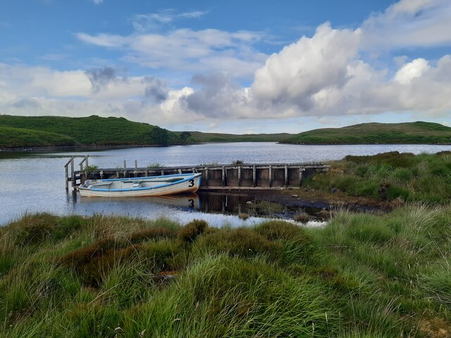
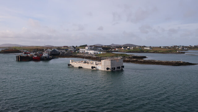
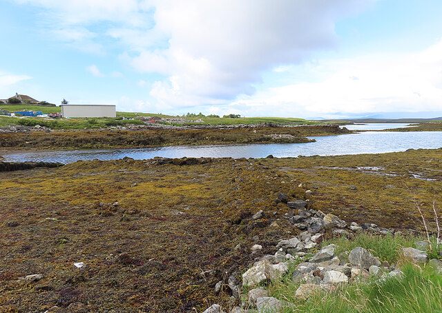
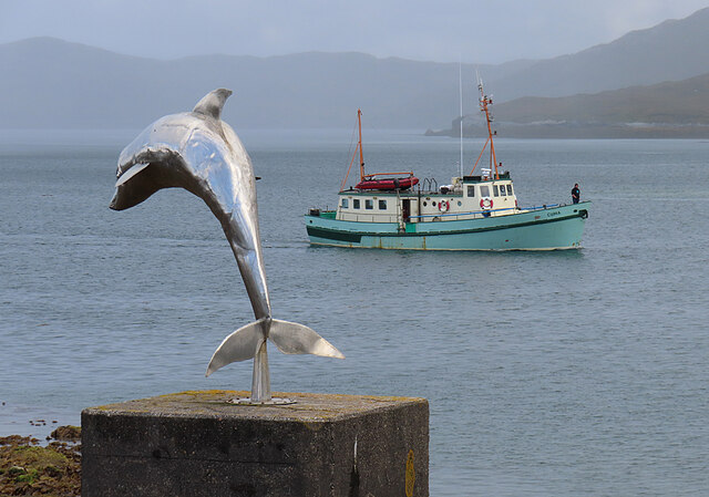
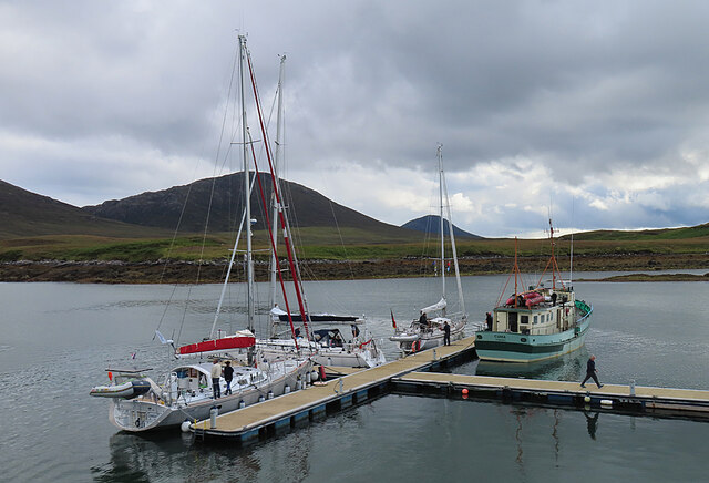
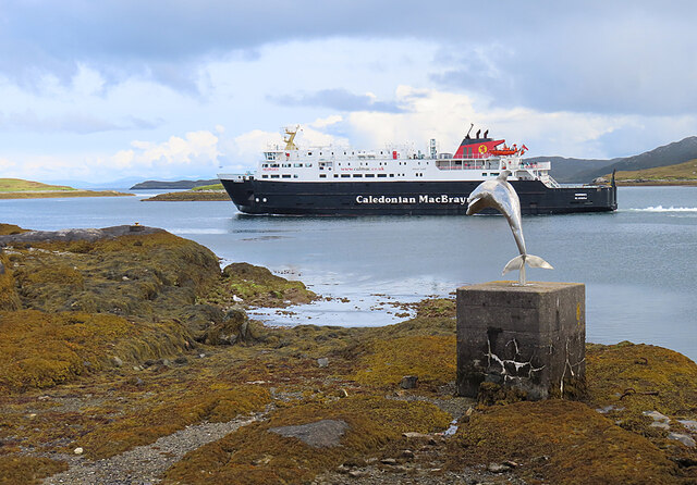
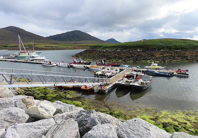
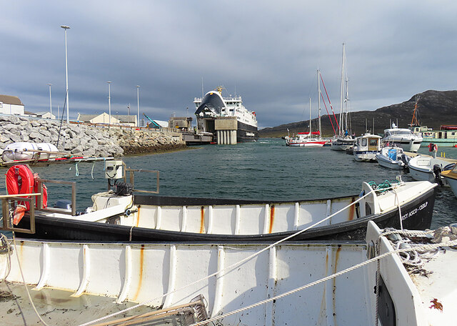
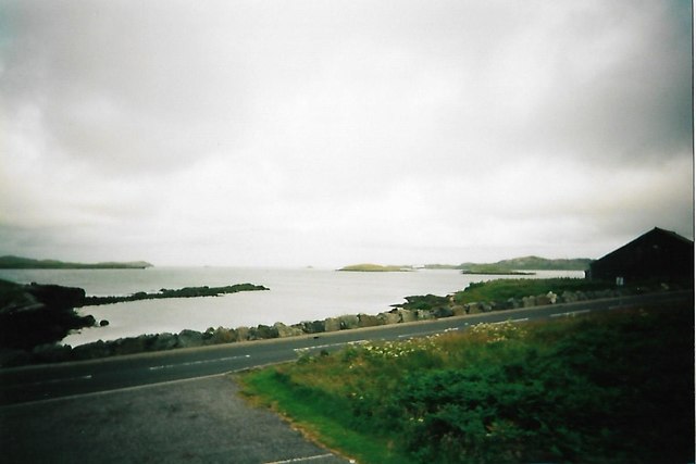
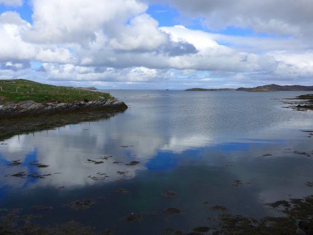
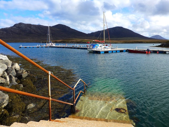
Eilean Leireabhagh Images
Images are sourced within 2km of 57.595213/-7.1664858 or Grid Reference NF9167. Thanks to Geograph Open Source API. All images are credited.


Eilean Leireabhagh is located at Grid Ref: NF9167 (Lat: 57.595213, Lng: -7.1664858)
Unitary Authority: Na h-Eileanan an Iar
Police Authority: Highlands and Islands
What 3 Words
///ropes.september.chatted. Near Lochmaddy, Na h-Eileanan Siar
Nearby Locations
Related Wikis

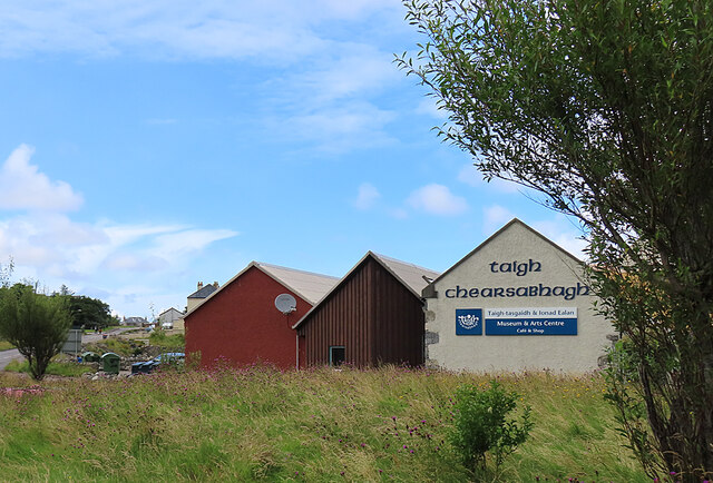
Taigh Chearsabhagh
Taigh Chearsabhagh is an arts centre and museum in Lochmaddy on the island of North Uist, Scotland. Taigh Chearsabhagh was built in 1741 and originally...

Lochmaddy
Lochmaddy (Scottish Gaelic: Loch nam Madadh [l̪ˠɔx nə ˈmat̪əɣ], "Loch of the Hounds") is the administrative centre of North Uist in the Outer Hebrides...

Ceallasaigh Beag
Ceallasaigh Beag (or Keallasay Beg) is a low-lying island in Loch Maddy off North Uist in the Outer Hebrides of Scotland. This an area of shallow lagoons...

Weavers Point
Weavers Point (Scottish Gaelic: Rubha an Fhigheadair) is a headland to the north of the entrance to Loch Maddy, on the north eastern coastline of North...
Nearby Amenities
Located within 500m of 57.595213,-7.1664858Have you been to Eilean Leireabhagh?
Leave your review of Eilean Leireabhagh below (or comments, questions and feedback).