Cam-Àrd-Beag
Coastal Feature, Headland, Point in Inverness-shire
Scotland
Cam-Àrd-Beag
Cam-Àrd-Beag is a prominent coastal feature located in Inverness-shire, Scotland. It is a headland point that juts out into the North Sea, offering stunning views of the surrounding landscape. Situated approximately 10 kilometers northeast of the town of Inverness, Cam-Àrd-Beag is known for its rugged beauty and picturesque cliffs.
The headland is characterized by its rocky terrain, which is formed by layers of sedimentary rock that have been shaped by years of erosion from wind and water. The cliffs, which reach heights of up to 100 meters, provide a natural habitat for a variety of bird species, including puffins, guillemots, and razorbills, making it a popular spot for birdwatchers.
Cam-Àrd-Beag also offers a diverse range of flora and fauna, with its grassy slopes and heathland supporting a variety of plant species. The headland is home to several rare and protected plants, such as the purple saxifrage and the Scottish primrose.
In addition to its natural beauty, Cam-Àrd-Beag is steeped in history. The headland is dotted with ancient ruins, including the remnants of an Iron Age fort, which provides insights into the area's rich cultural heritage. The site is also believed to have been occupied during the Viking era, further adding to its historical significance.
Visitors to Cam-Àrd-Beag can enjoy a range of outdoor activities, including hiking along the coastal paths, exploring the rock pools, and taking in the breathtaking views of the North Sea. The headland is easily accessible by road, with parking facilities available nearby.
If you have any feedback on the listing, please let us know in the comments section below.
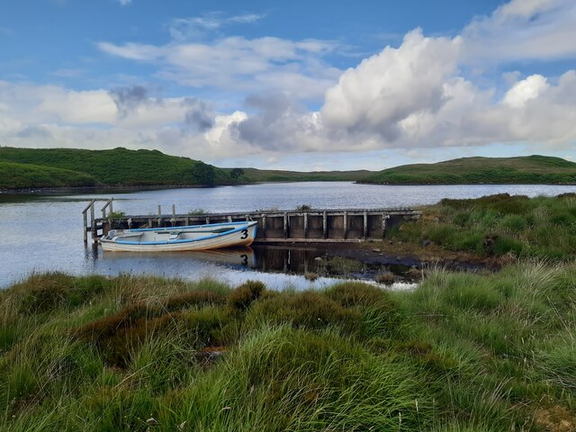
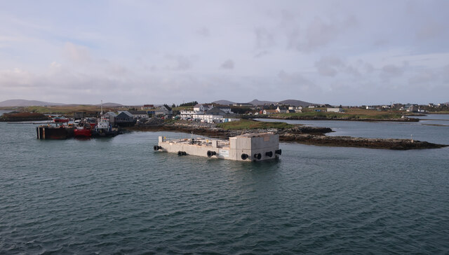
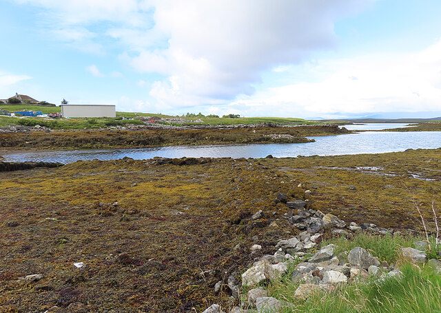
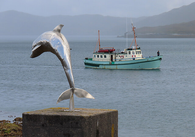
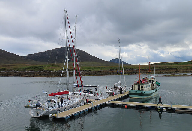
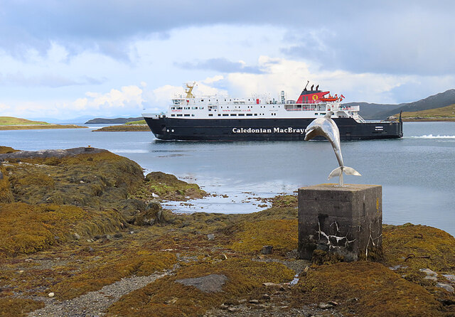
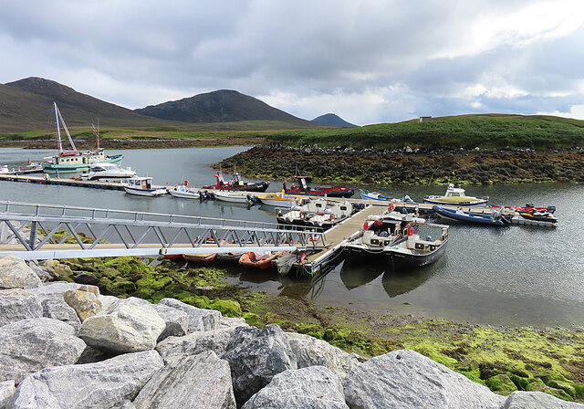
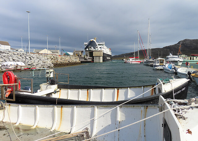
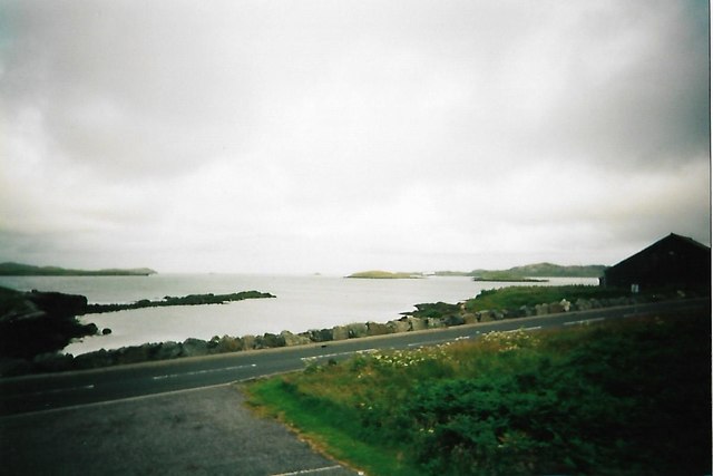
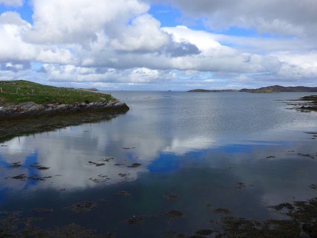
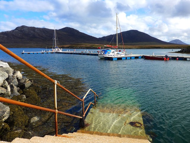
Cam-Àrd-Beag Images
Images are sourced within 2km of 57.592823/-7.1705699 or Grid Reference NF9167. Thanks to Geograph Open Source API. All images are credited.


Cam-Àrd-Beag is located at Grid Ref: NF9167 (Lat: 57.592823, Lng: -7.1705699)
Unitary Authority: Na h-Eileanan an Iar
Police Authority: Highlands and Islands
What 3 Words
///ivory.registers.chins. Near Lochmaddy, Na h-Eileanan Siar
Nearby Locations
Related Wikis

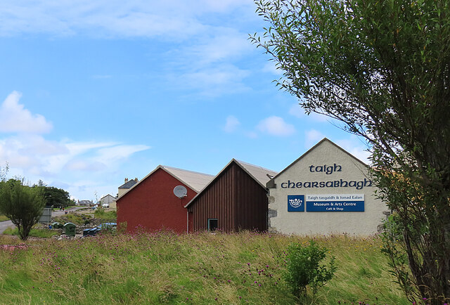
Taigh Chearsabhagh
Taigh Chearsabhagh is an arts centre and museum in Lochmaddy on the island of North Uist, Scotland.Taigh Chearsabhagh was built in 1741 and originally...

Lochmaddy
Lochmaddy (Scottish Gaelic: Loch nam Madadh [l̪ˠɔx nə ˈmat̪əɣ], "Loch of the Hounds") is the administrative centre of North Uist in the Outer Hebrides...

Ceallasaigh Beag
Ceallasaigh Beag (or Keallasay Beg) is a low-lying island in Loch Maddy off North Uist in the Outer Hebrides of Scotland. This an area of shallow lagoons...

Weavers Point
Weavers Point (Scottish Gaelic: Rubha an Fhigheadair) is a headland to the north of the entrance to Loch Maddy, on the north eastern coastline of North...
Nearby Amenities
Located within 500m of 57.592823,-7.1705699Have you been to Cam-Àrd-Beag?
Leave your review of Cam-Àrd-Beag below (or comments, questions and feedback).