Àird a' Chonnaidh

Coastal Feature, Headland, Point in Inverness-shire

Scotland

Àird a' Chonnaidh

Peaty pool by the roadside Cotton grass by the roadside, looking south east towards the hills beyond Lochmaddy.
Peaty pool by the roadside Credit: Gordon Hatton

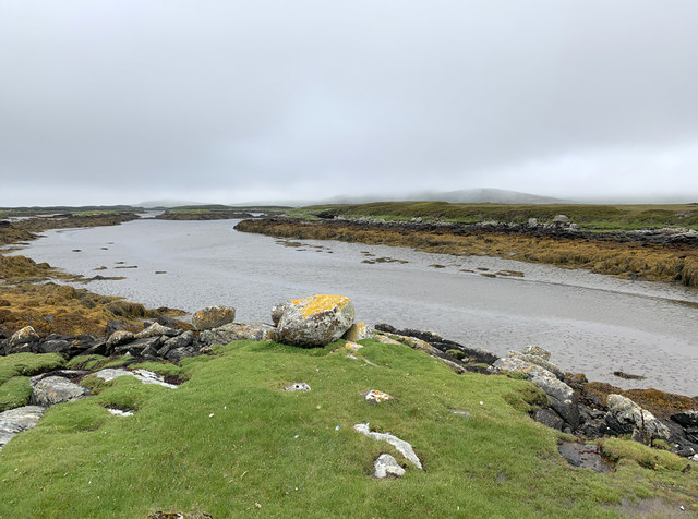
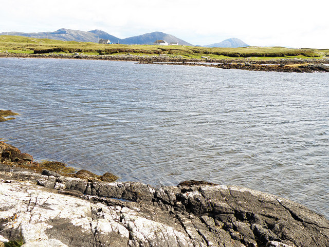
Àird a' Chonnaidh is a prominent coastal feature located in Inverness-shire, Scotland. It is a picturesque headland that extends out into the North Atlantic Ocean, offering stunning views and a rugged natural beauty. Situated between the villages of Aultbea and Mellon Charles, Àird a' Chonnaidh is a popular destination for both locals and tourists.

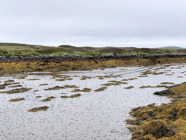
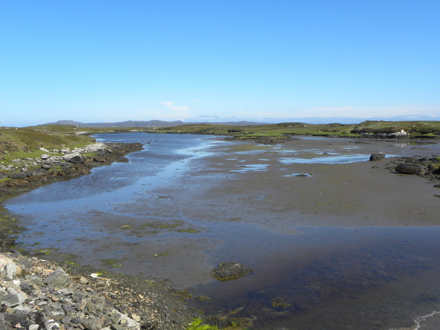
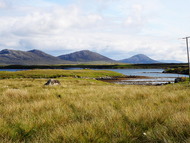
The headland is characterized by its rugged cliffs, which rise majestically from the sea, and its rocky shoreline, which is interspersed with small sandy coves. The headland itself is covered in a mix of grassland, heather, and shrubs, creating a diverse and vibrant ecosystem. The area is also home to a variety of bird species, including gulls, fulmars, and cormorants, making it a haven for birdwatchers.

Visitors to Àird a' Chonnaidh can enjoy a range of activities, including hiking along the coastal paths that provide breathtaking views of the surrounding landscape. The headland is also a popular spot for fishing, with anglers drawn to its abundant marine life.

In addition to its natural beauty, Àird a' Chonnaidh also has historical significance. The remains of an Iron Age fort can be found on the headland, providing a glimpse into the area's ancient past.

Overall, Àird a' Chonnaidh is a stunning coastal feature that offers a mix of natural beauty, outdoor activities, and historical significance. Whether it's exploring the cliffs, enjoying the sandy coves, or immersing oneself in the area's rich history, a visit to Àird a' Chonnaidh is sure to be a memorable experience.

If you have any feedback on the listing, please let us know in the comments section below.

Àird a' Chonnaidh Images

Images are sourced within 2km of 57.643237/-7.1789463 or Grid Reference NF9173. Thanks to Geograph Open Source API. All images are credited.
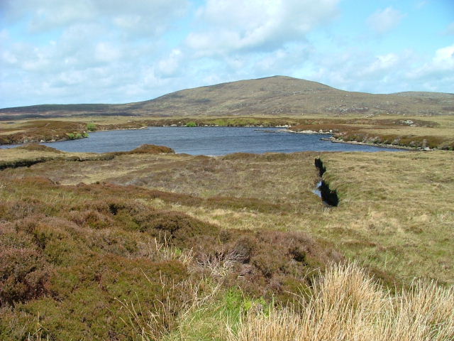
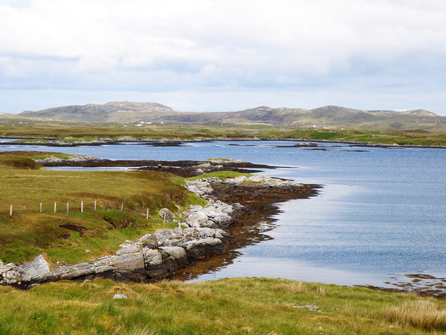
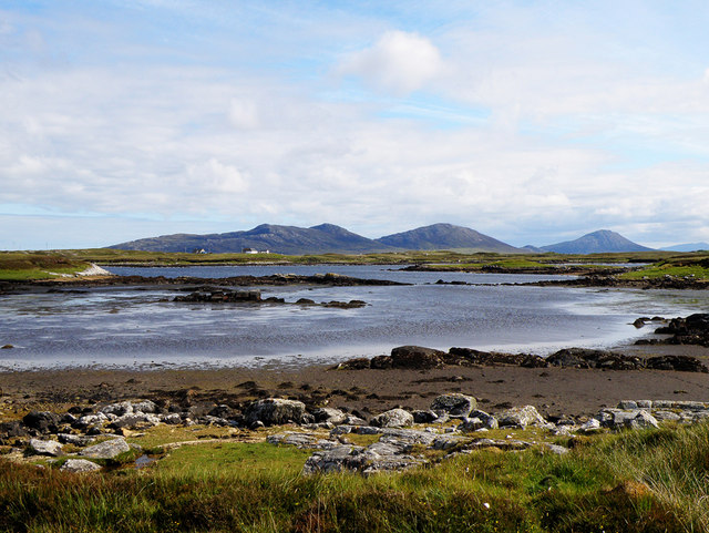
Peaty pool by the roadside Cotton grass by the roadside, looking south east towards the hills beyond Lochmaddy.
Peaty pool by the roadside
Cotton grass by the roadside, looking south east towards the hills beyond Lochmaddy.
Peat stacks at Stolie Moorland dropping gently to a tidal channel, with Beinn Mhor in the distance.
Peat stacks at Stolie
Moorland dropping gently to a tidal channel, with Beinn Mhor in the distance.
Tidal channels and mud flats Having squeezed into a corner of this square, further progress across the tidal mud flats would appear to be a foolish move. The unnamed islet some 150m away is, according to the OS map, surrounded by sand. In reality it appears to be a rather sicky mud.
Tidal channels and mud flats
Having squeezed into a corner of this square, further progress across the tidal mud flats would appear to be a foolish move. The unnamed islet some 150m away is, according to the OS map, surrounded by sand. In reality it appears to be a rather sicky mud.
A maze of muddy channels Looking east from the Rubha Dubh promontory across a maze of muddy channels, exposed rocks and little islands.
A maze of muddy channels
Looking east from the Rubha Dubh promontory across a maze of muddy channels, exposed rocks and little islands.
Tidal channel from Rubha Dubh There's a maze of muddy tidal channels here. The OS map indicates sand, but only the foolish, or those with chest waders would be tempted to cross these muddy channels.
Tidal channel from Rubha Dubh
There's a maze of muddy tidal channels here. The OS map indicates sand, but only the foolish, or those with chest waders would be tempted to cross these muddy channels.
Tidal channel between Aird Innis and Aird nan Laogh Seen close to low tide. Aird Innis, almost a separate island is on the far side of the mud.
Tidal channel between Aird Innis and Aird nan Laogh
Seen close to low tide. Aird Innis, almost a separate island is on the far side of the mud.
Tidal channel between Aird Innis and Aird nan Laogh Seen close to low tide. Aird Innis, almost a separate island is on the far side of the mud.
Tidal channel between Aird Innis and Aird nan Laogh
Seen close to low tide. Aird Innis, almost a separate island is on the far side of the mud.
View towards Loch an Duin The distant water translates as the Loch of the Dun, with the remains of Dun Torcuill in the middle distance [centre of photo]. The convoluted outline of the loch includes two other dun sites, both well out of sight from this point by the road.
View towards Loch an Duin
The distant water translates as the Loch of the Dun, with the remains of Dun Torcuill in the middle distance [centre of photo]. The convoluted outline of the loch includes two other dun sites, both well out of sight from this point by the road.
Loch Dheoir Loch Dheoir is the name given to this area of salt water where a maze of channels eventually connect with the open sea close to Lochmaddy.
Loch Dheoir
Loch Dheoir is the name given to this area of salt water where a maze of channels eventually connect with the open sea close to Lochmaddy.
Cama Lochan Beinn Mhor in the background.
Cama Lochan
Beinn Mhor in the background.
Peat Bank By the Lochportain road.
Peat Bank
By the Lochportain road.
Loch Dheoir From the Lochportain road.
Loch Dheoir
From the Lochportain road.
Open Moorland Looking towards houses at Braigh Chalasaigh.
Open Moorland
Looking towards houses at Braigh Chalasaigh.
Loch Blathaisbhal In the distance on the left can be seen Crogearraidh na Thabha rising to 154m
Loch Blathaisbhal
In the distance on the left can be seen Crogearraidh na Thabha rising to 154m
Loch Dheoir In the distance can be seen Li a Tuath (250m), Li a Deas (281m) and Eabhal (347m)
Loch Dheoir
In the distance can be seen Li a Tuath (250m), Li a Deas (281m) and Eabhal (347m)
Loch Dheoir In the distance can be seen Li a Tuath (250m), Li a Deas (281m) and Eabhal (347m)
Loch Dheoir
In the distance can be seen Li a Tuath (250m), Li a Deas (281m) and Eabhal (347m)
Loch Siginis In the distance can be seen Li a Tuath (250m), Li a Deas (281m), Eabhal (347m) and, on South Uist, Thacla (606m)
Loch Siginis
In the distance can be seen Li a Tuath (250m), Li a Deas (281m), Eabhal (347m) and, on South Uist, Thacla (606m)
Electricity Pole Crossing the soggy peat, as seen at the forefront of the photograph
Electricity Pole
Crossing the soggy peat, as seen at the forefront of the photograph
Show me another place!

Àird a' Chonnaidh is located at Grid Ref: NF9173 (Lat: 57.643237, Lng: -7.1789463)

Unitary Authority: Na h-Eileanan an Iar

Police Authority: Highlands and Islands

What 3 Words

///racing.cabbage.haircuts. Near Lochmaddy, Na h-Eileanan Siar

Related Wikis

Ceallasaigh Mòr

Ceallasaigh Mòr (or Keallasay More) is a low-lying island in Loch Maddy off North Uist in the Outer Hebrides of Scotland. This an area of shallow lagoons...

Loch an Duin

Loch an Duin is a complex system of freshwater, brackish and sea lochs, tidal channels and islands, on and close to North Uist off the west coast of Scotland...

Ceallasaigh Beag

Ceallasaigh Beag (or Keallasay Beg) is a low-lying island in Loch Maddy off North Uist in the Outer Hebrides of Scotland. This an area of shallow lagoons...

Stromay

Stromay (Scottish Gaelic: Sròmaigh) is a tidal island off North Uist in the Sound of Harris, Scotland. The low island of Stromay lies between two wide...

Nearby Amenities

Located within 500m of 57.643237,-7.1789463
Passing Place
Lat/Long: 57.6456323/-7.1820783
Passing Place
Lat/Long: 57.6455269/-7.1769584
Passing Place
Lat/Long: 57.6459323/-7.1849354
Passing Place
Lat/Long: 57.6446054/-7.1752364
Power: pole
Lat/Long: 57.6459748/-7.180295
Power: pole
Lat/Long: 57.6458858/-7.1788573
Power: pole
Lat/Long: 57.6457918/-7.1774143
Power: pole
Lat/Long: 57.6457042/-7.176053
Power: pole
Lat/Long: 57.6460257/-7.1810943
Power: pole
Lat/Long: 57.6460867/-7.1819217
Power: pole
Lat/Long: 57.6461549/-7.1831193
Power: pole
Lat/Long: 57.6462618/-7.1847179
Power: pole
Lat/Long: 57.645368/-7.1729752
Power: pole
Lat/Long: 57.6452617/-7.172082
Power: pole
Lat/Long: 57.6456192/-7.1748313
Passing Place
Lat/Long: 57.6446582/-7.1717599
The data included in this document is from www.openstreetmap.org. The data is made available under ODbL.

Have you been to Àird a' Chonnaidh?

Leave your review of Àird a' Chonnaidh below (or comments, questions and feedback).