Peninnis Head
Coastal Feature, Headland, Point in Cornwall
England
Peninnis Head

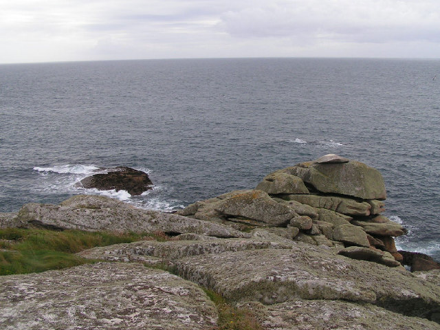
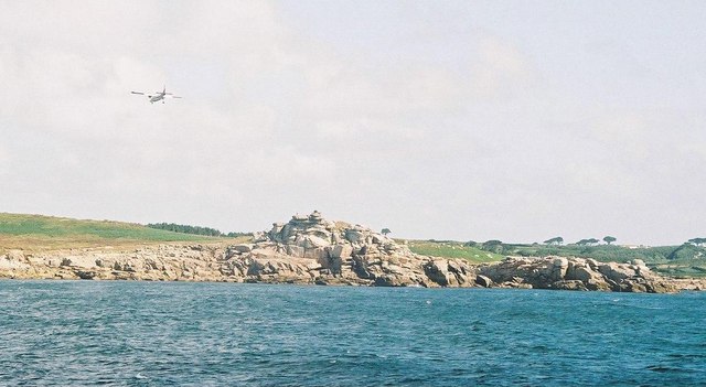
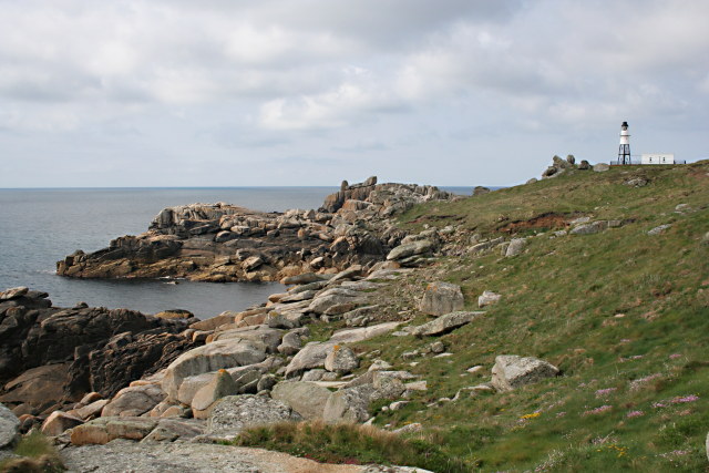
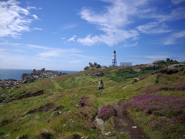
Peninnis Head is a prominent coastal feature located on the southernmost tip of St Mary's Island, one of the Isles of Scilly, Cornwall, in the United Kingdom. This headland juts out into the Atlantic Ocean, offering breathtaking views and a dramatic landscape.
Rising up to an elevation of approximately 43 meters (141 feet), Peninnis Head showcases rugged cliffs and rocky outcrops, providing a haven for diverse marine and bird life. The headland is primarily composed of granite, a characteristic feature of the region. Its exposed position makes it susceptible to the harsh weather conditions commonly experienced on this remote island, with strong winds and powerful waves sculpting the cliffs over time.
The area surrounding Peninnis Head is renowned for its exceptional biodiversity. The cliffs provide nesting sites for numerous seabirds, including razorbills, guillemots, and fulmars. Puffins can also be spotted during the breeding season. The surrounding waters are teeming with marine life, offering excellent opportunities for diving and snorkeling enthusiasts.
Access to Peninnis Head is facilitated by a network of footpaths that wind through the island's coastal area. Visitors can enjoy a leisurely stroll along the headland, taking in the stunning vistas of the Atlantic Ocean, neighboring islands, and the rugged Cornish coastline. The headland is also a popular spot for birdwatching, photography, and simply immersing oneself in the natural beauty of this remote and unspoiled location.
In summary, Peninnis Head is a captivating headland situated on St Mary's Island in the Isles of Scilly. Its towering cliffs, diverse wildlife, and awe-inspiring views make it a must-visit destination for nature enthusiasts and those seeking tranquility amidst the rugged beauty of Cornwall's coastline.
If you have any feedback on the listing, please let us know in the comments section below.
Peninnis Head Images
Images are sourced within 2km of 49.905905/-6.3038157 or Grid Reference SV9109. Thanks to Geograph Open Source API. All images are credited.


Peninnis Head is located at Grid Ref: SV9109 (Lat: 49.905905, Lng: -6.3038157)
Division: Isles of Scilly
Unitary Authority: Isles of Scilly
Police Authority: Devon and Cornwall
What 3 Words
///revise.rave.depended. Near St Mary's, Isles of Scilly
Nearby Locations
Related Wikis
Peninnis Head
Peninnis Head (Cornish: Penn Enys, meaning Island Head) is the southernmost point of St Mary's, Isles of Scilly. The headland is within the Isles of Scilly...

Minnehaha (cargo ship)
The Minnehaha was a barque built in 1857 and wrecked on 18 January 1874 in the Isles of Scilly. == Wreck == On 18 January 1874, while travelling from...

Peninnis Lighthouse
Peninnis Lighthouse is situated on Peninnis Head, St Mary's, Isles of Scilly. == History == The light was built to replace the lighthouse in the centre...

St Mary's Old Church, St Mary's
St Mary's Old Church, St Mary's is a parish church in the Church of England located in Old Town on St Mary's, Isles of Scilly, Cornwall, United Kingdom...
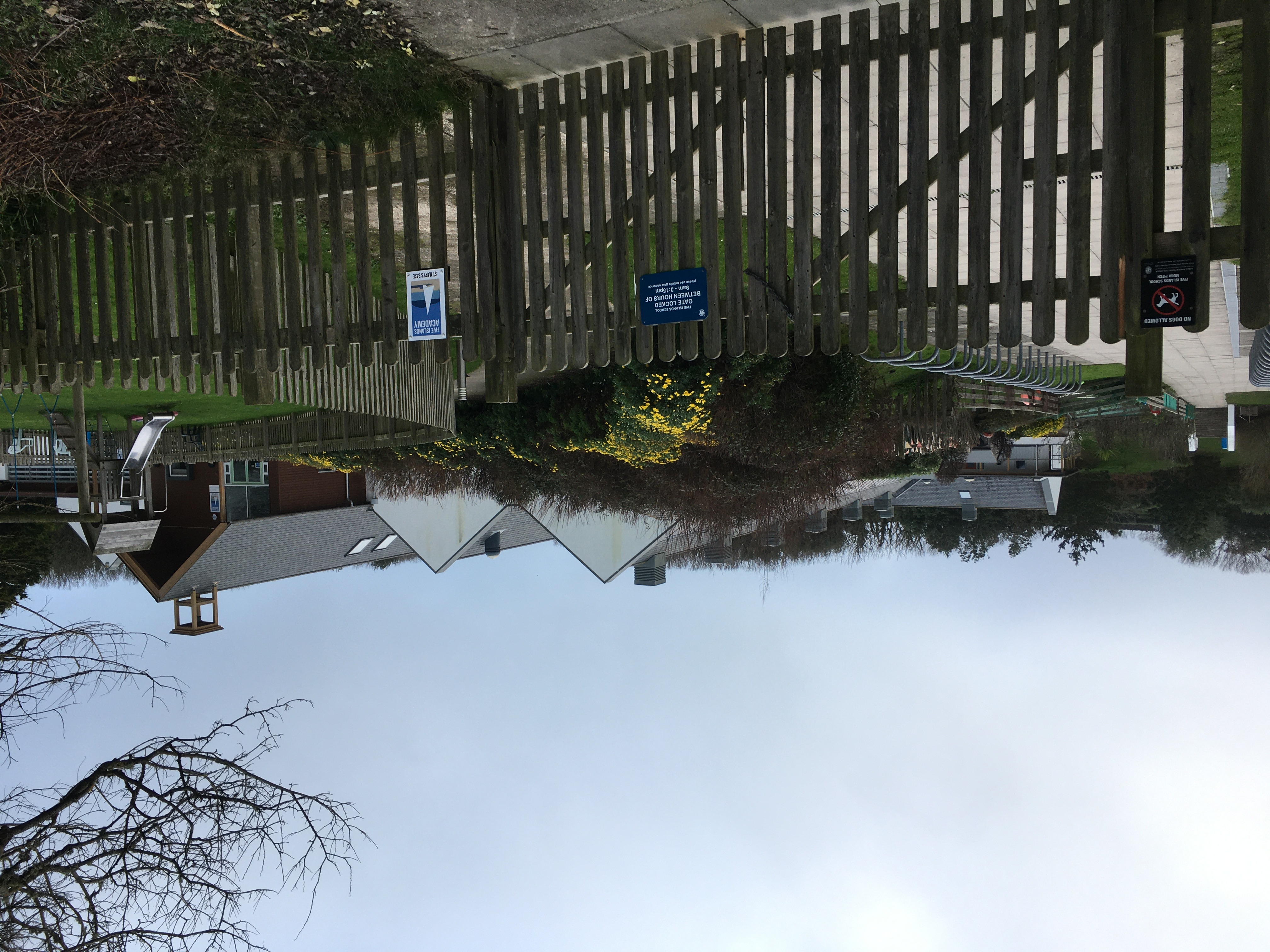
Five Islands Academy
Five Islands Academy, formerly Five Islands School, is the first federated school in the United Kingdom, providing primary and secondary education for...
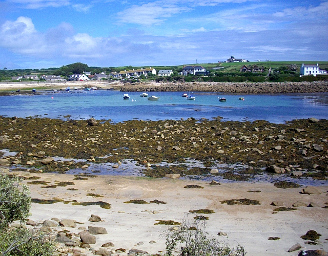
Old Town, Isles of Scilly
Old Town (Cornish: Treveglos "church town") is a village on St Mary's in the Isles of Scilly located southeast of Hugh Town. It is thought to be the oldest...

Buzza Tower
Buzza Tower is a Grade II listed structure on St Mary's, Isles of Scilly now used as a camera obscura. The tower was built in 1821 as a windmill. It was...

Lower Moors (St Mary's)
The Lower Moors is a wetland between Hugh Town and Old Town Bay on St Mary's, the largest island in the Isles of Scilly. The Isles of Scilly are an archipelago...
Nearby Amenities
Located within 500m of 49.905905,-6.3038157Have you been to Peninnis Head?
Leave your review of Peninnis Head below (or comments, questions and feedback).