Willy Hall's Spout

Waterfall in Yorkshire

England

Willy Hall's Spout

The Dalesway, Ilkley At the junction of Leeds Road and New Brook Street.
The Dalesway, Ilkley Credit: Andrew Abbott

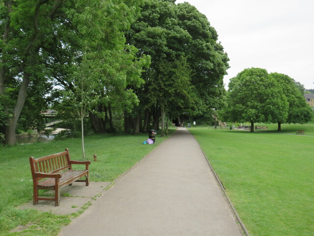
Willy Hall's Spout, located in Yorkshire, England, is a captivating and picturesque waterfall that attracts nature enthusiasts and hikers from near and far. Nestled within the scenic landscape of the Yorkshire Dales National Park, this natural wonder offers visitors a glimpse into the raw beauty of the region.

The waterfall is situated in a narrow gorge, surrounded by lush greenery and towering cliffs, which adds to its dramatic appeal. Fed by a small stream, the water cascades down a series of rocky ledges, creating a mesmerizing display of cascading water. The sound of the rushing water combined with the tranquil atmosphere of the surrounding forest makes for an immersive and rejuvenating experience.

Reaching Willy Hall's Spout requires a moderate hike through the stunning countryside, with well-marked paths leading visitors to the waterfall. Along the way, hikers are treated to breathtaking views of the rolling hills and meandering rivers that typify the Yorkshire Dales.

The waterfall offers a peaceful retreat for those seeking solace in nature, as well as a popular spot for photographers and artists capturing the region's beauty. Visitors can also explore the area surrounding the waterfall, with ample opportunities for birdwatching and spotting native wildlife.

Willy Hall's Spout is a hidden gem in Yorkshire, offering a chance to escape the hustle and bustle of everyday life and immerse oneself in the tranquility and splendor of the natural world.

If you have any feedback on the listing, please let us know in the comments section below.

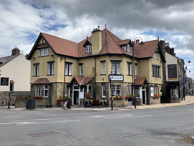
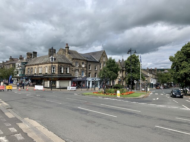
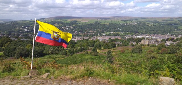
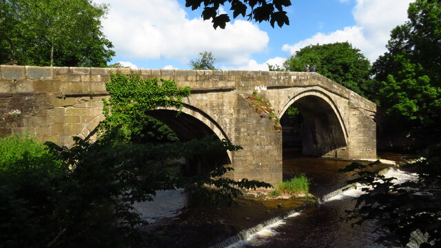
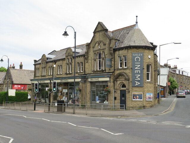
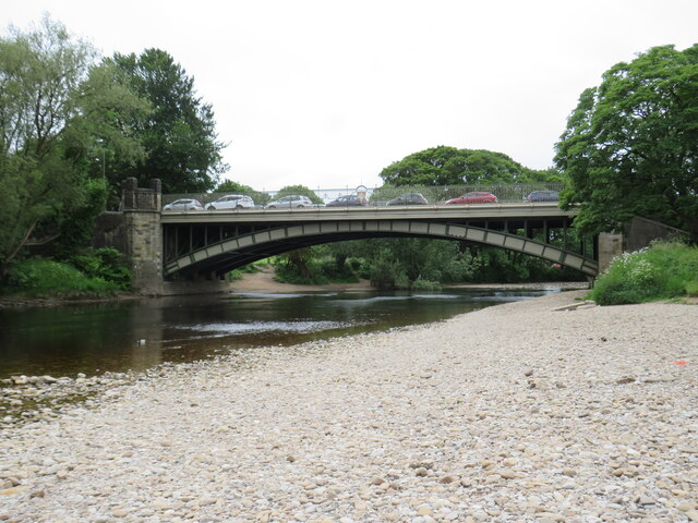
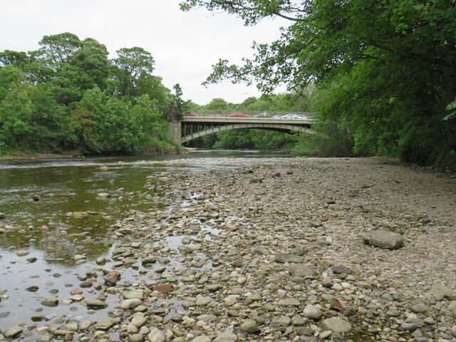
Willy Hall's Spout Images

Images are sourced within 2km of 53.916777/-1.8249541 or Grid Reference SE1146. Thanks to Geograph Open Source API. All images are credited.

The Dalesway, Ilkley At the junction of Leeds Road and New Brook Street.
The Dalesway, Ilkley
At the junction of Leeds Road and New Brook Street.
Ilkley town centre The junction of Brook Street and Station Road.
Ilkley town centre
The junction of Brook Street and Station Road.
White Wells view The view from White Wells looking over Ilkley.
White Wells view
The view from White Wells looking over Ilkley.
Panorama Rocks, Ilkley Re-located boulders with Cup & Ring marked Rocks saved from Victorian development.
Panorama Rocks, Ilkley
Re-located boulders with Cup & Ring marked Rocks saved from Victorian development.
Ilkley Old Bridge over the River Wharfe
Ilkley Cinema Ilkley Cinema, with a furnishings shop along the ground floor.
Ilkley Cinema
Ilkley Cinema, with a furnishings shop along the ground floor.
Leeds Road, Ilkley A row of houses on Leeds Road in Ilkley.  This road is on the route of the A65.
Leeds Road, Ilkley
A row of houses on Leeds Road in Ilkley. This road is on the route of the A65.
Back alley in Ilkley A back alley behind a terrace of houses in Ilkley.
Back alley in Ilkley
A back alley behind a terrace of houses in Ilkley.
Ash Grove, Ilkley Ash Grove is a residential road with terraced houses in the town of Ilkley in West Yorkshire.
Ash Grove, Ilkley
Ash Grove is a residential road with terraced houses in the town of Ilkley in West Yorkshire.
Path and back alley, Ilkley A public footpath to the left and a back alley to the right, in the town of Ilkley in West Yorkshire.
Path and back alley, Ilkley
A public footpath to the left and a back alley to the right, in the town of Ilkley in West Yorkshire.
River Wharfe, Ilkley The River Wharfe flowing through Ilkley in West Yorkshire.  The suspension bridge is for pedestrians.
River Wharfe, Ilkley
The River Wharfe flowing through Ilkley in West Yorkshire. The suspension bridge is for pedestrians.
River Wharfe, Ilkley A view of the River Wharfe as it flows through Ilkley.  This view looks downstream.
River Wharfe, Ilkley
A view of the River Wharfe as it flows through Ilkley. This view looks downstream.
River Wharfe, Ilkley The River Wharfe flowing through the town of Ilkley in West Yorkshire.  This view looks upstream.
River Wharfe, Ilkley
The River Wharfe flowing through the town of Ilkley in West Yorkshire. This view looks upstream.
River Wharfe, Ilkley A view of the River Wharfe looking upstream, as it flows through Ilkley.
River Wharfe, Ilkley
A view of the River Wharfe looking upstream, as it flows through Ilkley.
River Wharfe, Ilkley A view of the River Wharfe as it flows through the town of Ilkley in West Yorkshire.
River Wharfe, Ilkley
A view of the River Wharfe as it flows through the town of Ilkley in West Yorkshire.
Riverside Gardens, Ilkley Riverside Gardens is a park in Ilkley, in West Yorkshire.  As its name suggests, it is located on the ban of the River Wharfe which is visible to the left, through the trees.

The path forms part of the route of the Ebor Way long distance path, which stretches from Ilkley through York to Helmsley in the North Yorkshire Moors.
Riverside Gardens, Ilkley
Riverside Gardens is a park in Ilkley, in West Yorkshire. As its name suggests, it is located on the ban of the River Wharfe which is visible to the left, through the trees. The path forms part of the route of the Ebor Way long distance path, which stretches from Ilkley through York to Helmsley in the North Yorkshire Moors.
Parish Ghyll Road, Ilkley Parish Ghyll Road is a residential road on a hillside in Ilkley, in West Yorkshire.
Parish Ghyll Road, Ilkley
Parish Ghyll Road is a residential road on a hillside in Ilkley, in West Yorkshire.
Princess Road, Ilkley Princess Road is a residential road in Ilkley, in West Yorkshire.
Princess Road, Ilkley
Princess Road is a residential road in Ilkley, in West Yorkshire.
Show me another place!

Willy Hall's Spout is located at Grid Ref: SE1146 (Lat: 53.916777, Lng: -1.8249541)

Division: West Riding

Unitary Authority: Bradford

Police Authority: West Yorkshire

What 3 Words

///mostly.strapping.pegged. Near Ilkley, West Yorkshire

Related Wikis

White Wells

White Wells is a spa bath on Ilkley Moor in West Yorkshire, England. White Wells was built around 1700 at the back of the current Spa Cottage as an open...
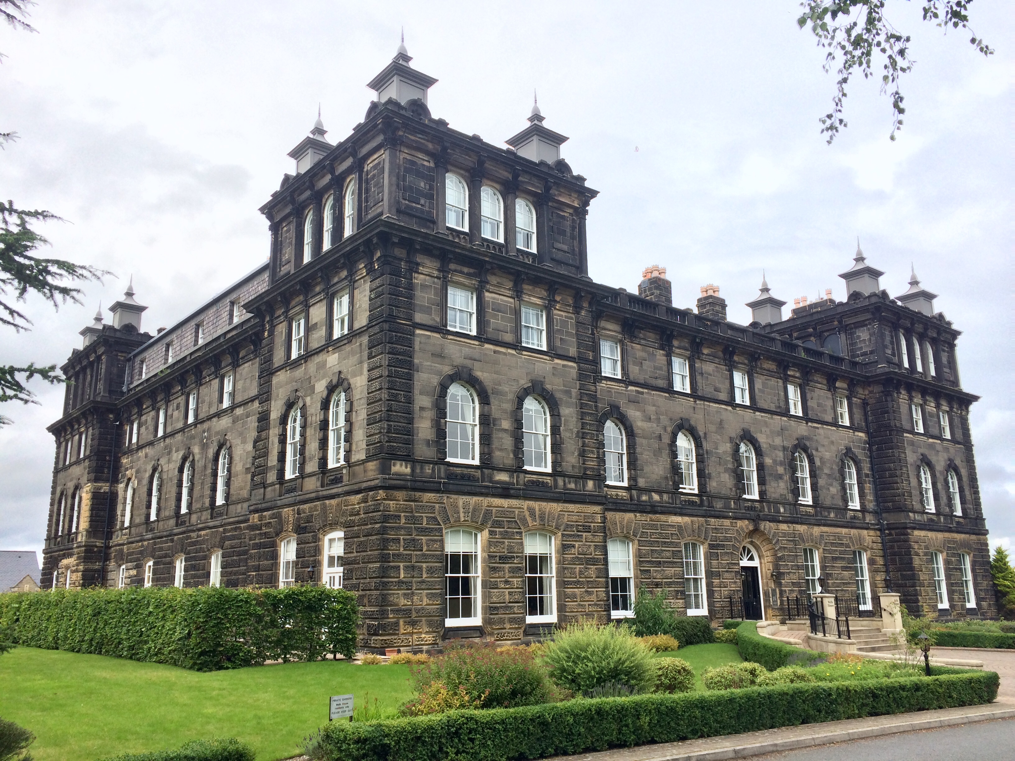
Wells House, Ilkley

Wells House is a large former hydropathic establishment and hotel in Ilkley, West Yorkshire, England, now used as private apartments. It was built in 1854...
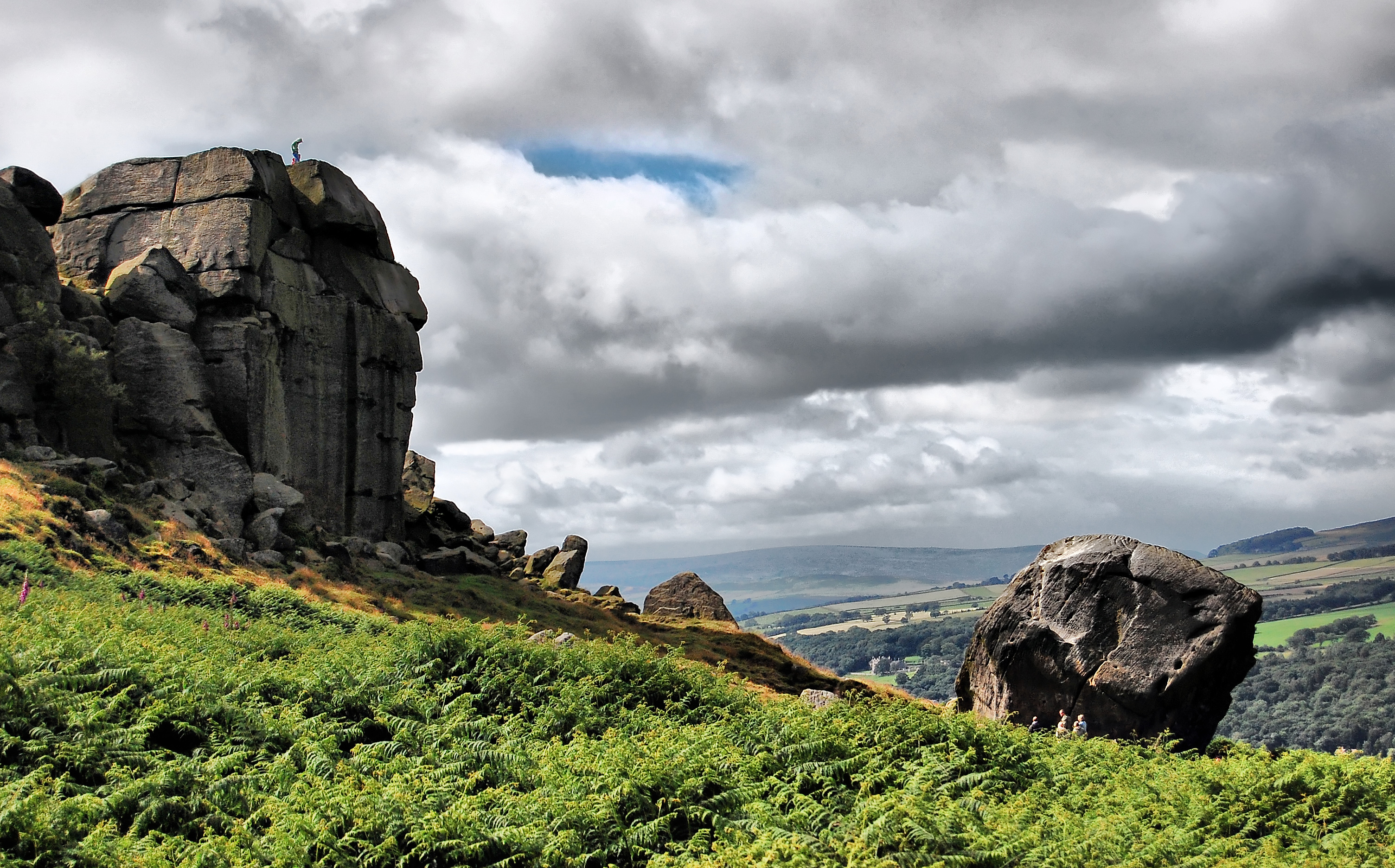
Ilkley Moor

Ilkley Moor is part of Rombalds Moor, the moorland between Ilkley and Keighley in West Yorkshire, England. The moor, which rises to 402 m (1,319 ft) above...
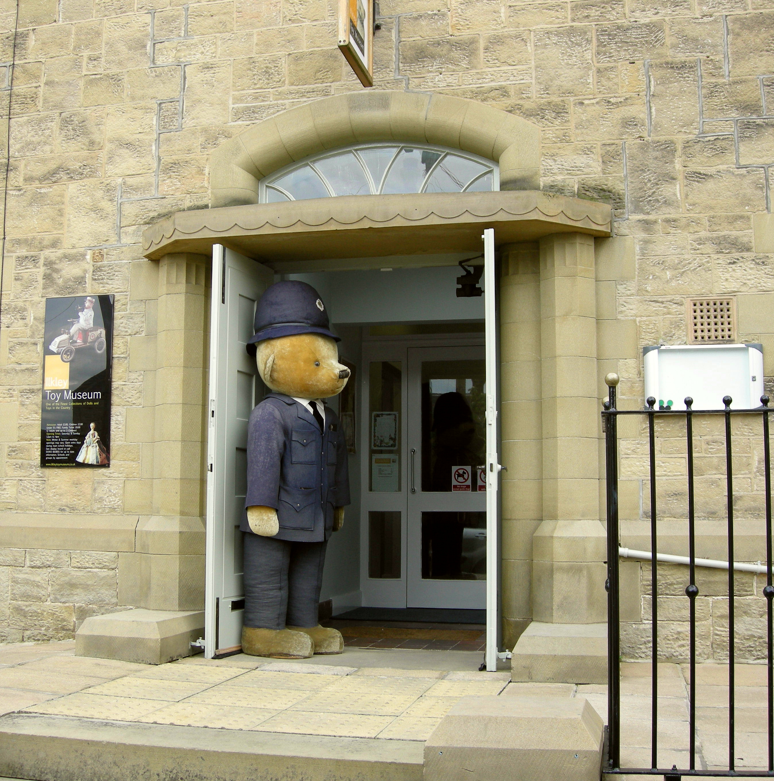
Ilkley Toy Museum

Ilkley Toy Museum in Ilkley, West Yorkshire, houses a private collection of toys dating from 350 BC to modern times, and is open to the public, schools...

Christchurch, Ilkley

Christchurch, Ilkley is a Grade II listed United Reformed and Methodist ecumenical partnership church in Ilkley, North Yorkshire, England. == History... ==
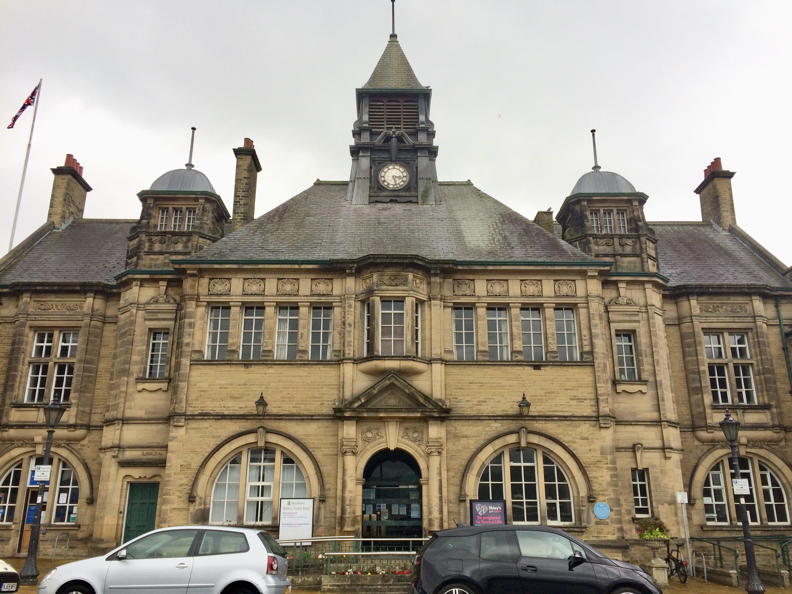
Ilkley Town Hall

Ilkley Town Hall, on Station Road, Ilkley, West Yorkshire, is a Grade II listed municipal building designed by William Bakewell of Leeds. It forms the...

Ilkley Grammar School

Ilkley Grammar School (IGS) is a co-educational, state comprehensive secondary school in Ilkley, West Yorkshire, England, that specialises in humanities...
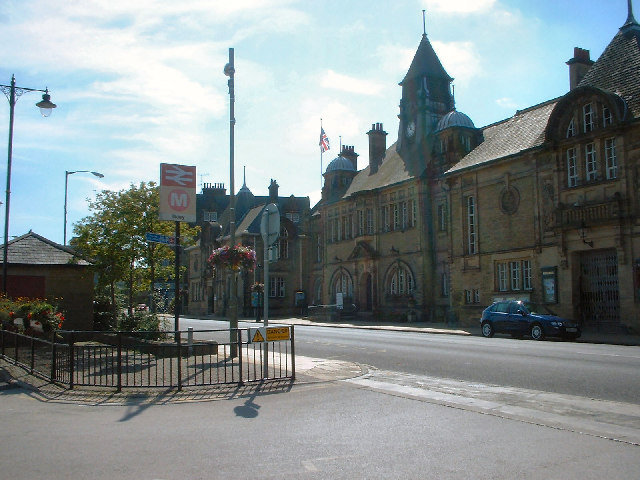
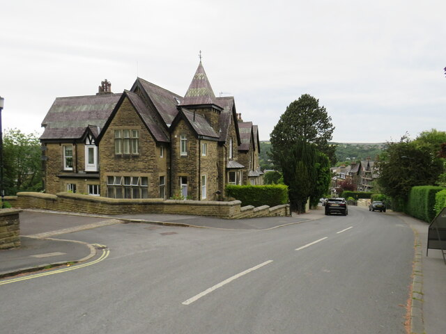
Ilkley

Ilkley is a spa town and civil parish in the City of Bradford in West Yorkshire, in Northern England. Historically part of the West Riding of Yorkshire...

Nearby Amenities

Located within 500m of 53.916777,-1.8249541
Barrier: cattle_grid
Lat/Long: 53.9188656/-1.8297102
Parking
Parking: surface
Surface: unpaved
Lat/Long: 53.9189271/-1.826303
Ford: yes
Lat/Long: 53.9170015/-1.8248068
Barmishaw Hole
Place: locality
Lat/Long: 53.9139245/-1.8276687
Barmishaw Well (covered)
Lat/Long: 53.9152683/-1.8281329
Turning Circle
Source: Bing
Lat/Long: 53.9202983/-1.8271304
Turning Circle
Source: Bing
Lat/Long: 53.9212071/-1.8246925
Barrier: cattle_grid
Lat/Long: 53.9206683/-1.8223835
Turning Circle
Source: Bing
Lat/Long: 53.9200142/-1.8288555
Bench
Lat/Long: 53.9169558/-1.8218645
Bench
Lat/Long: 53.9169786/-1.8217384
Bench
Lat/Long: 53.9170108/-1.8215881
Bench
Lat/Long: 53.9179073/-1.8311166
Barrier: stile
Lat/Long: 53.9189567/-1.8292657
Willy Hall's Spout
Waterway: waterfall
Lat/Long: 53.9169478/-1.824829
Barrier: kissing_gate
Foot: yes
Motor Vehicle: no
Lat/Long: 53.9203649/-1.8218051
Tourism: picnic_site
Lat/Long: 53.9206081/-1.8230679
The Millenium Maze
Information: board
Tourism: information
Lat/Long: 53.9202002/-1.8234596
Bench
Lat/Long: 53.9165499/-1.8213822
Tourism: viewpoint
Lat/Long: 53.9169761/-1.8218113
Information: map
Tourism: information
Lat/Long: 53.9187896/-1.8261713
Ford: stepping_stones
Lat/Long: 53.9169845/-1.8248139
Waste Basket
Lat/Long: 53.9187752/-1.8262074
Bench
Backrest: yes
Lat/Long: 53.9169433/-1.8214729
Bench
Lat/Long: 53.9165728/-1.8213347
Bench
Lat/Long: 53.9165787/-1.8212747
Bench
Lat/Long: 53.916571/-1.8212086
Direction: 20
Tourism: viewpoint
Lat/Long: 53.9165847/-1.8212981
Barmishaw
Place: locality
Lat/Long: 53.9174363/-1.829011
The data included in this document is from www.openstreetmap.org. The data is made available under ODbL.

Have you been to Willy Hall's Spout?

Leave your review of Willy Hall's Spout below (or comments, questions and feedback).