Black Foss Waterfall

Waterfall in Yorkshire Harrogate

England

Black Foss Waterfall

Round Hill tumulus, Middleton Moor To the north are a number of cupstones with which this tumulus may be associated... or maybe not. Beyond is the view across Wharfedale, with Addingham Moor in the distance to the left.
Round Hill tumulus, Middleton Moor Credit: David Spencer

Black Foss Waterfall, located in the stunning county of Yorkshire in northern England, is a captivating natural wonder that draws in visitors from near and far. This mesmerizing waterfall is nestled within the picturesque Nidderdale Area of Outstanding Natural Beauty, providing a tranquil and idyllic setting for an unforgettable outdoor experience.

Cascading down in multiple tiers, Black Foss Waterfall is a spectacle to behold, with its crystal-clear waters glistening in the sunlight as they gracefully flow over the rugged rocks. The waterfall stands at an impressive height of around 20 feet, creating a dramatic and powerful sight that captivates all who lay eyes on it.

Accessing Black Foss Waterfall involves a moderate hike through scenic woodland trails, adding to the sense of adventure and discovery. The surrounding area is abundant with lush vegetation, including ferns, mosses, and wildflowers, creating a rich and diverse ecosystem that supports numerous plant and animal species.

Visitors to Black Foss Waterfall can take advantage of the well-maintained footpaths and viewing platforms that offer the perfect vantage points for admiring the waterfall's beauty. The area also provides ample opportunities for nature lovers and photographers to capture the breathtaking scenery and capture the magic of this natural gem.

Whether it's a peaceful picnic by the cascades or an invigorating hike through the picturesque landscape, Black Foss Waterfall offers a serene and awe-inspiring experience for all those who venture to this enchanting corner of Yorkshire.

If you have any feedback on the listing, please let us know in the comments section below.

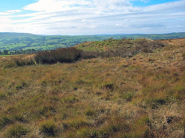
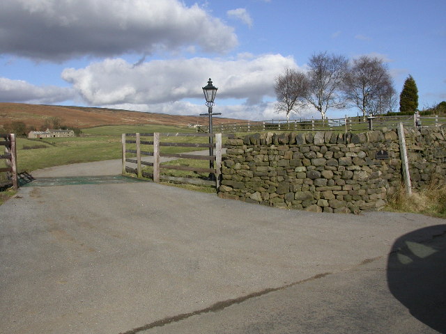
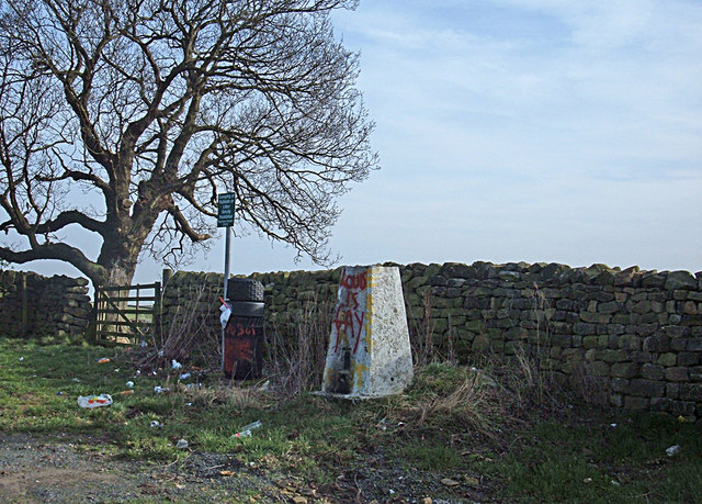
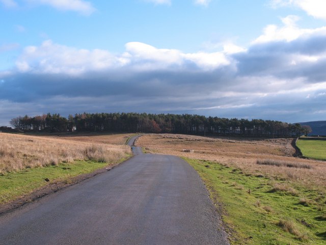
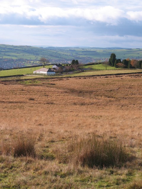
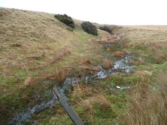
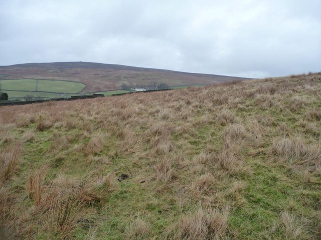
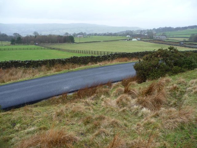
Black Foss Waterfall Images

Images are sourced within 2km of 53.953495/-1.8619514 or Grid Reference SE0950. Thanks to Geograph Open Source API. All images are credited.

Round Hill tumulus, Middleton Moor To the north are a number of cupstones with which this tumulus may be associated... or maybe not. Beyond is the view across Wharfedale, with Addingham Moor in the distance to the left.
Round Hill tumulus, Middleton Moor
To the north are a number of cupstones with which this tumulus may be associated... or maybe not. Beyond is the view across Wharfedale, with Addingham Moor in the distance to the left.
Gateway to Moor End Farm Looking North across the cattle grid at the entrance to Moor End Farm. Blackhill House is visible in the background with Langbar Moor beyond. Note the contrast between the colour of the vegetation on either side of the dividing dry-stone wall.
Gateway to Moor End Farm
Looking North across the cattle grid at the entrance to Moor End Farm. Blackhill House is visible in the background with Langbar Moor beyond. Note the contrast between the colour of the vegetation on either side of the dividing dry-stone wall.
Old Milestone Langbar Moor This old stone ['Skipton 6 1/2 mls'] stands at the junction of 2 paths on a damp moor above Addingham. Probably the route of an old pack horse track from Skipton to Knaresborough.
Old Milestone Langbar Moor
This old stone ['Skipton 6 1/2 mls'] stands at the junction of 2 paths on a damp moor above Addingham. Probably the route of an old pack horse track from Skipton to Knaresborough.
Ling Park Trig Pillar Situated at 245 metres above sea level on the back road between Ilkley and Beamsley. This would have been a very pleasant location had it not been for the rubbish strewn around and the graffiti.
Ling Park Trig Pillar
Situated at 245 metres above sea level on the back road between Ilkley and Beamsley. This would have been a very pleasant location had it not been for the rubbish strewn around and the graffiti.
Middleton Moor Milestone "To Knarsbrough [Knaresborough] 11 Ms [Miles]. Other sides read "To Skipton 6 Ms" and "To Otley 6 Ms".
Middleton Moor Milestone
"To Knarsbrough [Knaresborough] 11 Ms [Miles]. Other sides read "To Skipton 6 Ms" and "To Otley 6 Ms".
Road across Middleton Low Moor A section of the road between Langbar and Middleton where it runs across open moorland. Ling Park Plantation is seen in the distance.
Road across Middleton Low Moor
A section of the road between Langbar and Middleton where it runs across open moorland. Ling Park Plantation is seen in the distance.
Low Moor, Langbar Low Moor, close to where it gives way to improved land at about 250m above sea level in lower Wharfedale.
Low Moor, Langbar
Low Moor, close to where it gives way to improved land at about 250m above sea level in lower Wharfedale.
Footpath on Low Moor A rather muddy soggy excuse for a footpath follows the stunted wall on Low Moor, heading towards Chapel House
Footpath on Low Moor
A rather muddy soggy excuse for a footpath follows the stunted wall on Low Moor, heading towards Chapel House
Moor End Farm Farmhouse on the edge of Langbar Moor
Moor End Farm
Farmhouse on the edge of Langbar Moor
Track leading onto Langbar Moor Rough track leaving the lane beside Moor End Farm
Track leading onto Langbar Moor
Rough track leaving the lane beside Moor End Farm
View towards Beamsley Beacon/Old Pike Ridge Looking towards the summit ridge that separates the twin points of Beamsley Beacon to the right, and The Old Pike to the left - seen from near Pemberton Well on the wastes of Beamsley Moor.
View towards Beamsley Beacon/Old Pike Ridge
Looking towards the summit ridge that separates the twin points of Beamsley Beacon to the right, and The Old Pike to the left - seen from near Pemberton Well on the wastes of Beamsley Moor.
Lane to Nesfield at Low Moor
Moor End Farm
Moor End Farm
Gully of a moorland stream coming from Delves Tarn On the east side of Hardings Lane, near Moor End Farm.
Gully of a moorland stream coming from Delves Tarn
On the east side of Hardings Lane, near Moor End Farm.
Moorland stream coming from Delves Tarn About to pass under Hardings Lane.
Moorland stream coming from Delves Tarn
About to pass under Hardings Lane.
Looking towards Blackhill House, Lingbar Looking north from a hillock by Moor End Farm.
Looking towards Blackhill House, Lingbar
Looking north from a hillock by Moor End Farm.
Moor End Farm, Langbar Farming at the edge of moorland, about 240 metres above sea level.
Moor End Farm, Langbar
Farming at the edge of moorland, about 240 metres above sea level.
Fencing in a land of drystone walls Field boundaries on the west side of Hardings Lane at Moor End, Langbar.
Fencing in a land of drystone walls
Field boundaries on the west side of Hardings Lane at Moor End, Langbar.
Show me another place!

Black Foss Waterfall is located at Grid Ref: SE0950 (Lat: 53.953495, Lng: -1.8619514)

Division: West Riding

Administrative County: North Yorkshire

District: Harrogate

Police Authority: North Yorkshire

What 3 Words

///scouts.overused.impeached. Near Addingham, West Yorkshire

Nearby Locations

Black Foss Waterfall

Related Wikis

Nesfield

Nesfield is a small village, 2 miles (3.2 km) north-west of Ilkley on the north bank of the River Wharfe, in the civil parish of Nesfield with Langbar...

St Peter's Church, Addingham

St Peter's Church is a Church of England parish church in Addingham, West Yorkshire. It is a Grade I listed building, with the main structure dating to...

Addingham railway station

Addingham railway station was on the Midland Railway route from Skipton to Ilkley. It served the village of Addingham in West Yorkshire, England. ��2...

Farfield Friends Meeting House

Farfield Friends Meeting House is a Quaker meeting house no longer regularly in use by a Quaker meeting and now owned by the Historic Chapels Trust. It...

Beamsley

Beamsley is a village and civil parish in the Craven district of North Yorkshire, England. It is just within the boundary of the Yorkshire Dales National...

Beamsley Hospital

Beamsley Hospital is an Almshouse building at Beamsley, near Skipton in North Yorkshire, and founded in 1593 by the Lady Margaret Russell, the Countess...

Ilkley Golf Club

Ilkley Golf Club is a golf club in North Yorkshire, England, just outside the town of Ilkley in West Yorkshire. It is located about a mile to the northwest...

Addingham

Addingham (formerly Haddincham c. 972, Odingehem 1086) is a village and civil parish in the City of Bradford in West Yorkshire, England. It is situated...

Nearby Amenities

Located within 500m of 53.953495,-1.8619514
Barrier: stile
Lat/Long: 53.9577274/-1.8597599
Source: NLS-OS-NatGrid-110k-1940-60
Waterway: waterfall
Lat/Long: 53.9514174/-1.8655696
Fixme: Reasonably passable if you duck
Obstacle: fallen_tree
Lat/Long: 53.9530244/-1.8563989
Barrier: stile
Lat/Long: 53.9542614/-1.8556477
Ford: yes
Lat/Long: 53.9494532/-1.8627027
The data included in this document is from www.openstreetmap.org. The data is made available under ODbL.

Have you been to Black Foss Waterfall?

Leave your review of Black Foss Waterfall below (or comments, questions and feedback).