Badger Stone

Heritage Site in Yorkshire

England

Badger Stone

The Dalesway, Ilkley At the junction of Leeds Road and New Brook Street.
The Dalesway, Ilkley Credit: Andrew Abbott

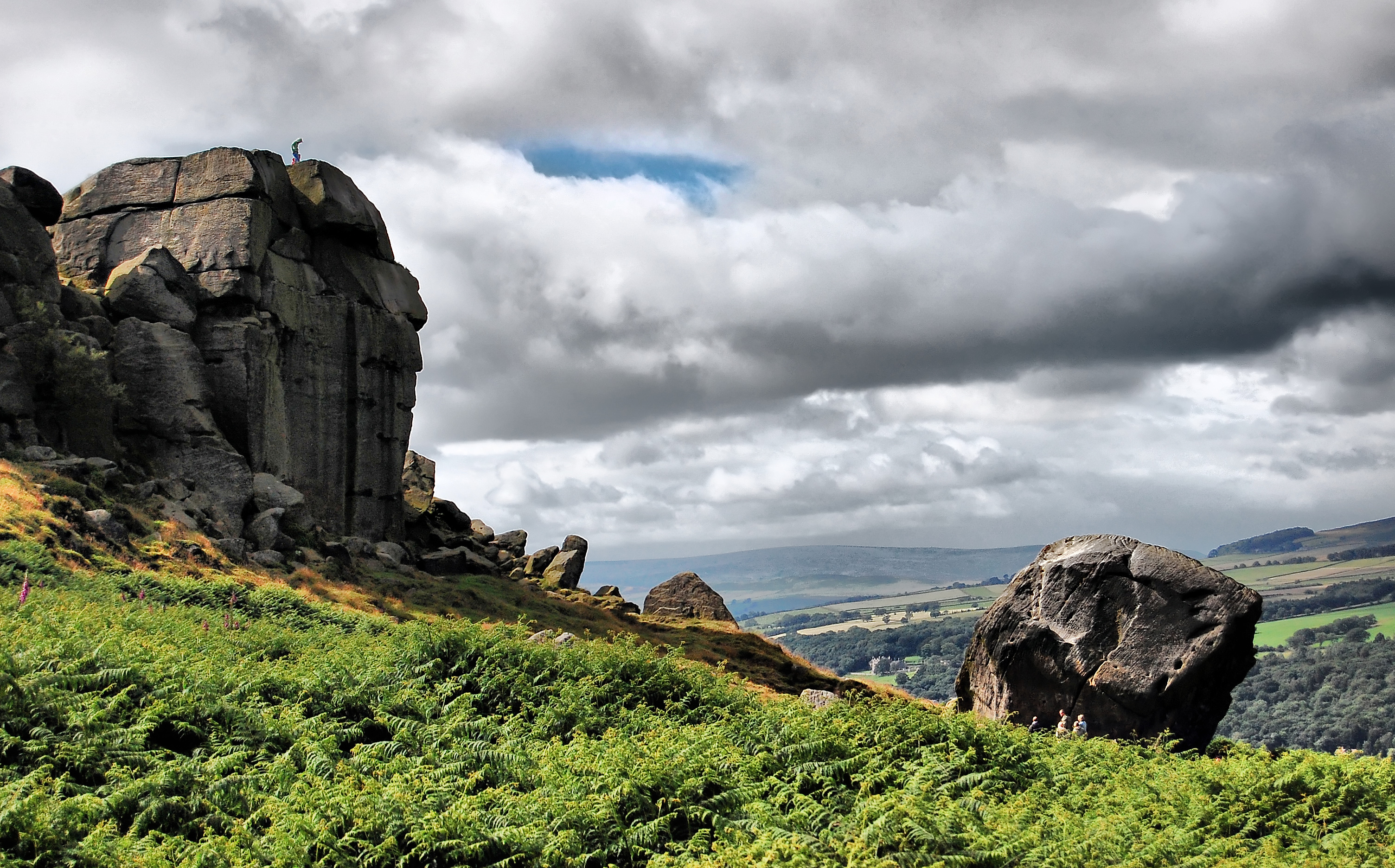
Badger Stone, located in Yorkshire, England, is a significant heritage site that holds historical and cultural importance. This ancient monument is a standing stone, also known as a menhir, which dates back to the Bronze Age, making it over 4,000 years old.

The stone is composed of millstone grit, a type of coarse sandstone, and stands at an impressive height of approximately 3 meters. It is believed to have been erected as a marker or boundary stone, possibly signifying territorial divisions or religious significance during ancient times.

Badger Stone is situated on a hillside, offering stunning panoramic views of the surrounding countryside. Its remote location adds to its mystique and allure, as visitors are transported back in time to a bygone era. The stone is also surrounded by a small circular arrangement of smaller stones, known as a cairn, which is thought to have acted as a burial site or ceremonial area.

Over the years, Badger Stone has attracted numerous archaeologists, historians, and curious visitors who are fascinated by its ancient origins. Its survival through centuries of weathering and human activities is a testament to its durability and enduring legacy.

Today, Badger Stone is protected as a scheduled ancient monument, ensuring its preservation for future generations. It provides a glimpse into the rich history and heritage of the region, allowing visitors to connect with the past and appreciate the ancient traditions and beliefs of our ancestors.

If you have any feedback on the listing, please let us know in the comments section below.

Badger Stone Images

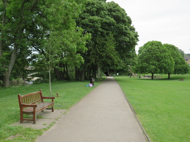
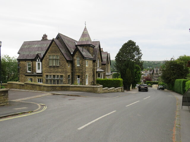
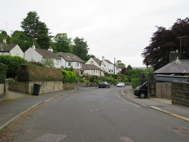
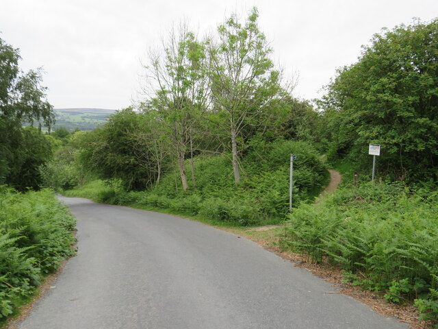
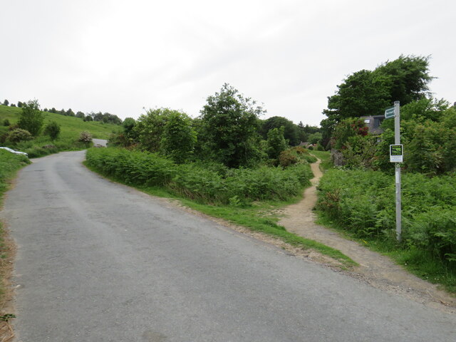
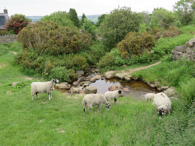
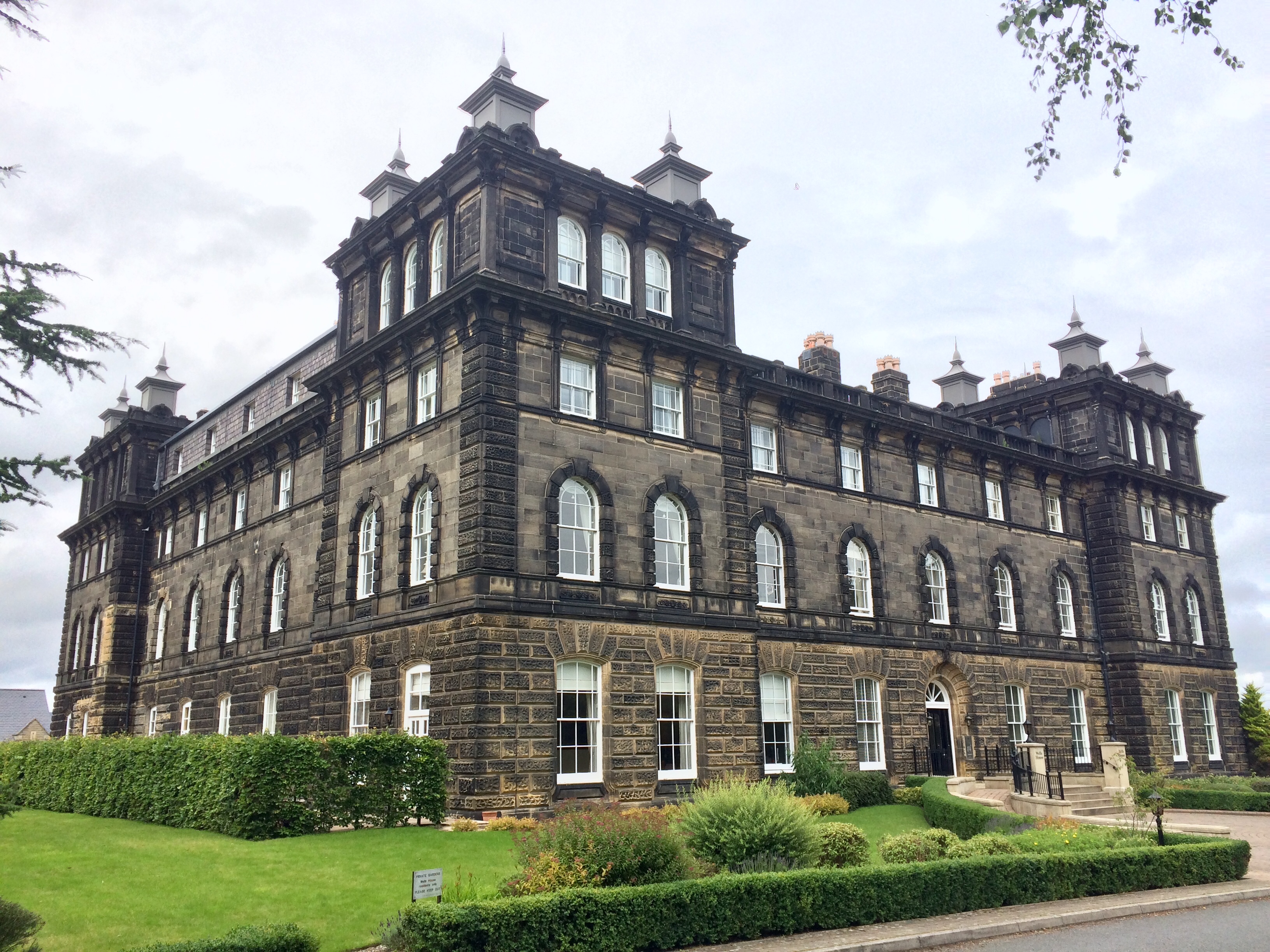
Images are sourced within 2km of 53.913/-1.825 or Grid Reference SE1146. Thanks to Geograph Open Source API. All images are credited.

The Dalesway, Ilkley At the junction of Leeds Road and New Brook Street.
The Dalesway, Ilkley
At the junction of Leeds Road and New Brook Street.
Ilkley town centre The junction of Brook Street and Station Road.
Ilkley town centre
The junction of Brook Street and Station Road.
White Wells view The view from White Wells looking over Ilkley.
White Wells view
The view from White Wells looking over Ilkley.
Panorama Rocks, Ilkley Re-located boulders with Cup & Ring marked Rocks saved from Victorian development.
Panorama Rocks, Ilkley
Re-located boulders with Cup & Ring marked Rocks saved from Victorian development.
Ilkley Old Bridge over the River Wharfe
Ilkley Cinema Ilkley Cinema, with a furnishings shop along the ground floor.
Ilkley Cinema
Ilkley Cinema, with a furnishings shop along the ground floor.
Leeds Road, Ilkley A row of houses on Leeds Road in Ilkley.  This road is on the route of the A65.
Leeds Road, Ilkley
A row of houses on Leeds Road in Ilkley. This road is on the route of the A65.
Back alley in Ilkley A back alley behind a terrace of houses in Ilkley.
Back alley in Ilkley
A back alley behind a terrace of houses in Ilkley.
Ash Grove, Ilkley Ash Grove is a residential road with terraced houses in the town of Ilkley in West Yorkshire.
Ash Grove, Ilkley
Ash Grove is a residential road with terraced houses in the town of Ilkley in West Yorkshire.
Path and back alley, Ilkley A public footpath to the left and a back alley to the right, in the town of Ilkley in West Yorkshire.
Path and back alley, Ilkley
A public footpath to the left and a back alley to the right, in the town of Ilkley in West Yorkshire.
River Wharfe, Ilkley A view of the River Wharfe looking upstream, as it flows through Ilkley.
River Wharfe, Ilkley
A view of the River Wharfe looking upstream, as it flows through Ilkley.
River Wharfe, Ilkley A view of the River Wharfe as it flows through the town of Ilkley in West Yorkshire.
River Wharfe, Ilkley
A view of the River Wharfe as it flows through the town of Ilkley in West Yorkshire.
Riverside Gardens, Ilkley Riverside Gardens is a park in Ilkley, in West Yorkshire.  As its name suggests, it is located on the ban of the River Wharfe which is visible to the left, through the trees.

The path forms part of the route of the Ebor Way long distance path, which stretches from Ilkley through York to Helmsley in the North Yorkshire Moors.
Riverside Gardens, Ilkley
Riverside Gardens is a park in Ilkley, in West Yorkshire. As its name suggests, it is located on the ban of the River Wharfe which is visible to the left, through the trees. The path forms part of the route of the Ebor Way long distance path, which stretches from Ilkley through York to Helmsley in the North Yorkshire Moors.
Parish Ghyll Road, Ilkley Parish Ghyll Road is a residential road on a hillside in Ilkley, in West Yorkshire.
Parish Ghyll Road, Ilkley
Parish Ghyll Road is a residential road on a hillside in Ilkley, in West Yorkshire.
Princess Road, Ilkley Princess Road is a residential road in Ilkley, in West Yorkshire.
Princess Road, Ilkley
Princess Road is a residential road in Ilkley, in West Yorkshire.
Keighley Road, Ilkley Moor Keighley Road would once have been a through road across Ilkley Moor, linking the towns of Ilkley and Keighley.  It is no longer a through road, but leads onto Ilkley Moor,

A public footpath leads off to the right.

Ilkley Moor is itself part of Rombalds Moor.
Keighley Road, Ilkley Moor
Keighley Road would once have been a through road across Ilkley Moor, linking the towns of Ilkley and Keighley. It is no longer a through road, but leads onto Ilkley Moor, A public footpath leads off to the right. Ilkley Moor is itself part of Rombalds Moor.
Keighley Road, Ilkley Moor Keighley Road would once have been a through road across Ilkley Moor, linking the towns of Ilkley and Keighley.  It is now a no through road, leading only onto Ilkley Moor.  Ilkley Moor is itself part of Rombalds Moor.

The path leading off to the right forms part of the route of Bradford's Millennium Way circular walk.
Keighley Road, Ilkley Moor
Keighley Road would once have been a through road across Ilkley Moor, linking the towns of Ilkley and Keighley. It is now a no through road, leading only onto Ilkley Moor. Ilkley Moor is itself part of Rombalds Moor. The path leading off to the right forms part of the route of Bradford's Millennium Way circular walk.
Sheep grazing on Ilkley Moor Three rams and a sheep grazing on Ilkley Moor.
Sheep grazing on Ilkley Moor
Three rams and a sheep grazing on Ilkley Moor.
Show me another place!

Badger Stone is located at Grid Ref: SE1146 (Lat: 53.913, Lng: -1.825)

Division: West Riding

Unitary Authority: Bradford

Police Authority: West Yorkshire

What 3 Words

///bleaching.painted.fortnight. Near Ilkley, West Yorkshire

Related Wikis

White Wells

White Wells is a spa bath on Ilkley Moor in West Yorkshire, England. White Wells was built around 1700 at the back of the current Spa Cottage as an open...

Ilkley Moor

Ilkley Moor is part of Rombalds Moor, the moorland between Ilkley and Keighley in West Yorkshire, England. The moor, which rises to 402 m (1,319 ft) above...

Wells House, Ilkley

Wells House is a large former hydropathic establishment and hotel in Ilkley, West Yorkshire, England, now used as private apartments. It was built in 1854...

Nebstone

The Nebstone is a notable rock found close to the Swastika Stone on the northern edge of Ilkley Moor in West Yorkshire, England. It has the appearance...

Nearby Amenities

Located within 500m of 53.913,-1.825
Ford: yes
Lat/Long: 53.9170015/-1.8248068
Barmishaw Hole
Place: locality
Lat/Long: 53.9139245/-1.8276687
Barmishaw Well (covered)
Lat/Long: 53.9152683/-1.8281329
Bench
Lat/Long: 53.9169558/-1.8218645
Bench
Lat/Long: 53.9169786/-1.8217384
Bench
Lat/Long: 53.9170108/-1.8215881
Willy Hall's Spout
Waterway: waterfall
Lat/Long: 53.9169478/-1.824829
Bench
Lat/Long: 53.9165499/-1.8213822
Tourism: viewpoint
Lat/Long: 53.9169761/-1.8218113
Ford: stepping_stones
Lat/Long: 53.9169845/-1.8248139
Bench
Backrest: yes
Lat/Long: 53.9169433/-1.8214729
Bench
Lat/Long: 53.9165728/-1.8213347
Bench
Lat/Long: 53.9165787/-1.8212747
Bench
Lat/Long: 53.916571/-1.8212086
Direction: 20
Tourism: viewpoint
Lat/Long: 53.9165847/-1.8212981
The data included in this document is from www.openstreetmap.org. The data is made available under ODbL.

Have you been to Badger Stone?

Leave your review of Badger Stone below (or comments, questions and feedback).