Ashgill Force

Waterfall in Cumberland Eden

England

Ashgill Force

Pennine Way descending towards Garrigill The roofs of houses in Garrigill can be seen close to the centre of the image.
The hill dome in the distance lies beyond the valley of the River South Tyne and is named vaguely on OS Maps as (part of ) Alston Moor, and / or as Middle Fell.
Pennine Way descending towards Garrigill Credit: Trevor Littlewood

Ashgill Force is a stunning waterfall located in the county of Cumberland, England. It is situated in the North Pennines Area of Outstanding Natural Beauty, near the small village of Alston. The waterfall is renowned for its beauty and is a popular tourist attraction.

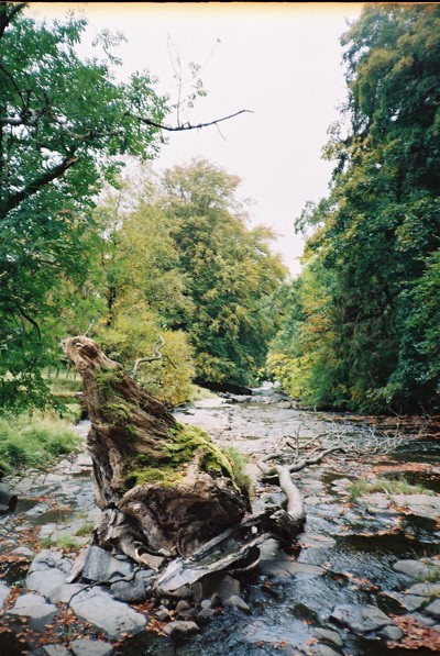
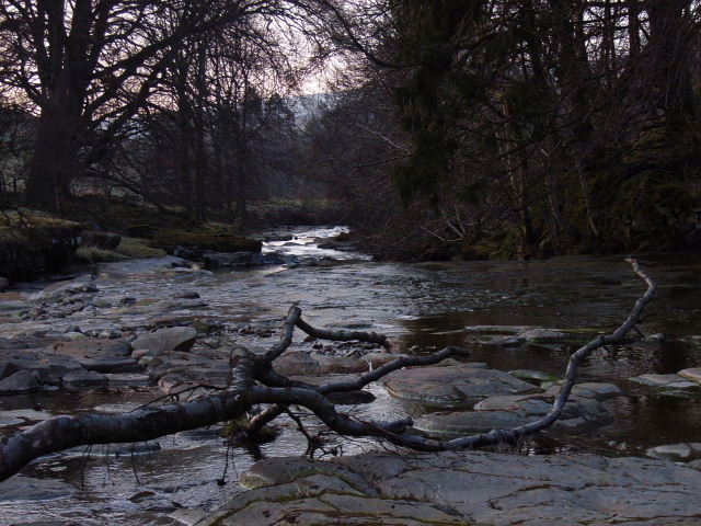
Ashgill Force is formed by the Ash Gill Beck, a stream that cascades down a series of rocky steps, creating a spectacular display of rushing water. The height of the waterfall is approximately 12 meters (39 feet), making it an impressive sight to behold.

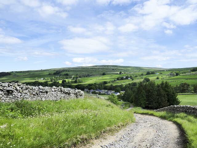
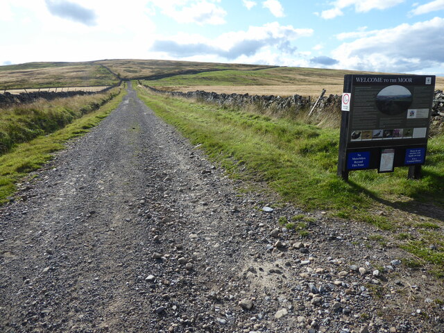
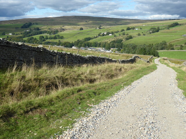
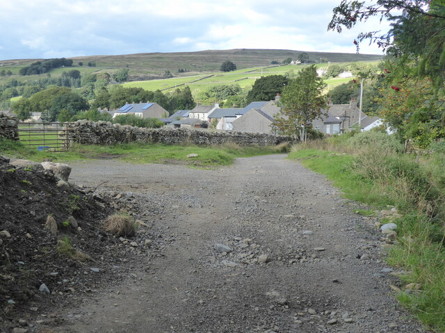
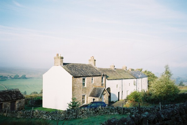
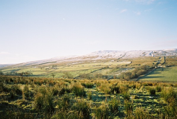
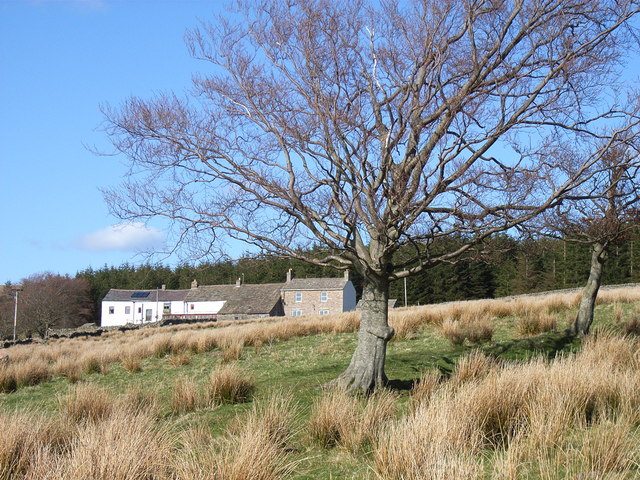
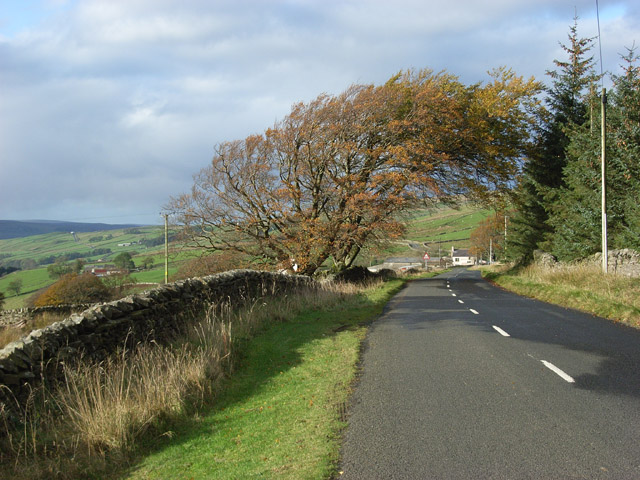
The surrounding landscape is characterized by lush greenery, rocky outcrops, and a tranquil atmosphere. Visitors can enjoy a leisurely walk through the picturesque countryside, following the footpath that leads to the waterfall. The route offers breathtaking views of the surrounding hills and valleys.

Ashgill Force is particularly captivating after a heavy rainfall, as the water flow increases, intensifying the beauty and power of the cascade. The waterfall is surrounded by moss-covered rocks and ferns, creating a serene and enchanting atmosphere.

The site is well-maintained, with a designated viewing area and safety railings to ensure the safety of visitors. There is also a small car park nearby for convenience.

Overall, Ashgill Force is a must-visit destination for nature lovers and those seeking a peaceful retreat. The combination of its natural beauty, tranquil surroundings, and accessibility make it a popular spot for both locals and tourists alike.

If you have any feedback on the listing, please let us know in the comments section below.

Ashgill Force Images

Images are sourced within 2km of 54.758657/-2.3763571 or Grid Reference NY7540. Thanks to Geograph Open Source API. All images are credited.

Pennine Way descending towards Garrigill The roofs of houses in Garrigill can be seen close to the centre of the image.
The hill dome in the distance lies beyond the valley of the River South Tyne and is named vaguely on OS Maps as (part of ) Alston Moor, and / or as Middle Fell.
Pennine Way descending towards Garrigill
The roofs of houses in Garrigill can be seen close to the centre of the image. The hill dome in the distance lies beyond the valley of the River South Tyne and is named vaguely on OS Maps as (part of ) Alston Moor, and / or as Middle Fell.
The Old Fox The house with the brown door was once a pub; The Fox. It closed apparently in the 1930s but as late as the 1980s the name lettering and other detail could still be discerned on the wall despite coats of paint and rendering - <a title="https://www.geograph.org.uk/photo/6725477" href="https://www.geograph.org.uk/photo/6725477">Link</a> .
The Old Fox
The house with the brown door was once a pub; The Fox. It closed apparently in the 1930s but as late as the 1980s the name lettering and other detail could still be discerned on the wall despite coats of paint and rendering - Link .
The Pennine Way near Crossgill Farm
The Pennine Way near Garrigill
The Pennine Way at Garrigill
Lane leading N into Garrigill
High Ashgill
High Ashgill
River South Tyne
River South Tyne
Hill House
Hill House
Noonstones Hill The view across the South Tyne valley from High Ashgill.
Noonstones Hill
The view across the South Tyne valley from High Ashgill.
River South Tyne From the footbridge on the footpath between High Ashgill and West Ashgill.
River South Tyne
From the footbridge on the footpath between High Ashgill and West Ashgill.
Green Hill A green oasis in largely brownish surroundings. Looking along the South Tyne valley beyond.
Green Hill
A green oasis in largely brownish surroundings. Looking along the South Tyne valley beyond.
A large trough near Green Hill Track climbing from Reckersgill Sike.
A large trough near Green Hill
Track climbing from Reckersgill Sike.
High Ashgill House and attached longbarn conversion.
High Ashgill
House and attached longbarn conversion.
River South Tyne The river, shallow here, tumbles over rapids and small waterfalls.
River South Tyne
The river, shallow here, tumbles over rapids and small waterfalls.
Cross Gill The gill, here flowing in the left of the picture, has two channels at this point. The western one has currently nothing flowing in it but a lagoon remaining from when water levels were higher.
Cross Gill
The gill, here flowing in the left of the picture, has two channels at this point. The western one has currently nothing flowing in it but a lagoon remaining from when water levels were higher.
The B6277 Looking down to Ashgill Farm from High Ashgill.
The B6277
Looking down to Ashgill Farm from High Ashgill.
Show me another place!

Ashgill Force is located at Grid Ref: NY7540 (Lat: 54.758657, Lng: -2.3763571)

Administrative County: Cumbria

District: Eden

Police Authority: Cumbria

What 3 Words

///clockwork.issues.assets. Near Alston, Cumbria

Nearby Locations

Slack's Wood Ashgill Force

Related Wikis

Ashgill Force

Ashgill Force is a waterfall near Alston, Cumbria, England. The fall is located on Ashgill Beck and is reasonably easily accessible from the B6277 (which...
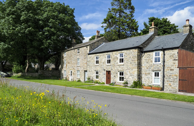
Garrigill

Garrigill, Cumbria is a small village in the North Pennine region of the UK, situated on the banks and close to the source of the River South Tyne. Historically...

Rampghill mine

Rampgill mine is a disused lead mine at Nenthead, Alston Moor, Cumbria, England UK Grid Reference: NY78184351It was one of the most extensive and productive...

Nenthead

Nenthead ( NENT-hed) in the county of Cumbria is one of England's highest villages, at around 1,437 feet (438 m). It was not built until the middle of...

Burnhope Seat

Burnhope Seat is a high moorland fell in the North Pennines Area of Outstanding Natural Beauty (AONB) in northern England. It lies between the heads of...

Moorhouse and Cross Fell

Moorhouse and Cross Fell is a Site of Special Scientific Interest covering an extensive area of moorland in the Wear Valley district of west County Durham...

Killhope Cross

Killhope Cross (elevation 627 m; 2,057 ft) is a mountain pass in the English Pennines. The pass divides Weardale to the east and Cumbria to the west. The...

Leadgate, Cumbria

Leadgate is a small hamlet located at the foot of Hartside Fell between the town of Alston and the village of Garrigill in the parish of Alston Moor in...

Nearby Amenities

Located within 500m of 54.758657,-2.3763571
Ashgillside
Place: hamlet
Lat/Long: 54.7582393/-2.3756688
Barrier: stile
Lat/Long: 54.7583474/-2.3761033
Barrier: cattle_grid
Lat/Long: 54.7609804/-2.3813367
Barrier: stile
Lat/Long: 54.7598815/-2.3824831
Ashgill Force
Waterway: waterfall
Wikidata: Q15637852
Wikipedia: en:Ashgill Force
Lat/Long: 54.7586777/-2.376236
Waterway: waterfall
Lat/Long: 54.7585342/-2.3780827
Waterway: waterfall
Lat/Long: 54.7586593/-2.3773167
Mid Ashgill
Place: locality
Lat/Long: 54.7552212/-2.3732986
Information: guidepost
Tourism: information
Lat/Long: 54.7553929/-2.3742826
Information: guidepost
Tourism: information
Lat/Long: 54.761456/-2.3805284
Barrier: stile
Material: wood
Stile: fence
Lat/Long: 54.7601124/-2.3829686
Barrier: stile
Material: stone
Stile: wall
Lat/Long: 54.7602139/-2.383212
Ford: yes
Lat/Long: 54.7562917/-2.3796423
Ford: yes
Lat/Long: 54.7562053/-2.3800339
Ford: yes
Lat/Long: 54.7622309/-2.3770402
Lime Kiln
Historic: lime_kiln
Lat/Long: 54.762627/-2.3763015
Generator Method: photovoltaic
Generator Output Electricity: yes
Generator Source: solar
Generator Type: solar_photovoltaic_panel
Location: roof
Power: generator
Lat/Long: 54.7554616/-2.3737918
Power: pole
Lat/Long: 54.7555576/-2.381986
Power: pole
Lat/Long: 54.7558588/-2.3806177
Power: pole
Lat/Long: 54.7561944/-2.3791504
Power: pole
Lat/Long: 54.7564285/-2.3780741
Power: pole
Lat/Long: 54.7566698/-2.3770473
Power: pole
Lat/Long: 54.7570368/-2.3754043
Power: pole
Lat/Long: 54.7572067/-2.373702
Power: pole
Lat/Long: 54.7573837/-2.3722694
Power: pole
Lat/Long: 54.7577064/-2.3696936
Power: pole
Lat/Long: 54.7578349/-2.3687039
Power: pole
Lat/Long: 54.7595432/-2.3829658
Power: pole
Lat/Long: 54.7590021/-2.3822433
Power: pole
Lat/Long: 54.7581897/-2.3811546
Power: pole
Lat/Long: 54.7571603/-2.3797443
The data included in this document is from www.openstreetmap.org. The data is made available under ODbL.

Have you been to Ashgill Force?

Leave your review of Ashgill Force below (or comments, questions and feedback).