Slack's Wood

Wood, Forest in Cumberland Eden

England

Slack's Wood

Pennine Way descending towards Garrigill The roofs of houses in Garrigill can be seen close to the centre of the image.
The hill dome in the distance lies beyond the valley of the River South Tyne and is named vaguely on OS Maps as (part of ) Alston Moor, and / or as Middle Fell.
Pennine Way descending towards Garrigill Credit: Trevor Littlewood

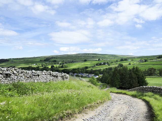
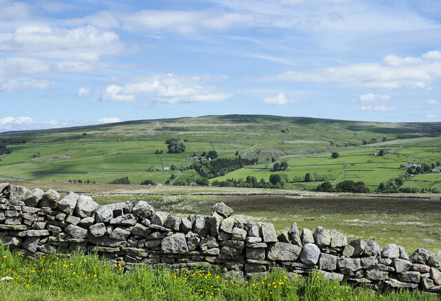
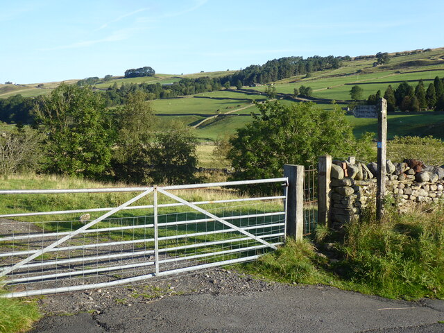
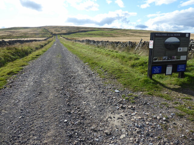
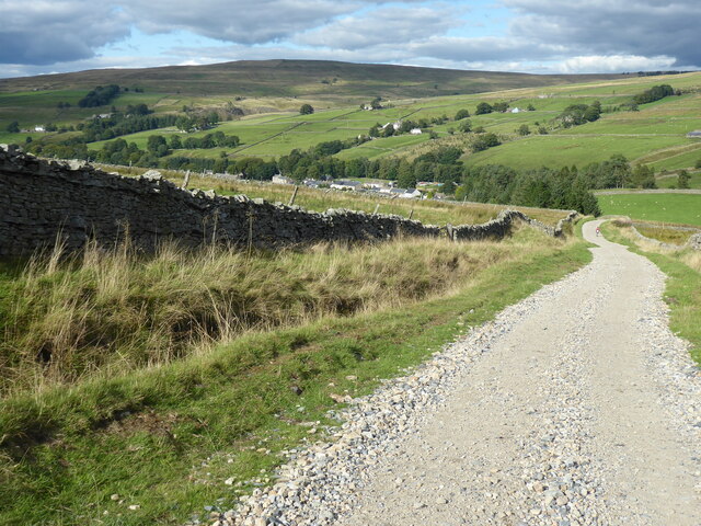
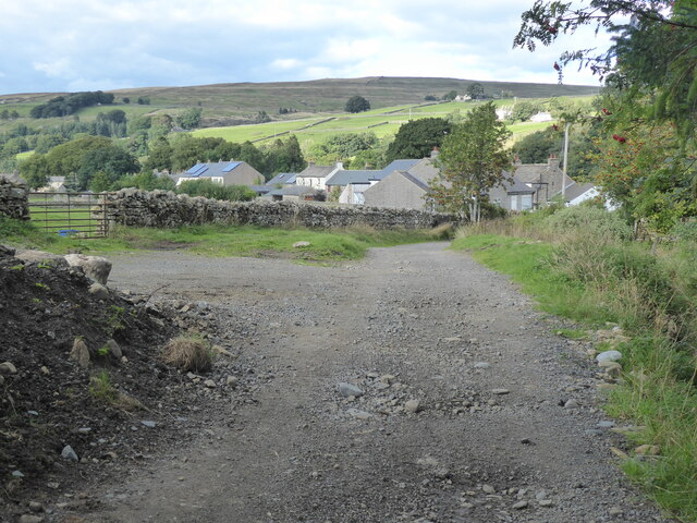
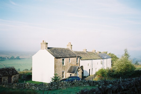
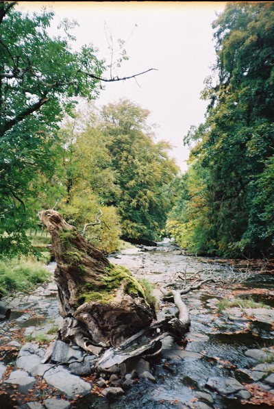
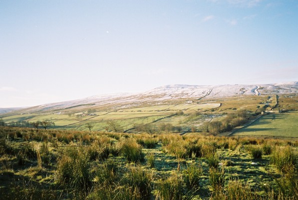
Slack's Wood is a picturesque forest located in the rural county of Cumberland, England. Spread over an area of approximately 100 acres, this woodland is known for its natural beauty and diverse ecosystem. It is situated on the outskirts of the charming village of Slack, nestled amidst rolling hills and lush green fields.

The woodland is predominantly comprised of a mix of deciduous and coniferous trees, including oak, beech, pine, and spruce. These trees create a dense canopy that provides ample shade and shelter for numerous wildlife species. It is not uncommon to spot native birds such as woodpeckers, owls, and various songbirds flitting amongst the branches.

Slack's Wood offers a network of well-maintained walking trails, allowing visitors to explore its enchanting landscapes at their own pace. The paths wind through the forest, revealing hidden nooks, babbling brooks, and vibrant wildflowers that flourish during spring and summer. There are also several designated picnic areas, where families and friends can relax and enjoy a meal amidst the serenity of nature.

The wood is managed by a local conservation group, who strive to maintain its ecological balance and preserve its natural heritage. They organize educational programs and nature walks to promote awareness and understanding of the forest's importance in the local ecosystem.

Slack's Wood is a haven for nature enthusiasts, photographers, and those seeking solace from the hectic pace of everyday life. Its tranquil atmosphere, coupled with its diverse flora and fauna, make it a truly remarkable destination for anyone seeking a connection with the wonders of the natural world.

If you have any feedback on the listing, please let us know in the comments section below.

Slack's Wood Images

Images are sourced within 2km of 54.756906/-2.3847472 or Grid Reference NY7540. Thanks to Geograph Open Source API. All images are credited.

Pennine Way descending towards Garrigill The roofs of houses in Garrigill can be seen close to the centre of the image.
The hill dome in the distance lies beyond the valley of the River South Tyne and is named vaguely on OS Maps as (part of ) Alston Moor, and / or as Middle Fell.
Pennine Way descending towards Garrigill
The roofs of houses in Garrigill can be seen close to the centre of the image. The hill dome in the distance lies beyond the valley of the River South Tyne and is named vaguely on OS Maps as (part of ) Alston Moor, and / or as Middle Fell.
Grassy moorland beyond dry stone wall The wall is on the north side of the road which carries the route of the Pennine Way. The moorland beyond it is named vaguely and broadly on OS maps as Alston Moor.
The hill dome in the distance lies beyond the valley of the River South Tyne and is also named vaguely on OS Maps as (part of ) Alston Moor, and / or as Middle Fell.
Grassy moorland beyond dry stone wall
The wall is on the north side of the road which carries the route of the Pennine Way. The moorland beyond it is named vaguely and broadly on OS maps as Alston Moor. The hill dome in the distance lies beyond the valley of the River South Tyne and is also named vaguely on OS Maps as (part of ) Alston Moor, and / or as Middle Fell.
The Old Fox The house with the brown door was once a pub; The Fox. It closed apparently in the 1930s but as late as the 1980s the name lettering and other detail could still be discerned on the wall despite coats of paint and rendering - <a title="https://www.geograph.org.uk/photo/6725477" href="https://www.geograph.org.uk/photo/6725477">Link</a> .
The Old Fox
The house with the brown door was once a pub; The Fox. It closed apparently in the 1930s but as late as the 1980s the name lettering and other detail could still be discerned on the wall despite coats of paint and rendering - Link .
The Pennine Way near Garrigill
The Pennine Way near Crossgill Farm
The Pennine Way near Garrigill
The Pennine Way at Garrigill
Lane leading N into Garrigill
High Ashgill
High Ashgill
River South Tyne
River South Tyne
Hill House
Hill House
Noonstones Hill The view across the South Tyne valley from High Ashgill.
Noonstones Hill
The view across the South Tyne valley from High Ashgill.
River South Tyne From the footbridge on the footpath between High Ashgill and West Ashgill.
River South Tyne
From the footbridge on the footpath between High Ashgill and West Ashgill.
Cross Gill Cross Gill is an important tributary of the South Tyne, draining a large area to the east of Cross Fell.
Cross Gill
Cross Gill is an important tributary of the South Tyne, draining a large area to the east of Cross Fell.
Green Hill A green oasis in largely brownish surroundings. Looking along the South Tyne valley beyond.
Green Hill
A green oasis in largely brownish surroundings. Looking along the South Tyne valley beyond.
A large trough near Green Hill Track climbing from Reckersgill Sike.
A large trough near Green Hill
Track climbing from Reckersgill Sike.
High Ashgill House and attached longbarn conversion.
High Ashgill
House and attached longbarn conversion.
Show me another place!

Slack's Wood is located at Grid Ref: NY7540 (Lat: 54.756906, Lng: -2.3847472)

Administrative County: Cumbria

District: Eden

Police Authority: Cumbria

What 3 Words

///witty.treatable.liberty. Near Alston, Cumbria

Nearby Locations

Slack's Wood Ashgill Force

Related Wikis

Ashgill Force

Ashgill Force is a waterfall near Alston, Cumbria, England. The fall is located on Ashgill Beck and is reasonably easily accessible from the B6277 (which...

Garrigill

Garrigill, Cumbria is a small village in the North Pennine region of the UK, situated on the banks and close to the source of the River South Tyne. Historically...

Burnhope Seat

Burnhope Seat is a high moorland fell in the North Pennines Area of Outstanding Natural Beauty (AONB) in northern England. It lies between the heads of...

Rampghill mine

Rampgill mine is a disused lead mine at Nenthead, Alston Moor, Cumbria, England UK Grid Reference: NY78184351It was one of the most extensive and productive...

Nenthead

Nenthead ( NENT-hed) in the county of Cumbria is one of England's highest villages, at around 1,437 feet (438 m). It was not built until the middle of...

Moorhouse and Cross Fell

Moorhouse and Cross Fell is a Site of Special Scientific Interest covering an extensive area of moorland in the Wear Valley district of west County Durham...

Killhope Cross

Killhope Cross (elevation 627 m; 2,057 ft) is a mountain pass in the English Pennines. The pass divides Weardale to the east and Cumbria to the west. The...

Leadgate, Cumbria

Leadgate is a small hamlet located at the foot of Hartside Fell between the town of Alston and the village of Garrigill in the parish of Alston Moor in...

Nearby Amenities

Located within 500m of 54.756906,-2.3847472
Barrier: stile
Lat/Long: 54.7598815/-2.3824831
Waterway: waterfall
Lat/Long: 54.7585342/-2.3780827
Barrier: stile
Material: wood
Stile: fence
Lat/Long: 54.7601124/-2.3829686
Barrier: stile
Lat/Long: 54.7604467/-2.3838016
Abandoned: yes
Man Made: mineshaft
Lat/Long: 54.753126/-2.3885436
Barrier: stile
Material: stone
Stile: wall
Lat/Long: 54.7602139/-2.383212
Generator Method: photovoltaic
Generator Output Electricity: yes
Generator Source: solar
Generator Type: solar_photovoltaic_panel
Location: roof
Power: generator
Lat/Long: 54.7602668/-2.383791
Ford: yes
Lat/Long: 54.7562917/-2.3796423
Ford: yes
Lat/Long: 54.7562053/-2.3800339
Power: pole
Lat/Long: 54.7527389/-2.3831489
Power: pole
Lat/Long: 54.7538227/-2.3840347
Power: pole
Lat/Long: 54.7559017/-2.3856752
Power: pole
Lat/Long: 54.7549048/-2.3848886
Power: pole
Lat/Long: 54.7552791/-2.3832083
Power: pole
Lat/Long: 54.7555576/-2.381986
Power: pole
Lat/Long: 54.7558588/-2.3806177
Power: pole
Lat/Long: 54.7561944/-2.3791504
Power: pole
Lat/Long: 54.7564285/-2.3780741
Power: pole
Lat/Long: 54.7566698/-2.3770473
Power: pole
Lat/Long: 54.7566798/-2.3862789
Power: pole
Lat/Long: 54.7572724/-2.3869494
Power: pole
Lat/Long: 54.7581876/-2.3880109
Power: pole
Lat/Long: 54.7588115/-2.388726
Power: pole
Lat/Long: 54.7594154/-2.3894064
Power: pole
Lat/Long: 54.7595432/-2.3829658
Power: pole
Lat/Long: 54.7590021/-2.3822433
Power: pole
Lat/Long: 54.7581897/-2.3811546
Power: pole
Lat/Long: 54.7571603/-2.3797443
The data included in this document is from www.openstreetmap.org. The data is made available under ODbL.

Have you been to Slack's Wood?

Leave your review of Slack's Wood below (or comments, questions and feedback).