Fairy Loup
Waterfall in Dumfriesshire
Scotland
Fairy Loup
Fairy Loup is a mesmerizing waterfall located in Dumfriesshire, Scotland. Situated in a secluded area, it is surrounded by lush green forests and offers a serene retreat for nature lovers and adventure seekers alike.
The waterfall boasts a height of approximately 30 feet, with water cascading down a series of rocky ledges, creating a beautiful and powerful display. The name "Fairy Loup" is derived from the Scottish word "loup," meaning a leap or jump, which perfectly describes the energetic nature of the waterfall.
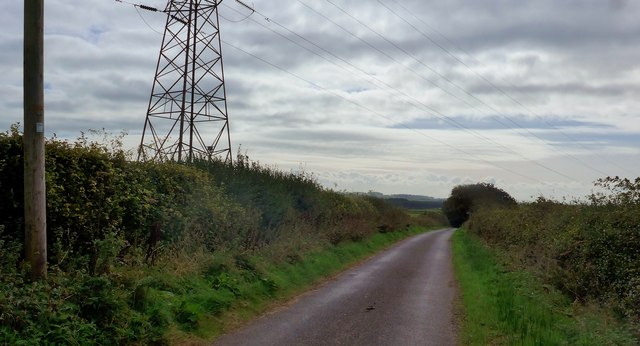
Accessing Fairy Loup requires a short hike through the enchanting woods, adding to the sense of adventure and discovery. The path is well-maintained, but visitors are advised to wear appropriate footwear and exercise caution, as some sections can be slippery.
Once at the waterfall, visitors are treated to a breathtaking sight. The foaming water gushes down the rocks, creating a misty spray in the air. The lush greenery surrounding the waterfall adds to its natural beauty, creating a picture-perfect scene.
Fairy Loup is not only a visual delight but also a haven for wildlife. The surrounding area is home to a variety of bird species, including dippers and kingfishers, which can often be spotted darting around the waterfall. Lucky visitors may even catch a glimpse of red squirrels and roe deer that inhabit the woods.
Overall, Fairy Loup is a hidden gem in Dumfriesshire, offering a peaceful and picturesque escape for those seeking a connection with nature and a chance to witness the raw power of a stunning waterfall.
If you have any feedback on the listing, please let us know in the comments section below.
Fairy Loup Images
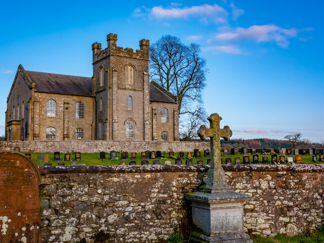
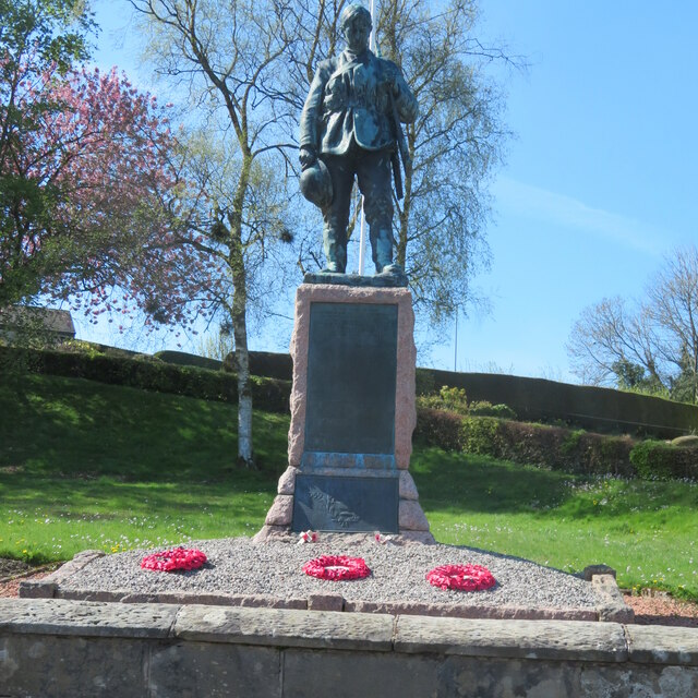
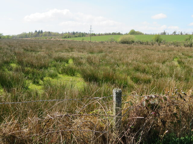
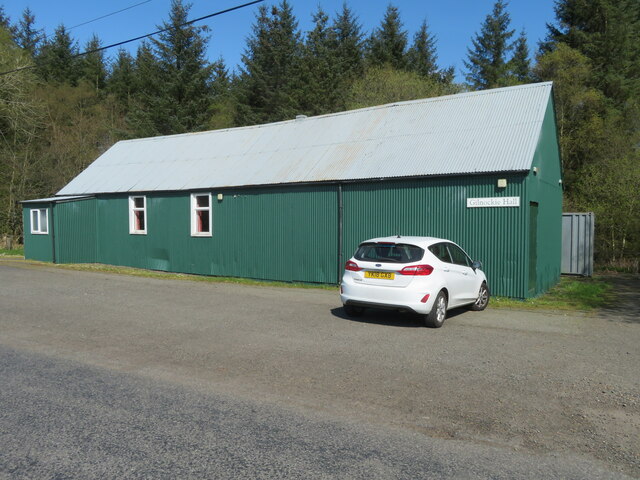
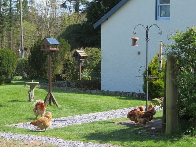
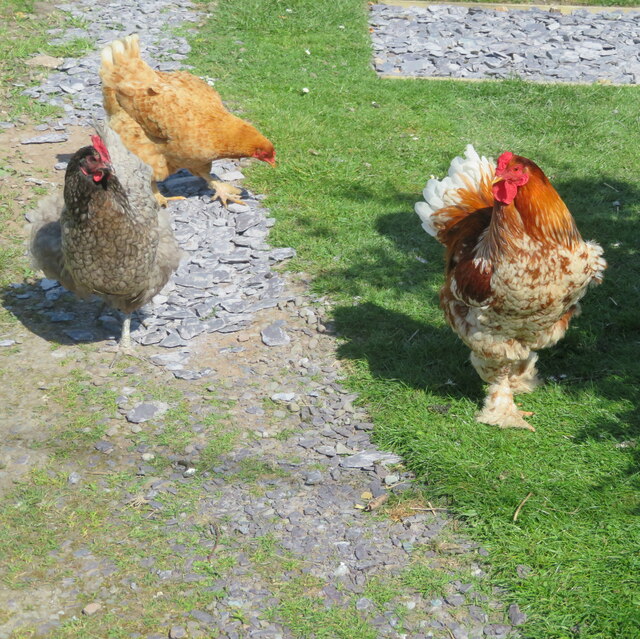
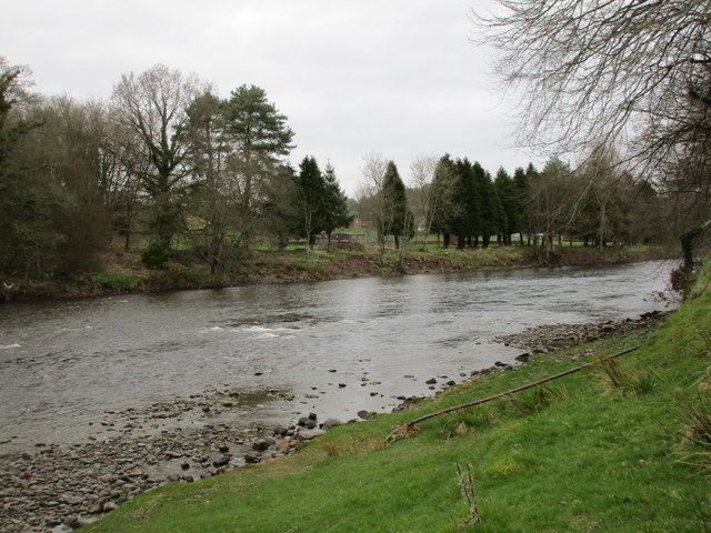
Images are sourced within 2km of 55.094907/-2.9504807 or Grid Reference NY3978. Thanks to Geograph Open Source API. All images are credited.
Fairy Loup is located at Grid Ref: NY3978 (Lat: 55.094907, Lng: -2.9504807)
Unitary Authority: Dumfries and Galloway
Police Authority: Dumfries and Galloway
What 3 Words
///tango.plodded.specifies. Near Langholm, Dumfries & Galloway
Nearby Locations
Related Wikis

Fairy Loup
Fairy Loup is a waterfall located on Byre Burn, a tributary of River Esk, in Dumfries and Galloway, Scotland.The waterfall's name originates in a local...

Gilnockie railway station
Gilnockie railway station served the hamlet of Hollows, Dumfries and Galloway, Scotland from 1864 to 1967 on the Border Union Railway. == History == The...
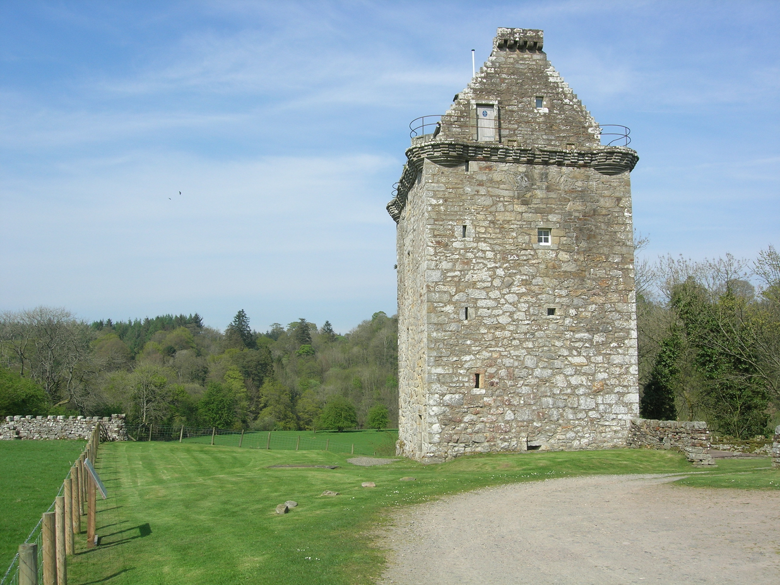
Gilnockie Tower
Gilnockie Tower is a 16th-century tower house, located at the hamlet of Hollows, 2.3 km north of Canonbie, in Dumfriesshire, south-west Scotland. The tower...
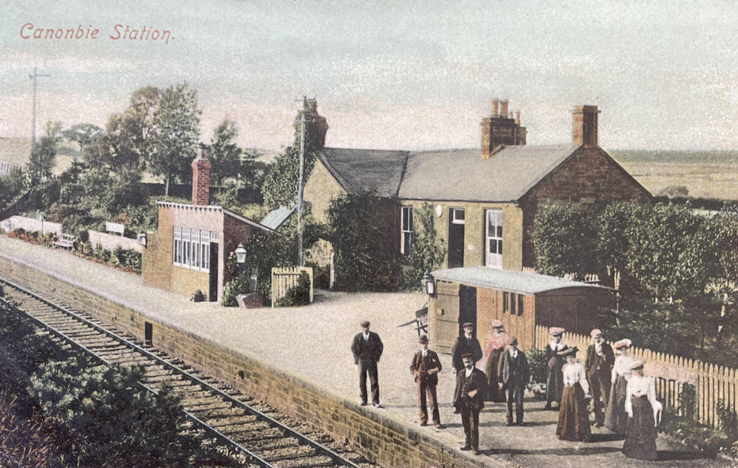
Canonbie railway station
Canonbie railway station served the village of Canonbie, Dumfries and Galloway, Scotland from 1862 to 1967 on the Border Union Railway. == History == The...
Canonbie Coalfield
The Canonbie Coalfield is a small and largely concealed coalfield at Canonbie in the south of Scotland. A comprehensive survey by Peach and Horne was published...
Glencartholm
Glencartholm is a location in Dumfries and Galloway, southern Scotland, along the River Esk.The Glencartholm Volcanic Beds contain a Palaeozoic (specifically...
Rowanburn
Rowanburn is a hamlet in Eskdale, Dumfries and Galloway, Scotland. Located near Canonbie, it sits around 5 miles south-east of Langholm and about a mile...
Canonbie
Canonbie (Scottish Gaelic: Canonbaidh) is a small village in Dumfriesshire within the local authority area of Dumfries and Galloway in Scotland, 6 miles...
Nearby Amenities
Located within 500m of 55.094907,-2.9504807Have you been to Fairy Loup?
Leave your review of Fairy Loup below (or comments, questions and feedback).