Linn of Tanar
Waterfall in Aberdeenshire
Scotland
Linn of Tanar

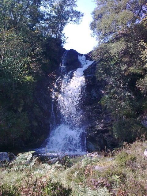
Linn of Tanar is a picturesque waterfall located in Aberdeenshire, Scotland. Nestled within the stunning Cairngorms National Park, it is a popular destination for nature enthusiasts and hikers alike.
The waterfall is formed by the River Tanar as it cascades over a series of granite cliffs, creating a breathtaking and dramatic display of nature's power. The water plunges into a deep pool below, surrounded by lush greenery and towering trees, adding to the beauty of the landscape.
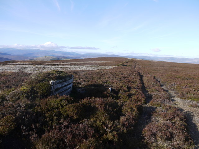
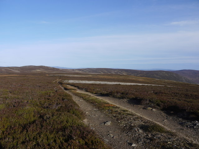
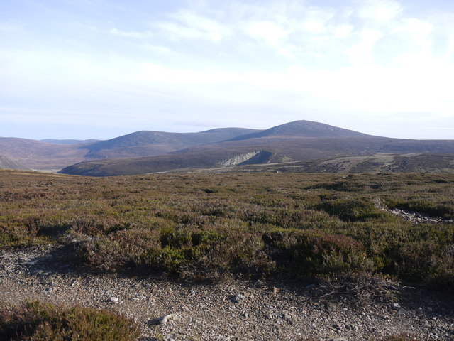
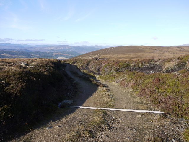
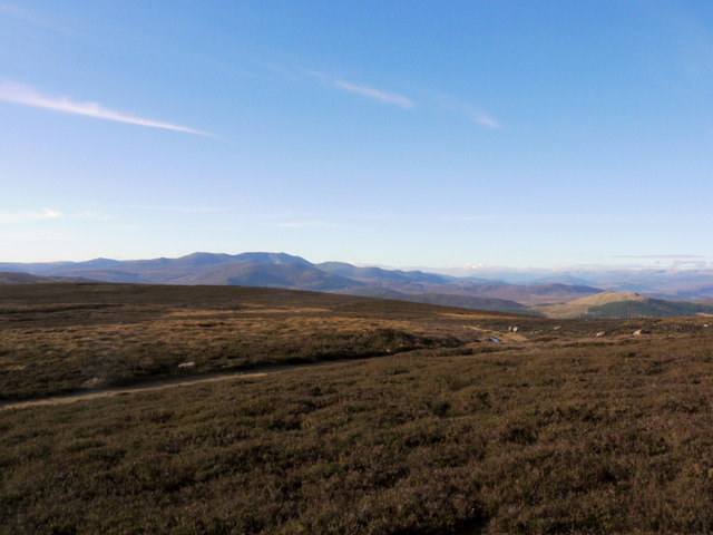
Access to Linn of Tanar is fairly easy, with a well-maintained path leading visitors from the nearby car park to the waterfall. The path meanders through ancient woodland, offering glimpses of wildlife and providing a tranquil atmosphere. Along the way, there are several viewpoints that allow visitors to admire the waterfall from different angles and capture stunning photographs.
Linn of Tanar is not only a natural wonder but also holds historical significance. The area is rich in archaeological remains, including Bronze Age cairns and stone circles, which provide a glimpse into the region's ancient past.
Visitors to Linn of Tanar can enjoy a peaceful picnic or simply take in the serene surroundings. The waterfall is particularly enchanting during the spring and summer months when the surrounding vegetation is in full bloom. With its idyllic setting and captivating beauty, Linn of Tanar is a must-visit destination for anyone exploring the Aberdeenshire region.
If you have any feedback on the listing, please let us know in the comments section below.
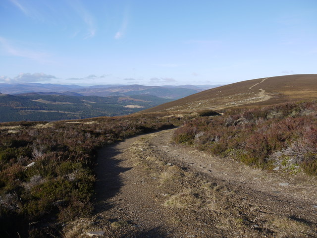
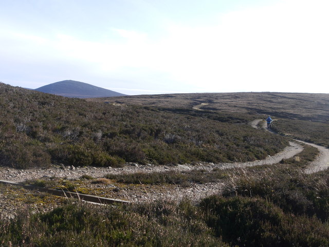
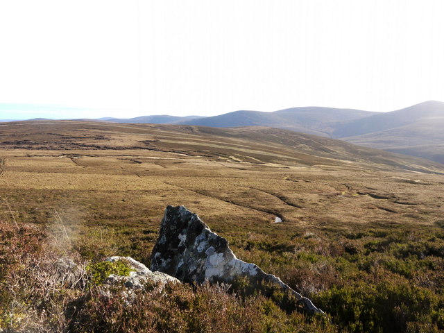
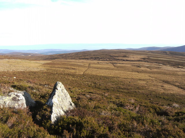
Linn of Tanar Images
Images are sourced within 2km of 56.988167/-3.0096303 or Grid Reference NO3889. Thanks to Geograph Open Source API. All images are credited.


Linn of Tanar is located at Grid Ref: NO3889 (Lat: 56.988167, Lng: -3.0096303)
Unitary Authority: Aberdeenshire
Police Authority: North East
What 3 Words
///ruled.comply.votes. Near Ballater, Aberdeenshire
Nearby Locations
Related Wikis

Mount Keen
Mount Keen (Scottish Gaelic: Monadh Caoin) is a 939-metre-high (3,081 ft) mountain in Scotland and the most easterly Munro. It can be accessed from several...

Kincardine and Deeside
Kincardine and Deeside was formerly (1975–96) a local government district in the Grampian Region of Scotland. In 1996 it was included in the Aberdeenshire...
Linn of Muick
Linn of Muick is a waterfall on the river Muick, Aberdeenshire, Scotland. == See also == Waterfalls of Scotland Media related to Linn of Muick at Wikimedia...
River Muick
River Muick () is a river of the Grampian Mountains of Aberdeenshire, Scotland. A tributary of the River Dee, it flows for about 6 kilometres (3.7 mi)...
Birkhall
Birkhall (from the Scots Birk Hauch: "Birch River-meadow") is a 210 km2 (52,000 acres) estate on Royal Deeside, Aberdeenshire, Scotland, owned by King...

Glenmuick
Glenmuick ( glen-MICK) is a glen and a former parish in Scotland. Places in the area include Birkhall, Culsh, Deecastle, Inchnabobart, and Spittal of Glenmuick...

Ballater
Ballater (, Scottish Gaelic: Bealadair) is a village in Aberdeenshire, Scotland, on the River Dee, immediately east of the Cairngorm Mountains. Situated...

Knock Castle, Aberdeenshire
Knock Castle is a ruined tower house in Aberdeenshire, north-east Scotland. It is typical of the traditional type of residence of a laird, a Scottish landed...
Nearby Amenities
Located within 500m of 56.988167,-3.0096303Have you been to Linn of Tanar?
Leave your review of Linn of Tanar below (or comments, questions and feedback).