Lin Mill Fall

Waterfall in Stirlingshire

Scotland

Lin Mill Fall

North-East Holehouse There are four houses on the lands of Holehouse, and this one is marked on the map as North-East Holehouse in spite of the fact that it is south-west of Holehouse! The land in the low ground in front of the house looks very rushy and is probably wet.
North-East Holehouse Credit: Anne Burgess

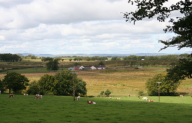
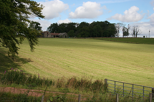
Lin Mill Fall is a picturesque waterfall located in Stirlingshire, Scotland. Situated near the village of Linlithgow, it is a popular tourist attraction renowned for its natural beauty and tranquil surroundings. The waterfall is accessible via a well-maintained footpath, which leads visitors through a scenic woodland area before reaching the cascading waters.

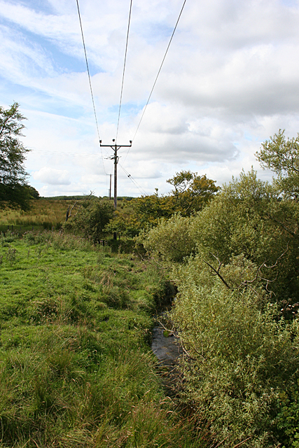
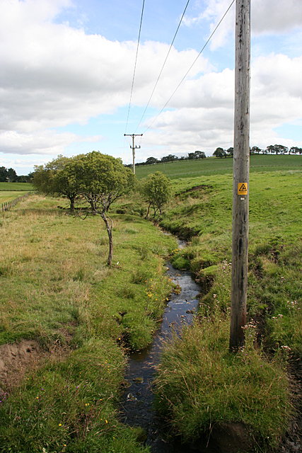
The falls are formed by the Avon Water, a river that flows through the region. As the river descends over a series of rocky ledges, it creates a stunning display of cascading water and mist. The height of Lin Mill Fall is approximately 10 meters, making it a relatively modest waterfall compared to others in the area. However, what it lacks in height, it more than makes up for in its charm and peaceful ambiance.

Surrounded by lush greenery and mature trees, Lin Mill Fall provides a tranquil escape from the hustle and bustle of everyday life. The area is rich in flora and fauna, with vibrant wildflowers adorning the banks of the river and various bird species inhabiting the trees. Visitors can take leisurely walks along the riverbank, enjoying the soothing sound of the rushing water and the refreshing mist that fills the air.

The waterfall is also a popular spot for photographers, who come to capture its natural beauty in different seasons. In the autumn, the surrounding trees transform into a vibrant array of red, orange, and yellow hues, creating a stunning backdrop for photographs. Overall, Lin Mill Fall is a captivating destination that offers visitors a chance to connect with nature and immerse themselves in the scenic beauty of Stirlingshire.

If you have any feedback on the listing, please let us know in the comments section below.

Lin Mill Fall Images

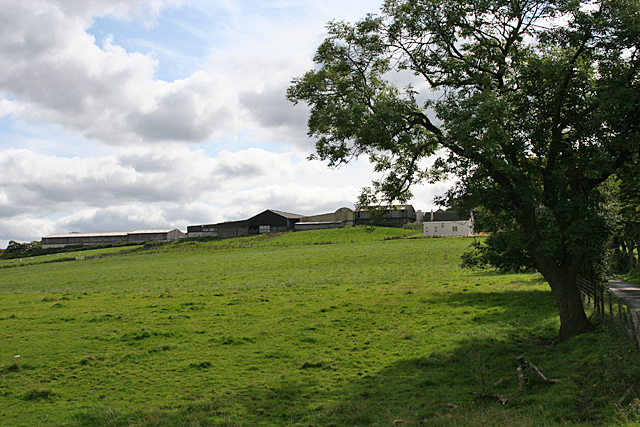
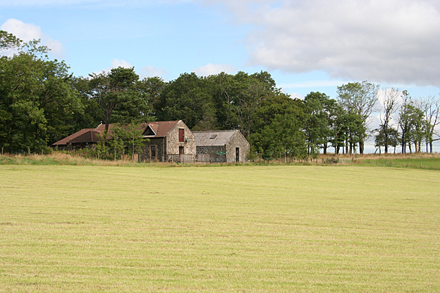
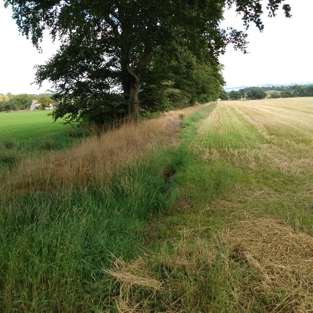
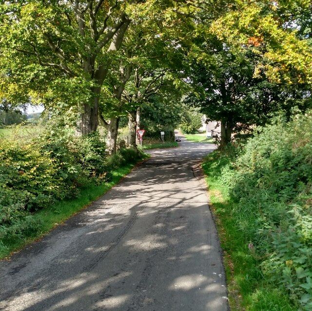
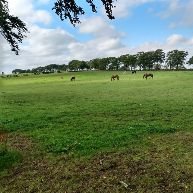
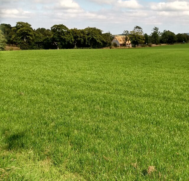
Images are sourced within 2km of 55.930758/-3.742297 or Grid Reference NS9172. Thanks to Geograph Open Source API. All images are credited.

North-East Holehouse There are four houses on the lands of Holehouse, and this one is marked on the map as North-East Holehouse in spite of the fact that it is south-west of Holehouse! The land in the low ground in front of the house looks very rushy and is probably wet.
North-East Holehouse
There are four houses on the lands of Holehouse, and this one is marked on the map as North-East Holehouse in spite of the fact that it is south-west of Holehouse! The land in the low ground in front of the house looks very rushy and is probably wet.
Field at Holehouse The field sloping up from the burn to Holehouse looks as if it has yielded a crop of hay or silage.
Field at Holehouse
The field sloping up from the burn to Holehouse looks as if it has yielded a crop of hay or silage.
Burn near Holehouse The burn is unnamed on the map. It drains the Black Loch into the River Avon. This is looking upstream from <a href="https://www.geograph.org.uk/photo/4468429">NS8971 : Bridge south of Holehouse</a>.
Burn near Holehouse
The burn is unnamed on the map. It drains the Black Loch into the River Avon. This is looking upstream from NS8971 : Bridge south of Holehouse.
Burn near Holehouse The burn is unnamed on the map. It drains the Black Loch into the River Avon. This is looking downstream from <a href="https://www.geograph.org.uk/photo/4468429">NS8971 : Bridge south of Holehouse</a>.
Burn near Holehouse
The burn is unnamed on the map. It drains the Black Loch into the River Avon. This is looking downstream from NS8971 : Bridge south of Holehouse.
Easter Greenhill Looking uphill to Easter Greenhill from <a href="https://www.geograph.org.uk/photo/4468429">NS8971 : Bridge south of Holehouse</a>.
Easter Greenhill
Looking uphill to Easter Greenhill from NS8971 : Bridge south of Holehouse.
Holehouse It looks as if the buildings at Holehouse have been restored or renovated for use as housing.
Holehouse
It looks as if the buildings at Holehouse have been restored or renovated for use as housing.
Flock above a Field The fields here seem to be popular with gulls; a flock was just taking a turn in the air as I arrived on the scene.
Flock above a Field
The fields here seem to be popular with gulls; a flock was just taking a turn in the air as I arrived on the scene.
Beasts Beyond the Barley The crop in the nearer field is barley, separated from the grazing cattle by a stout fence.
Beasts Beyond the Barley
The crop in the nearer field is barley, separated from the grazing cattle by a stout fence.
A Parliament of Gulls I wonder why all the gulls have settled in one area of the field instead of spreading themselves right across it?
A Parliament of Gulls
I wonder why all the gulls have settled in one area of the field instead of spreading themselves right across it?
Farmhouse, Babbithill
Bridge: Drumtassie Burn Appears to have been repaired recently
Bridge: Drumtassie Burn
Appears to have been repaired recently
View to Easter Greenhill Milking herd strung out along the track heading home
View to Easter Greenhill
Milking herd strung out along the track heading home
Winter fodder Sheep will most likely be feeding here in coming months
Winter fodder
Sheep will most likely be feeding here in coming months
Large modern cattle shed On corner at Easter Greenhill
Large modern cattle shed
On corner at Easter Greenhill
Field boundary Separating a field of stubble from grass field
Field boundary
Separating a field of stubble from grass field
Slightly staggered junction On to B8022 after crossing B825
Slightly staggered junction
On to B8022 after crossing B825
Horses grazing Nearby Babbithill identified as stables on Google Maps
Horses grazing
Nearby Babbithill identified as stables on Google Maps
View across field to new build This dwelling under construction is on the B825
View across field to new build
This dwelling under construction is on the B825
Show me another place!

Lin Mill Fall is located at Grid Ref: NS9172 (Lat: 55.930758, Lng: -3.742297)

Unitary Authority: Falkirk

Police Authority: Forth Valley

What 3 Words

///clutter.starred.remission. Near Shieldhill, Falkirk

Related Wikis

Avonbridge

Avonbridge (Scottish Gaelic: Drochaid na h-Aibhne) is a small village which lies within the Falkirk council area of Scotland. The village is 4.8 miles...

Avonbridge railway station

Avonbridge railway station was a station on the Slamannan Railway. The line connected mines and villages in the Central Scotland. == History == Opened...

Blackston Junction railway station

Blackston Junction railway station served the area of Blackston, Falkirk, Scotland, from 1863 to 1963 on the Slamannan Railway. == History == The station...

Westfield, West Lothian

Westfield (Scottish Gaelic: an t-Achadh Siar) is a small village of around 180 houses located in the parish of Torphichen in West Lothian, Scotland....

Nearby Amenities

Located within 500m of 55.930758,-3.742297
Avonbridge
Name Gd: Drochaid Abhainne
Place: village
Population: 640
Wikidata: Q1012324
Wikipedia: en:Avonbridge
Lat/Long: 55.9343017/-3.7448362
Post Box
Collection Times: Mo-Fr 16:00; Sa 11:00
Operator: Royal Mail
Post Box Mounting: stone_wall
Post Box Type: wall
Ref: FK1 217
Royal Cypher: scottish_crown
Lat/Long: 55.9342041/-3.744676
Historic: memorial
Memorial: war_memorial
Lat/Long: 55.9343713/-3.7450132
Entrance: yes
Lat/Long: 55.9299716/-3.7430253
Addr Housenumber: 17
Addr Street: Main Street
Lat/Long: 55.9318017/-3.7458506
Power: pole
Lat/Long: 55.9326769/-3.7359301
Power: pole
Lat/Long: 55.932459/-3.7386035
Power: pole
Lat/Long: 55.9323657/-3.7401162
Power: pole
Lat/Long: 55.9322342/-3.7413109
Power: pole
Lat/Long: 55.9321149/-3.7427093
Post Office
Lat/Long: 55.9342175/-3.7449619
Your Village Store
Addr City: Avonbridge
Addr Housenumber: 75
Addr Postcode: FK1 2NG
Addr Street: Main Street
Fhrs Id: 549479
Shop: convenience
Lat/Long: 55.9342153/-3.7448935
Generator Method: photovoltaic
Generator Output Electricity: yes
Generator Source: solar
Generator Type: solar_photovoltaic_panel
Power: generator
Lat/Long: 55.9328563/-3.7447178
Power: pole
Lat/Long: 55.9325756/-3.7371728
Give Way
Direction: forward
Lat/Long: 55.929704/-3.7407586
Power: pole
Lat/Long: 55.9336149/-3.7362234
The data included in this document is from www.openstreetmap.org. The data is made available under ODbL.

Have you been to Lin Mill Fall?

Leave your review of Lin Mill Fall below (or comments, questions and feedback).