Millknowe
Hill, Mountain in Stirlingshire
Scotland
Millknowe
Millknowe is a prominent hill located in the county of Stirlingshire, Scotland. Situated in the Stirling Hills, it is part of the larger geographical region known as the Southern Highlands. Rising to an elevation of approximately 525 meters (1,722 feet), Millknowe offers breathtaking panoramic views of the surrounding landscape.
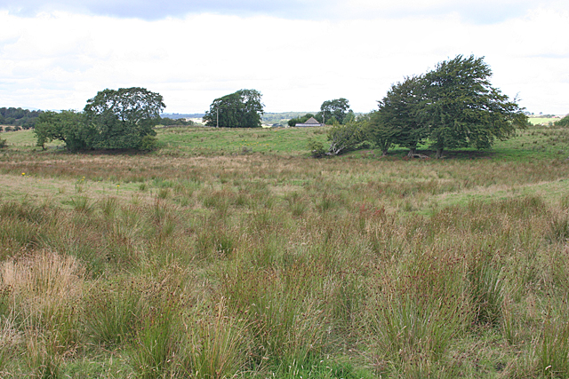
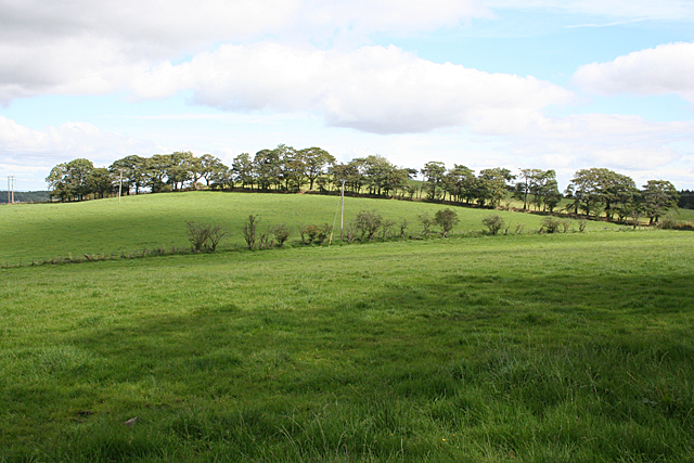
The hill is characterized by its gentle slopes and lush vegetation, mainly consisting of heather, grasses, and scattered trees. The terrain is predominantly rocky, with occasional outcrops and crags adding to its rugged charm. Millknowe sits within a designated Area of Outstanding Natural Beauty, attracting nature enthusiasts and hikers who seek to explore its diverse wildlife and picturesque scenery.
The summit of Millknowe provides a commanding view of the nearby Loch Lomond and the Trossachs National Park, offering visitors a glimpse into the untamed beauty of the Scottish Highlands. On clear days, one can see as far as the distant peaks of Ben Lomond and Ben Venue.
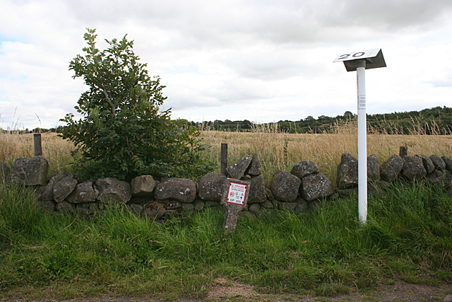
Access to Millknowe is primarily via a network of well-maintained footpaths that wind their way up the hill. These paths cater to both experienced hikers and casual walkers, ensuring that the hill is accessible to individuals of varying fitness levels.
Millknowe is not only a popular destination for outdoor enthusiasts but also a site of historical significance. The hill is home to several ancient burial sites and cairns, providing a glimpse into the rich cultural heritage of the region.
In summary, Millknowe is a captivating hill in Stirlingshire, Scotland, known for its stunning vistas, varied terrain, and historical significance. It offers a rewarding experience to those seeking to immerse themselves in the natural beauty of the Southern Highlands.
If you have any feedback on the listing, please let us know in the comments section below.
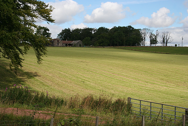
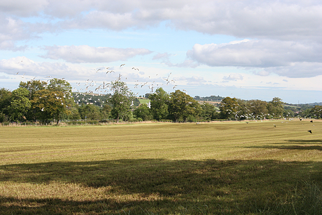
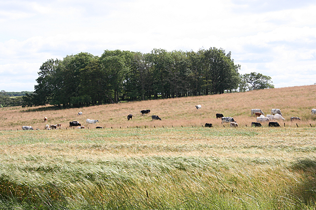
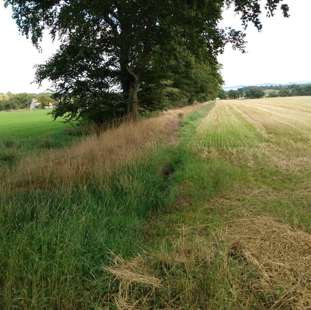
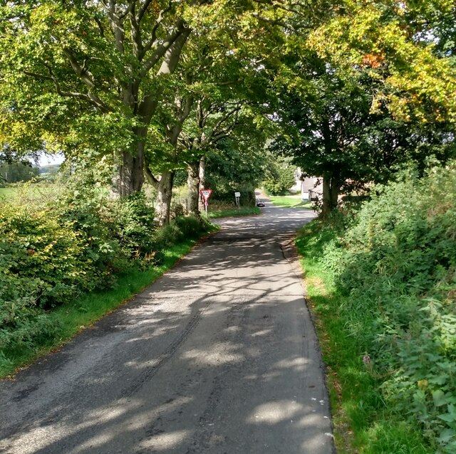
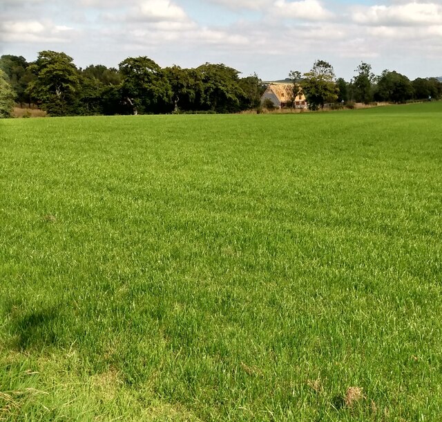
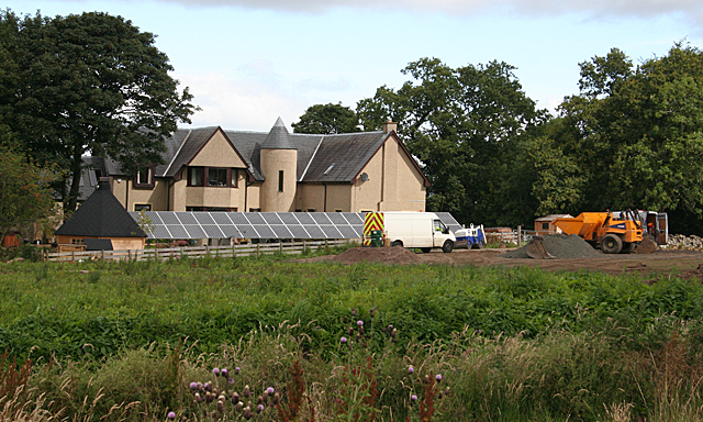
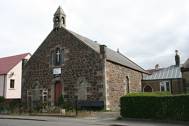
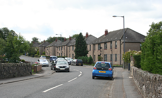
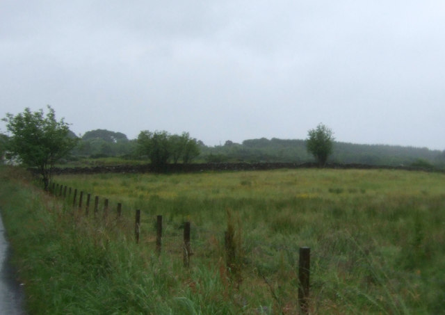
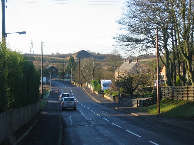
Millknowe Images
Images are sourced within 2km of 55.936616/-3.7417115 or Grid Reference NS9172. Thanks to Geograph Open Source API. All images are credited.


Millknowe is located at Grid Ref: NS9172 (Lat: 55.936616, Lng: -3.7417115)
Unitary Authority: Falkirk
Police Authority: Forth Valley
What 3 Words
///conspired.gloves.spacing. Near Shieldhill, Falkirk
Nearby Locations
Related Wikis

Avonbridge railway station
Avonbridge railway station was a station on the Slamannan Railway. The line connected mines and villages in the Central Scotland. == History == Opened...

Avonbridge
Avonbridge (Scottish Gaelic: Drochaid na h-Aibhne) is a small village which lies within the Falkirk council area of Scotland. The village is 4.8 miles...
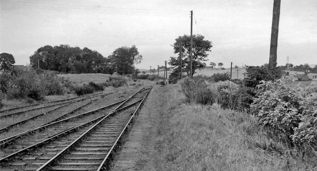
Blackston Junction railway station
Blackston Junction railway station served the area of Blackston, Falkirk, Scotland, from 1863 to 1963 on the Slamannan Railway. == History == The station...
Standburn
Standburn is a small village which lies within the Falkirk council area in central Scotland. It is located 1.3 miles (2.1 km) south-west of Maddiston,...
Nearby Amenities
Located within 500m of 55.936616,-3.7417115Have you been to Millknowe?
Leave your review of Millknowe below (or comments, questions and feedback).