Avonbridge
Settlement in Stirlingshire
Scotland
Avonbridge
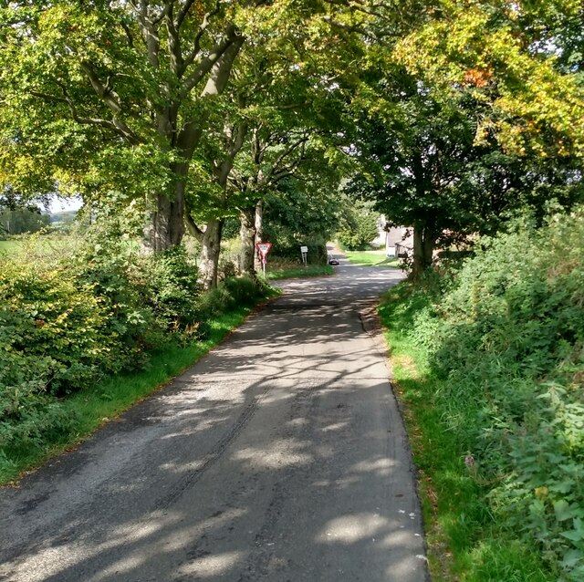
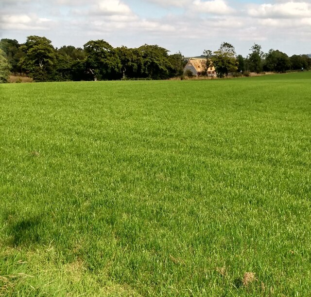
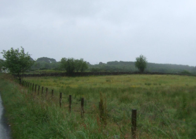
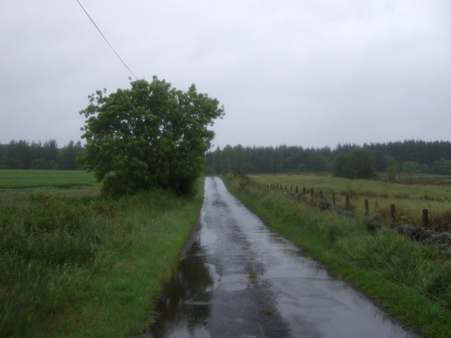
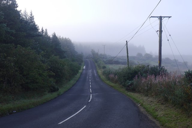
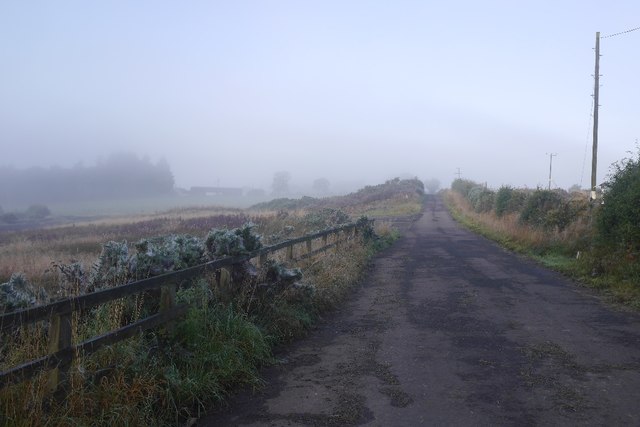
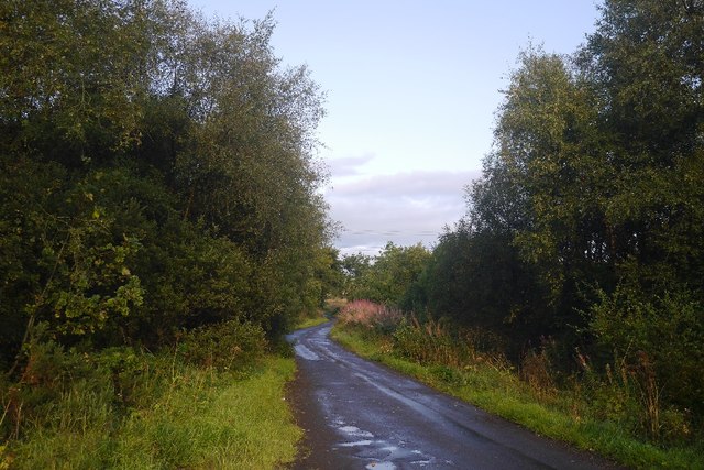
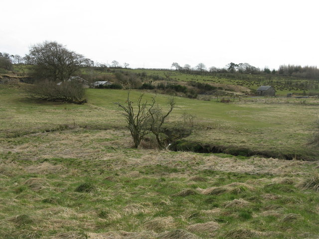
Avonbridge is a small village located in the district of Stirlingshire, Scotland. Situated on the banks of the River Avon, the village is surrounded by picturesque countryside, offering residents and visitors stunning views and a tranquil setting. Avonbridge is approximately 8 miles northwest of Falkirk and 20 miles east of Stirling, making it easily accessible by road.
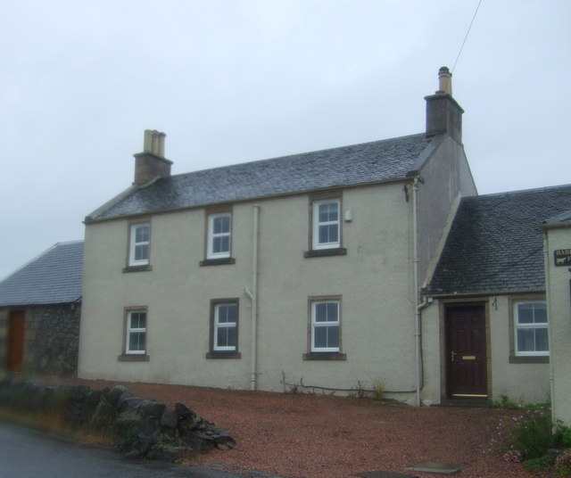
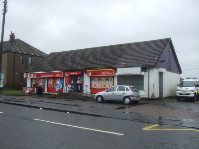
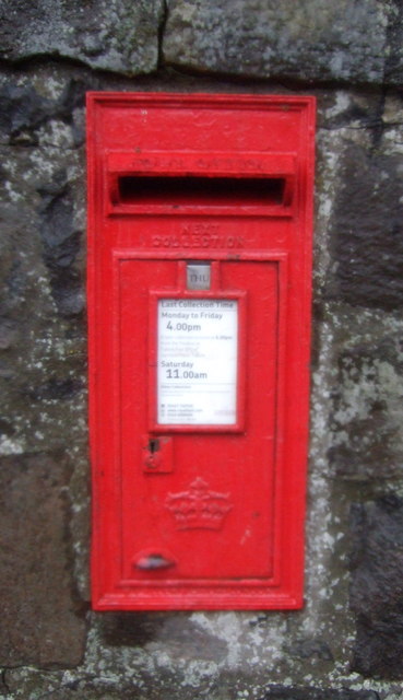
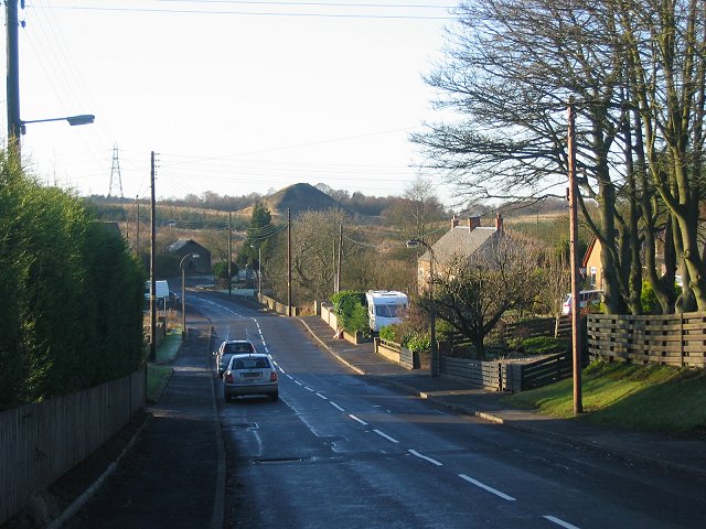
The village has a rich history, with records dating back to the 17th century. Once a mining community, Avonbridge has since evolved into a primarily residential area. The village features a mix of traditional and modern architecture, with stone cottages and newer developments coexisting harmoniously. The main street is lined with a small selection of local shops, including a convenience store and a post office, providing basic amenities to the residents.
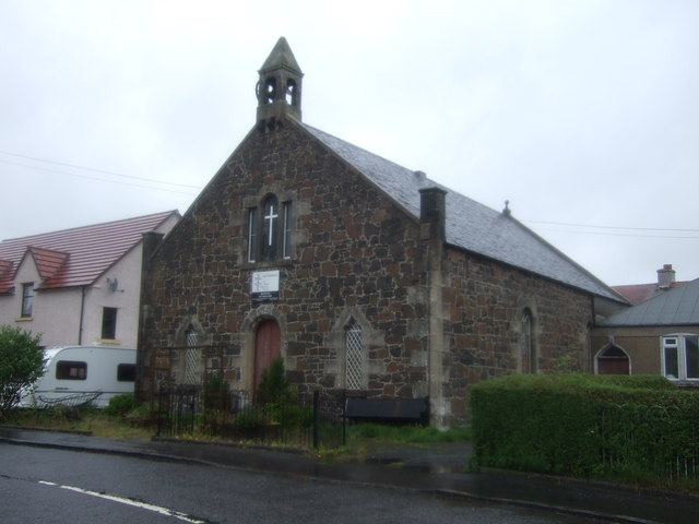
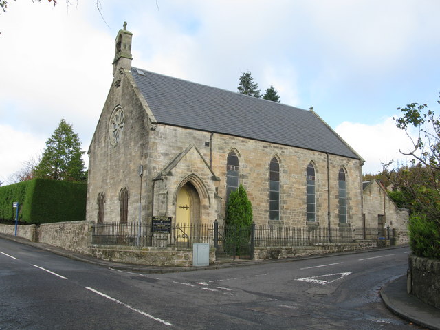
Avonbridge is well-known for its strong sense of community spirit. The village hosts various events throughout the year, such as the annual Avonbridge Gala Day, which brings together residents and visitors for a day of festivities and entertainment. The community also benefits from a primary school, a church, and a village hall, which serves as a hub for social gatherings and community activities.
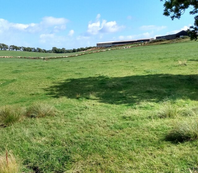
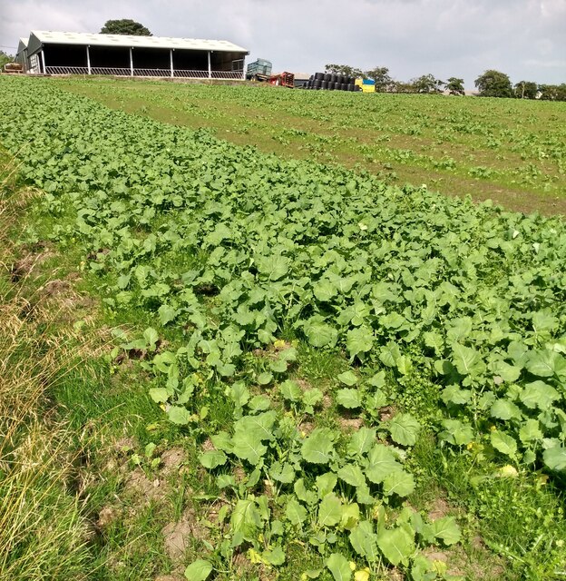
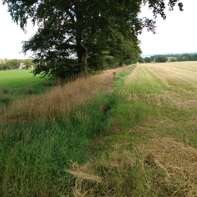
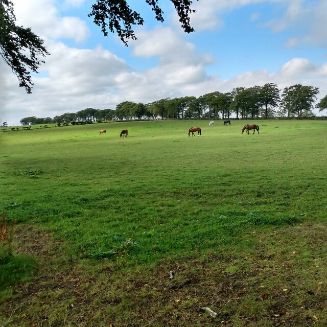
Nature enthusiasts will appreciate the surrounding countryside, which offers opportunities for outdoor activities such as walking, cycling, and fishing. The nearby River Avon is a popular spot for anglers, attracting fishing enthusiasts from near and far.
Overall, Avonbridge is a charming village that combines a peaceful rural setting with a close-knit community, making it an attractive place to live or visit for those seeking a slower pace of life in the heart of Scotland.
If you have any feedback on the listing, please let us know in the comments section below.
Avonbridge Images
Images are sourced within 2km of 55.93386/-3.744847 or Grid Reference NS9172. Thanks to Geograph Open Source API. All images are credited.
Avonbridge is located at Grid Ref: NS9172 (Lat: 55.93386, Lng: -3.744847)
Unitary Authority: Falkirk
Police Authority: Forth Valley
What 3 Words
///divider.discrepancy.investors. Near Shieldhill, Falkirk
Nearby Locations
Related Wikis

Avonbridge
Avonbridge (Scottish Gaelic: Drochaid na h-Aibhne) is a small village which lies within the Falkirk council area of Scotland. The village is 4.8 miles...

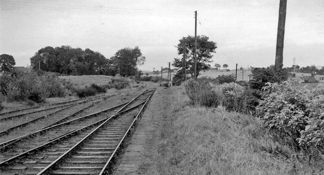
Avonbridge railway station
Avonbridge railway station was a station on the Slamannan Railway. The line connected mines and villages in the Central Scotland. == History == Opened...
Blackston Junction railway station
Blackston Junction railway station served the area of Blackston, Falkirk, Scotland, from 1863 to 1963 on the Slamannan Railway. == History == The station...
Standburn
Standburn is a small village which lies within the Falkirk council area in central Scotland. It is located 1.3 miles (2.1 km) south-west of Maddiston,...
Nearby Amenities
Located within 500m of 55.93386,-3.744847Have you been to Avonbridge?
Leave your review of Avonbridge below (or comments, questions and feedback).