Chantry Island
Island in Hertfordshire St. Albans
England
Chantry Island

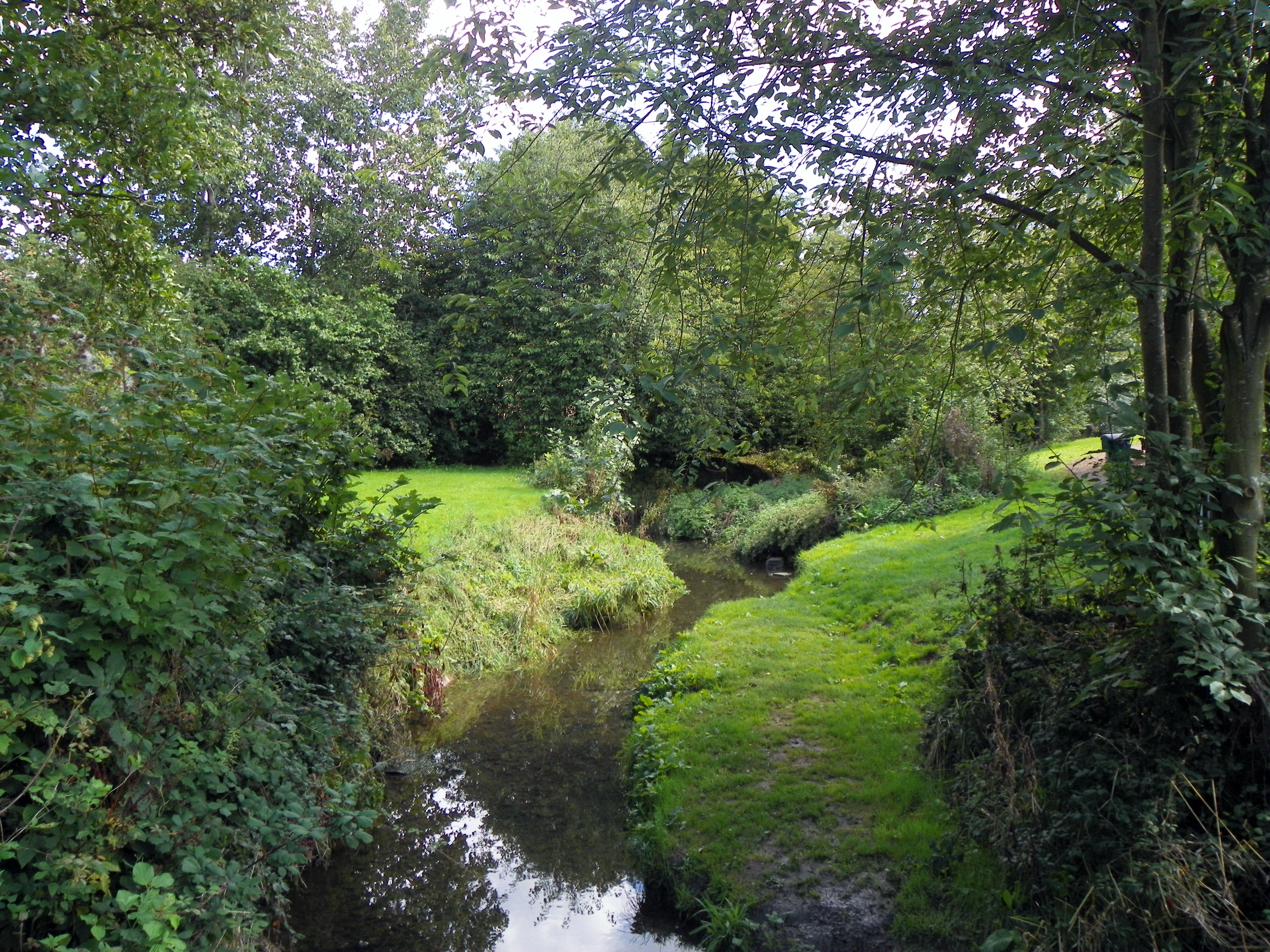
Chantry Island is a small uninhabited island located in the county of Hertfordshire, England. Situated in the River Lea, it covers an area of approximately 0.37 hectares. The island is named after a nearby house, Chantry House, which was demolished in the 18th century.
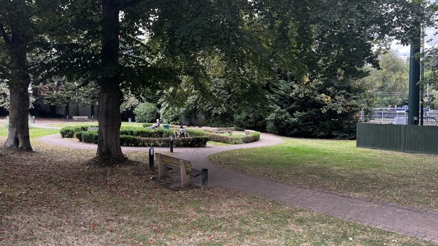
The island is a nature reserve and is managed by the Herts and Middlesex Wildlife Trust. It is mainly covered in dense vegetation, including trees and shrubs, providing a habitat for a variety of bird species. Chantry Island is particularly known for being a nesting site for herons and other waterfowl.
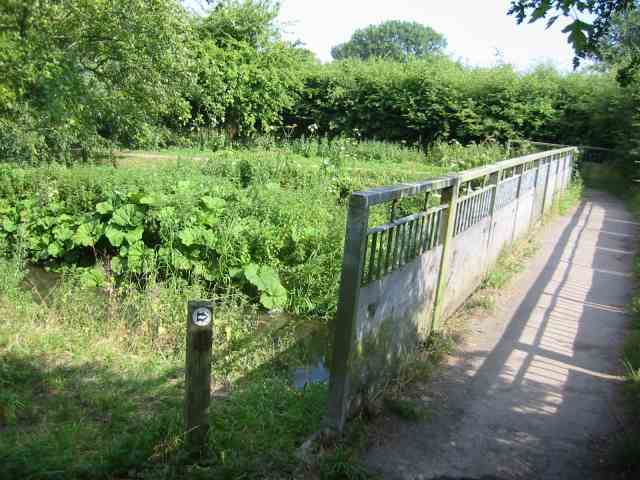
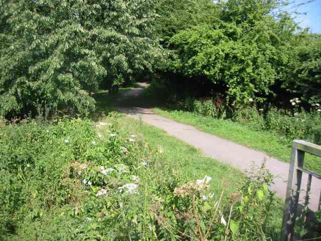
Access to the island is limited, with no public footpaths or facilities provided. However, it can be observed from a distance via the towpath on the eastern side of the River Lea. The island is a popular spot for birdwatchers and nature enthusiasts, who can enjoy the peaceful surroundings and observe the diverse wildlife.
Due to its location in a river, Chantry Island is prone to occasional flooding, especially during heavy rainfall or high tides. As a result, the vegetation on the island is periodically affected by these natural events.
Overall, Chantry Island is a small but significant natural reserve in Hertfordshire, providing a haven for birds and wildlife in the region. Its restricted access adds to its allure, attracting visitors who appreciate its natural beauty and tranquility.
If you have any feedback on the listing, please let us know in the comments section below.
Chantry Island Images
Images are sourced within 2km of 51.69825/-0.33544055 or Grid Reference TL1501. Thanks to Geograph Open Source API. All images are credited.
Chantry Island is located at Grid Ref: TL1501 (Lat: 51.69825, Lng: -0.33544055)
Administrative County: Hertfordshire
District: St. Albans
Police Authority: Hertfordshire
What 3 Words
///solid.land.weds. Near Radlett, Hertfordshire
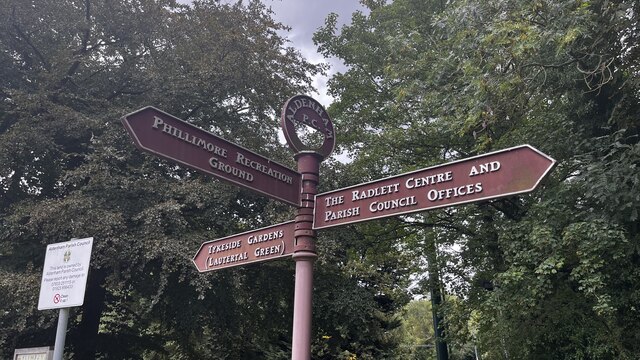
Nearby Locations
Related Wikis
Tykes Water
Tykes Water is a minor tributary of the River Colne in Hertfordshire in England. Its head waters are a network of drainage ditches west of the A41 near...
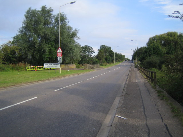
Colney Street
Colney Street is a hamlet in the English county of Hertfordshire. It lies on the A5183 road, this was formerly the A5 road and, before that, Roman Britain...

River Ver
The Ver is a 28 km (17 mi) long chalk stream in Hertfordshire, England. It is a tributary of the River Colne. == Course == The source is in the grounds...

Hanstead Stud
The Hanstead Stud was a breeding farm in England for Arabian horses. It was active from 1928 to 1957, and its animals had a significant impact in many...
Nearby Amenities
Located within 500m of 51.69825,-0.33544055Have you been to Chantry Island?
Leave your review of Chantry Island below (or comments, questions and feedback).