Walnut Wood
Wood, Forest in Hertfordshire Hertsmere
England
Walnut Wood

Walnut Wood is a charming forest located in Hertfordshire, England. Covering an area of approximately 100 acres, it is a popular destination for locals and tourists seeking a tranquil escape from the bustling city life. The wood is named after the abundance of walnut trees that can be found within its boundaries.
The forest boasts a diverse range of flora and fauna, with ancient trees towering over the woodland floor. The canopy provides a haven for various bird species, making it a paradise for birdwatchers and nature enthusiasts. Visitors can expect to spot species such as woodpeckers, jays, and buzzards. Squirrels can also be seen darting across the forest floor, adding to the woodland's charm.
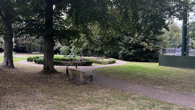
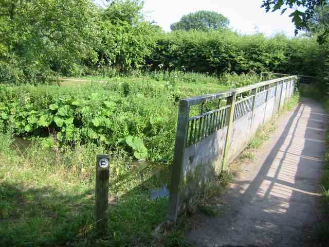
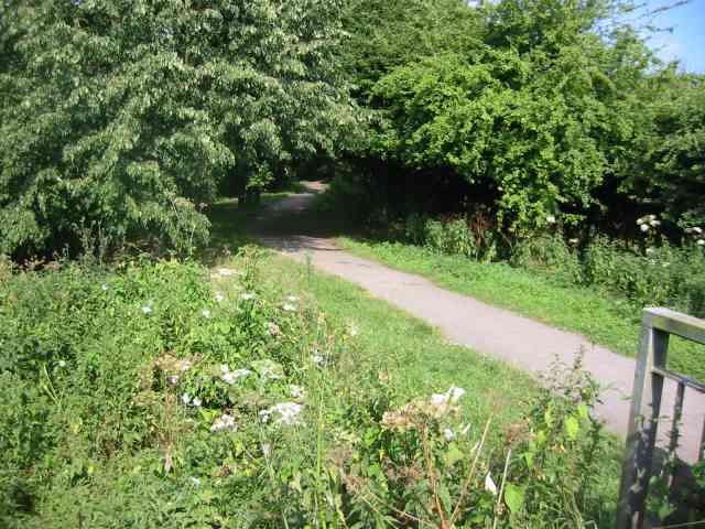
Walnut Wood offers a network of well-maintained walking trails, allowing visitors to immerse themselves in the peaceful surroundings. The paths wind through the forest, offering glimpses of picturesque views and hidden glades. The wood is especially enchanting during the spring when bluebells carpet the forest floor, creating a breathtaking sight.
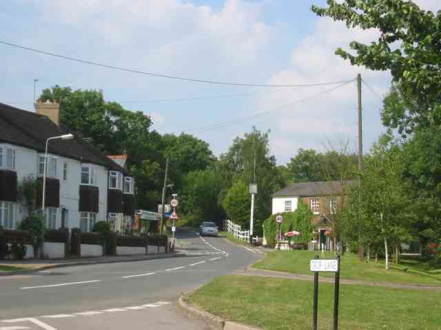
Visitors to Walnut Wood can also take advantage of the picnic areas and benches scattered throughout the forest, providing a perfect spot to relax and enjoy the natural beauty. The wood is easily accessible by car, with a car park located nearby for convenience.
Overall, Walnut Wood in Hertfordshire is a unique and captivating destination for those seeking solace in nature. Its ancient trees, diverse wildlife, and picturesque trails make it a must-visit for anyone looking to explore the beauty of the English countryside.
If you have any feedback on the listing, please let us know in the comments section below.
Walnut Wood Images
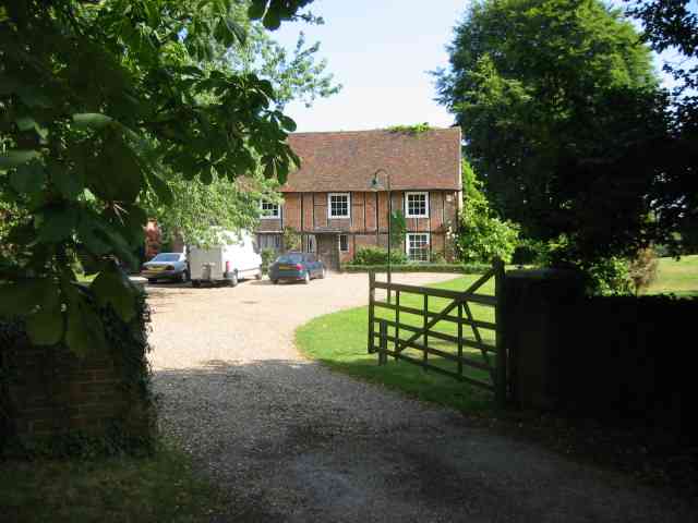
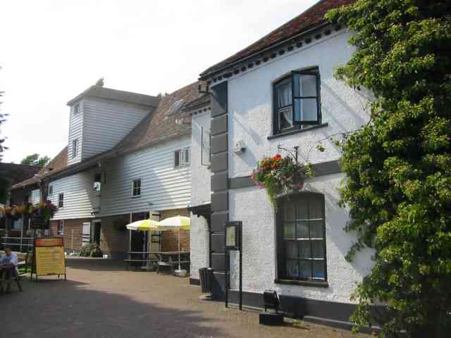
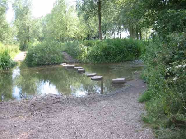
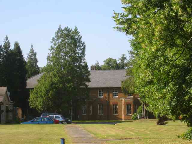
Images are sourced within 2km of 51.699898/-0.33368699 or Grid Reference TL1501. Thanks to Geograph Open Source API. All images are credited.


Walnut Wood is located at Grid Ref: TL1501 (Lat: 51.699898, Lng: -0.33368699)
Administrative County: Hertfordshire
District: Hertsmere
Police Authority: Hertfordshire
What 3 Words
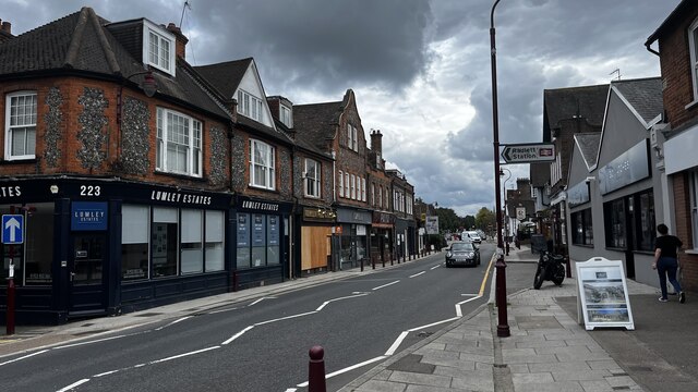
///bland.branded.caves. Near Radlett, Hertfordshire
Nearby Locations
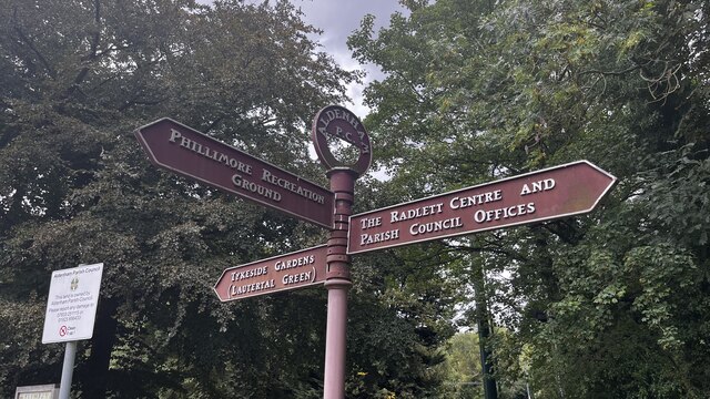
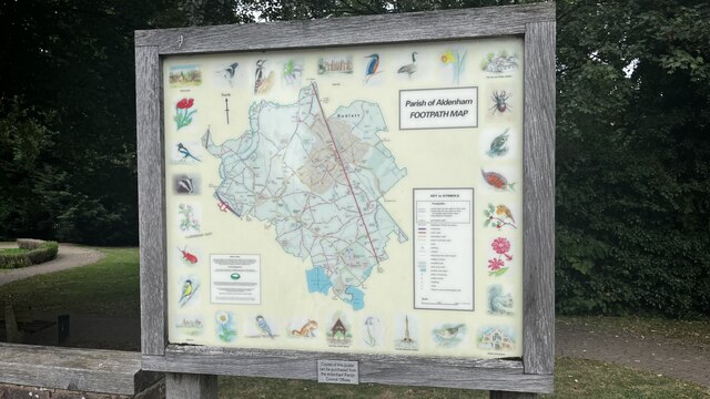
Related Wikis
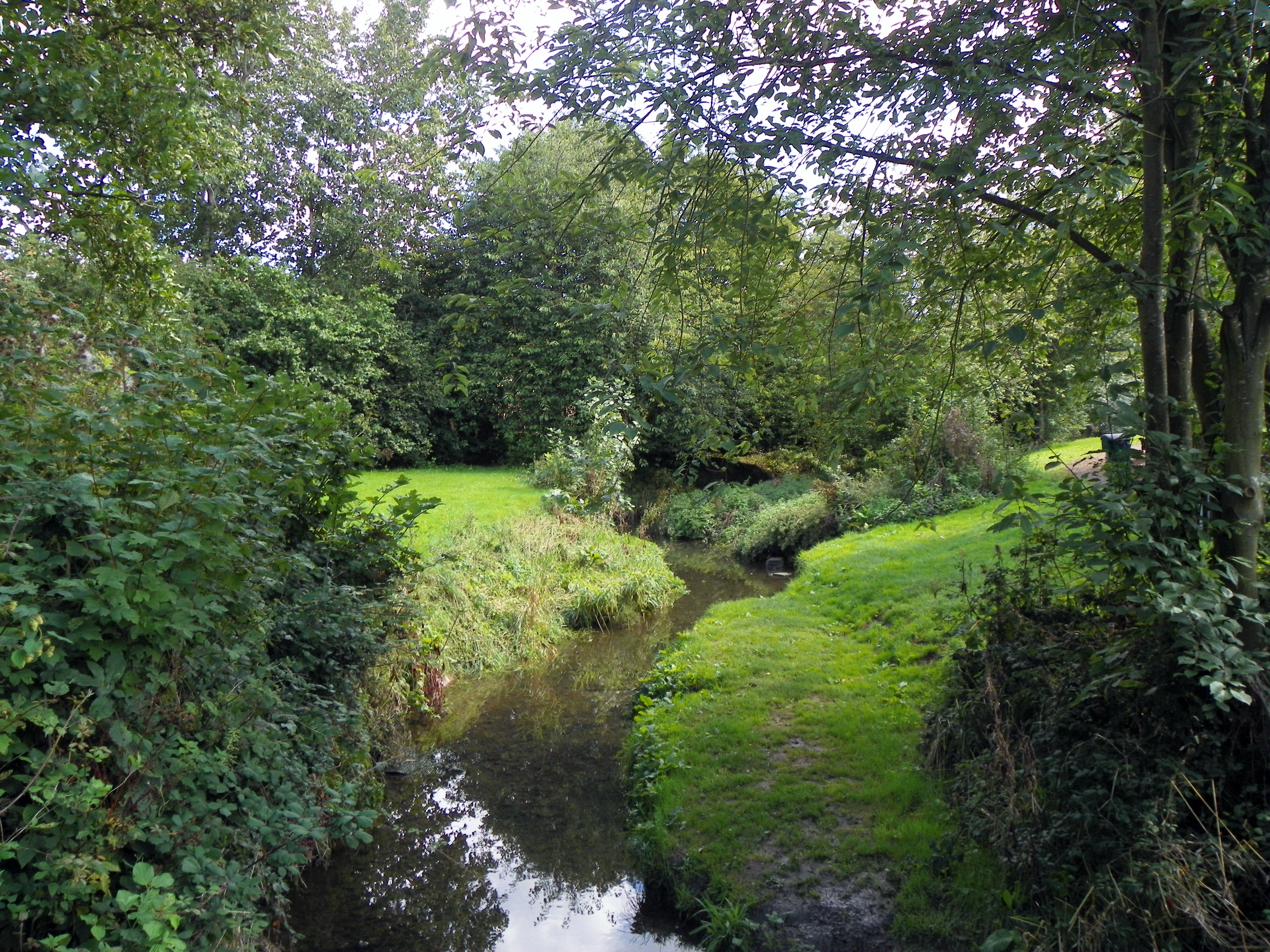
Tykes Water
Tykes Water is a minor tributary of the River Colne in Hertfordshire in England. Its head waters are a network of drainage ditches west of the A41 near...
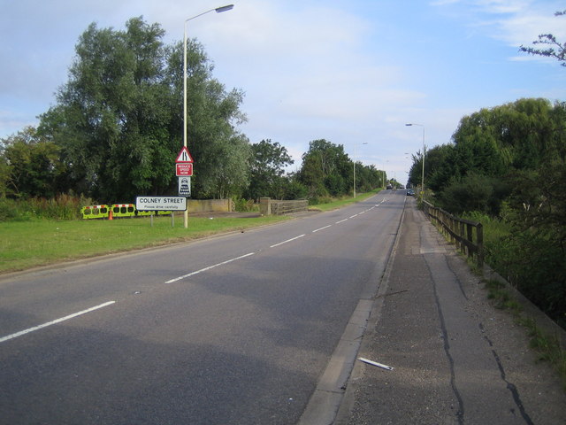
Colney Street
Colney Street is a hamlet in the English county of Hertfordshire. It lies on the A5183 road, this was formerly the A5 road and, before that, Roman Britain...

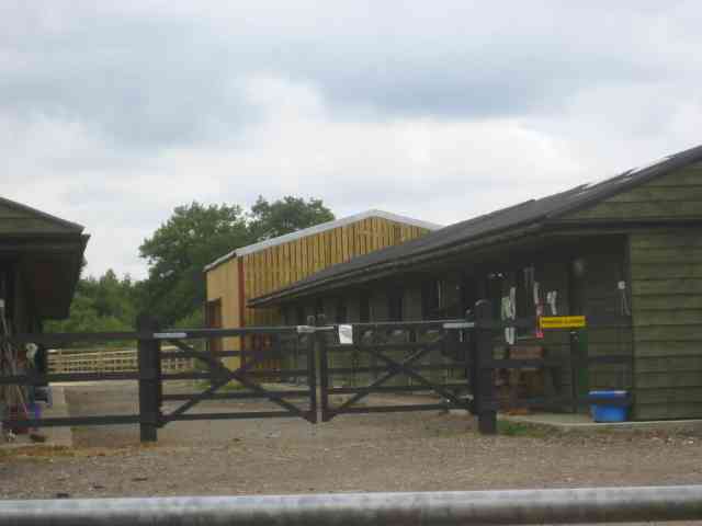
Hanstead Stud
The Hanstead Stud was a breeding farm in England for Arabian horses. It was active from 1928 to 1957, and its animals had a significant impact in many...
Hanstead House
Hanstead House or Hanstead Park is a country house estate in Hertfordshire, England. Hanstead is near Bricket Wood, about three miles from Radlett and...
Nearby Amenities
Located within 500m of 51.699898,-0.33368699Have you been to Walnut Wood?
Leave your review of Walnut Wood below (or comments, questions and feedback).