South Batts
Island in Yorkshire Scarborough
England
South Batts

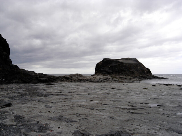
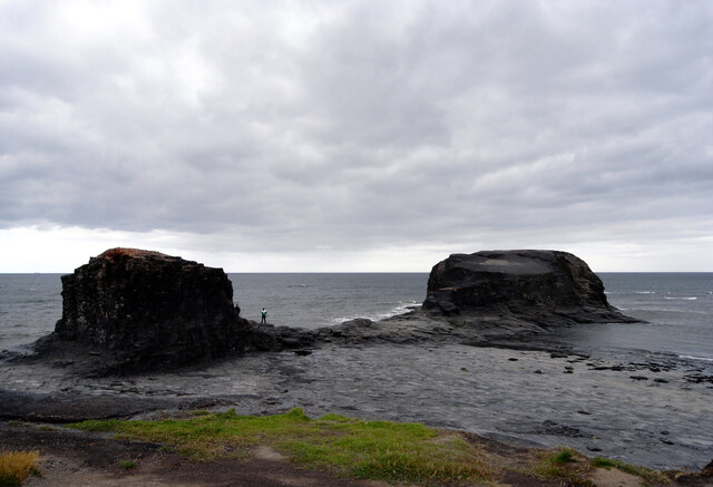
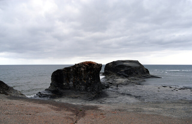
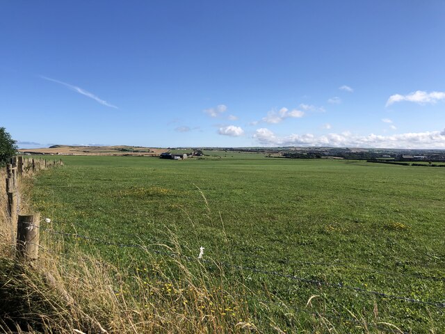
South Batts is a small island located in Yorkshire, England. Situated in the North Sea, it is part of the East Riding of Yorkshire. With an area of approximately 1 square kilometer, it is relatively small in size. The island is predominantly flat, with low-lying coastal areas and a central elevated region.
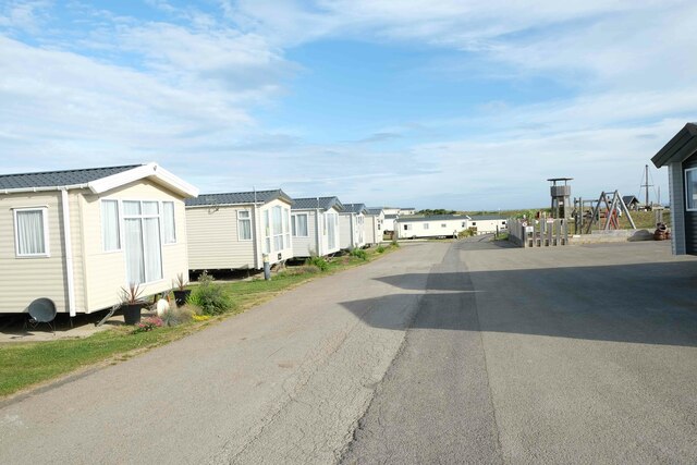
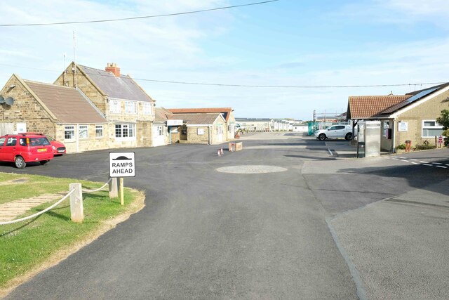
South Batts is home to a small population, estimated to be around 100 residents. The island has limited infrastructure, with a few scattered houses and basic amenities such as a school, a community center, and a small convenience store. The economy mainly relies on fishing, agriculture, and tourism.
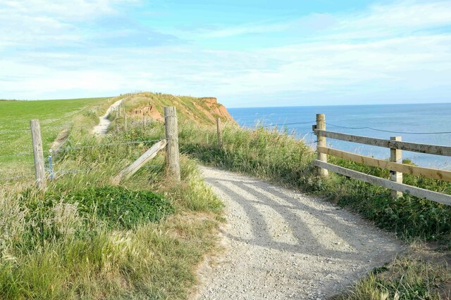
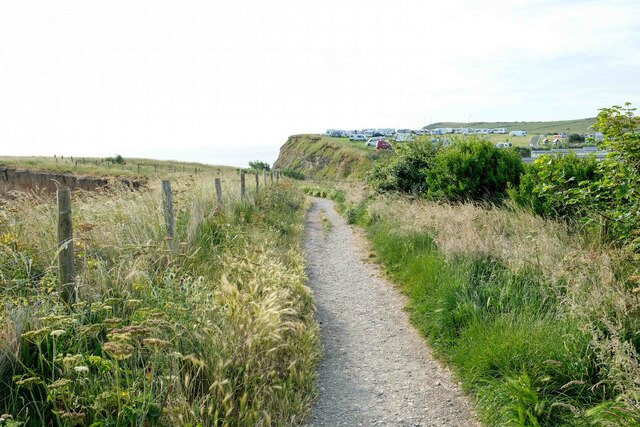
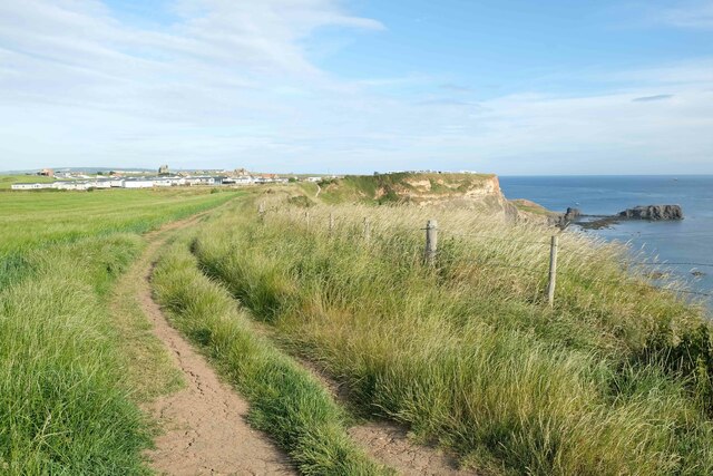
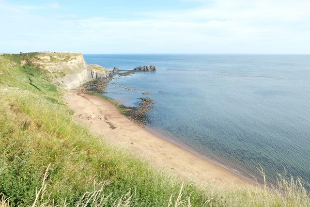
The island boasts a picturesque coastline, with sandy beaches and rocky cliffs. It is a popular destination for outdoor enthusiasts, offering opportunities for hiking, birdwatching, and water sports. The surrounding waters are known for their rich marine life, attracting divers and anglers.
Access to South Batts is primarily by boat, with regular ferry services connecting the island to the mainland. The island's remote location and tranquil atmosphere make it an ideal getaway for those seeking a peaceful retreat or a break from the bustling city life.
South Batts has a unique charm, with its unspoiled natural beauty and close-knit community. Despite its small size, the island offers a range of amenities and activities for both residents and visitors. Whether exploring its coastal wonders or immersing oneself in the local culture, South Batts provides a serene escape in the heart of Yorkshire.
If you have any feedback on the listing, please let us know in the comments section below.
South Batts Images
Images are sourced within 2km of 54.482731/-0.57451514 or Grid Reference NZ9210. Thanks to Geograph Open Source API. All images are credited.


South Batts is located at Grid Ref: NZ9210 (Lat: 54.482731, Lng: -0.57451514)
Division: North Riding
Administrative County: North Yorkshire
District: Scarborough
Police Authority: North Yorkshire
What 3 Words
///glows.bungalows.gardens. Near Whitby, North Yorkshire
Nearby Locations
Related Wikis
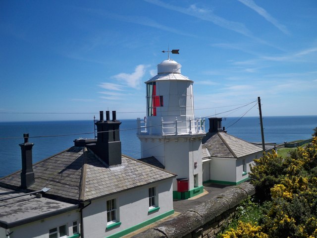
Whitby Lighthouse
Whitby Lighthouse is a lighthouse operated by Trinity House. It is on Ling Hill, on the coast to the south-east of Whitby, beyond Saltwick Bay. To distinguish...

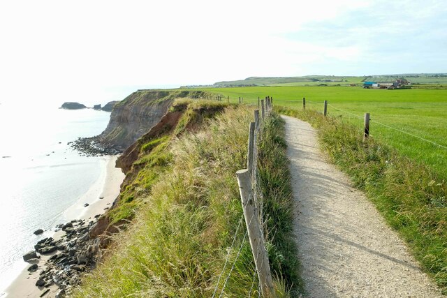
Saltwick Bay
Saltwick Bay is a north-east facing bay approximately one mile (1.6 km) to the east of Whitby, on the east coast of North Yorkshire, England. The bay contains...
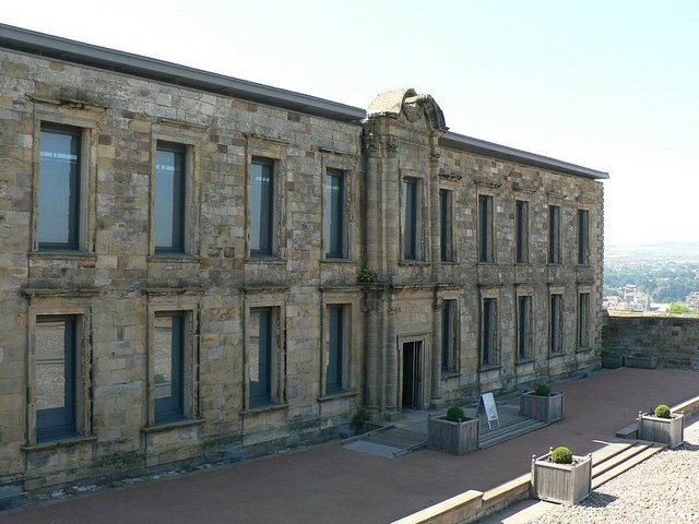
Cholmley House
Cholmley House or Whitby Hall is a banqueting house sited next to the ruins of Whitby Abbey in North Yorkshire, England. It was built in 1672 by Sir Hugh...

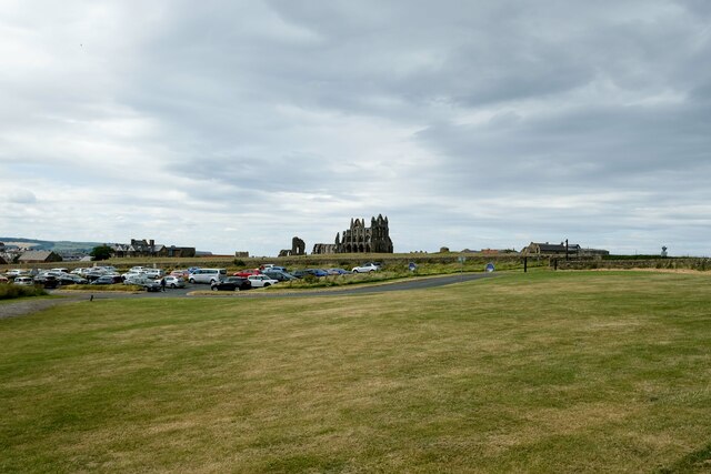
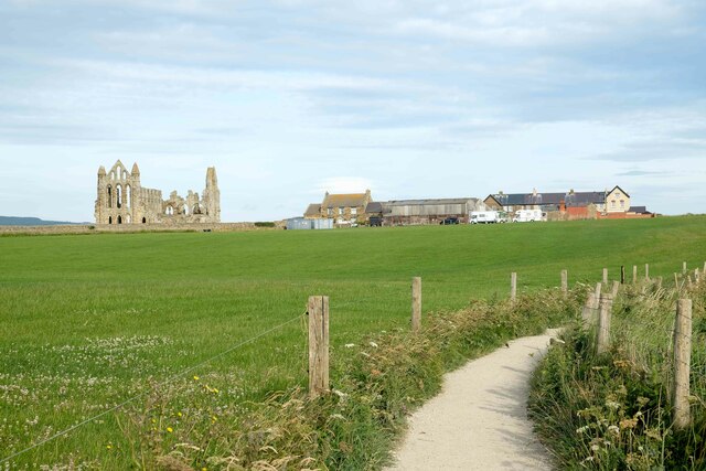
Whitby Abbey
Whitby Abbey was a 7th-century Christian monastery that later became a Benedictine abbey. The abbey church was situated overlooking the North Sea on the...

Stainsacre
Stainsacre is a village in the civil parish of Hawsker-cum-Stainsacre in the Scarborough district of North Yorkshire on the edge of the North York Moors...

Eskdale School
Eskdale School is a coeducational secondary school located in Whitby, North Yorkshire, England. The school is named after Eskdale, a valley that runs from...

St Mary's Church, Whitby
The Church of Saint Mary is an Anglican parish church serving the town of Whitby in North Yorkshire England. It was founded around 1110, although its interior...

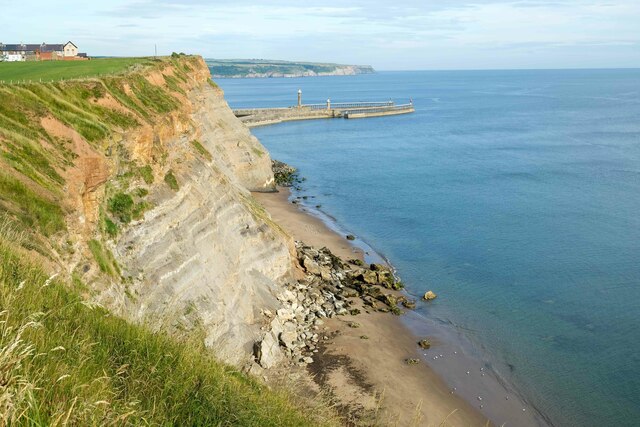
Port of Whitby
The Port of Whitby is an ancient and historic seaport on the North Yorkshire coast of England. The port lies at the mouth of the River Esk, where it enters...
Related Videos
![Whitby Goth Weekend April 2023 full walking tour | [4K]](https://i.ytimg.com/vi/pPLQKTXkpgI/hqdefault.jpg)
Whitby Goth Weekend April 2023 full walking tour | [4K]
We went to Whitby on goth weekend this year and made a full walking tour of it. You will love this video and please watch till end ...
15 Things To Do In WHITBY, NORTH YORKSHIRE | England, UK Travel Guide
In this video we will show you 15 things to see and do in Whitby, England. Set on the North Yorkshire coast, this seaside town has ...

WHITBY | The ultimate seafront tour of Whitby
Welcome to Whitby in North Yorkshire, England. This seaside town is famous for it's town, Whitby Abbey and Dracula, but what is ...

FANTASTIC SEA VIEWS at WHITBY HOLIDAY PARK | Saltwick Bay Yorkshire | Vlog 423
As part of our Yorkshire tour in October 2021, we stayed at the Whitby Holiday Park and were allocated a camping pitch right on ...
Nearby Amenities
Located within 500m of 54.482731,-0.57451514Have you been to South Batts?
Leave your review of South Batts below (or comments, questions and feedback).