Millholme Island

Island in Bedfordshire

England

Millholme Island

St Peter & All Saints church, Harrold
St Peter & All Saints church, Harrold Credit: Dave Kelly

Millholme Island is a small, privately owned island located in the county of Bedfordshire, England. Situated in the River Great Ouse, the island is a peaceful and secluded retreat surrounded by lush greenery and wildlife.

The island is accessible only by boat or a small footbridge, adding to its exclusive and tranquil atmosphere. It is home to a single residence, a charming cottage that offers stunning views of the river and the surrounding countryside.

Millholme Island is a popular destination for nature lovers and those seeking a quiet escape from the hustle and bustle of everyday life. Visitors can enjoy leisurely walks along the riverbanks, birdwatching, and fishing in the calm waters surrounding the island.

The island's remote location and natural beauty make it a truly unique and special place to visit. It offers a sense of serenity and relaxation that is hard to find elsewhere, making it a hidden gem in the heart of Bedfordshire.

If you have any feedback on the listing, please let us know in the comments section below.

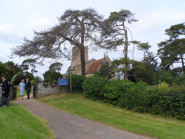
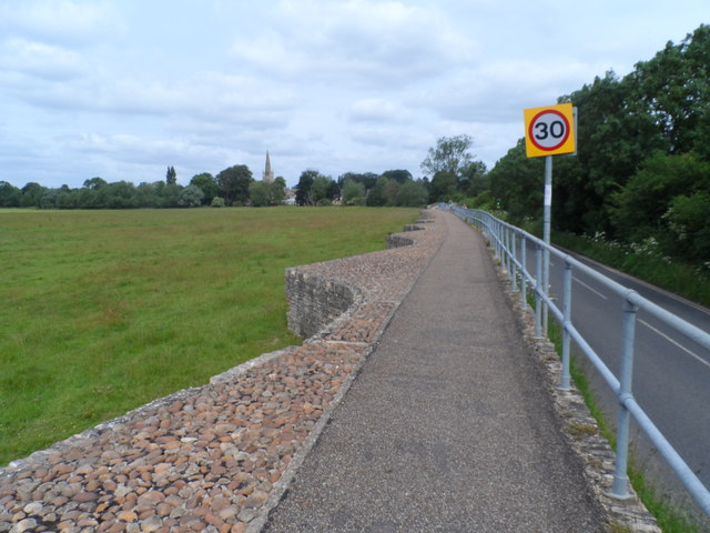
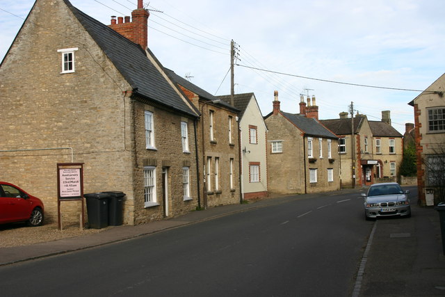
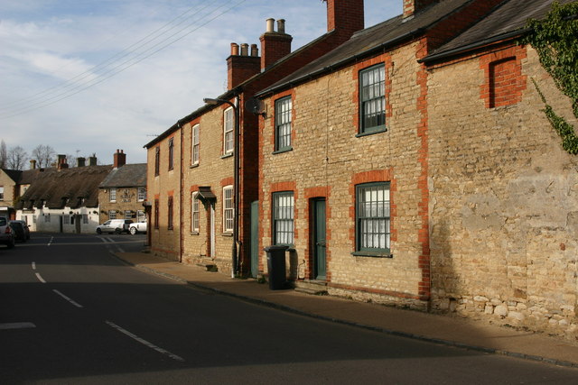
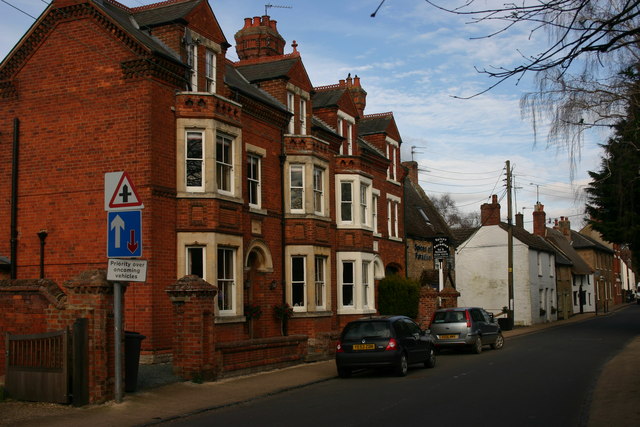
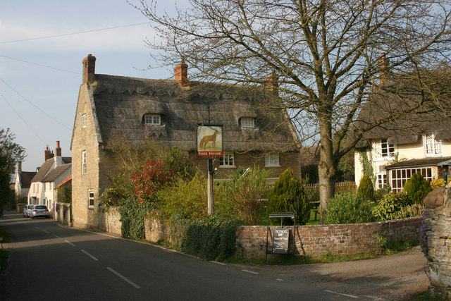
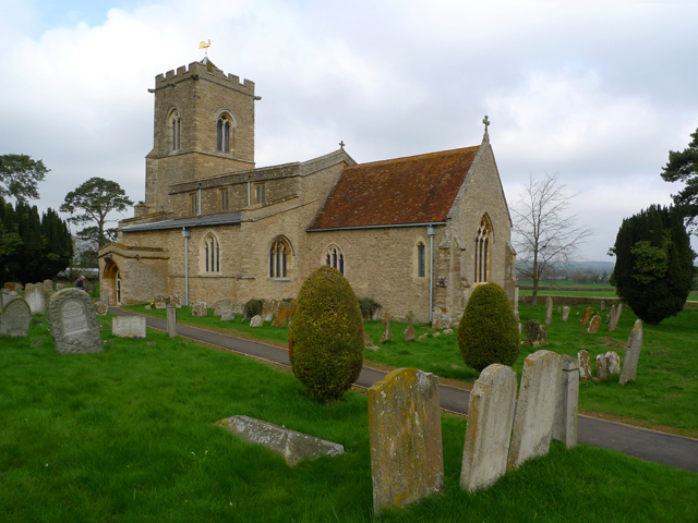
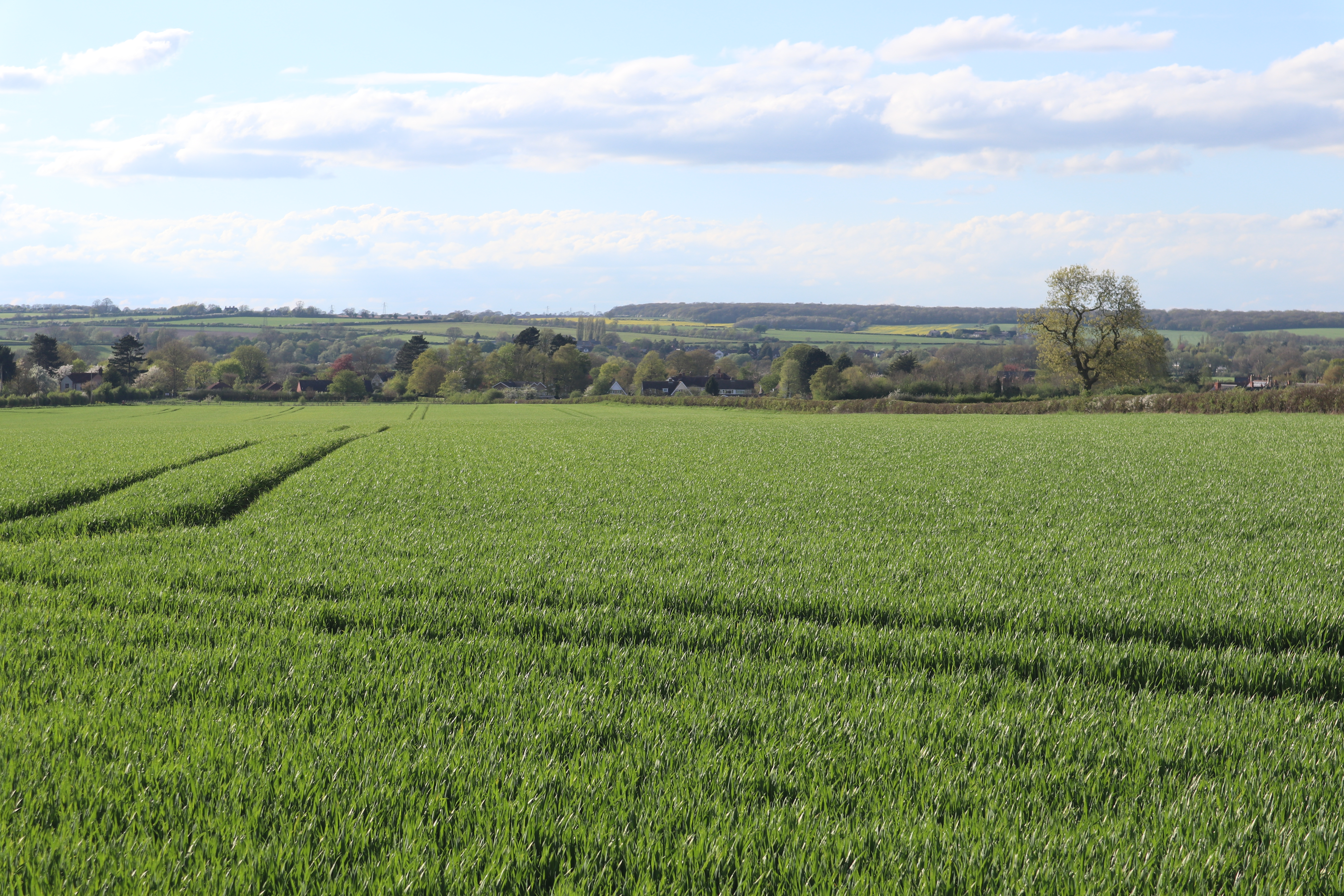
Millholme Island Images

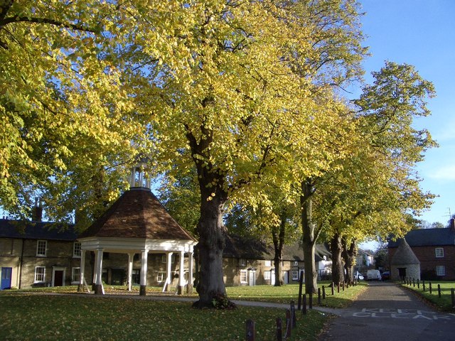
Images are sourced within 2km of 52.189699/-0.62118805 or Grid Reference SP9455. Thanks to Geograph Open Source API. All images are credited.

St Peter & All Saints church, Harrold
Spring Close Farm
Spring Close Farm
Looking across the flood plain of the Great Ouse towards St Peter's Church, Harrold
Wedding party at St Mary the Virgin, Carlton
Causeway leading to Harrold Bridge The causeway is about 6 feet above the level of the fields below
Causeway leading to Harrold Bridge
The causeway is about 6 feet above the level of the fields below
Harrold Bridge See <span class="nowrap"><a title="http://www.transportheritage.com/find-heritage-locations.html?sobi2Task=sobi2Details&sobi2Id=765" rel="nofollow ugc noopener" href="http://www.transportheritage.com/find-heritage-locations.html?sobi2Task=sobi2Details&sobi2Id=765">Link</a><img style="margin-left:2px;" alt="External link" title="External link - shift click to open in new window" src="https://s1.geograph.org.uk/img/external.png" width="10" height="10"/></span> This bridege was originally constructed in the 14th century but has undergone almost continuous repair and reconstruction since.
Harrold Bridge
See LinkExternal link This bridege was originally constructed in the 14th century but has undergone almost continuous repair and reconstruction since.
Road into Carlton According to <span class="nowrap"><a title="http://www.carltonwithchellington.co.uk/village_history.htm" rel="nofollow ugc noopener" href="http://www.carltonwithchellington.co.uk/village_history.htm">Link</a><img style="margin-left:2px;" alt="External link" title="External link - shift click to open in new window" src="https://s1.geograph.org.uk/img/external.png" width="10" height="10"/></span> this is the most southerly example of the use of the viking-derived name Carleton (meaning free man). It indicates that this was as far south as the Vikings got. The River Ouse formed a boundary to the Viking influence.
Road into Carlton
According to LinkExternal link this is the most southerly example of the use of the viking-derived name Carleton (meaning free man). It indicates that this was as far south as the Vikings got. The River Ouse formed a boundary to the Viking influence.
St Nicholas' Church, Chellington C12 church now used as a retreat centre. See <span class="nowrap"><a title="http://www.carltonwithchellington.co.uk/village_history.htm" rel="nofollow ugc noopener" href="http://www.carltonwithchellington.co.uk/village_history.htm">Link</a><img style="margin-left:2px;" alt="External link" title="External link - shift click to open in new window" src="https://s1.geograph.org.uk/img/external.png" width="10" height="10"/></span> for further information.
St Nicholas' Church, Chellington
C12 church now used as a retreat centre. See LinkExternal link for further information.
High Street, Harrold As seen from opposite the United Reformed chapel looking east.
High Street, Harrold
As seen from opposite the United Reformed chapel looking east.
High Street, Harrold Looking west towards Brook Lane.
High Street, Harrold
Looking west towards Brook Lane.
Harrold House, High Street, Harrold "A tall, symmetrical Victorian-Jacobean villa" as Pevsner puts it.
Harrold House, High Street, Harrold
"A tall, symmetrical Victorian-Jacobean villa" as Pevsner puts it.
High Street, Harrold This terrace of quite large Victorian houses represents yet another architectural style to be found in High Street. The picture was taken looking east towards Church Walk.
High Street, Harrold
This terrace of quite large Victorian houses represents yet another architectural style to be found in High Street. The picture was taken looking east towards Church Walk.
St Peter, Harrold The tower dates from around 1290-1350 but the spire dates from any time thereafter to around 1530.
St Peter, Harrold
The tower dates from around 1290-1350 but the spire dates from any time thereafter to around 1530.
St Peter, Harrold The main part of the church dates from different times in the C13. According to Pevsner the positioning of a lancet window at the far end of the chancel suggests that the latter was once longer than it is today.
St Peter, Harrold
The main part of the church dates from different times in the C13. According to Pevsner the positioning of a lancet window at the far end of the chancel suggests that the latter was once longer than it is today.
Kingfisher Water, Harrold-Odell Country Park The Country Park opened in 1986 and features flooded sand and gravel workings such as this. The church on the hill is the now decommissioned St Nicholas, Chellington.
Kingfisher Water, Harrold-Odell Country Park
The Country Park opened in 1986 and features flooded sand and gravel workings such as this. The church on the hill is the now decommissioned St Nicholas, Chellington.
'The Fox', Carlton (Beds) Taken looking north up High Street (sometimes referred to as Bedford Road).
'The Fox', Carlton (Beds)
Taken looking north up High Street (sometimes referred to as Bedford Road).
House in High Street, Carlton (Beds)
Nicholas Farm, Edens Lane, Carlton
Show me another place!

Millholme Island is located at Grid Ref: SP9455 (Lat: 52.189699, Lng: -0.62118805)

Unitary Authority: Bedford

Police Authority: Bedfordshire

What 3 Words

///instant.deeply.regret. Near Harrold, Bedfordshire

Nearby Locations

Millholme Island

Related Wikis

Church of St Mary, Carlton, Bedfordshire

Church of St Mary is a Grade I listed church in Carlton, Bedfordshire, England. == See also == Grade I listed buildings in Bedfordshire == References ==

Carlton with Chellington

Carlton with Chellington is a civil parish in the historical Hundred of Willey in Bedfordshire, England, and is within the Borough of Bedford. The parish...

Carlton, Bedfordshire

Carlton is a village and former civil parish, now in the parish of Carlton and Chellington, in the Bedford district, in the ceremonial county of Bedfordshire...

Harrold, Bedfordshire

Harrold is a village, civil parish and electoral ward in Bedfordshire, England, nine miles north-west of Bedford on the north bank of the River Great Ouse...

Nearby Amenities

Located within 500m of 52.189699,-0.62118805
Power: tower
Lat/Long: 52.1937483/-0.6209366
Power: tower
Lat/Long: 52.1913116/-0.6185172
Power: tower
Lat/Long: 52.189322/-0.6165324
The data included in this document is from www.openstreetmap.org. The data is made available under ODbL.

Have you been to Millholme Island?

Leave your review of Millholme Island below (or comments, questions and feedback).