Smugglers' Hole
Coastal Feature, Headland, Point in Yorkshire Scarborough
England
Smugglers' Hole
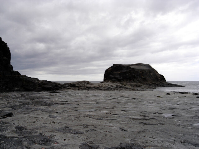
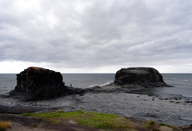
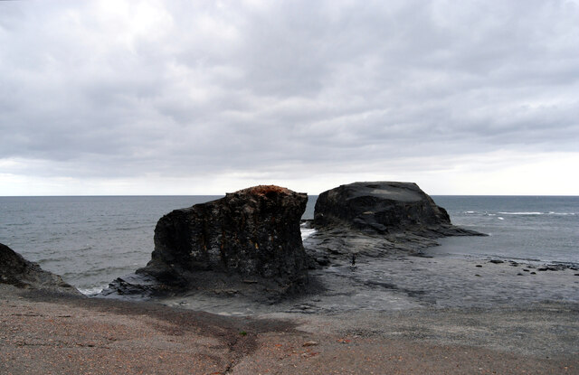
Smugglers' Hole, located in Yorkshire, is a captivating coastal feature perched on a headland that juts out into the North Sea. This prominent point is renowned for its historical significance and breathtaking natural beauty.
Situated near the picturesque village of Robin Hood's Bay, Smugglers' Hole offers visitors a glimpse into the region's intriguing past. The name itself alludes to the area's notorious smuggling activities during the 18th and 19th centuries. The cliffside location provided a perfect hideout for smugglers, who took advantage of the rugged terrain and secluded caves to bring in contraband goods unnoticed by authorities.
Today, Smugglers' Hole is a popular destination for hikers, history enthusiasts, and nature lovers alike. The headland offers breathtaking panoramic views of the North Sea, with its crashing waves and dramatic cliffs. The rugged coastal path leading to the hole is a favorite among walkers, providing a chance to explore the area's diverse flora and fauna.
The hole itself is a small, natural cave carved into the cliffside, accessible during low tide. Its dark and mysterious interior, combined with the sound of crashing waves, creates an otherworldly atmosphere that sparks the imagination. Visitors can explore the cave's nooks and crannies, marveling at its unique rock formations and the interplay of light and shadows.
Smugglers' Hole is a place where history, nature, and adventure converge. Its rich past, stunning coastal scenery, and hidden caves make it a must-visit location for anyone seeking a unique and memorable experience on the Yorkshire coast.
If you have any feedback on the listing, please let us know in the comments section below.
Smugglers' Hole Images
Images are sourced within 2km of 54.482863/-0.57961983 or Grid Reference NZ9210. Thanks to Geograph Open Source API. All images are credited.


Smugglers' Hole is located at Grid Ref: NZ9210 (Lat: 54.482863, Lng: -0.57961983)
Division: North Riding
Administrative County: North Yorkshire
District: Scarborough
Police Authority: North Yorkshire
What 3 Words
///lions.hypnotist.hotspot. Near Whitby, North Yorkshire
Nearby Locations
Related Wikis

Saltwick Bay
Saltwick Bay is a north-east facing bay approximately one mile (1.6 km) to the east of Whitby, on the east coast of North Yorkshire, England. The bay contains...
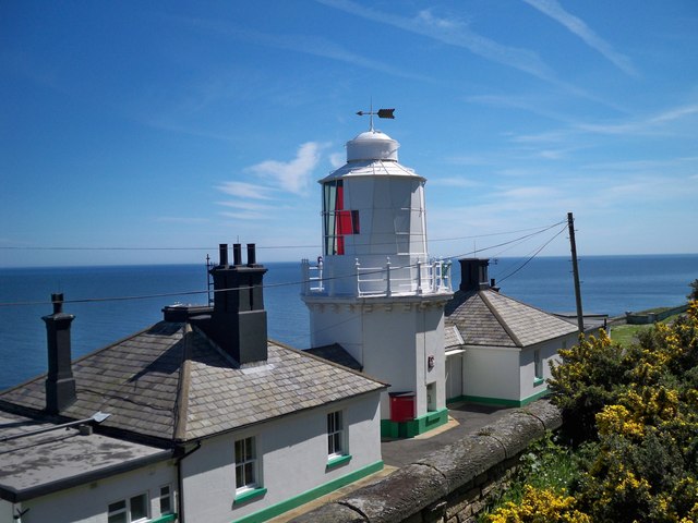
Whitby Lighthouse
Whitby Lighthouse is a lighthouse operated by Trinity House. It is on Ling Hill, on the coast to the south-east of Whitby, beyond Saltwick Bay. To distinguish...
Cholmley House
Cholmley House or Whitby Hall is a banqueting house sited next to the ruins of Whitby Abbey in North Yorkshire, England. It was built in 1672 by Sir Hugh...

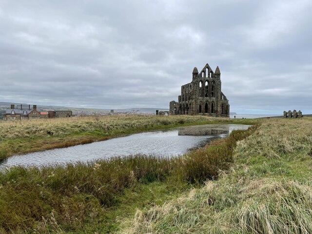
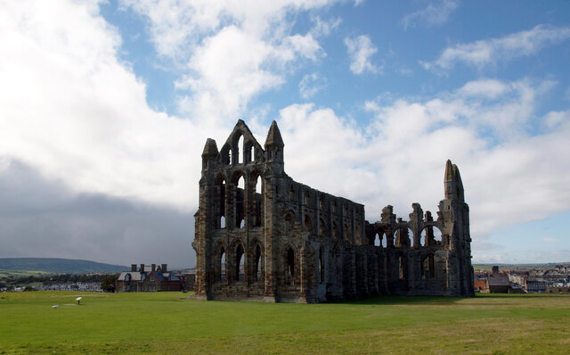
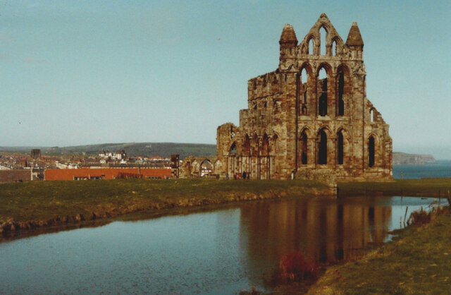
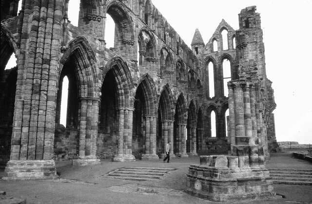
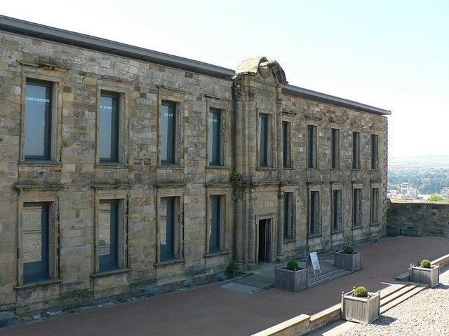
Whitby Abbey
Whitby Abbey was a 7th-century Christian monastery that later became a Benedictine abbey. The abbey church was situated overlooking the North Sea on the...

St Mary's Church, Whitby
The Church of Saint Mary is an Anglican parish church serving the town of Whitby in North Yorkshire England. It was founded around 1110, although its interior...

Eskdale School
Eskdale School is a coeducational secondary school located in Whitby, North Yorkshire, England. The school is named after Eskdale, a valley that runs from...

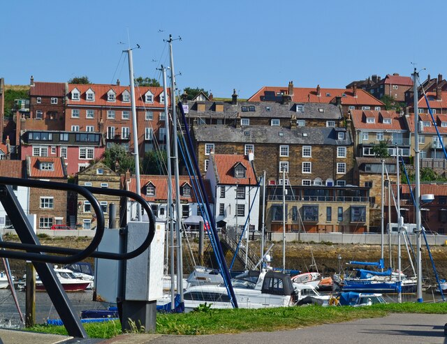
Port of Whitby
The Port of Whitby is an ancient and historic seaport on the North Yorkshire coast of England. The port lies at the mouth of the River Esk, where it enters...
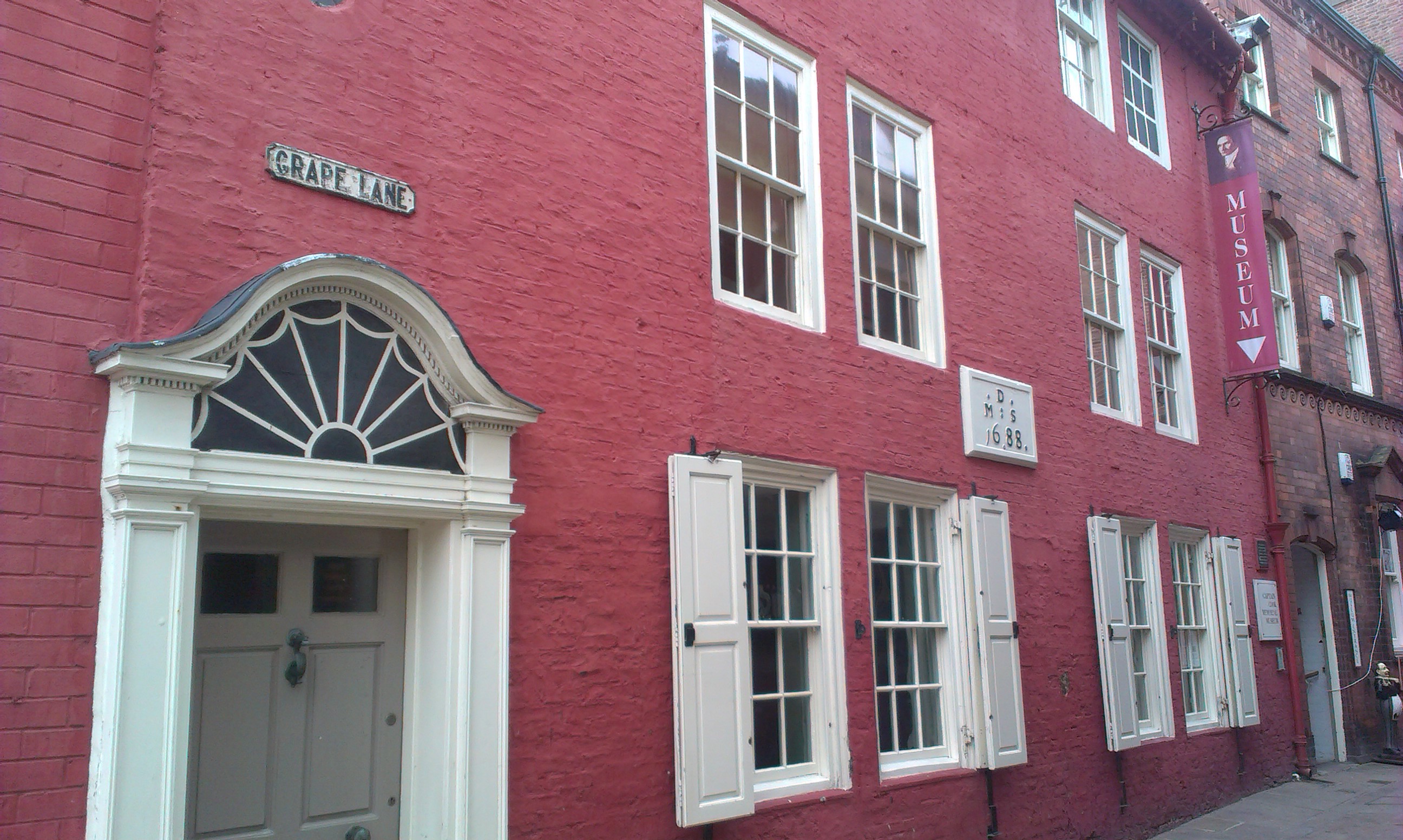
Captain Cook Memorial Museum
Captain Cook Memorial Museum is a history museum in Whitby, North Yorkshire, England. The museum building, Walker's House, belonged to Captain John Walker...
Nearby Amenities
Located within 500m of 54.482863,-0.57961983Have you been to Smugglers' Hole?
Leave your review of Smugglers' Hole below (or comments, questions and feedback).