South Binness Island
Island in Hampshire Havant
England
South Binness Island
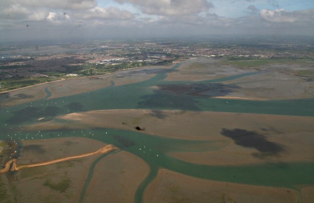
South Binness Island is a small island located off the coast of Hampshire, England. It is situated in the Solent, a strait famous for its strong tidal currents and maritime activity. The island covers an area of approximately 3 square kilometers and has a population of around 250 residents.
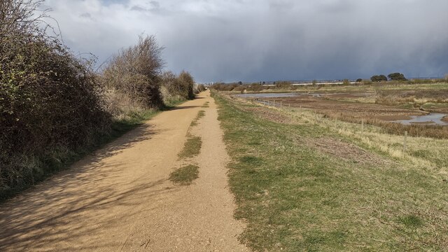
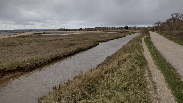
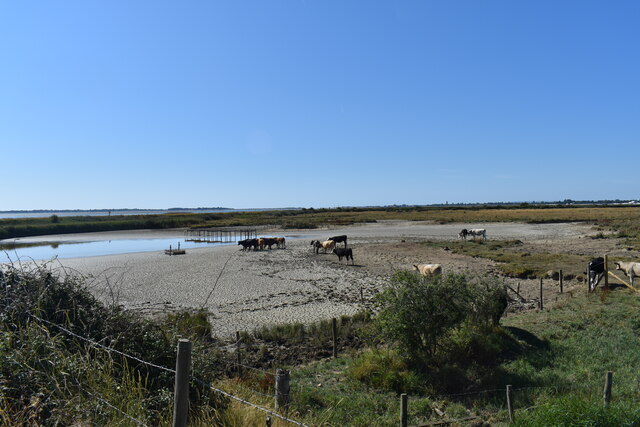
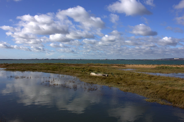
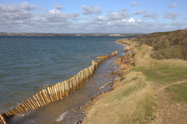
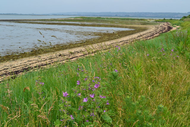
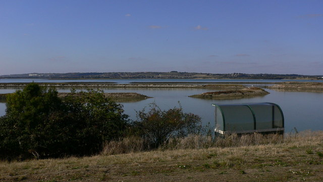
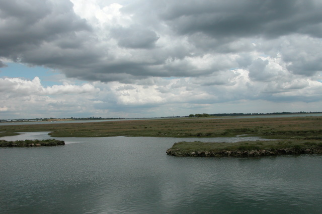
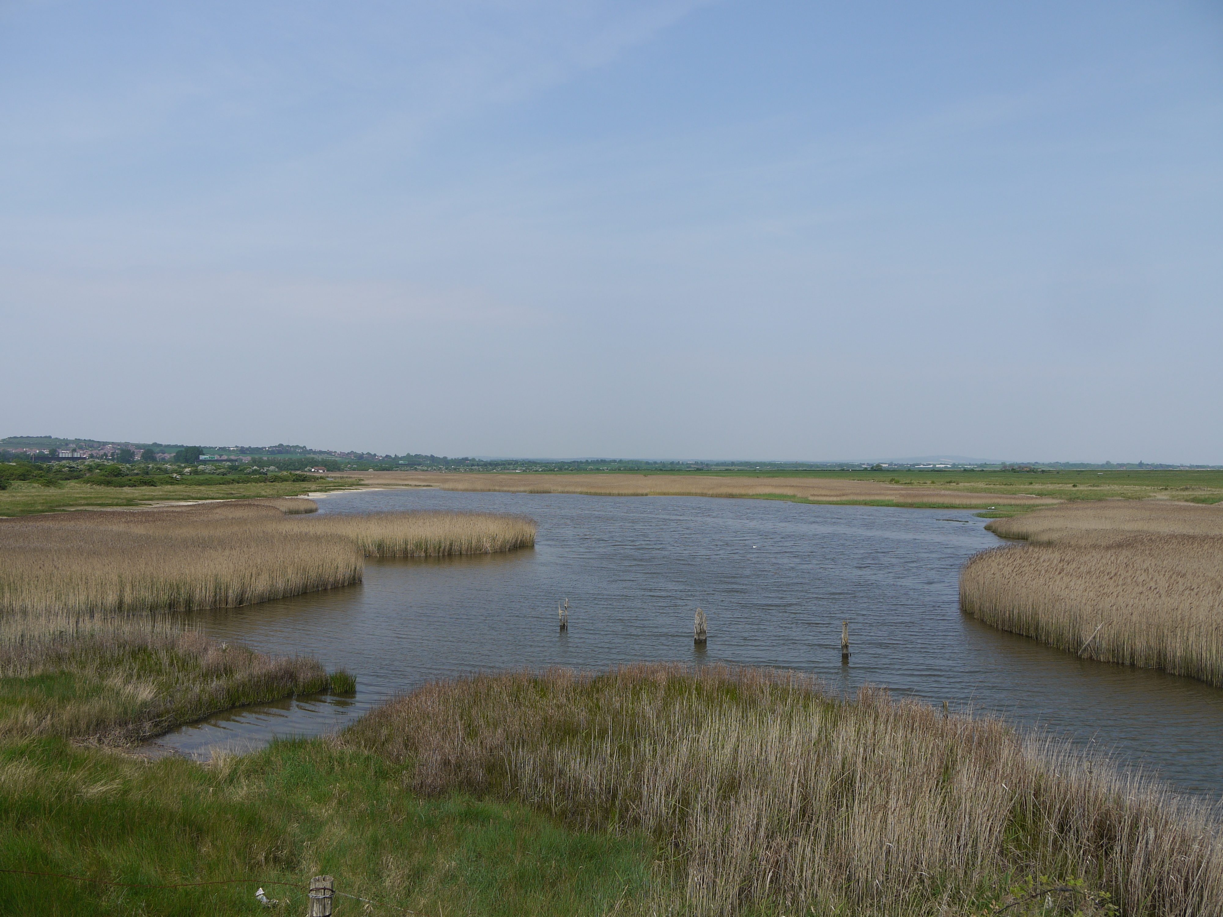
Geographically, South Binness Island is mostly flat, with a combination of marshlands, sand dunes, and some areas of low-lying grassland. The island is known for its diverse wildlife, including various bird species, rabbits, and occasional seals. The surrounding waters are rich in marine life, making it a popular spot for fishing and sailing enthusiasts.
Access to the island is primarily by boat, with regular ferry services operating from the mainland. The main settlement on South Binness Island is the village of Binness, which consists of a cluster of traditional cottages, a small church, and a pub. The community is close-knit, with a strong sense of community spirit.
The island's economy is predominantly based on tourism and agriculture. Many visitors are drawn to South Binness Island for its scenic beauty, nature reserves, and opportunities for outdoor activities such as walking, cycling, and birdwatching. The island also boasts a small number of farms, producing local produce and maintaining a traditional way of life.
Overall, South Binness Island offers a tranquil and picturesque escape from mainland Hampshire, where visitors can immerse themselves in nature and enjoy a slower pace of life.
If you have any feedback on the listing, please let us know in the comments section below.
South Binness Island Images
Images are sourced within 2km of 50.824227/-1.0097692 or Grid Reference SU6903. Thanks to Geograph Open Source API. All images are credited.


South Binness Island is located at Grid Ref: SU6903 (Lat: 50.824227, Lng: -1.0097692)
Administrative County: Hampshire
District: Havant
Police Authority: Hampshire
What 3 Words
///catch.period.finger. Near Havant, Hampshire
Nearby Locations
Related Wikis

South Binness Island
South Binness Island is an island in Langstone Harbour. It is 600 metres (660 yd) long and up to 240 metres (260 yd) wide but only rises to 2 metres (7...
Baker's Island
Baker's Island is an island in Langstone Harbour, Hampshire, England. It is 400 m (1,300 ft) long and up to 300 m (980 ft) wide but only rises to a little...

Langstone Harbour
Langstone Harbour is a 2,085.4-hectare (5,153-acre) biological Site of Special Scientific Interest in Hampshire. It is an inlet of the English Channel...

Long Island (Hampshire)
Long Island is an island in Langstone Harbour in Hampshire, England. It is 750 metres (820 yd) long and up to 250 metres (270 yd) wide. Three Bronze Age...
West Hayling
West Hayling is a 76.2-hectare (188-acre) Local Nature Reserve on Hayling Island in Hampshire. It is owned by Havant Borough Council and managed by the...
North Binness Island
North Binness Island is an island in Langstone Harbour It is 900 metres (980 yd) long and up to 250 metres (270 yd) wide but only rises to 2.5 metres...

Staunton Way
The Staunton Way is a 20.5 mile recreational circular walk in Hampshire, southern England, that connects Queen Elizabeth Country Park to Staunton Country...
Farlington Marshes
Farlington Marshes is a 119.7-hectare (296-acre) Local Nature Reserve in Portsmouth in Hampshire. It is owned by Portsmouth City Council and managed by...
Nearby Amenities
Located within 500m of 50.824227,-1.0097692Have you been to South Binness Island?
Leave your review of South Binness Island below (or comments, questions and feedback).