Baker's Island
Island in Hampshire Havant
England
Baker's Island

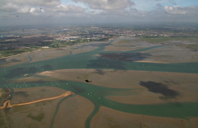
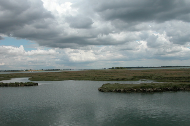
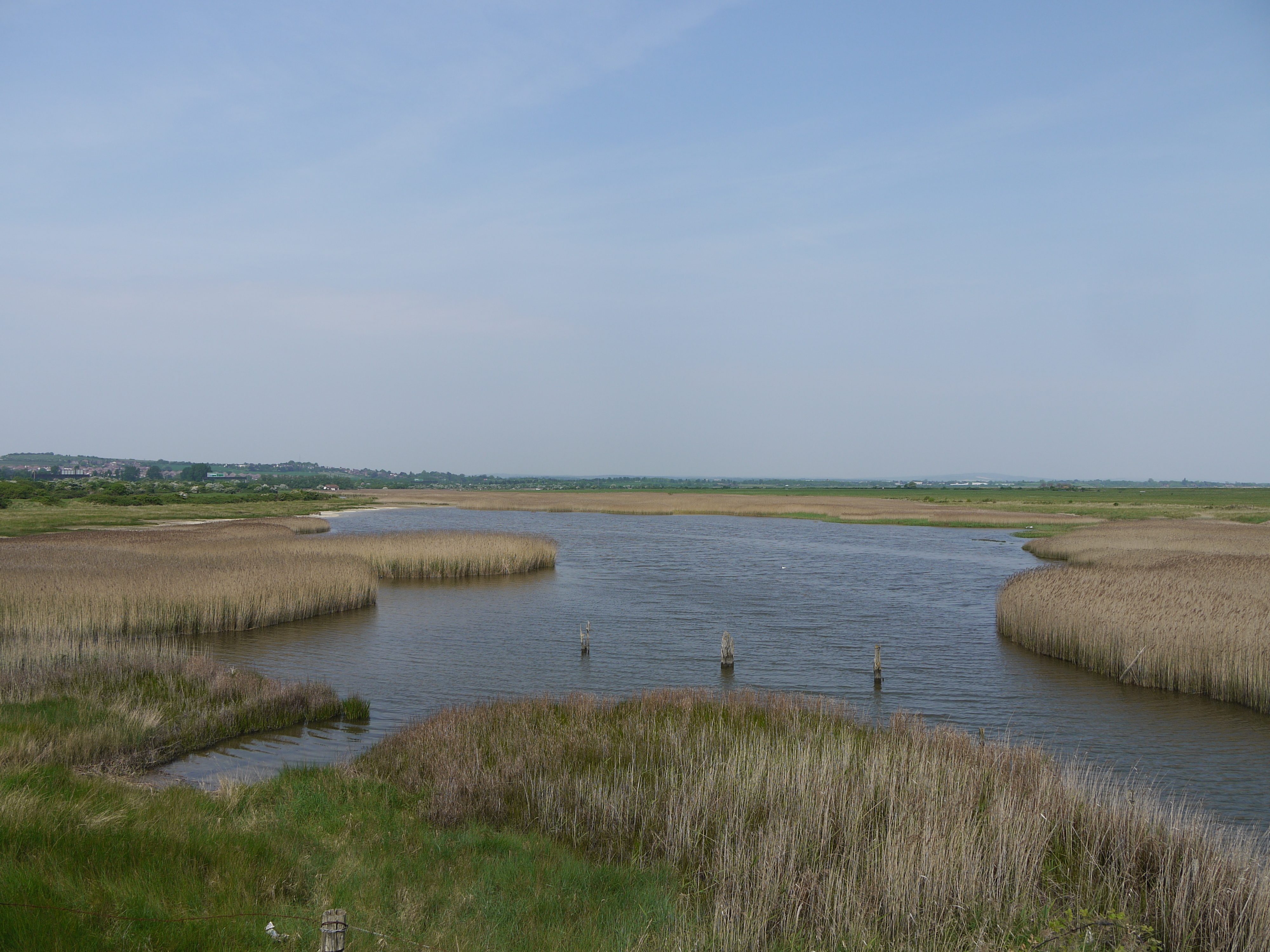
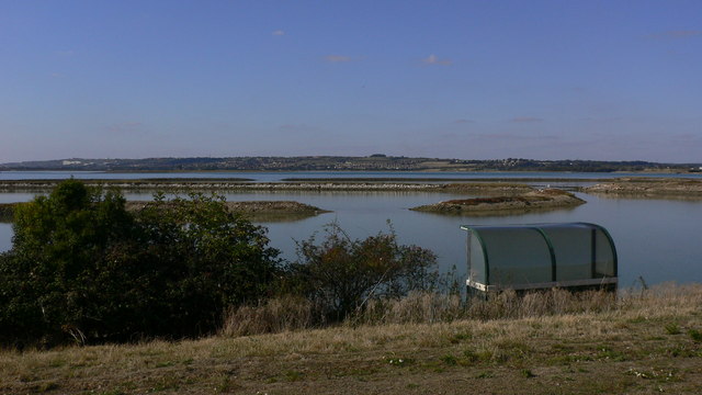
Baker's Island is a small uninhabited island located off the coast of Hampshire, England. It is situated in the Solent, a strait that separates the Isle of Wight from the mainland. The island covers an area of approximately 1.5 hectares and is known for its rich natural beauty and historical significance.
The island is named after a local family who owned it in the 18th century. It has no permanent residents or structures, making it a peaceful and untouched natural habitat. The island is privately owned and is not accessible to the public without permission.
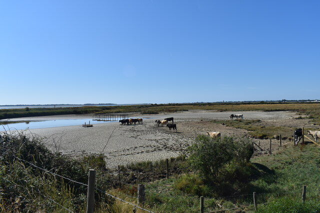
Baker's Island is home to a diverse range of flora and fauna, with a variety of bird species nesting on its shores. It is also an important breeding ground for seals, and their presence is often observed by passing boats.
The island has a fascinating history, with evidence of human activity dating back to the Neolithic period. During the Roman era, it was used as a trading post due to its strategic location. In more recent times, it served as a lookout point during both World Wars.
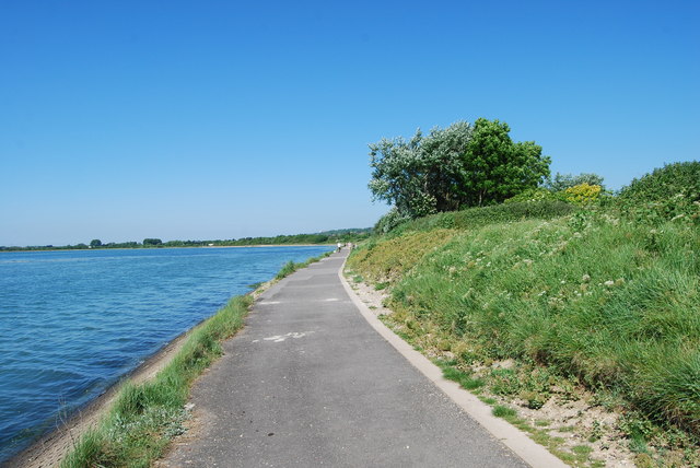
While Baker's Island is not open to the public, it can be admired from a distance during boat trips around the Solent. Its picturesque landscape and rich history make it a popular attraction for those exploring the Hampshire coastline.
If you have any feedback on the listing, please let us know in the comments section below.
Baker's Island Images
Images are sourced within 2km of 50.827822/-1.0147764 or Grid Reference SU6903. Thanks to Geograph Open Source API. All images are credited.


Baker's Island is located at Grid Ref: SU6903 (Lat: 50.827822, Lng: -1.0147764)
Administrative County: Hampshire
District: Havant
Police Authority: Hampshire
What 3 Words
///paint.deflection.rock. Near Havant, Hampshire
Nearby Locations
Related Wikis

Baker's Island
Baker's Island is an island in Langstone Harbour, Hampshire, England. It is 400 m (1,300 ft) long and up to 300 m (980 ft) wide but only rises to a little...
South Binness Island
South Binness Island is an island in Langstone Harbour. It is 600 metres (660 yd) long and up to 240 metres (260 yd) wide but only rises to 2 metres (7...

Long Island (Hampshire)
Long Island is an island in Langstone Harbour in Hampshire, England. It is 750 metres (820 yd) long and up to 250 metres (270 yd) wide. Three Bronze Age...
North Binness Island
North Binness Island is an island in Langstone Harbour It is 900 metres (980 yd) long and up to 250 metres (270 yd) wide but only rises to 2.5 metres...

Langstone Harbour
Langstone Harbour is a 2,085.4-hectare (5,153-acre) biological Site of Special Scientific Interest in Hampshire. It is an inlet of the English Channel...
Farlington Marshes
Farlington Marshes is a 119.7-hectare (296-acre) Local Nature Reserve in Portsmouth in Hampshire. It is owned by Portsmouth City Council and managed by...
West Hayling
West Hayling is a 76.2-hectare (188-acre) Local Nature Reserve on Hayling Island in Hampshire. It is owned by Havant Borough Council and managed by the...
Southmoor Nature Reserve
Southmoor Nature Reserve is a 11-hectare (27-acre) nature reserve in Havant in Hampshire. It is managed by the Hampshire and Isle of Wight Wildlife Trust...
Nearby Amenities
Located within 500m of 50.827822,-1.0147764Have you been to Baker's Island?
Leave your review of Baker's Island below (or comments, questions and feedback).