The Holm

Island in Shetland

Scotland

The Holm

Lamba Stack and Bound Skerry Fine rock scenery with the sea-girt Lamba Stack in the foreground and the lighthouse on Bound Skerry, the most easterly point of Scotland, in the distance.
Lamba Stack and Bound Skerry Credit: Greg Fitchett

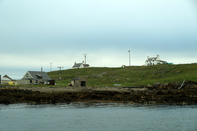
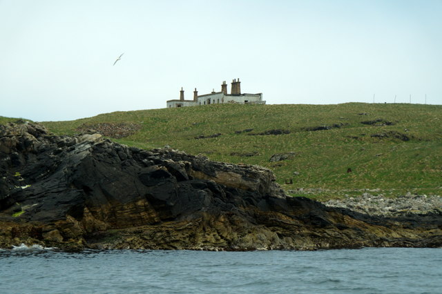
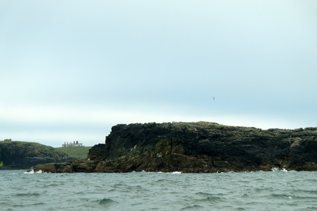
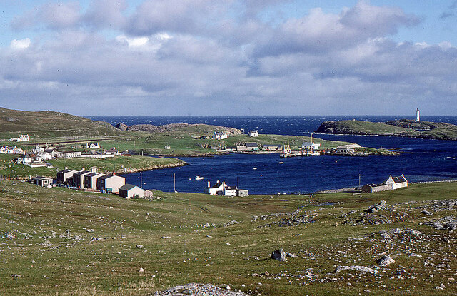
The Holm is a small island located in the Shetland archipelago, situated off the northeastern coast of Scotland. It forms part of the North Isles group of islands, along with its neighboring isles of Unst and Fetlar. The Holm stretches over an area of approximately 1.5 square miles.

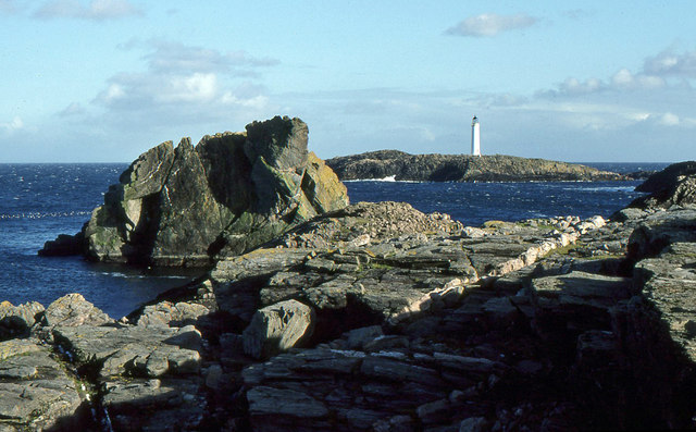
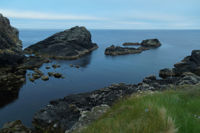
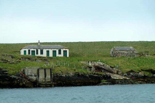
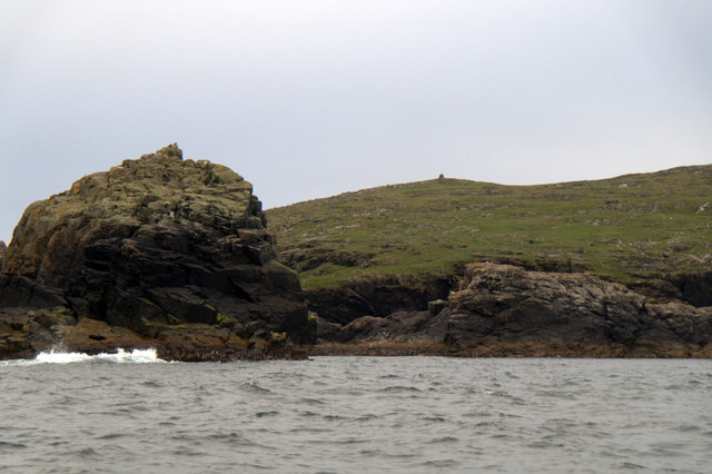
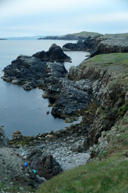
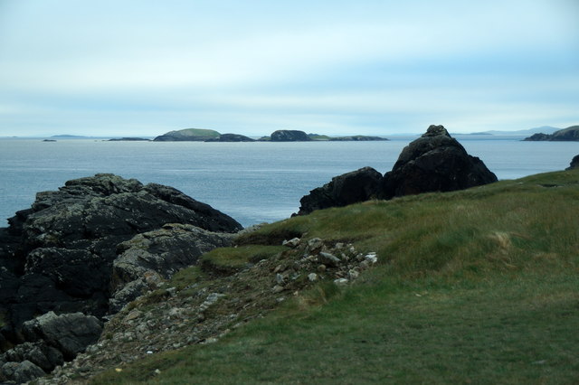
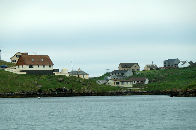
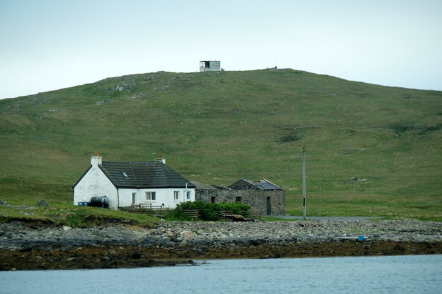
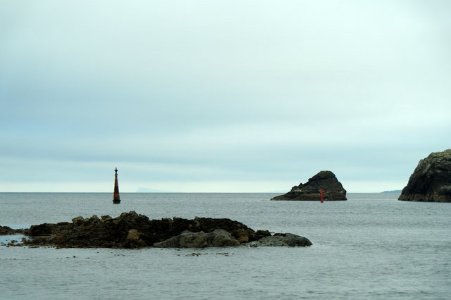
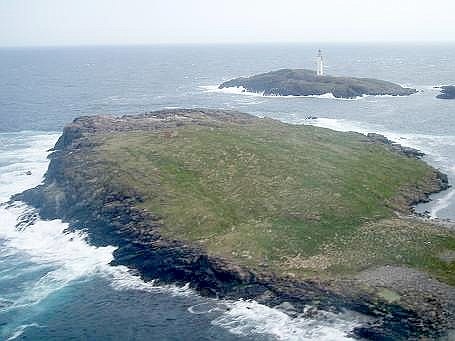
The island is characterized by its rugged and picturesque landscape, with rocky cliffs, pebbly beaches, and rolling hills. The Holm is largely uninhabited, with no permanent residents residing on the island. However, it is a popular destination for outdoor enthusiasts, nature lovers, and birdwatchers who visit to explore its untamed beauty.

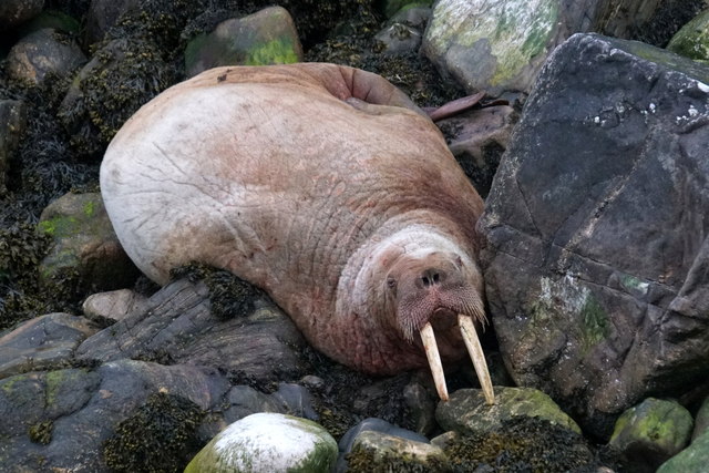
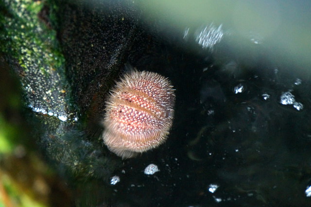
The Holm is home to a diverse range of wildlife, including seabirds such as puffins, guillemots, and kittiwakes, which nest along the cliffs and coastal areas. The island also boasts a variety of plant species, including heather, wildflowers, and grasses, adding to its natural charm.

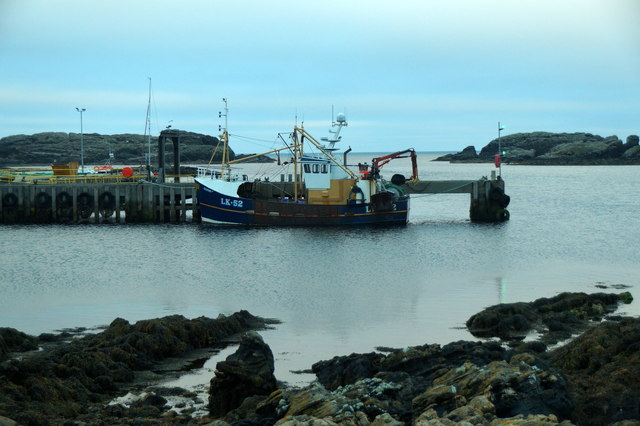
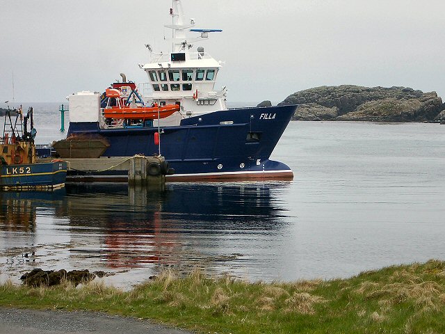
Access to The Holm is primarily by boat, with regular ferry services connecting it to the mainland and other nearby islands. The island offers limited facilities, with no shops or amenities available, making it a remote and tranquil escape for those seeking solitude and a connection with nature.

The Holm's unique and unspoiled environment, combined with its stunning scenery, make it a haven for photographers, hikers, and wildlife enthusiasts. Its isolation and untouched beauty provide an opportunity to experience the raw and captivating nature of the Shetland Islands.

If you have any feedback on the listing, please let us know in the comments section below.

The Holm Images

Images are sourced within 2km of 60.419027/-0.76792615 or Grid Reference HU6771. Thanks to Geograph Open Source API. All images are credited.

Lamba Stack and Bound Skerry Fine rock scenery with the sea-girt Lamba Stack in the foreground and the lighthouse on Bound Skerry, the most easterly point of Scotland, in the distance.
Lamba Stack and Bound Skerry
Fine rock scenery with the sea-girt Lamba Stack in the foreground and the lighthouse on Bound Skerry, the most easterly point of Scotland, in the distance.
Holm Geo, Out Skerries
Walrus (Odobenus rosmarus), Holm Geo, Out Skerries This individual has been touring northern Scotland for several weeks, and has finally paid Shetland a visit.
Walrus (Odobenus rosmarus), Holm Geo, Out Skerries
This individual has been touring northern Scotland for several weeks, and has finally paid Shetland a visit.
LK52 Renown at Out Skerries pier
Buildings on Grunay, Out Skerries
Lamba Stack and Bruray Ward, Out Skerries
Holm Geo, Out Skerries Looking towards the skerries known as the Benelips.
Holm Geo, Out Skerries
Looking towards the skerries known as the Benelips.
Holm Geo, Out Skerries
The view to the Benelips from Holm Geo, Out Skerries
Sea urchin on the pier at Out Skerries The Shetland name for the sea urchin in 'scaddy man's heid'.
Sea urchin on the pier at Out Skerries
The Shetland name for the sea urchin in 'scaddy man's heid'.
Houses on Out Skerries
House on Housay, Out Skerries
The south mouth of Out Skerries harbour
Houses on Bruray, Out Skerries
Building on Grunay, Out Skerries
Approaching Out Skerries from the north Flat Lamba Skerry in the foreground.
Approaching Out Skerries from the north
Flat Lamba Skerry in the foreground.
Out Skerries The view from Housay. In the centre foreground is the post office and across South Mouth is the ferry pier on Bruray with its airstrip visible on the left.
Out Skerries Lighthouse is on the small islet of Bound Skerry off Grunay.
Out Skerries
The view from Housay. In the centre foreground is the post office and across South Mouth is the ferry pier on Bruray with its airstrip visible on the left. Out Skerries Lighthouse is on the small islet of Bound Skerry off Grunay.
Out Skerries harbour The ferry has just berthed.
Out Skerries harbour
The ferry has just berthed.
Show me another place!

The Holm is located at Grid Ref: HU6771 (Lat: 60.419027, Lng: -0.76792615)

Unitary Authority: Shetland Islands

Police Authority: Highlands and Islands

What 3 Words

///stunning.jigging.depths. Near Symbister, Shetland Islands

Related Wikis

Out Skerries

The Out Skerries are an archipelago of islets, some inhabited, in Shetland, Scotland, and are the easternmost part of Shetland. Locally, they are usually...

Housay

Housay, also known as West Isle, is one of the three islands that form the Out Skerries island group, the most easterly part of the Shetland Isles. �...

Bruray

Bruray is one of the three Out Skerries islands of Shetland, and contains Scotland's most easterly settlement. It is separated from Housay by North Mouth...

Grunay

Grunay is an uninhabited island in the Out Skerries group, the most easterly part of Shetland, Scotland. Its area is 55.58 acres, or 22.49 hectares. The...

Nearby Amenities

Located within 500m of 60.419027,-0.76792615
Generator Method: wind_turbine
Generator Source: wind
Generator Type: horizontal_axis
Height: 10
Power: generator
Lat/Long: 60.4203915/-0.7637378
Cinema
Lat/Long: 60.4228845/-0.7672486
Leisure: fitness_centre
Lat/Long: 60.4229806/-0.7671424
Power: pole
Lat/Long: 60.4228728/-0.7670738
Power: pole
Lat/Long: 60.4228797/-0.7662874
Power: pole
Lat/Long: 60.4226815/-0.7652919
Power: pole
Lat/Long: 60.4233573/-0.7660197
Power: pole
Lat/Long: 60.4223855/-0.7665523
Power: pole
Lat/Long: 60.4223208/-0.7674
Power: pole
Lat/Long: 60.4222383/-0.7684178
Power: pole
Lat/Long: 60.4221708/-0.7692209
Power: pole
Lat/Long: 60.4220428/-0.7708243
Power: pole
Lat/Long: 60.4219561/-0.7718449
Power: pole
Lat/Long: 60.4218584/-0.7730523
Power: pole
Lat/Long: 60.4217207/-0.774639
Power: pole
Lat/Long: 60.4226009/-0.7640106
Power: pole
Lat/Long: 60.4225232/-0.7649684
Power: pole
Lat/Long: 60.4230008/-0.763814
Power: pole
Lat/Long: 60.422859/-0.7633176
The data included in this document is from www.openstreetmap.org. The data is made available under ODbL.

Have you been to The Holm?

Leave your review of The Holm below (or comments, questions and feedback).