South Mills
Sea, Estuary, Creek in Shetland
Scotland
South Mills
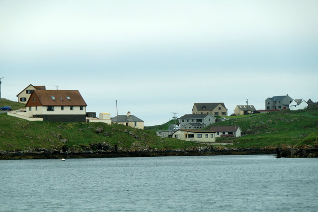
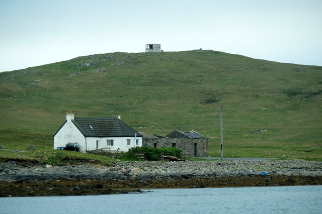
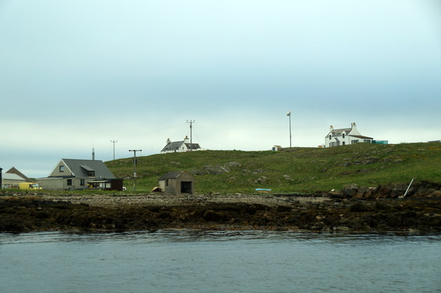
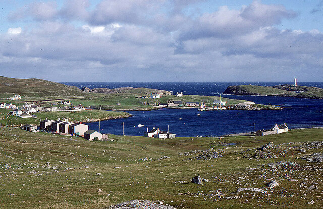
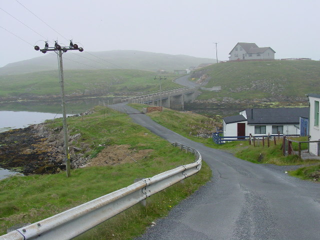
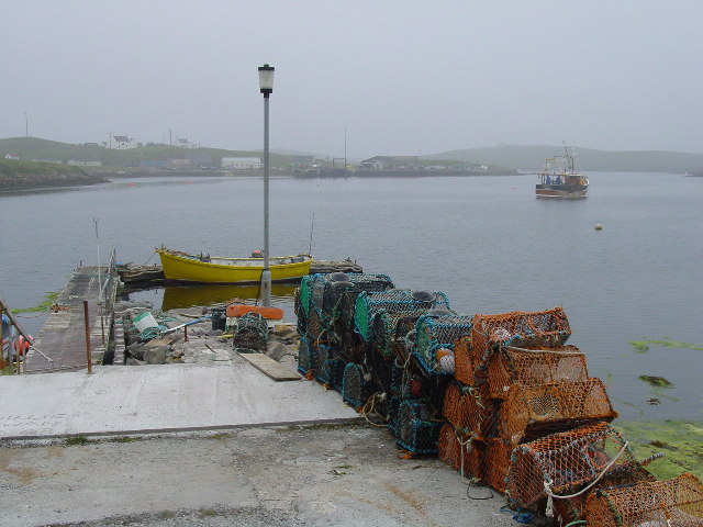
South Mills, located in the Shetland Islands, is a picturesque coastal area surrounded by the North Sea. Situated on the eastern side of the mainland, it encompasses a diverse range of natural features including a sea, estuary, and creek.
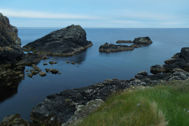
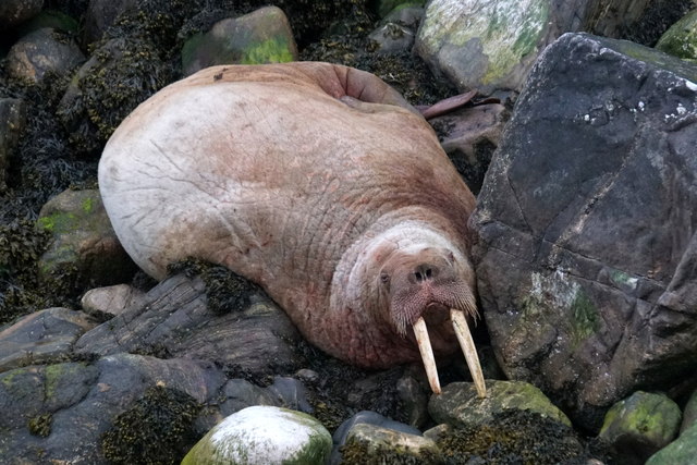
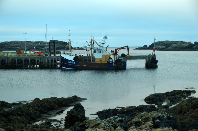
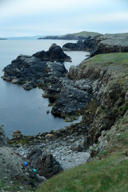
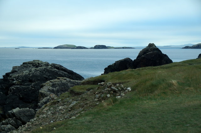
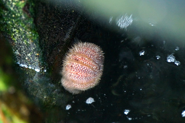
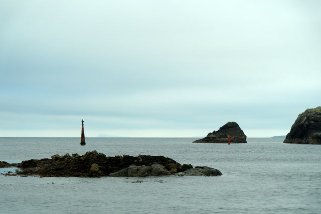
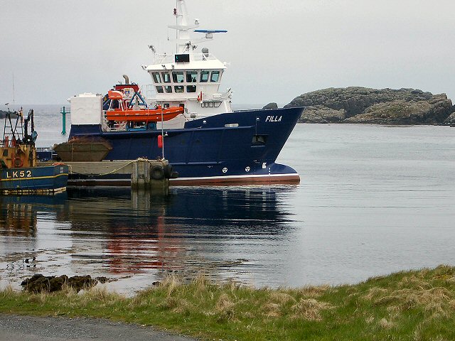
The South Mills sea offers stunning views of expansive blue waters, with rugged cliffs and rocky shores adding to its dramatic beauty. It provides a habitat for various marine species, including seals, seabirds, and fish, making it an ideal location for wildlife enthusiasts and birdwatchers. The sea also holds historical significance, as it was once a bustling fishing ground for local communities.
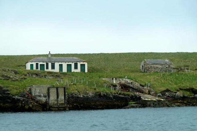
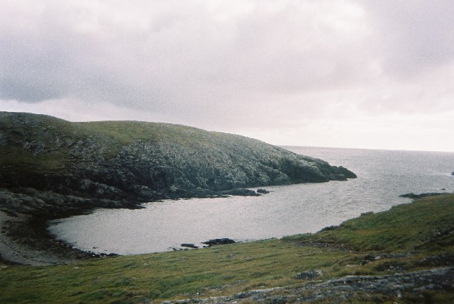
Adjacent to the sea is the South Mills estuary, an area where a river meets the sea, creating a unique ecosystem. This estuary serves as a refuge for a wide range of bird species, especially during the winter months when migratory birds seek shelter and food. It is a haven for wading birds such as curlews, oystercatchers, and sandpipers, which can be observed feeding and nesting along its muddy banks.
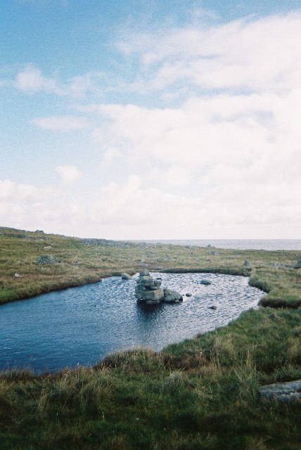
Further inland, the South Mills creek meanders through the countryside, offering a peaceful and tranquil setting. Lined with reeds and grasses, the creek provides a habitat for smaller wildlife, including otters, water voles, and various species of fish. Its calm waters make it an ideal spot for kayaking, canoeing, and fishing.
Overall, South Mills in Shetland is a captivating area that showcases the natural beauty and diversity of the region. With its sea, estuary, and creek, it offers a range of recreational activities and opportunities to explore the rich flora and fauna that thrives in this coastal paradise.
If you have any feedback on the listing, please let us know in the comments section below.
South Mills Images
Images are sourced within 2km of 60.419254/-0.77603515 or Grid Reference HU6771. Thanks to Geograph Open Source API. All images are credited.

South Mills is located at Grid Ref: HU6771 (Lat: 60.419254, Lng: -0.77603515)
Unitary Authority: Shetland Islands
Police Authority: Highlands and Islands
What 3 Words
///leopard.ridiculed.boast. Near Symbister, Shetland Islands
Nearby Locations
Related Wikis

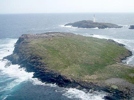
Out Skerries
The Out Skerries are an archipelago of islets, some inhabited, in Shetland, Scotland, and are the easternmost part of Shetland. Locally, they are usually...
Housay
Housay, also known as West Isle, is one of the three islands that form the Out Skerries island group, the most easterly part of the Shetland Isles. �...

Bruray
Bruray is one of the three Out Skerries islands of Shetland, and contains Scotland's most easterly settlement. It is separated from Housay by North Mouth...
Grunay
Grunay is an uninhabited island in the Out Skerries group, the most easterly part of Shetland, Scotland. Its area is 55.58 acres, or 22.49 hectares. The...
Nearby Amenities
Located within 500m of 60.419254,-0.77603515Have you been to South Mills?
Leave your review of South Mills below (or comments, questions and feedback).