Poplar Island
Island in Oxfordshire South Oxfordshire
England
Poplar Island
Poplar Island is a small, uninhabited island located in the River Thames in Oxfordshire, England. It is situated approximately 6 miles upstream from Oxford and is part of the parish of Wolvercote. The island is surrounded by lush greenery and is accessible only by boat.
With an area of around 2 acres, Poplar Island is relatively small but has a rich history. It was originally formed as a sandbank in the 18th century and was subsequently used for gravel extraction. The island was then transformed into a nature reserve in the 1990s, with the intention of providing a habitat for various species of birds and other wildlife.
The island is home to a diverse range of plant and animal life, making it a popular spot for nature enthusiasts and birdwatchers. It boasts a variety of bird species, including herons, kingfishers, and swans, which can be observed in their natural habitat. Visitors can also spot various water creatures such as fish and frogs in the surrounding river.
Due to its protected status as a nature reserve, access to Poplar Island is restricted to ensure the preservation of its ecosystem. However, the island can be viewed from the nearby Port Meadow and is a picturesque sight, particularly during the spring and summer months when the surrounding meadows are in full bloom.
Overall, Poplar Island is a beautiful and serene natural haven, offering a tranquil escape from the bustling city life of Oxford.
If you have any feedback on the listing, please let us know in the comments section below.
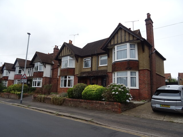
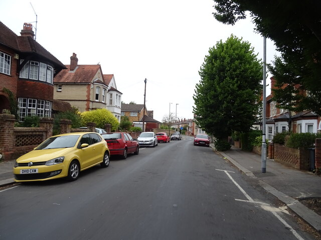
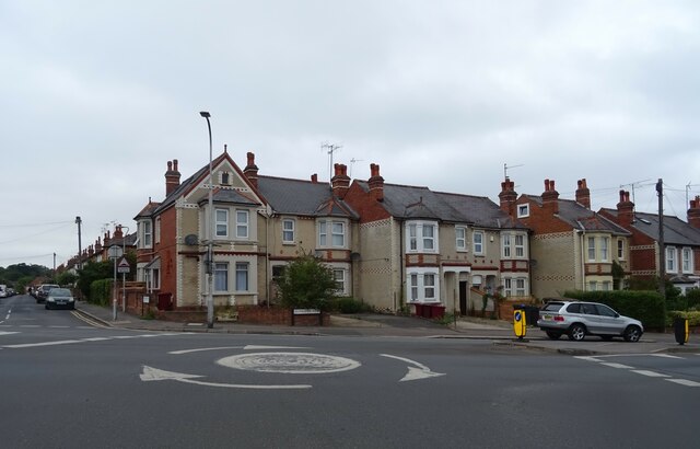
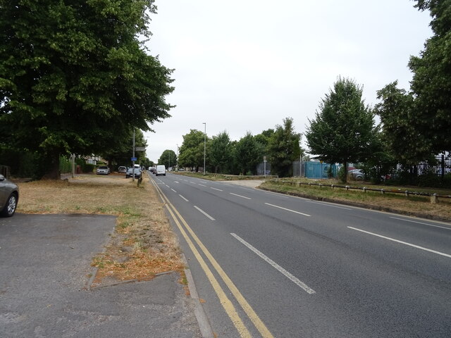
Poplar Island Images
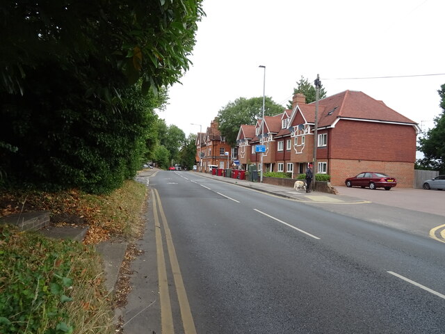
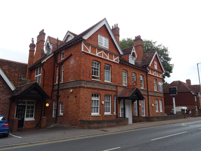
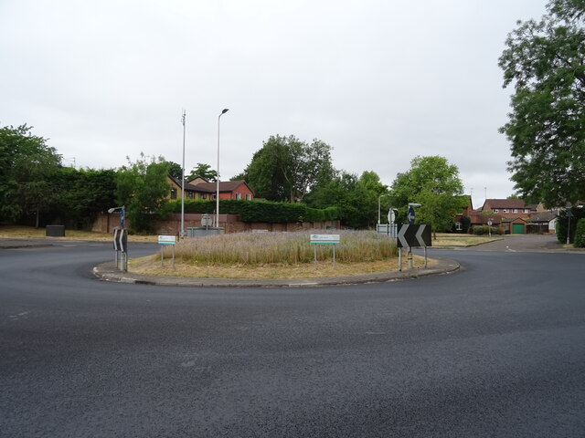
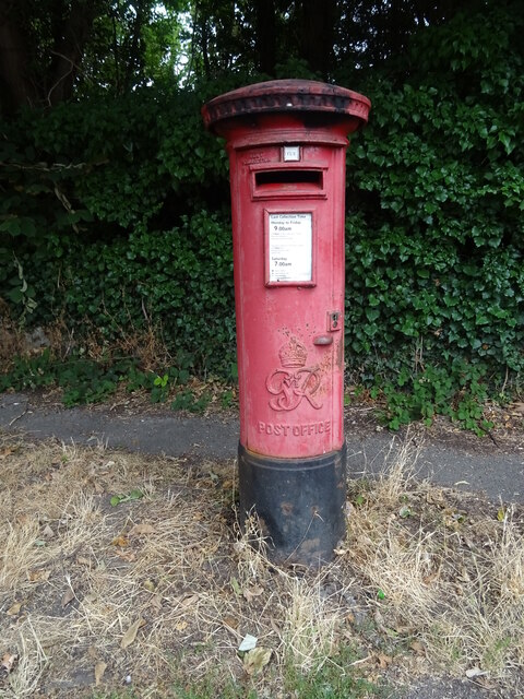
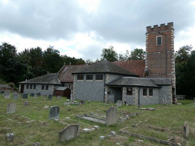
Images are sourced within 2km of 51.468801/-1.0222718 or Grid Reference SU6874. Thanks to Geograph Open Source API. All images are credited.


Poplar Island is located at Grid Ref: SU6874 (Lat: 51.468801, Lng: -1.0222718)
Administrative County: Oxfordshire
District: South Oxfordshire
Police Authority: Thames Valley
What 3 Words
///punt.slide.method. Near Tilehurst, Berkshire
Nearby Locations
Related Wikis

Poplar Island, River Thames
Poplar Island is an island in the River Thames in the parish of Mapledurham, Oxfordshire, near Reading, England.The island is on the reach above Caversham...

Appletree Eyot
Appletree Eyot is an island in the River Thames at Reading, Berkshire, in England. The island is on the reach above Caversham Lock about 3 km (1.9 mi)...
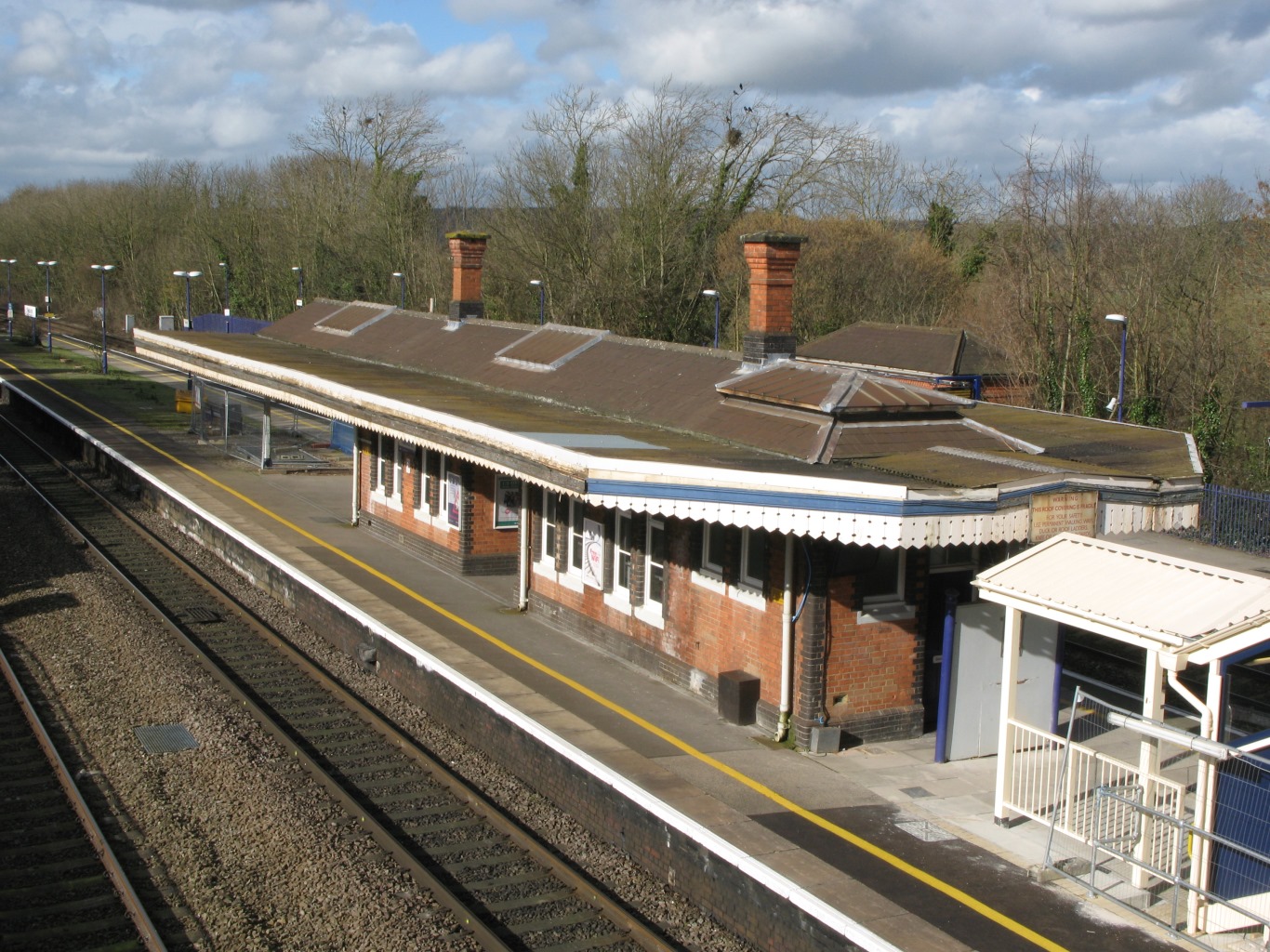
Tilehurst railway station
Tilehurst railway station serves the suburb and former village of Tilehurst, west of Reading, Berkshire, England. The station is on the extreme northern...

McIlroy Park
McIlroy Park is a 12-hectare (30-acre) Local Nature Reserve in Tilehurst, a suburb of Reading in Berkshire. It is owned and managed by Reading Borough...
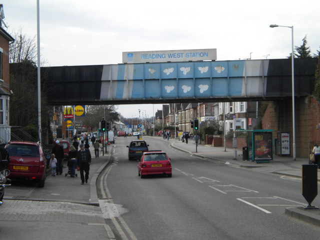
Oxford Road, Reading
Oxford Road is an urban street and major arterial road in Reading, Berkshire, England, Beginning near the town centre at the meeting of St. Mary's Butts/West...

Reading Festival bridge
The Reading Festival bridge is a temporary footbridge over the River Thames near Reading, Berkshire. First built in 2008, the bridge is installed annually...

Woodley United F.C.
Woodley United Football Club is a football club based in Woodley, Berkshire, England. Formed in 2015 by a merger of Woodley Town and Woodley Hammers, the...
Reading City F.C.
Reading City Football Club is a football club based in Reading, Berkshire, England. They are currently members of the Combined Counties League Premier...
Nearby Amenities
Located within 500m of 51.468801,-1.0222718Have you been to Poplar Island?
Leave your review of Poplar Island below (or comments, questions and feedback).