Ruir Holm
Island in Shetland
Scotland
Ruir Holm
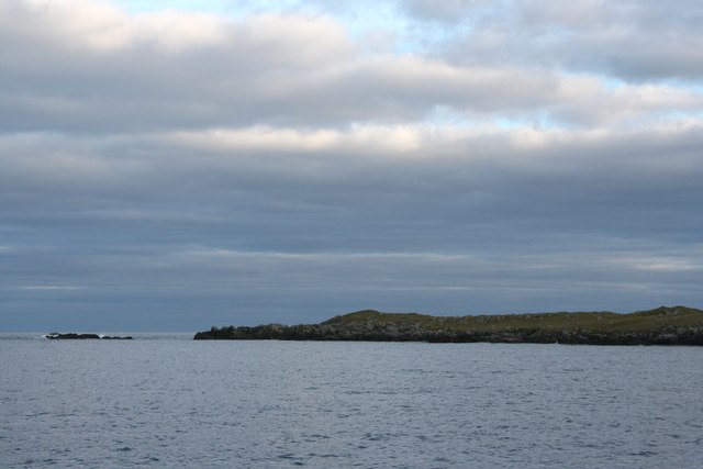
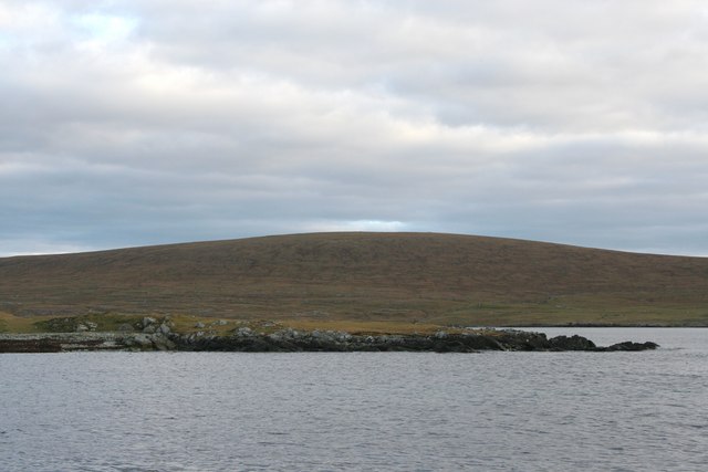
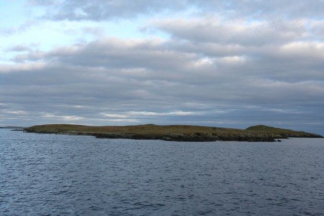
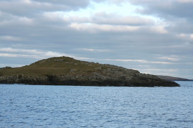
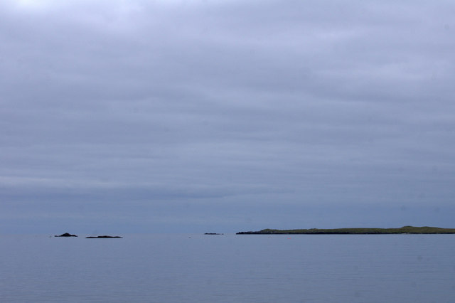
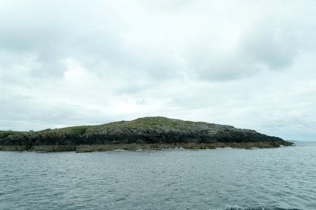
Ruir Holm is a small island located in the Shetland archipelago, which is situated off the northeast coast of Scotland. This uninhabited island, also known as Ru Ha, is part of the Out Skerries group of islands, lying approximately 24 kilometers east of the Shetland mainland.
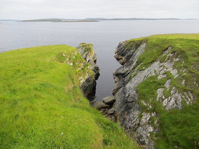
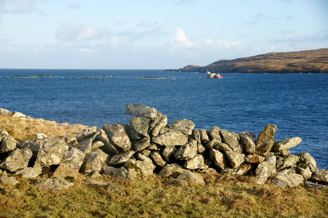
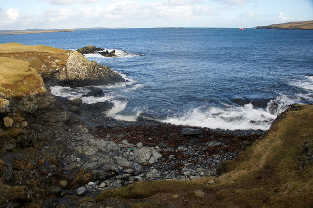
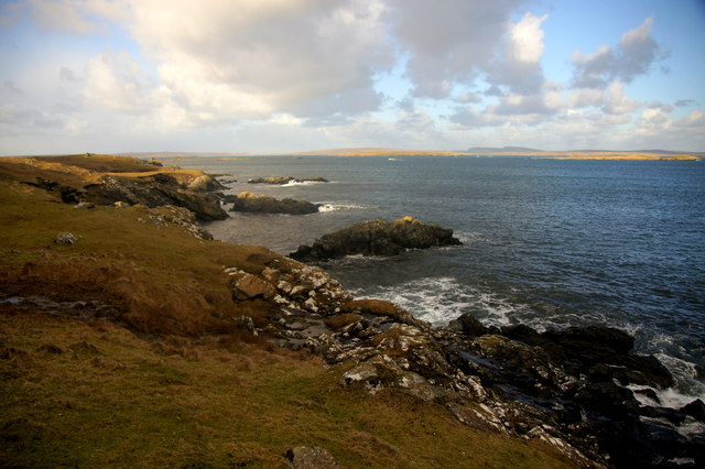
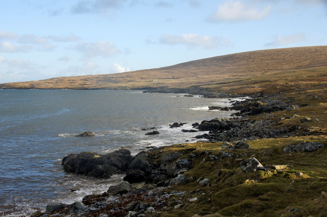
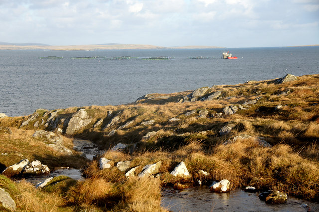
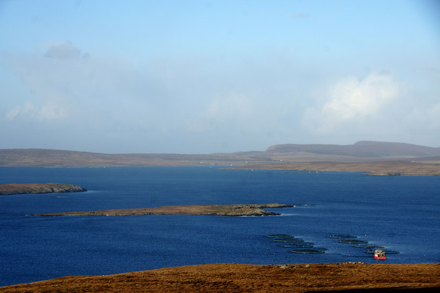
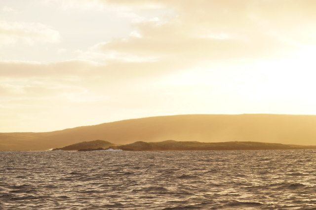
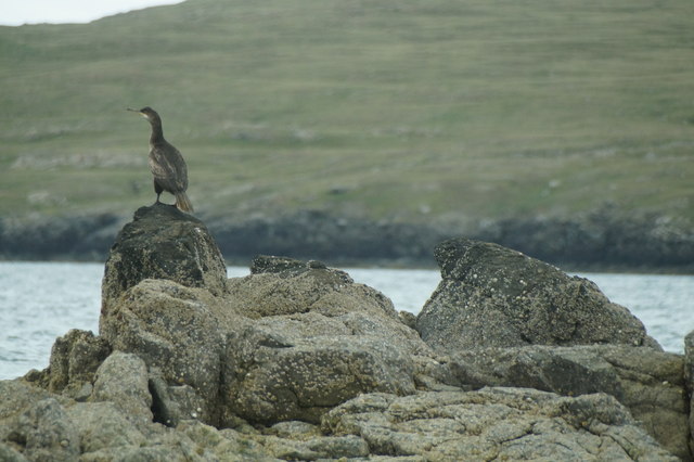
Ruir Holm spans an area of about 1 square kilometer and is characterized by its rugged and rocky terrain. The island is surrounded by cliffs, which provide nesting grounds for various seabird species, including guillemots and kittiwakes. These cliffs also offer breathtaking views of the North Sea.
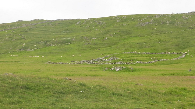
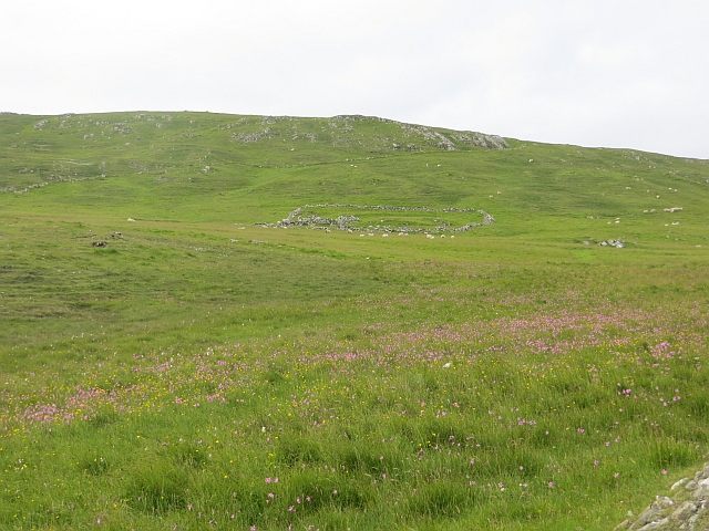
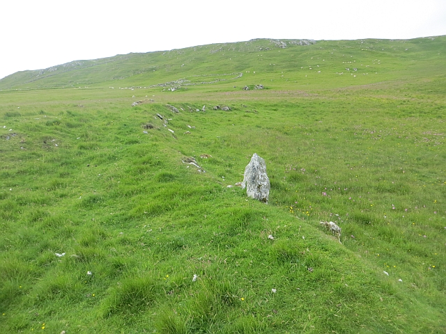
Despite its lack of human habitation, Ruir Holm has historical significance. It is believed to have been used as a fishing station in the past, with evidence of stone structures and fish drying racks still visible today. The island was also home to a small population of sheep, which served as a vital resource for the local communities.
Access to Ruir Holm is possible by boat, with visitors often taking guided tours to explore the island's natural beauty and archaeological remains. The surrounding waters are known for their abundance of marine life, making it a popular spot for fishing and birdwatching enthusiasts.
Overall, Ruir Holm offers a unique and untouched landscape, providing visitors with an opportunity to experience the natural wonders of the Shetland Islands.
If you have any feedback on the listing, please let us know in the comments section below.
Ruir Holm Images
Images are sourced within 2km of 60.635152/-0.90990616 or Grid Reference HU5995. Thanks to Geograph Open Source API. All images are credited.
Ruir Holm is located at Grid Ref: HU5995 (Lat: 60.635152, Lng: -0.90990616)
Unitary Authority: Shetland Islands
Police Authority: Highlands and Islands
What 3 Words
///twice.beaten.plunge. Near Houbie, Shetland Islands
Nearby Locations
Related Wikis

Urie Lingey
For other islands with similar names, see Linga (disambiguation) Urie Lingey is one of the Shetland Islands. It is between Fetlar and Unst, and Yell is...

Hamars Ness
Hamars Ness is a headland on the island of Fetlar in Shetland, Scotland. The name is from the Old Norse Hamarsnes meaning "craggy headland". A ro-ro ferry...

Sound Gruney
For other islands with similar names, see Gruney (disambiguation) Sound Gruney is one of the Shetland islands. It lies about 1.5 kilometres (0.93 mi)...

Funzie Girt
Funzie Girt (; Scots: Funyie Girt "Finns' dyke") is an ancient dividing wall that was erected from north to south across the island of Fetlar in Shetland...
Have you been to Ruir Holm?
Leave your review of Ruir Holm below (or comments, questions and feedback).