Braga
Island in Shetland
Scotland
Braga
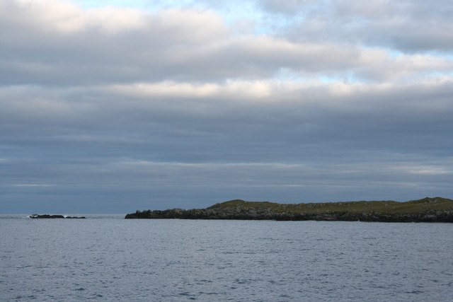
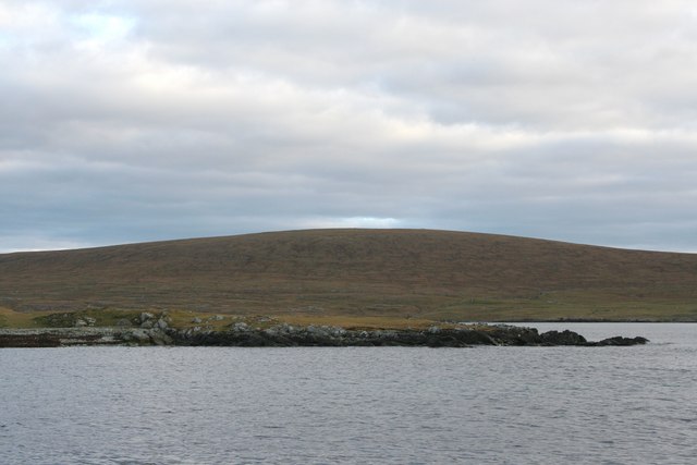
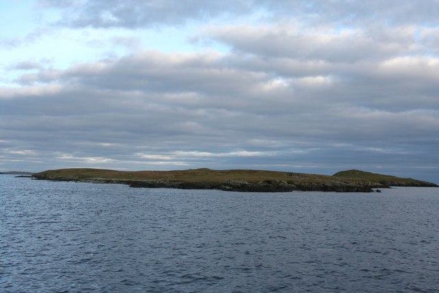
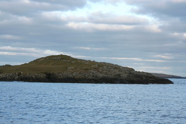
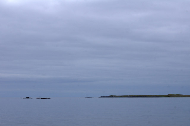
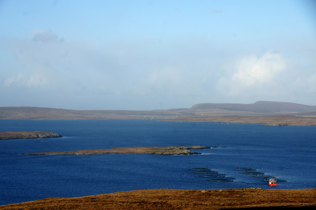
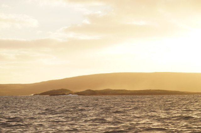
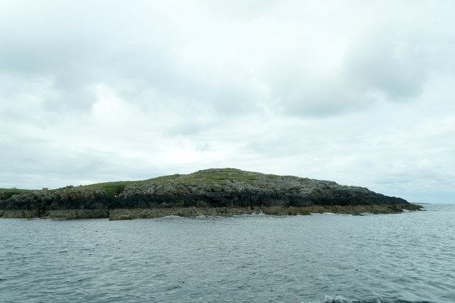
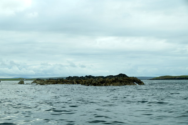
Braga is a small, uninhabited island located in the Shetland archipelago, which is part of Scotland, United Kingdom. It is situated in the North Atlantic Ocean, approximately 25 miles west of the Shetland mainland. The island covers an area of about 0.4 square miles and has a rocky coastline with stunning cliffs that rise dramatically from the sea.
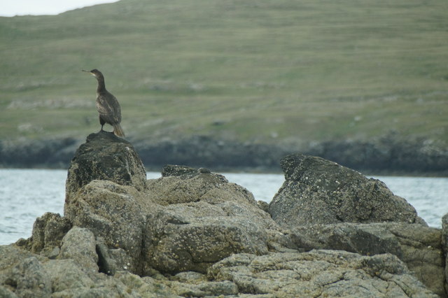
Braga is known for its rich birdlife and is a designated Special Protection Area due to its importance as a breeding ground for seabirds. The island is home to a variety of species, including puffins, guillemots, razorbills, and fulmars. It is also a popular spot for birdwatchers who visit to observe and study the diverse avian population.
The island's terrain is characterized by steep slopes and grassy areas, providing an ideal habitat for grazing sheep. Braga is also known for its wildflowers, which bloom during the summer months, adding vibrant colors to the landscape.
Access to Braga is limited, as there are no regular ferry services or accommodations on the island. However, it is possible to arrange boat trips or guided tours from nearby Shetland, allowing visitors to experience the natural beauty and wildlife of this remote location.
Overall, Braga offers a unique opportunity to immerse oneself in a pristine and untouched natural environment. The island's rugged cliffs, diverse birdlife, and tranquil atmosphere make it a must-visit destination for nature enthusiasts and those seeking a peaceful retreat away from the mainland.
If you have any feedback on the listing, please let us know in the comments section below.
Braga Images
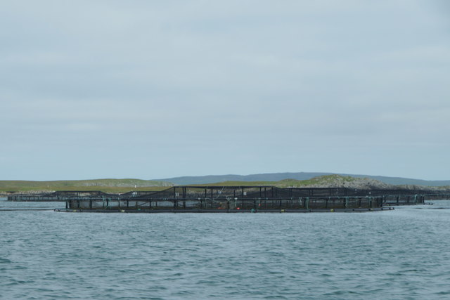
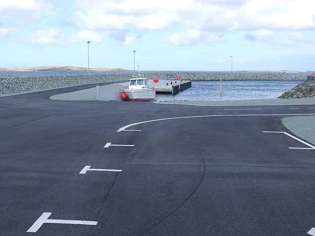
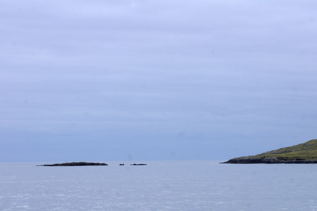
Images are sourced within 2km of 60.642799/-0.9149873 or Grid Reference HU5995. Thanks to Geograph Open Source API. All images are credited.


Braga is located at Grid Ref: HU5995 (Lat: 60.642799, Lng: -0.9149873)
Unitary Authority: Shetland Islands
Police Authority: Highlands and Islands
What 3 Words
///shudders.legwork.police. Near Uyeasound, Shetland Islands
Nearby Locations
Related Wikis

Urie Lingey
For other islands with similar names, see Linga (disambiguation) Urie Lingey is one of the Shetland Islands. It is between Fetlar and Unst, and Yell is...

Sound Gruney
For other islands with similar names, see Gruney (disambiguation) Sound Gruney is one of the Shetland islands. It lies about 1.5 kilometres (0.93 mi)...

Hamars Ness
Hamars Ness is a headland on the island of Fetlar in Shetland, Scotland. The name is from the Old Norse Hamarsnes meaning "craggy headland". A ro-ro ferry...

Uyea, Unst
Uyea (Scots: Uyea) is an uninhabited island, lying south of Unst in Shetland, Scotland. == Etymology == The Norn word for an island is øy so Uyea (pronounced...
Have you been to Braga?
Leave your review of Braga below (or comments, questions and feedback).