Little Horton

Settlement in Yorkshire

England

Little Horton

Multi-story car park, Hall Ings, Bradford The car park is being readied for demolition.
Multi-story car park, Hall Ings, Bradford Credit: habiloid

Little Horton is a small residential area located in the city of Bradford, West Yorkshire, England. Situated approximately 2 miles west of Bradford city center, it is part of the larger Horton district. Little Horton is bounded by the A6177 road to the west, the A650 road to the north, and the A6181 road to the east.

Known for its diverse population, Little Horton is a multicultural neighborhood with a mix of residential, commercial, and industrial areas. The housing in the area consists mainly of terraced houses and low-rise apartment buildings, catering to a range of incomes. The community benefits from several green spaces, including Horton Park and Lister Park, providing residents with recreational opportunities.

Little Horton is well-served by public transportation, with regular bus services connecting it to Bradford city center and surrounding areas. Additionally, the area is located near major road networks, making it easily accessible by car.

The neighborhood has a variety of amenities, including shops, restaurants, and schools, making it a convenient place to live. Additionally, Little Horton is home to the University of Bradford, which attracts students from all over the world.

Overall, Little Horton offers a vibrant and diverse community, characterized by its mix of residential and commercial areas, access to green spaces, and convenient transportation links.

If you have any feedback on the listing, please let us know in the comments section below.

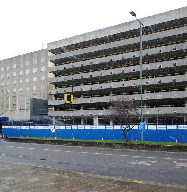
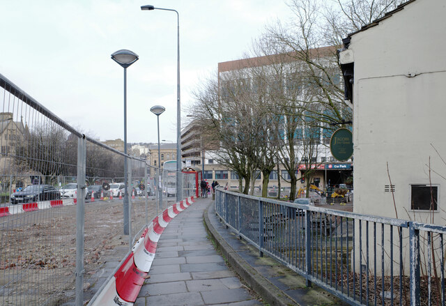
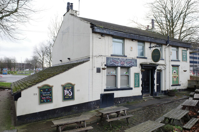
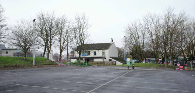
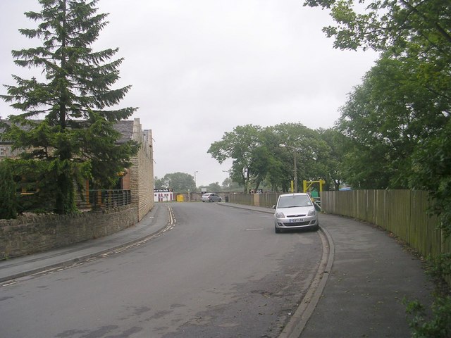
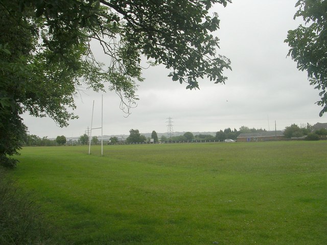
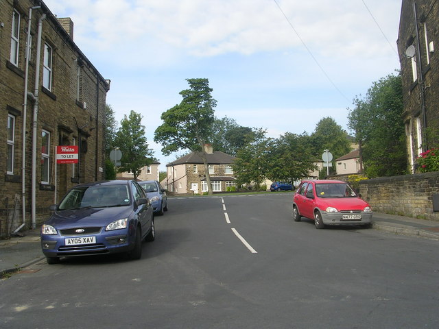
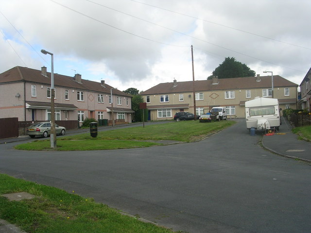
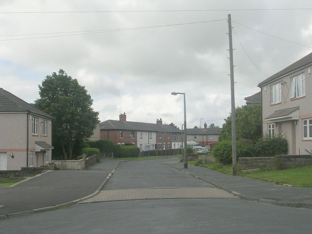
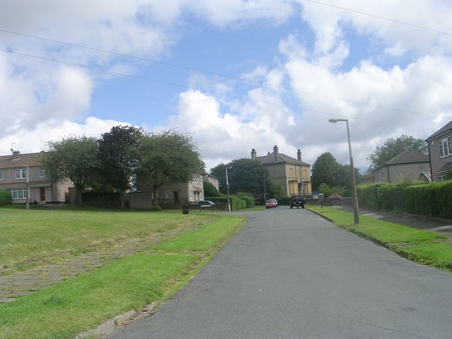
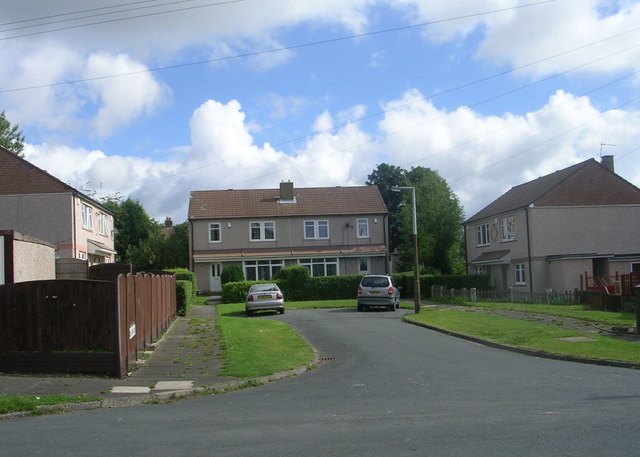
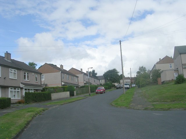
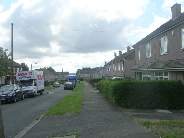
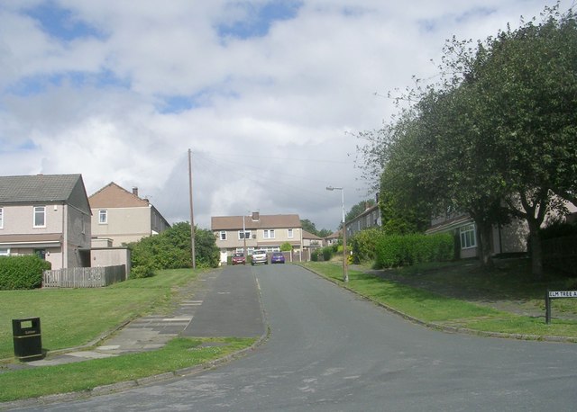
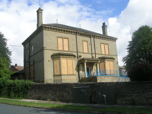
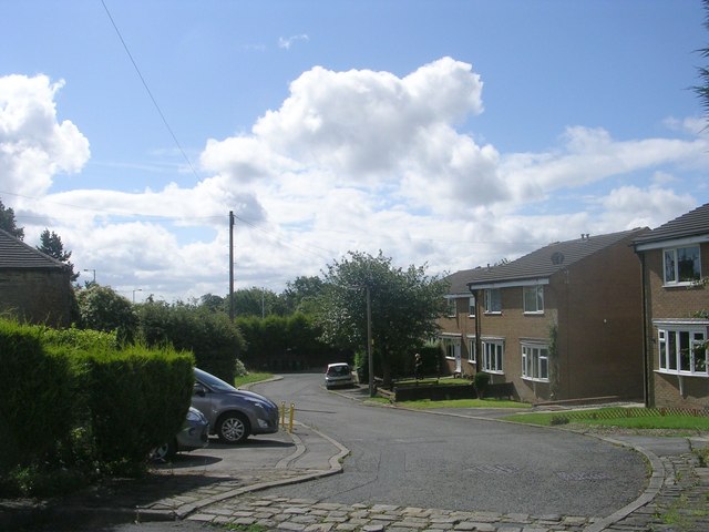
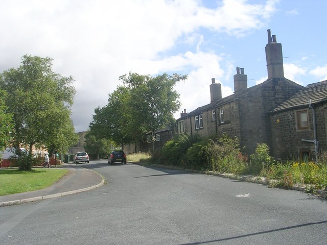
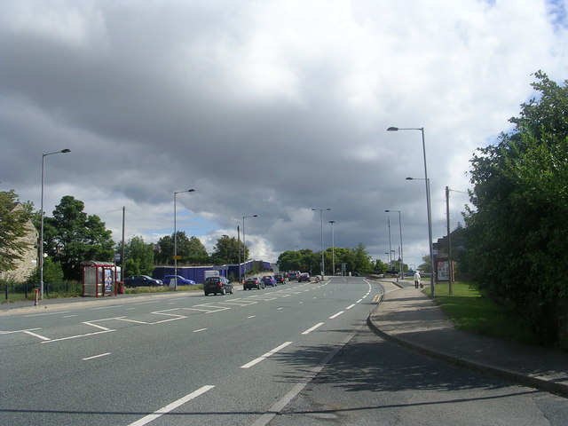
Little Horton Images

Images are sourced within 2km of 53.779607/-1.770058 or Grid Reference SE1531. Thanks to Geograph Open Source API. All images are credited.

Multi-story car park, Hall Ings, Bradford The car park is being readied for demolition.
Multi-story car park, Hall Ings, Bradford
The car park is being readied for demolition.
Hall Ings, Bradford
Hall Ings, Bradford
Jacob's Well seen from Hall Ings, Bradford
Jacob's Well car park, Bradford
Stadium Road - off Cleckheaton Road
Recreation Ground - Cleckheaton Road
Triangle - White Lane
Elm Tree Gardens - Elmfield Drive
Dawson Avenue - Elmfield Drive
Thornfield Avenue - Elmfield Drive
Elm Tree Close - Elmfield Drive
Elmfield Drive - viewed from Thornfield Avenue
Elm Tree Avenue - Thornfield Avenue
The former Odsal Clinic - viewed from Elmfield Drive
Hatton Close - Halifax Road
Halifax Road - viewed from Hatton Close
Show me another place!

Little Horton is located at Grid Ref: SE1531 (Lat: 53.779607, Lng: -1.770058)

Division: West Riding

Unitary Authority: Bradford

Police Authority: West Yorkshire

What 3 Words

///open.looked.firm. Near Bradford, West Yorkshire

Related Wikis

Trident, West Yorkshire

Trident is a civil parish in the City of Bradford in West Yorkshire, England, created in 2009. The population of the civil parish as at the 2011 Census...

Park Avenue (stadium)

Park Avenue is a sports ground on Horton Park Avenue in Bradford, West Yorkshire, England that has been used for cricket, football and both codes of rugby...

Bradford Grand Mosque

The Bradford Grand Mosque, or Al-Jamia Suffa-Tul-Islam Grand Mosque, is the largest mosque in Bradford, West Yorkshire, England.It was founded in 1983...

Horton Park railway station

Horton Park railway station was a railway station on the Queensbury-Bradford section of the Queensbury Lines which ran between Bradford, Keighley and Halifax...

Nearby Amenities

Located within 500m of 53.779607,-1.770058
Great Horton
Is In: Bradford, West Yorkshire, England, UK
Place: suburb
Source: npe
Lat/Long: 53.7815872/-1.7702672
Mini Roundabout
Direction: clockwise
Lat/Long: 53.7836154/-1.767165
Mini Roundabout
Direction: clockwise
Lat/Long: 53.783594/-1.7674283
Barrier: bollard
Lat/Long: 53.778902/-1.774482
Turning Circle
Quaker Lane
Turning Circle: circle
Lat/Long: 53.7785931/-1.7745414
Barrier: bollard
Lat/Long: 53.7788839/-1.7746199
Turning Circle
Lat/Long: 53.7785985/-1.7726712
Turning Circle
Lat/Long: 53.7780624/-1.7729054
Turning Circle
Lat/Long: 53.7769283/-1.773914
Turning Circle
Lat/Long: 53.7785836/-1.7769199
Turning Circle
Lat/Long: 53.7774598/-1.7636497
Turning Circle
Lat/Long: 53.7765194/-1.7663462
Crossing
Lat/Long: 53.7770299/-1.7689963
Post Box
Operator: Royal Mail
Lat/Long: 53.7784236/-1.7672232
Post Office
Southfield Lane Post Office
Addr City: Bradford
Addr Housenumber: 6
Addr Postcode: BD5 9HS
Addr Street: Southfield Lane
Fhrs Id: 324607
Opening Hours: Mo-Fr 08:00-19:00; Sa 09:00-19:00
Ref Pol Id: 9700
Source Addr: FHRS Open Data
Lat/Long: 53.7760534/-1.7729299
Post Box
Operator: Royal Mail
Ref: BD5 162
Lat/Long: 53.7760821/-1.7730402
Fast Food
Fish & Chips
Lat/Long: 53.7762962/-1.7747069
Doctors
Little Horton Lane Medical Centre
Healthcare: doctor
Lat/Long: 53.7824723/-1.764861
Pub
The Black Bull
Lat/Long: 53.7809659/-1.7651546
Bus Stop
Bus: yes
Public Transport: platform
Lat/Long: 53.7784653/-1.7637963
Pharmacy
Cohens Chemist
Addr City: Bradford
Addr Housenumber: 392a
Addr Postcode: BD5 0NX
Addr Street: Little Horton Lane
Dispensing: yes
Fhrs Id: 325680
Healthcare: pharmacy
Opening Hours: Mo-Fr 08:30-18:30; Sa 09:00-13:00
Phone: +44 1274 722564
Lat/Long: 53.7822809/-1.764782
Turning Circle
Lat/Long: 53.7823036/-1.7654931
Barrier: bollard
Lat/Long: 53.7792757/-1.7638846
Turning Circle
Lat/Long: 53.7777045/-1.7691074
Turning Circle
Lat/Long: 53.7778405/-1.7757849
Turning Circle
Lat/Long: 53.7781565/-1.7684269
Turning Circle
Lat/Long: 53.7793956/-1.7691226
Traffic Signals
Lat/Long: 53.7759435/-1.772744
Traffic Signals
Crossing: traffic_signals
Crossing Ref: pelican
Lat/Long: 53.7764334/-1.7752025
Little Horton
Place: locality
Lat/Long: 53.7766287/-1.7722637
Bus Stop
Little Horton Lane Clarges Street
Bus: yes
Local Ref: 45022301
Naptan AtcoCode: 450022301
Naptan Bearing: NE
Naptan CommonName: Little Horton Lane Clarges Street
Naptan Crossing: Clarges Street
Naptan Indicator: Stop 45022301
Naptan PlusbusZoneRef: LEEDS
Naptan ShortCommonName: Clarges Street
Naptan Street: Little Horton Lane
Naptan Verified: no
Public Transport: platform
Source: naptan_import
Lat/Long: 53.778878/-1.7668312
Bus Stop
Little Horton Lane Park Lane
Bench: no
Bin: no
Bus: yes
Local Ref: 45022302
Naptan AtcoCode: 450022302
Naptan Bearing: SW
Naptan CommonName: Little Horton Lane Park Lane
Naptan Crossing: Park Lane
Naptan Indicator: Stop 45022302
Naptan PlusbusZoneRef: LEEDS
Naptan ShortCommonName: Park Lane
Naptan Street: Little Horton Lane
Naptan Verified: no
Public Transport: platform
Shelter: yes
Source: naptan_import
Tactile Paving: no
Lat/Long: 53.7797391/-1.7659614
Bus Stop
Little Horton Lane Nurser Lane
Bus: yes
Local Ref: 45022303
Naptan AtcoCode: 450022303
Naptan Bearing: N
Naptan CommonName: Little Horton Lane Nurser Lane
Naptan Crossing: Nurser Lane
Naptan Indicator: Stop 45022303
Naptan Landmark: Medical Centre
Naptan PlusbusZoneRef: LEEDS
Naptan ShortCommonName: Nurser Lane
Naptan Street: Little Horton Lane
Naptan Verified: no
Public Transport: platform
Source: naptan_import
Lat/Long: 53.7805835/-1.7656684
Bus Stop
Little Horton Lane Louis Avenue
Bus: yes
Local Ref: 45022304
Naptan AtcoCode: 450022304
Naptan Bearing: S
Naptan CommonName: Little Horton Lane Louis Avenue
Naptan Crossing: Louis Avenue
Naptan Indicator: Stop 45022304
Naptan PlusbusZoneRef: LEEDS
Naptan ShortCommonName: Louis Avenue
Naptan Street: Little Horton Lane
Naptan Verified: no
Public Transport: platform
Source: naptan_import
Lat/Long: 53.7814542/-1.765102
Bus Stop
Little Horton Lane Holme Street
Bus: yes
Local Ref: 45022305
Naptan AtcoCode: 450022305
Naptan Bearing: N
Naptan CommonName: Little Horton Lane Holme Street
Naptan Crossing: Holme Street
Naptan Indicator: Stop 45022305
Naptan Landmark: Medical Centre
Naptan Notes: L/C 85
Naptan PlusbusZoneRef: LEEDS
Naptan ShortCommonName: Holme Street
Naptan Street: Little Horton Lane
Naptan Verified: no
Public Transport: platform
Source: naptan_import
Lat/Long: 53.78167/-1.7651311
Bus Stop
Southfield Road Mitten Street
Local Ref: 45022332
Naptan AtcoCode: 450022332
Naptan Bearing: E
Naptan CommonName: Southfield Road Mitten Street
Naptan Crossing: Mitten Street
Naptan Indicator: Stop 45022332
Naptan Landmark: Black Horse PH
Naptan Notes: OSR taken place 270905
Naptan PlusbusZoneRef: LEEDS
Naptan ShortCommonName: Mitten Street
Naptan Street: Southfield Road
Naptan Verified: no
Source: naptan_import
Lat/Long: 53.7757958/-1.7719013
Bus Stop
Southfield Lane St Enochs Road
Local Ref: 45022333
Naptan AtcoCode: 450022333
Naptan Bearing: W
Naptan CommonName: Southfield Lane St Enochs Road
Naptan Crossing: South Street
Naptan Indicator: Stop 45022333
Naptan Landmark: Methodist Church
Naptan PlusbusZoneRef: LEEDS
Naptan ShortCommonName: South Street
Naptan Street: Southfield Lane
Naptan Verified: no
Source: naptan_import
Lat/Long: 53.7760236/-1.7735692
Bus Stop
Southfield Lane Hillam Street
Local Ref: 45022334
Naptan AtcoCode: 450022334
Naptan Bearing: E
Naptan CommonName: Southfield Lane Hillam Street
Naptan Crossing: Hillam Street
Naptan Indicator: Stop 45022334
Naptan PlusbusZoneRef: LEEDS
Naptan ShortCommonName: Hillam Street
Naptan Street: Southfield Lane
Naptan Verified: no
Source: naptan_import
Lat/Long: 53.7765119/-1.7750992
Bus Stop
Thornton Lane Little Horton Lane
Local Ref: 45022344
Naptan AtcoCode: 450022344
Naptan Bearing: SE
Naptan CommonName: Thornton Lane Little Horton Lane
Naptan Crossing: Little Horton Lane
Naptan Indicator: Stop 45022344
Naptan Landmark: Hindu Temple
Naptan Notes: OSR taken place 270905
Naptan PlusbusZoneRef: LEEDS
Naptan ShortCommonName: Little Horton Lane
Naptan Street: Thornton Lane
Naptan Verified: no
Source: naptan_import
Lat/Long: 53.7767165/-1.7692863
Bus Stop
St Enochs Road Lemon Street
Local Ref: 45021397
Naptan AtcoCode: 450021397
Naptan Bearing: SW
Naptan CommonName: St Enochs Road Lemon Street
Naptan Crossing: Lemon Street
Naptan Indicator: Stop 45021397
Naptan Landmark: Black Horse PH
Naptan PlusbusZoneRef: LEEDS
Naptan ShortCommonName: Lemon Street
Naptan Street: St Enoch-s Road
Naptan Verified: no
Source: naptan_import
Lat/Long: 53.7756277/-1.7733134
Bus Stop
Little Horton Lane Thornton Lane
Local Ref: 45021398
Naptan AtcoCode: 450021398
Naptan Bearing: NE
Naptan CommonName: Little Horton Lane Thornton Lane
Naptan Crossing: Thornton Lane
Naptan Indicator: Stop 45021398
Naptan PlusbusZoneRef: LEEDS
Naptan ShortCommonName: Thornton Lane
Naptan Street: Little Horton Lane
Naptan Verified: no
Source: naptan_import
Lat/Long: 53.7768347/-1.7699685
Bus Stop
Little Horton Lane Thornton Lane
Local Ref: 45021399
Naptan AtcoCode: 450021399
Naptan Bearing: SW
Naptan CommonName: Little Horton Lane Thornton Lane
Naptan Crossing: Thornton Lane
Naptan Indicator: Stop 45021399
Naptan PlusbusZoneRef: LEEDS
Naptan ShortCommonName: Thornton Lane
Naptan Street: Little Horton Lane
Naptan Verified: no
Source: naptan_import
Lat/Long: 53.7766642/-1.7700908
Bus Stop
Little Horton Lane Clarges Street
Bus: yes
Local Ref: 45021400
Naptan AtcoCode: 450021400
Naptan Bearing: SW
Naptan CommonName: Little Horton Lane Clarges Street
Naptan Crossing: Clarges Street
Naptan Indicator: Stop 45021400
Naptan PlusbusZoneRef: LEEDS
Naptan ShortCommonName: Clarges Street
Naptan Street: Little Horton Lane
Naptan Verified: no
Public Transport: platform
Source: naptan_import
Lat/Long: 53.7783661/-1.7670616
Bus Stop
Lindley Road Stirton Street
Bus: yes
Local Ref: 45023720
Naptan AtcoCode: 450023720
Naptan Bearing: S
Naptan CommonName: Lindley Road Stirton Street
Naptan Crossing: Stirton Street
Naptan Indicator: Stop 45023720
Naptan Notes: OSR taken place 170805L/C 2
Naptan PlusbusZoneRef: LEEDS
Naptan ShortCommonName: Stirton Street
Naptan Street: Lindley Road
Naptan Verified: no
Public Transport: platform
Source: naptan_import
Lat/Long: 53.7796259/-1.7632304
Bus Stop
Dorset Street Gurney Close
Local Ref: 45023721
Naptan AtcoCode: 450023721
Naptan Bearing: N
Naptan CommonName: Dorset Street Gurney Close
Naptan Crossing: Gurney Close
Naptan Indicator: Stop 45023721
Naptan PlusbusZoneRef: LEEDS
Naptan ShortCommonName: Gurney Close
Naptan Street: Dorset Street
Naptan Verified: no
Source: naptan_import
Lat/Long: 53.7767631/-1.765462
Bus Stop
Ransdale Road Ransdale Drive
Bus: yes
Local Ref: 45023769
Naptan AtcoCode: 450023769
Naptan Bearing: W
Naptan CommonName: Ransdale Road Ransdale Drive
Naptan Crossing: Ransdale Drive
Naptan Indicator: Stop 45023769
Naptan Landmark: Family Centre
Naptan PlusbusZoneRef: LEEDS
Naptan ShortCommonName: Ransdale Drive
Naptan Street: Ransdale Road
Naptan Verified: no
Public Transport: platform
Source: naptan_import
Lat/Long: 53.7781011/-1.7648324
Bus Stop
Lindley Road Ransdale Road
Bus: yes
Local Ref: 45023770
Naptan AtcoCode: 450023770
Naptan Bearing: S
Naptan CommonName: Lindley Road Ransdale Road
Naptan Crossing: Ransdale Road
Naptan Indicator: Stop 45023770
Naptan Notes: OSR taken place 170805L/C 8
Naptan PlusbusZoneRef: LEEDS
Naptan ShortCommonName: Ransdale Road
Naptan Street: Lindley Road
Naptan Verified: no
Public Transport: platform
Source: naptan_import
Lat/Long: 53.7783597/-1.7637838
Bus Stop
Dorset Street Dorset Close
Local Ref: 45023771
Naptan AtcoCode: 450023771
Naptan Bearing: E
Naptan CommonName: Dorset Street Dorset Close
Naptan Crossing: Dorset Close
Naptan Indicator: Stop 45023771
Naptan PlusbusZoneRef: LEEDS
Naptan ShortCommonName: Dorset Close
Naptan Street: Dorset Street
Naptan Verified: no
Source: naptan_import
Lat/Long: 53.7761279/-1.766983
Bus Stop
Thornton Lane Christopher Terrace
Local Ref: 45024177
Naptan AtcoCode: 450024177
Naptan Bearing: SW
Naptan CommonName: Thornton Lane Christopher Terrace
Naptan Crossing: Christopher Terrace
Naptan Indicator: Stop 45024177
Naptan Landmark: Shree Hindu Temple
Naptan PlusbusZoneRef: LEEDS
Naptan ShortCommonName: Christopher Terrace
Naptan Street: Thornton Lane
Naptan Verified: no
Source: naptan_import
Lat/Long: 53.7764557/-1.7691815
Bus Stop
Ransdale Road Back Greaves Street
Bus: yes
Naptan AtcoCode: 450028388
Naptan Bearing: E
Naptan CommonName: Ransdale Road Back Greaves Street
Naptan Crossing: Back Greaves Street
Naptan Landmark: Unknown
Naptan PlusbusZoneRef: LEEDS
Naptan ShortCommonName: Back Greaves Street
Naptan Street: Ransdlale Road
Naptan Verified: no
Public Transport: platform
Source: naptan_import
Lat/Long: 53.7781815/-1.7646043
Bus Stop
Canterbury Avenue Horton Park Avenue
Bus: yes
Local Ref: 45028044
Naptan AtcoCode: 450028044
Naptan Bearing: SW
Naptan CommonName: Canterbury Avenue Horton Park Avenue
Naptan Crossing: Horton Park Avenue
Naptan Indicator: Stop 45028044
Naptan Landmark: Cricket Ground
Naptan PlusbusZoneRef: LEEDS
Naptan ShortCommonName: Horton Park Avenue
Naptan Street: Canterbury Avenue
Naptan Verified: no
Public Transport: platform
Source: naptan_import
Lat/Long: 53.7832747/-1.7675808
Bus Stop
Canterbury Avenue Luke Road
Local Ref: 45028045
Naptan AtcoCode: 450028045
Naptan Bearing: SW
Naptan CommonName: Canterbury Avenue Luke Road
Naptan Crossing: Luke Road
Naptan Indicator: Stop 45028045
Naptan Landmark: Cricket Ground
Naptan Notes: L/C 10
Naptan PlusbusZoneRef: LEEDS
Naptan ShortCommonName: Luke Road
Naptan Street: Canterbury Avenue
Naptan Verified: no
Source: naptan_import
Lat/Long: 53.7820366/-1.7687714
Bus Stop
Canterbury Avenue Central Avenue
Local Ref: 45028046
Naptan AtcoCode: 450028046
Naptan Bearing: S
Naptan CommonName: Canterbury Avenue Central Avenue
Naptan Crossing: Central Avenue
Naptan Indicator: Stop 45028046
Naptan Landmark: Unknown
Naptan Notes: L/C 20
Naptan PlusbusZoneRef: LEEDS
Naptan ShortCommonName: Central Avenue
Naptan Street: Canterbury Avenue
Naptan Verified: no
Source: naptan_import
Lat/Long: 53.7808693/-1.7694001
Bus Stop
Canterbury Avenue
Local Ref: 45028047
Naptan AtcoCode: 450028047
Naptan Bearing: S
Naptan CommonName: Canterbury Avenue
Naptan Crossing: Darwin Street
Naptan Indicator: Stop 45028047
Naptan Landmark: Unknown
Naptan PlusbusZoneRef: LEEDS
Naptan ShortCommonName: Dawnay Road
Naptan Street: Canterbury Avenue
Naptan Verified: no
Source: naptan_import
Lat/Long: 53.7791812/-1.7702743
Bus Stop
Canterbury Avenue Little Horton Lane
Local Ref: 45028048
Naptan AtcoCode: 450028048
Naptan Bearing: S
Naptan CommonName: Canterbury Avenue Little Horton Lane
Naptan Crossing: Little Horton Lane
Naptan Indicator: Stop 45028048
Naptan Landmark: Unknown
Naptan Notes: L/C 38
Naptan PlusbusZoneRef: LEEDS
Naptan ShortCommonName: Little Horton Lane
Naptan Street: Canterbury Avenue
Naptan Verified: no
Source: naptan_import
Lat/Long: 53.7767838/-1.7715469
Bus Stop
Canterbury Avenue Little Horton Lane
Local Ref: 45028049
Naptan AtcoCode: 450028049
Naptan Bearing: N
Naptan CommonName: Canterbury Avenue Little Horton Lane
Naptan Crossing: Little Horton Lane
Naptan Indicator: Stop 45028049
Naptan Landmark: Unknown
Naptan Notes: L/C 37
Naptan PlusbusZoneRef: LEEDS
Naptan ShortCommonName: Little Horton Lane
Naptan Street: Canterbury Avenue
Naptan Verified: no
Source: naptan_import
Lat/Long: 53.777072/-1.771864
Bus Stop
Canterbury Avenue Darwin Street
Local Ref: 45028050
Naptan AtcoCode: 450028050
Naptan Bearing: N
Naptan CommonName: Canterbury Avenue Darwin Street
Naptan Crossing: Darwin Street
Naptan Indicator: Stop 45028050
Naptan Landmark: Unknown
Naptan Notes: L/C 29
Naptan PlusbusZoneRef: LEEDS
Naptan ShortCommonName: Dawnay Road
Naptan Street: Canterbury Avenue
Naptan Verified: no
Source: naptan_import
Lat/Long: 53.7794691/-1.7704093
Bus Stop
Canterbury Avenue Central Avenue
Local Ref: 45028051
Naptan AtcoCode: 450028051
Naptan Bearing: N
Naptan CommonName: Canterbury Avenue Central Avenue
Naptan Crossing: Central Avenue
Naptan Indicator: Stop 45028051
Naptan Landmark: Unknown
Naptan Notes: L/C 21
Naptan PlusbusZoneRef: LEEDS
Naptan ShortCommonName: Central Avenue
Naptan Street: Canterbury Avenue
Naptan Verified: no
Source: naptan_import
Lat/Long: 53.7809686/-1.7696272
Bus Stop
Cantebury Avenue Luke Road
Local Ref: 45028052
Naptan AtcoCode: 450028052
Naptan Bearing: NE
Naptan CommonName: Cantebury Avenue Luke Road
Naptan Crossing: Luke Road
Naptan Indicator: Stop 45028052
Naptan Landmark: Cricket Ground
Naptan PlusbusZoneRef: LEEDS
Naptan ShortCommonName: Luke Road
Naptan Street: Canterbury Avenue
Naptan Verified: no
Source: naptan_import
Lat/Long: 53.7819832/-1.7690601
Bus Stop
Canterbury Avenue Horton Park Avenue
Bus: yes
Local Ref: 45028056
Naptan AtcoCode: 450028056
Naptan Bearing: NE
Naptan CommonName: Canterbury Avenue Horton Park Avenue
Naptan Crossing: Horton Park Avenue
Naptan Indicator: Stop 45028056
Naptan Landmark: Cricket Ground
Naptan Notes: L/C 3
Naptan PlusbusZoneRef: LEEDS
Naptan ShortCommonName: Horton Park Avenue
Naptan Street: Canterbury Avenue
Naptan Verified: no
Public Transport: platform
Source: naptan_import
Lat/Long: 53.7834098/-1.7677319
Lindley Road Sidhu Mini Market
Local Ref: 45051316
Naptan AtcoCode: 450051316
Naptan Bearing: N
Naptan BusStopType: CUS
Naptan CommonName: Lindley Road Sidhu Mini Market
Naptan Indicator: Stop 45051316
Naptan PlusbusZoneRef: LEEDS
Naptan ShortCommonName: Roundhill Street
Naptan Street: Lindley Road
Naptan Verified: no
Source: naptan_import
Lat/Long: 53.7796351/-1.7633214
Dorset Street Gurney Close
Local Ref: 45051317
Naptan AtcoCode: 450051317
Naptan Bearing: S
Naptan BusStopType: CUS
Naptan CommonName: Dorset Street Gurney Close
Naptan Indicator: Stop 45051317
Naptan PlusbusZoneRef: LEEDS
Naptan ShortCommonName: Gurney Close
Naptan Street: Dorset Street
Naptan Verified: no
Source: naptan_import
Lat/Long: 53.7767628/-1.7653558
Lindley Road Ransdale Road
Local Ref: 45051330
Naptan AtcoCode: 450051330
Naptan Bearing: N
Naptan BusStopType: CUS
Naptan CommonName: Lindley Road Ransdale Road
Naptan Indicator: Stop 45051330
Naptan PlusbusZoneRef: LEEDS
Naptan ShortCommonName: Ransdale Road
Naptan Street: Lindley Road
Naptan Verified: no
Source: naptan_import
Lat/Long: 53.778396/-1.7639506
Park Lane Austell House
Local Ref: 45051201
Naptan AtcoCode: 450051201
Naptan Bearing: NE
Naptan BusStopType: CUS
Naptan CommonName: Park Lane Austell House
Naptan Indicator: Stop 45051201
Naptan PlusbusZoneRef: LEEDS
Naptan ShortCommonName: Mayfair
Naptan Street: Park Lane
Naptan Verified: no
Source: naptan_import
Lat/Long: 53.7809463/-1.762798
Dorset Street Dorset Close
Local Ref: 45051331
Naptan AtcoCode: 450051331
Naptan Bearing: W
Naptan BusStopType: CUS
Naptan CommonName: Dorset Street Dorset Close
Naptan Indicator: Stop 45051331
Naptan PlusbusZoneRef: LEEDS
Naptan ShortCommonName: Dorset Close
Naptan Street: Dorset Street
Naptan Verified: no
Source: naptan_import
Lat/Long: 53.7760829/-1.7669832
Turning Circle
Dorset Close
Turning Circle: square
Lat/Long: 53.7766229/-1.7672207
Place Of Worship
Source: OS_OpenData_StreetView
Lat/Long: 53.7758856/-1.7736535
Place Of Worship
Source: OS_OpenData_StreetView
Lat/Long: 53.7757556/-1.7737474
Turning Circle
Lat/Long: 53.7774216/-1.764486
Crossing
Lat/Long: 53.776511/-1.7753824
Horton Park Stone Tree Roots
Artwork Type: sculpture
Tourism: artwork
Lat/Long: 53.7825231/-1.7754616
Horton Park Stay Safe Mosaic
Tourism: artwork
Lat/Long: 53.783241/-1.7714962
Turning Circle
Lat/Long: 53.7775402/-1.7660411
The data included in this document is from www.openstreetmap.org. The data is made available under ODbL.

Have you been to Little Horton?

Leave your review of Little Horton below (or comments, questions and feedback).