Andersey Island

Island in Oxfordshire South Oxfordshire

England

Andersey Island

The Charter The Charter in the centre of Abingdon. The building on the right is the multi storey car park
The Charter Credit: Nigel Mykura

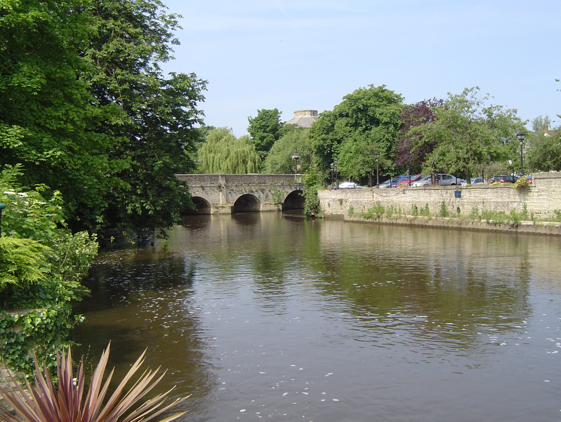
Andersey Island is a small island located in the county of Oxfordshire, England. Situated in the River Thames, the island sits between the towns of Abingdon and Culham. Spanning approximately 1.5 miles in length, the island covers an area of around 250 acres.

The island is known for its rich history, dating back to the Roman times. It was once a thriving agricultural community, renowned for its fertile land and abundant crops. Today, Andersey Island remains predominantly agricultural, with its fields and meadows used for farming purposes.

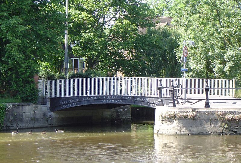
Access to the island is limited, with only a single road connecting it to the mainland. The island is accessible by foot or bicycle, and there are no public transport links available.

Andersey Island offers a peaceful and scenic environment, with picturesque views of the surrounding countryside. The island is a popular spot for nature enthusiasts, offering opportunities for birdwatching and wildlife spotting. The River Thames also provides an ideal location for fishing and boating activities.

While there are no permanent residents on the island, there are a few residential properties and holiday cottages available for visitors. These accommodations provide a unique and tranquil getaway, allowing visitors to immerse themselves in the natural beauty of the island.

Overall, Andersey Island in Oxfordshire presents a serene and idyllic escape from the bustling city life, offering a glimpse into the region's rich history and natural splendor.

If you have any feedback on the listing, please let us know in the comments section below.

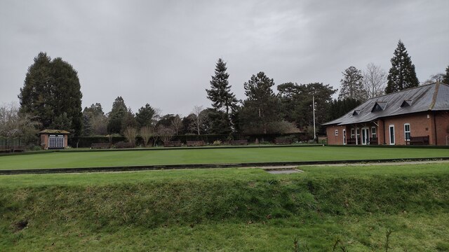
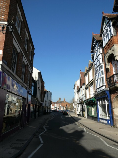
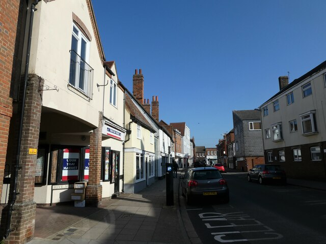
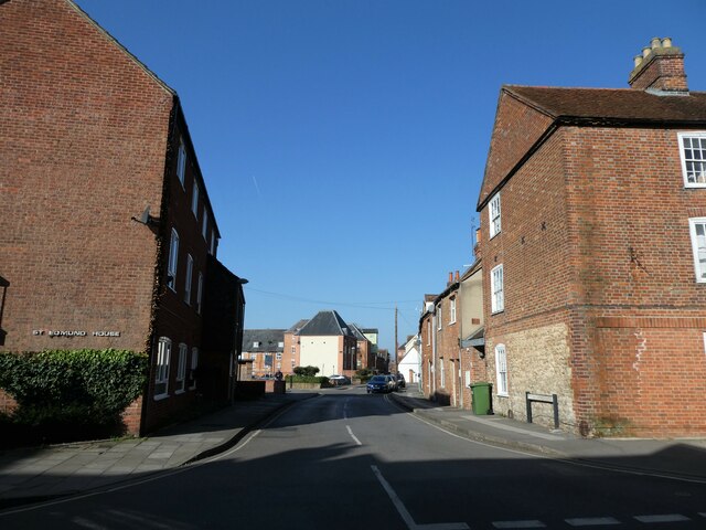
Andersey Island Images

Images are sourced within 2km of 51.664391/-1.2760243 or Grid Reference SU5096. Thanks to Geograph Open Source API. All images are credited.

The Charter The Charter in the centre of Abingdon. The building on the right is the multi storey car park
The Charter
The Charter in the centre of Abingdon. The building on the right is the multi storey car park
Park Crescent Park Crescent at junction with Park Road
Park Crescent
Park Crescent at junction with Park Road
Abingdon Bowling club The Green Abingdon Bowling club in Albert Park
Abingdon Bowling club
The Green Abingdon Bowling club in Albert Park
Green Space Saint Mary's Green to the left and Saint Nicholas' Green to the right
Green Space
Saint Mary's Green to the left and Saint Nicholas' Green to the right
Drayton Road, Abingdon
Abingdon Market Place: late March 2022
WH Smith, Bury Street: late March 2022
Shoppers in Bury Street
March 2022: shops in the High Street
Looking westwards along the High Street
Approaching the junction of West St Helens Street and the High Street
Cyclist in West St Helens Street
Looking from West St Helens Street towards Hive Mews
Looking northwards in West St Helens Street
Looking from West St Helens Street into St Edmunds Lane
Apartments in St Edmunds Lane
Abingdon railway station (site), Oxfordshire Opened in 1856 by the Abingdon Railway, later part of the Great Western Railway, this was the terminus of a short branch which left the Paddington-Oxford line south of Radley. The station closed to passengers in 1963 and completely in 1984.
View west towards the buffers. This viewpoint would have been just beyond the end of the single passenger platform, which would have run straight ahead. A goods yard was to the left of the image. The site is mostly a supermarket, but Abbey Close cuts across the site between the platform and the site of the station building. No trace remains.
Abingdon railway station (site), Oxfordshire
Opened in 1856 by the Abingdon Railway, later part of the Great Western Railway, this was the terminus of a short branch which left the Paddington-Oxford line south of Radley. The station closed to passengers in 1963 and completely in 1984. View west towards the buffers. This viewpoint would have been just beyond the end of the single passenger platform, which would have run straight ahead. A goods yard was to the left of the image. The site is mostly a supermarket, but Abbey Close cuts across the site between the platform and the site of the station building. No trace remains.
Abingdon railway station (site), Oxfordshire Opened in 1856 by the Abingdon Railway, later part of the Great Western Railway, this was the terminus of a short branch which left the Paddington-Oxford line south of Radley. The station closed to passengers in 1963 and completely in 1984.
View east from near the buffers along the single passenger platform, which would probably have run straight through the grey doors. The site is now mostly a supermarket, but Abbey Close in the foreground cuts across the site between the platform and the site of the station building (behind the camera position). No trace remains.
Abingdon railway station (site), Oxfordshire
Opened in 1856 by the Abingdon Railway, later part of the Great Western Railway, this was the terminus of a short branch which left the Paddington-Oxford line south of Radley. The station closed to passengers in 1963 and completely in 1984. View east from near the buffers along the single passenger platform, which would probably have run straight through the grey doors. The site is now mostly a supermarket, but Abbey Close in the foreground cuts across the site between the platform and the site of the station building (behind the camera position). No trace remains.
Show me another place!

Andersey Island is located at Grid Ref: SU5096 (Lat: 51.664391, Lng: -1.2760243)

Administrative County: Oxfordshire

District: South Oxfordshire

Police Authority: Thames Valley

What 3 Words

///ties.wage.icons. Near Abingdon, Oxfordshire

Related Wikis

Abingdon Abbotts F.C.

Abingdon Abbotts Football Club is a football club based in Abingdon, Oxfordshire, England. == History == The club was established as Abingdon Football...

Swift Ditch

The Swift Ditch is a 2 km (1.2 mi) long artificial channel that formed a short-cut for river traffic to and from Oxford, across a meander of the River...

Andersey Island

Andersey Island is a 273-acre (110.5 ha) area of flood-meadow and former flood-meadow south-east of Abingdon Bridge, Abingdon, Oxfordshire on the reach...

Nag's Head Island

Nag's Head Island is an island in the River Thames in England at Abingdon. It sits in the middle of the two Abingdon Bridges on the reach above Culham...

Abingdon Bridge

Abingdon Bridge crosses the River Thames at the town of Abingdon, Oxfordshire, England. It carries the A415 road from Abingdon to Dorchester, Oxfordshire...

Municipal Borough of Abingdon

Abingdon was a municipal borough embracing the town of Abingdon-on-Thames in the county of Berkshire from 1835 to 1974. From 1894 it was nearly entirely...

River Ock

The River Ock is a small English river which is a tributary of the River Thames. It has as its catchment area the Vale of White Horse, a low-lying and...

Helenstowe Nunnery

Helenstowe Nunnery was an Anglo-Saxon nunnery at Abingdon in the English county of Berkshire (now Oxfordshire). Helenstowe is said to have been founded...

Nearby Amenities

Located within 500m of 51.664391,-1.2760243
TP18572
Lat/Long: 51.6672611/-1.2711519
TP18475
Fixme: what is this?
Lat/Long: 51.6679482/-1.2750133
TP18471
Fixme: what is this?
Lat/Long: 51.6680648/-1.2748732
Kingfisher Barn B&B
Tourism: hotel
Lat/Long: 51.6674332/-1.2719612
Toilets
Fee: yes
Lat/Long: 51.667364/-1.2784967
Bench
Lat/Long: 51.6676735/-1.2797413
Bench
Lat/Long: 51.6677561/-1.2793518
Bench
Lat/Long: 51.6677035/-1.2795642
Bench
Lat/Long: 51.667622/-1.2799478
Bench
Lat/Long: 51.6676253/-1.2801382
Description: Radio mast
Man Made: tower
Source: View from W;Bing
Tower Type: communication
Lat/Long: 51.6651228/-1.2806043
Power: pole
Source: Bing
Lat/Long: 51.6675248/-1.2770398
Power: pole
Source: Bing
Lat/Long: 51.6674551/-1.2738438
Power: pole
Source: Bing
Lat/Long: 51.6673537/-1.2730847
Power: pole
Source: Bing
Lat/Long: 51.6672188/-1.2723623
Power: pole
Source: Bing
Lat/Long: 51.6675182/-1.2760876
Power: pole
Source: Bing
Lat/Long: 51.6674898/-1.2744675
Power: pole
Source: Bing
Lat/Long: 51.6675115/-1.2779517
Power: pole
Source: Bing
Lat/Long: 51.6670774/-1.271142
Power: pole
Source: Bing
Lat/Long: 51.6676418/-1.271085
Power: pole
Source: Bing
Lat/Long: 51.6674475/-1.2711046
Bench
Lat/Long: 51.6671792/-1.2816668
Bench
Backrest: yes
Material: wood
Lat/Long: 51.6687176/-1.2775791
The data included in this document is from www.openstreetmap.org. The data is made available under ODbL.

Have you been to Andersey Island?

Leave your review of Andersey Island below (or comments, questions and feedback).