The Warren
Wood, Forest in Oxfordshire South Oxfordshire
England
The Warren

The Warren, located in Oxfordshire, England, is a picturesque wood and forest area that offers a serene and tranquil escape from the bustling city life. Spread across several acres, this hidden gem is a nature lover's paradise.
The woodland is dominated by a diverse range of trees, including oak, beech, and birch, which create a beautifully dense canopy. The forest floor is covered in a carpet of wildflowers, bluebells being a prominent feature during springtime. This creates a vibrant and colorful atmosphere, attracting a variety of wildlife such as deer, rabbits, and a multitude of bird species.
Tranquility is one of the defining features of The Warren. The absence of roads and buildings ensures a peaceful environment, perfect for those seeking solitude or a peaceful walk in nature. The forest is crisscrossed by a network of well-maintained footpaths, allowing visitors to explore and discover the hidden treasures within.
The Warren is also renowned for its rich history. Evidence of ancient settlements, including remnants of Iron Age fortifications, can be found within the woodlands. These historical artifacts add an extra layer of intrigue to the area and provide opportunities for archaeological exploration.
Whether you are an avid hiker, a wildlife enthusiast, or simply someone in search of a serene escape, The Warren in Oxfordshire offers a captivating experience. Immerse yourself in the natural beauty, breathe in the fresh forest air, and enjoy the peaceful ambiance that this woodland sanctuary provides.
If you have any feedback on the listing, please let us know in the comments section below.
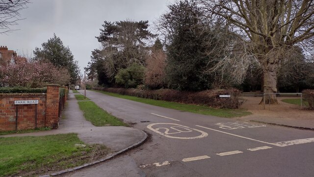
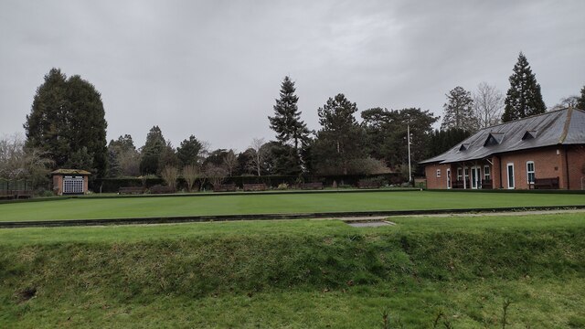
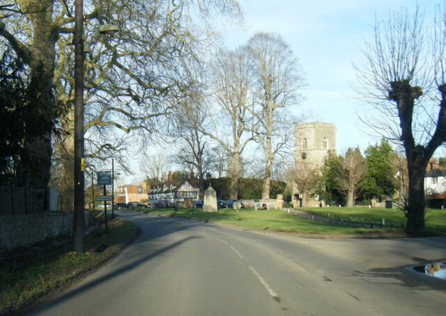
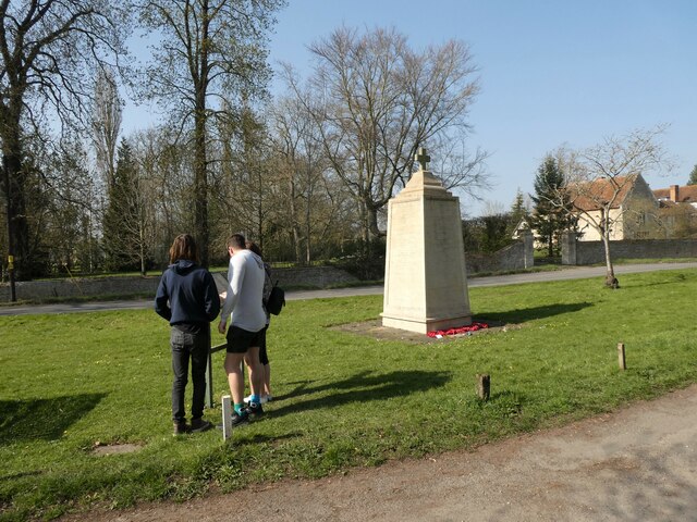
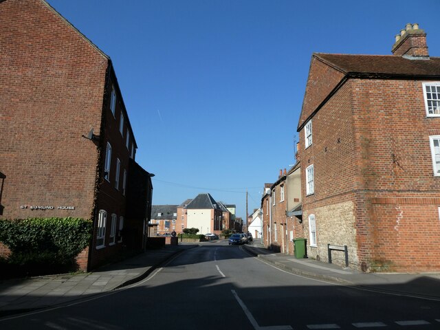
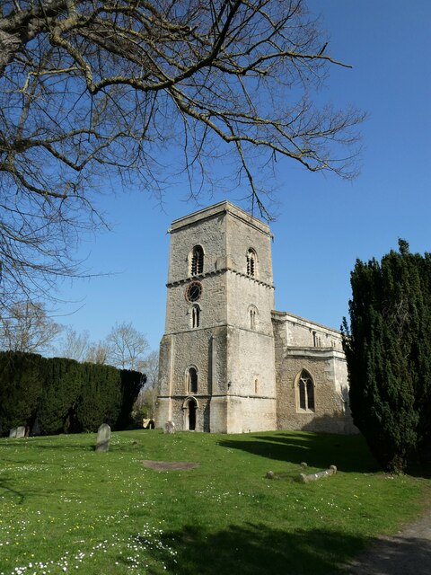
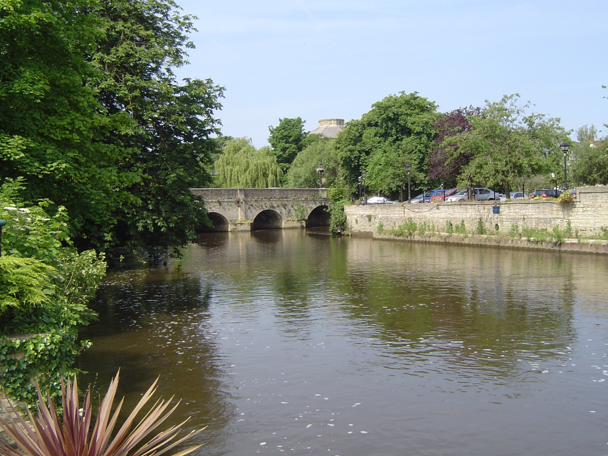
The Warren Images
Images are sourced within 2km of 51.662066/-1.2723312 or Grid Reference SU5096. Thanks to Geograph Open Source API. All images are credited.


The Warren is located at Grid Ref: SU5096 (Lat: 51.662066, Lng: -1.2723312)
Administrative County: Oxfordshire
District: South Oxfordshire
Police Authority: Thames Valley
What 3 Words
///chain.above.guards. Near Abingdon, Oxfordshire
Nearby Locations
Related Wikis

Swift Ditch
The Swift Ditch is a 2 km (1.2 mi) long artificial channel that formed a short-cut for river traffic to and from Oxford, across a meander of the River...

Culham Bridge
Culham Bridge is a medieval bridge crossing a present backwater of the River Thames in England at Culham, Oxfordshire, near the town of Abingdon. The bridge...

Andersey Island
Andersey Island is a 273-acre (110.5 ha) area of flood-meadow and former flood-meadow south-east of Abingdon Bridge, Abingdon, Oxfordshire on the reach...

Abingdon Abbotts F.C.
Abingdon Abbotts Football Club is a football club based in Abingdon, Oxfordshire, England. == History == The club was established as Abingdon Football...

Abingdon Rowing Club
Abingdon Rowing Club is a rowing club on the River Thames based on Wilsham Road in Abingdon-on-Thames, Oxfordshire.The club's home water is the stretch...

Nag's Head Island
Nag's Head Island is an island in the River Thames in England at Abingdon. It sits in the middle of the two Abingdon Bridges on the reach above Culham...
Abingdon Bridge
Abingdon Bridge crosses the River Thames at the town of Abingdon, Oxfordshire, England. It carries the A415 road from Abingdon to Dorchester, Oxfordshire...
Municipal Borough of Abingdon
Abingdon was a municipal borough embracing the town of Abingdon-on-Thames in the county of Berkshire from 1835 to 1974. From 1894 it was nearly entirely...
Nearby Amenities
Located within 500m of 51.662066,-1.2723312Have you been to The Warren?
Leave your review of The Warren below (or comments, questions and feedback).