The Knoll
Hill, Mountain in Oxfordshire South Oxfordshire
England
The Knoll
The Knoll is a prominent hill located in the county of Oxfordshire, England. With an elevation of approximately 205 meters (673 feet), it stands tall amidst the picturesque countryside, offering breathtaking views of the surrounding areas.
Situated near the village of Stanton Harcourt, The Knoll is a popular destination for hikers, nature enthusiasts, and locals seeking a tranquil escape. The hill is easily accessible, with well-marked footpaths leading up to its summit. The terrain consists of grassy slopes and some rocky outcrops, providing an interesting and varied landscape.
Flourishing with diverse flora and fauna, The Knoll offers a haven for wildlife. Visitors may spot various species of birds, butterflies, and small mammals while exploring the hill. Additionally, the hill is adorned with beautiful wildflowers during spring and summer, creating a vibrant and colorful tapestry.
The Knoll holds historical significance, as it is believed to have been used as a vantage point during the English Civil War in the 17th century. Today, remnants of an ancient fortification can still be seen atop the hill, adding an element of intrigue to its allure.
As a popular recreational spot, The Knoll provides ample opportunities for outdoor activities such as picnicking, dog walking, and photography. Its commanding views of the surrounding Oxfordshire countryside make it an ideal spot for capturing stunning sunsets or simply immersing oneself in nature's beauty.
Overall, The Knoll in Oxfordshire is a captivating hill that offers a blend of natural beauty, historical significance, and recreational opportunities, making it a must-visit destination for both locals and tourists alike.
If you have any feedback on the listing, please let us know in the comments section below.
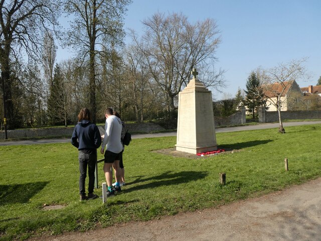
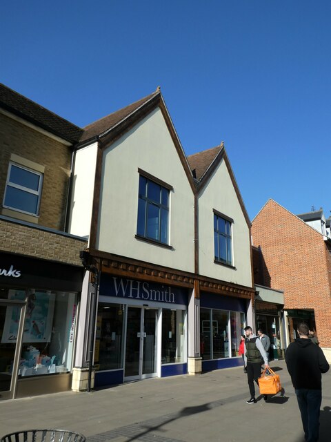
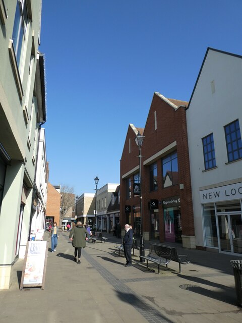
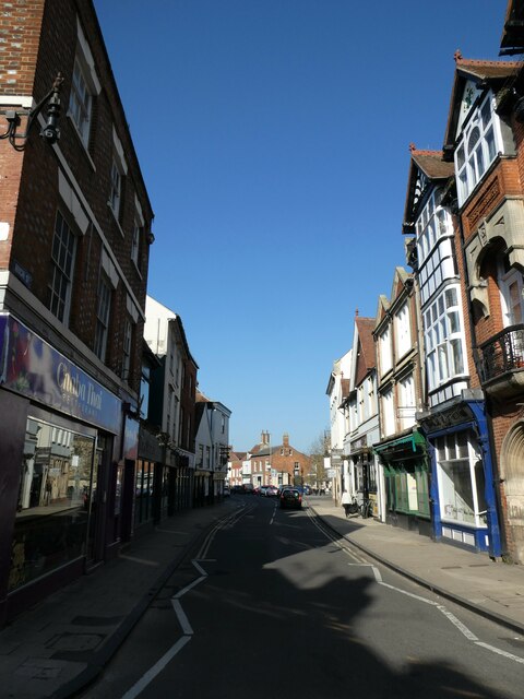
The Knoll Images
Images are sourced within 2km of 51.661774/-1.2701961 or Grid Reference SU5096. Thanks to Geograph Open Source API. All images are credited.


The Knoll is located at Grid Ref: SU5096 (Lat: 51.661774, Lng: -1.2701961)
Administrative County: Oxfordshire
District: South Oxfordshire
Police Authority: Thames Valley
What 3 Words
///sides.energy.moment. Near Abingdon, Oxfordshire
Nearby Locations
Related Wikis

Swift Ditch
The Swift Ditch is a 2 km (1.2 mi) long artificial channel that formed a short-cut for river traffic to and from Oxford, across a meander of the River...

Andersey Island
Andersey Island is a 273-acre (110.5 ha) area of flood-meadow and former flood-meadow south-east of Abingdon Bridge, Abingdon, Oxfordshire on the reach...

Culham Bridge
Culham Bridge is a medieval bridge crossing a present backwater of the River Thames in England at Culham, Oxfordshire, near the town of Abingdon. The bridge...

Abingdon Abbotts F.C.
Abingdon Abbotts Football Club is a football club based in Abingdon, Oxfordshire, England. == History == The club was established as Abingdon Football...

Abingdon Rowing Club
Abingdon Rowing Club is a rowing club on the River Thames based on Wilsham Road in Abingdon-on-Thames, Oxfordshire.The club's home water is the stretch...
Culham Court, Oxfordshire
Culham Court is a Grade II listed house in Culham, Oxfordshire, England. == History == It was built in the mid-18th century, the south front in about 1816...

Abingdon Lock
Abingdon Lock is a lock on the River Thames in England, less than 1 mile east and upstream of Abingdon, Oxfordshire, on the opposite bank of the river...

Nag's Head Island
Nag's Head Island is an island in the River Thames in England at Abingdon. It sits in the middle of the two Abingdon Bridges on the reach above Culham...
Nearby Amenities
Located within 500m of 51.661774,-1.2701961Have you been to The Knoll?
Leave your review of The Knoll below (or comments, questions and feedback).