Atla Holm
Island in Shetland
Scotland
Atla Holm
Atla Holm is a small island located in the Shetland archipelago, north of mainland Scotland. It is situated in the North Sea, approximately 2 miles southeast of the island of Fetlar. With a total land area of around 36 hectares, Atla Holm is one of the smaller islands in the Shetland group.
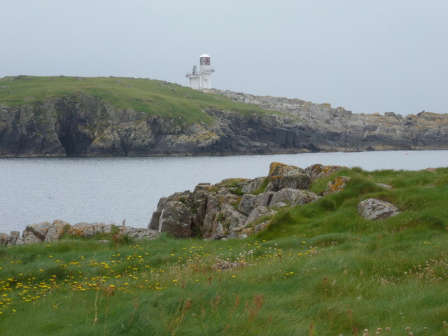
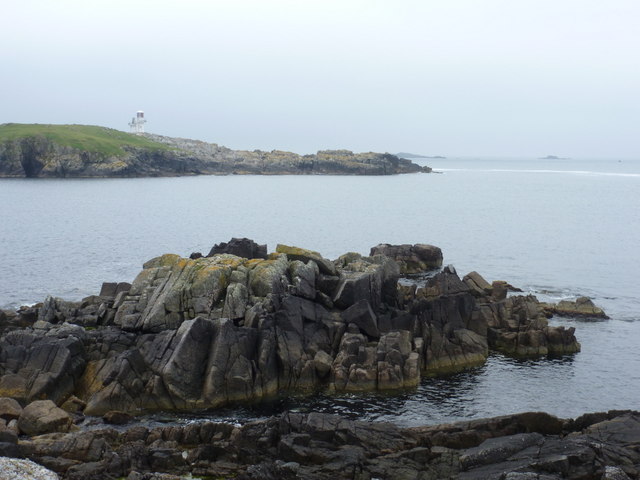
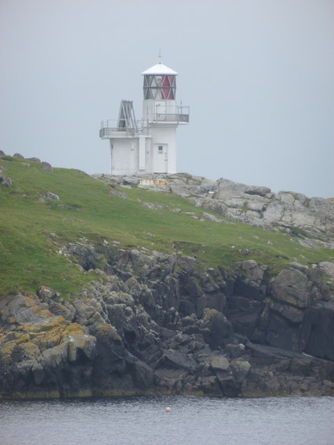
The island is characterized by rugged terrain, featuring rocky cliffs and a hilly landscape. It is sparsely vegetated, with a mix of grasses and low-lying shrubs covering its surface. The coastline is jagged and indented, providing habitat for a diverse range of seabirds and marine life.
Atla Holm has a rich history, with evidence of human occupation dating back to the Neolithic period. Archaeological excavations have uncovered stone tools, pottery fragments, and burial sites, indicating long-term human presence on the island. It is believed that the island may have served as an important trading and fishing hub in ancient times.
Today, Atla Holm is uninhabited and has no permanent structures. However, it is a popular destination for birdwatching enthusiasts and nature lovers, who come to witness the island's abundant birdlife. Species such as puffins, guillemots, and razorbills can be observed nesting along the cliffs during the breeding season.
Access to Atla Holm is primarily by boat, with visitors often taking guided tours from neighboring islands. The island offers a unique opportunity to explore a remote and untouched natural environment, providing a peaceful retreat for those seeking solitude amidst the beauty of the Shetland Isles.
If you have any feedback on the listing, please let us know in the comments section below.
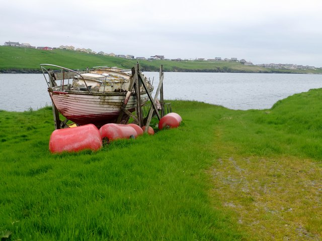
Atla Holm Images
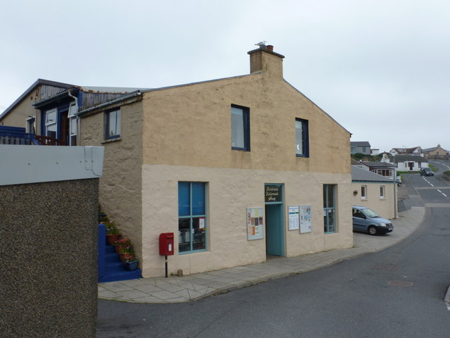
Images are sourced within 2km of 60.110565/-1.3396091 or Grid Reference HU3636. Thanks to Geograph Open Source API. All images are credited.


Atla Holm is located at Grid Ref: HU3636 (Lat: 60.110565, Lng: -1.3396091)
Unitary Authority: Shetland Islands
Police Authority: Highlands and Islands
What 3 Words
///available.sprint.observer. Near Scalloway, Shetland Islands
Nearby Locations
Related Wikis

Papa, Shetland
Papa (Scots: Papa; Old Norse: Papey, meaning "the island of the priests") is an uninhabited island in the Scalloway Islands, Shetland, Scotland. Papa lies...

Oxna
Oxna is one of the Scalloway Islands, lying north west of Burra in Shetland, Scotland. Oxna has an area of 68 hectares (170 acres). The island has been...
West Head of Papa
West Head of Papa is a small tidal island off Papa in Shetland, and is one of the Scalloway Islands. It is 21m at its highest point. East Head of Papa...
Green Holm
Green Holm, (HU382379), is a small uninhabited island 500 metres north of Burra Ness at the north end of the island of Burra and on the west side of the...
Cheynies
The Cheynies are a group of reefs and small islands, between Oxna and Hildasay in the Shetland Islands, Scotland. They have been considerably eroded in...

Langa, Shetland
Langa (Old Norse: Langey ) is the collective name for two uninhabited islands off Hildasay, in Shetland, Scotland. The islands are connected by a tombolo...

Scalloway Islands
The Scalloway Islands are in Shetland opposite Scalloway on south west of the Mainland. They form a mini-archipelago and include: Burra (two islands linked...
Trondra
Trondra (Scots: Trondra) is one of the Scalloway Islands, a subgroup of the Shetland Islands in Scotland. It shelters the harbour of Scalloway and has...
Related Videos

Spring Walk, Meal Beach 🏖️ Hamnavoe Shetland 🌤️
First decent day of Spring. A walk on the West side of Shetland, starting off at Meal Beach carpark, heading down to Sands of Meal ...
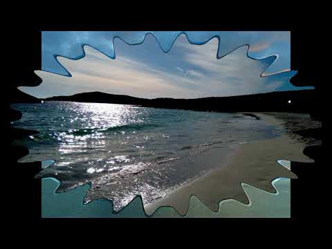
THE SUNSET OVER MEAL BEACH,SHETLAND-2017
Sunset #Mealbeach #Shetland Traveling Shetland The southward facing Sands of Meal are located on the island of West Burra ...
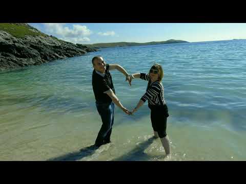
MEAL BEACH,SHETLAND-2017
Mealbeach #Atlanticocean #Shetland Traveling Shetland Meal beach is a lovely southward facing beach with deep sand and a ...
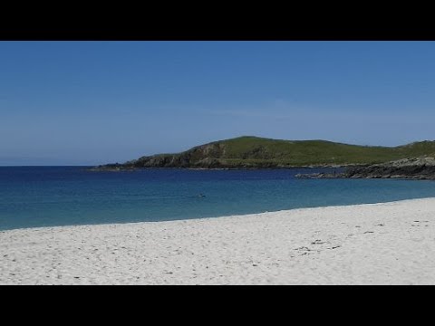
Live from Meal Beach, Shetland Islands, Scotland
A beautiful day at Meal Beach, the weather is so good I'm going to go for a swim!
Nearby Amenities
Located within 500m of 60.110565,-1.3396091Have you been to Atla Holm?
Leave your review of Atla Holm below (or comments, questions and feedback).