Hevda
Island in Shetland
Scotland
Hevda
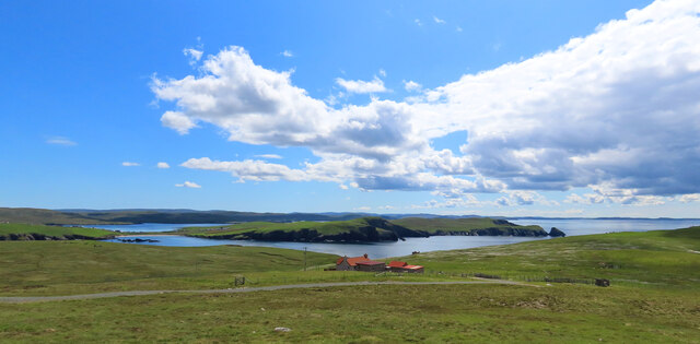
Hevda is a small island located in the Shetland archipelago, situated in the North Atlantic Ocean. It is part of Scotland and lies approximately 250 miles north of the Scottish mainland. With a land area of around 6 square miles, Hevda is one of the smaller islands in the Shetland group.
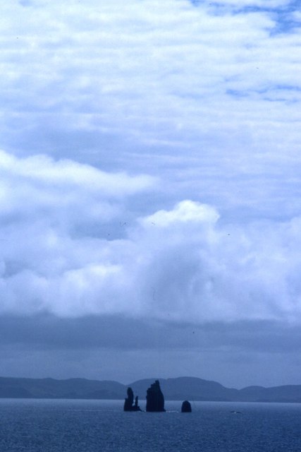
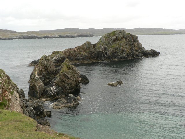
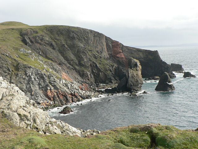
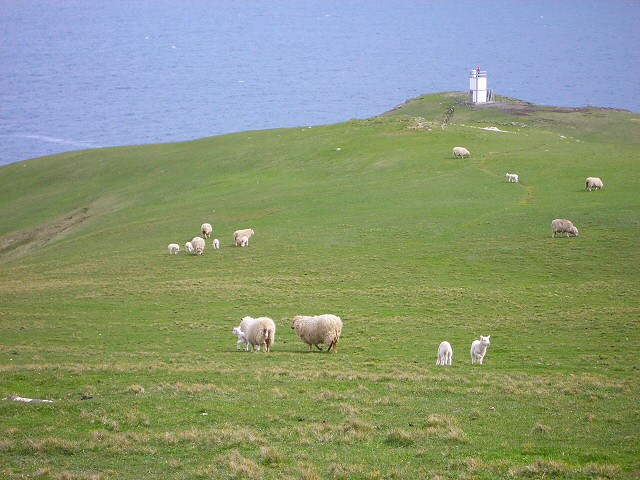
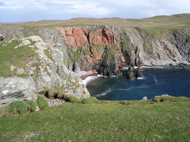
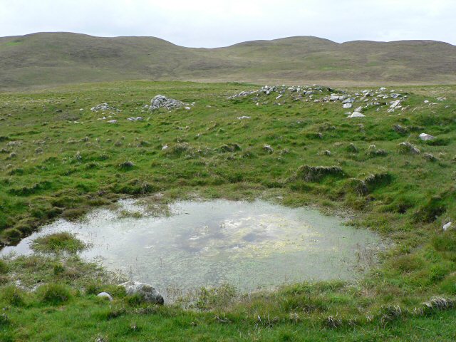
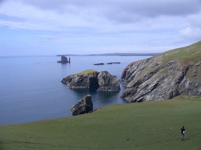
The island's landscape is characterized by rolling hills, rugged cliffs, and stunning coastal scenery. Its shores are adorned with beautiful sandy beaches and rocky coves, making it a popular destination for nature enthusiasts and outdoor activities such as hiking, birdwatching, and fishing.
Hevda has a small population of around 50 residents, who primarily engage in traditional industries such as fishing and agriculture. The island has a strong sense of community, and its residents are known for their friendliness and hospitality.
One of the main landmarks on Hevda is the 16th-century St. Ninian's Church, which stands as a testament to the island's rich history. The church is a popular tourist attraction, with its impressive architecture and stunning views of the surrounding landscape.
Despite its small size, Hevda offers a range of amenities and services to both residents and visitors. These include a local shop, a post office, and a primary school. However, for more comprehensive facilities, residents often need to travel to neighboring islands or the mainland.
Overall, Hevda is a picturesque island with a tight-knit community, making it an ideal destination for those seeking a tranquil getaway in the stunning natural beauty of the Shetland archipelago.
If you have any feedback on the listing, please let us know in the comments section below.
Hevda Images
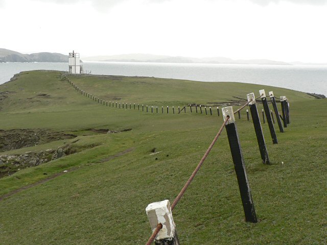
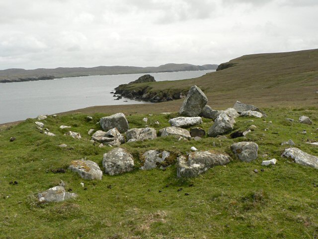
Images are sourced within 2km of 60.455064/-1.5043983 or Grid Reference HU2774. Thanks to Geograph Open Source API. All images are credited.


Hevda is located at Grid Ref: HU2774 (Lat: 60.455064, Lng: -1.5043983)
Unitary Authority: Shetland Islands
Police Authority: Highlands and Islands
What 3 Words
///cobbled.surcharge.vote. Near Brae, Shetland Islands
Nearby Locations
Related Wikis

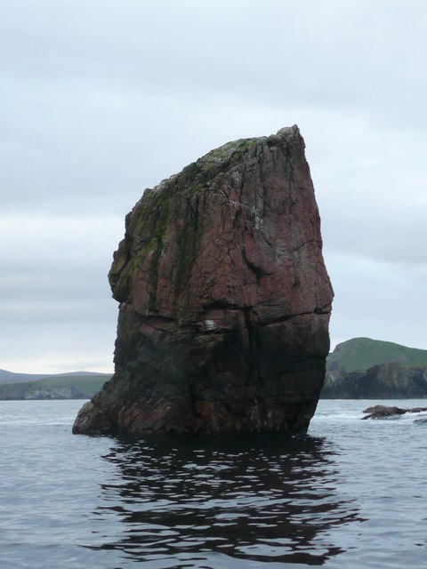
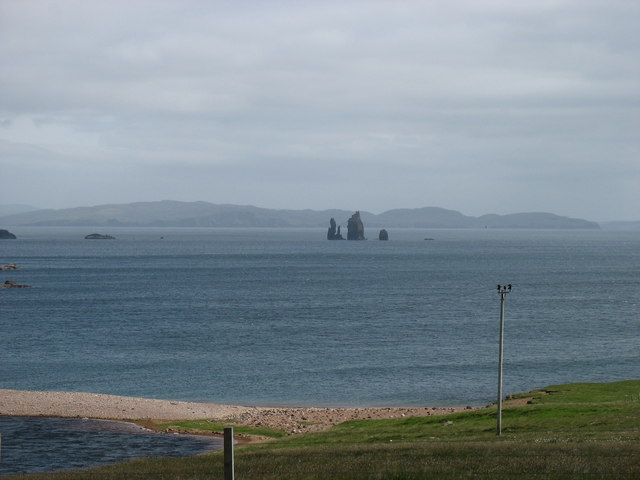
The Drongs
The Drongs are a group of sea stacks off the coast of Hillswick Ness, Northmavine, Shetland, Scotland. They lie to the west of the Isle of Westerhouse...

Hillswick
Hillswick is a small village in Northmavine, on the shore of the Atlantic Ocean and lies to the north-north west of Mainland, Shetland, the most northerly...

Gunnister
Gunnister is a small 'abandoned' village at the North-West Mainland in Shetland, Scotland. It is most commonly known for the Gunnister Man - the remains...

Tangwick Haa
Tangwick Haa is an historic house and museum in Esha Ness, Northmavine, Shetland. The building has two stories in a rectangular layout and along with the...
Nearby Amenities
Located within 500m of 60.455064,-1.5043983Have you been to Hevda?
Leave your review of Hevda below (or comments, questions and feedback).