Little Eversden
Settlement in Cambridgeshire South Cambridgeshire
England
Little Eversden
Little Eversden is a small village located in the county of Cambridgeshire, in eastern England. Situated approximately 7 miles southwest of the city of Cambridge, it is part of the district of South Cambridgeshire. The village has a population of around 300 people.
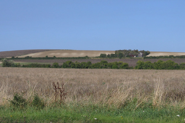
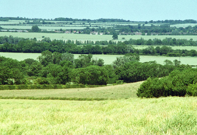
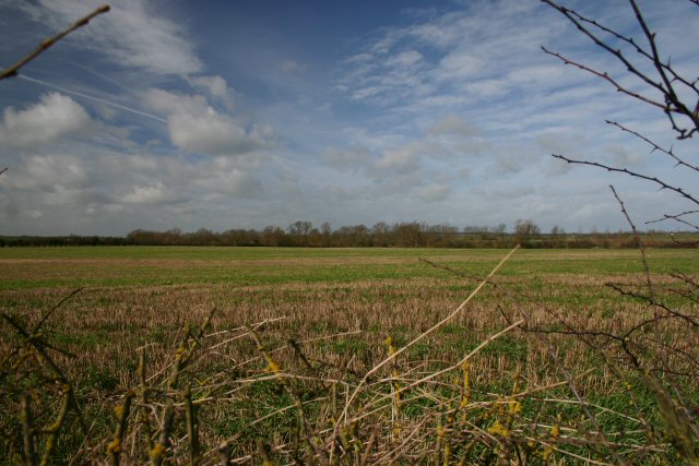
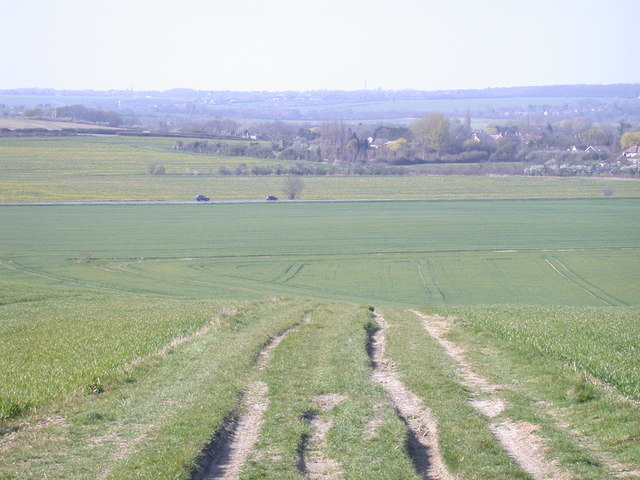
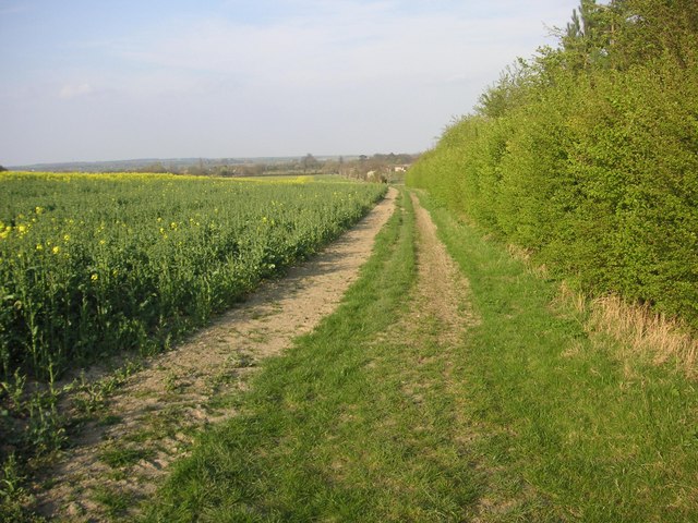
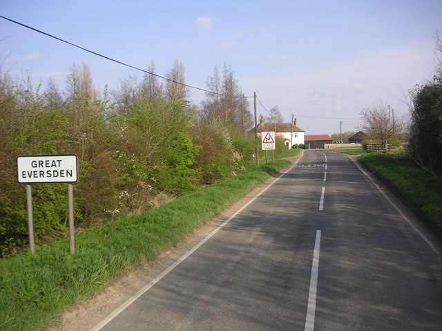
Little Eversden is known for its picturesque countryside setting and quaint charm. The landscape surrounding the village is mainly agricultural, with vast fields and meadows, creating a serene and peaceful atmosphere. The village is surrounded by several other small settlements, including Great Eversden, Harlton, and Kingston.
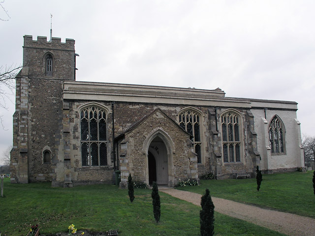
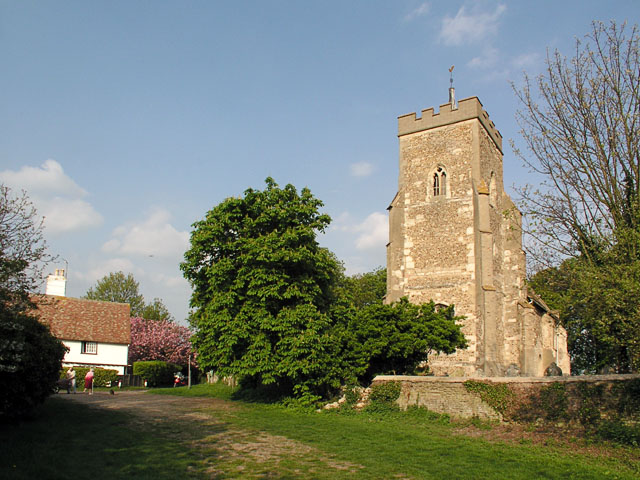
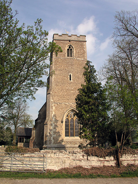
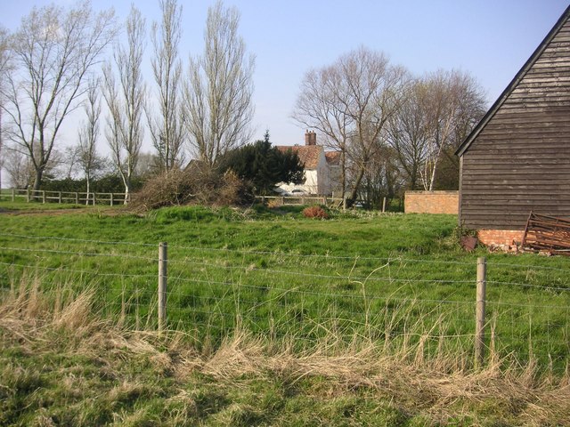
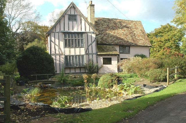
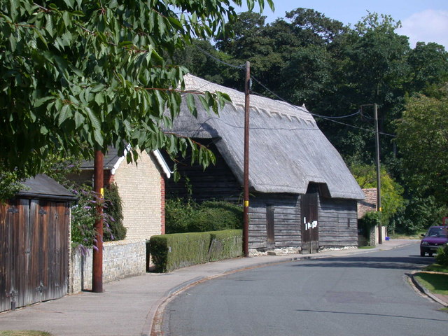
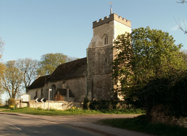
The architecture in Little Eversden reflects its rich history, with a variety of traditional thatched cottages and old farmhouses dotting the streets. The village also boasts a beautiful medieval church, St. Helen's Church, which is a Grade II listed building and a significant historical landmark.
Although small, Little Eversden has a strong sense of community, with various social events and activities organized throughout the year. The village has a primary school, the Eversden Primary School, which caters to the educational needs of the local children.
In terms of amenities, Little Eversden has a village hall which serves as a focal point for community gatherings and events. There is also a local pub, The Plough, where residents and visitors can enjoy a drink or a meal.
Little Eversden offers a peaceful and idyllic rural lifestyle, making it an attractive place to live for those seeking a slower pace of life within close proximity to the bustling city of Cambridge.
If you have any feedback on the listing, please let us know in the comments section below.
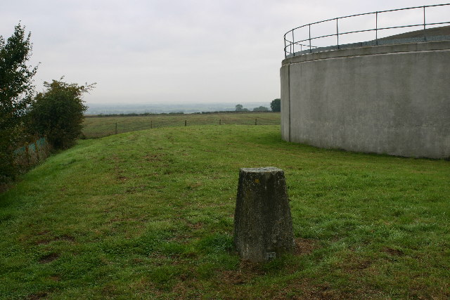
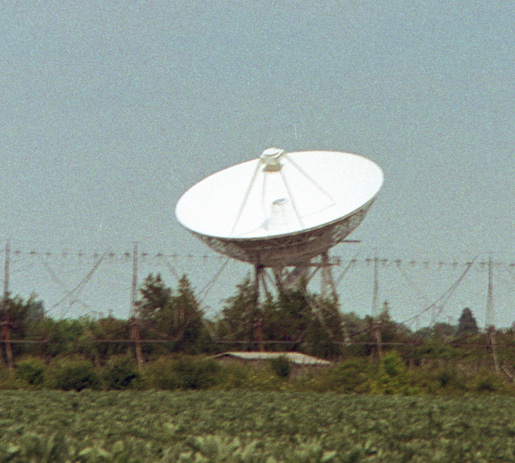
Little Eversden Images
Images are sourced within 2km of 52.159806/0.005135 or Grid Reference TL3753. Thanks to Geograph Open Source API. All images are credited.


Little Eversden is located at Grid Ref: TL3753 (Lat: 52.159806, Lng: 0.005135)
Administrative County: Cambridgeshire
District: South Cambridgeshire
Police Authority: Cambridgeshire
What 3 Words
///face.cakewalk.tins. Near Comberton, Cambridgeshire
Nearby Locations
Related Wikis
Little Eversden
Little Eversden is a village approximately 7 miles (11 km) south-west of Cambridge, England. It has two main roads: Harlton Road which goes through Little...
Great Eversden
Great Eversden is a village 6 miles south-west of Cambridge, England. The population of the civil parish at the 2011 Census was 241. The Prime Meridian...

Harlton
Harlton is a village and civil parish in Cambridgeshire in the United Kingdom. The village is 5 miles (8.0 km) south-west of Cambridge and neighbours Haslingfield...
4C Array
The 4C Array is a cylindrical paraboloid radio telescope at the Mullard Radio Astronomy Observatory, near Cambridge, England. It is similar in design to...

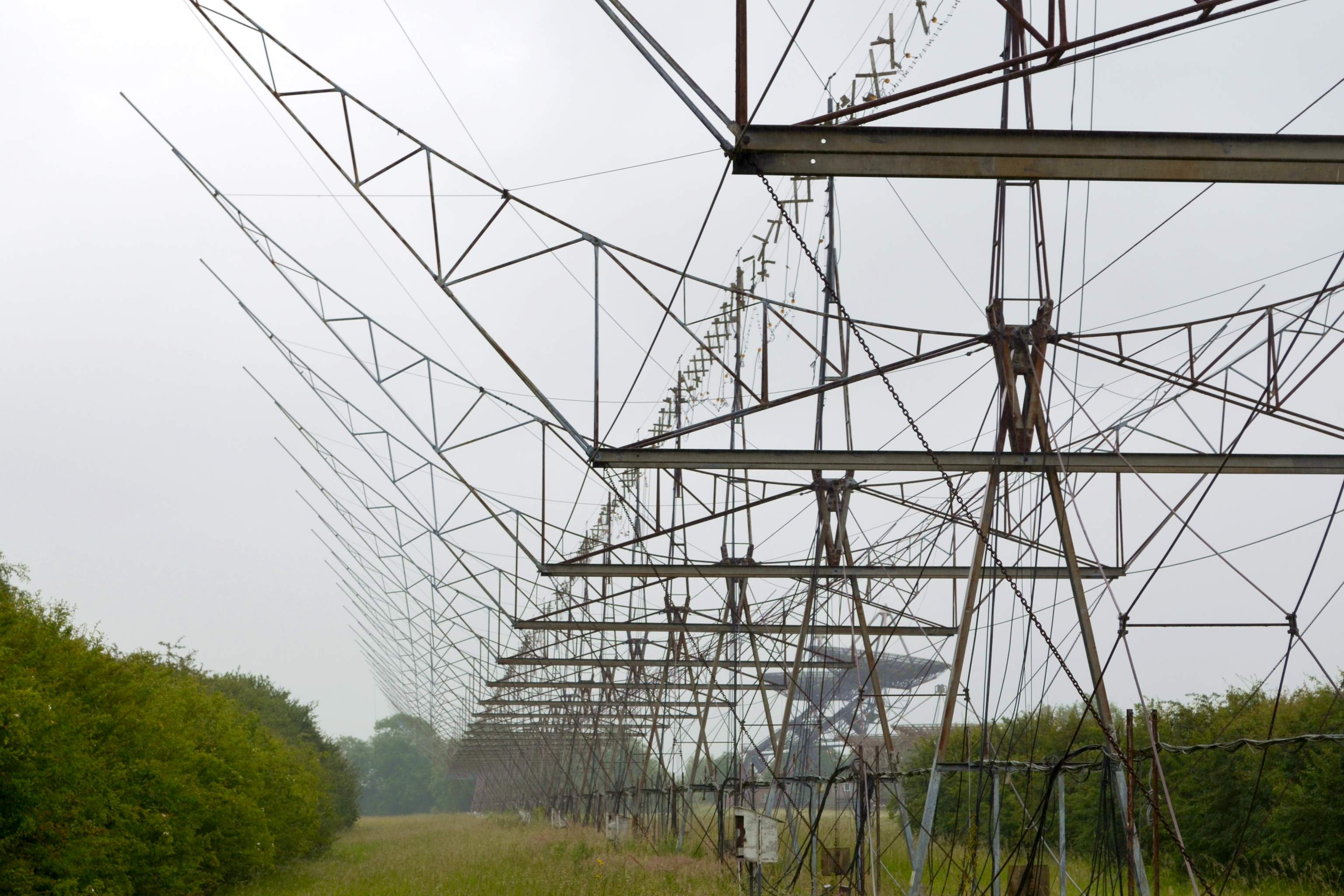
Interplanetary Scintillation Array
The Interplanetary Scintillation Array (also known as the IPS Array or Pulsar Array) is a radio telescope that was built in 1967 at the Mullard Radio Astronomy...

Mullard Radio Astronomy Observatory
The Mullard Radio Astronomy Observatory (MRAO) is located near Cambridge, UK and is home to a number of the largest and most advanced aperture synthesis...

Cosmic Anisotropy Telescope
The Cosmic Anisotropy Telescope (CAT) was a three-element interferometer for cosmic microwave background radiation (CMB/R) observations at 13 to 17 GHz...
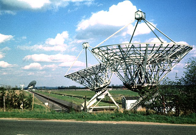
Half-Mile Telescope
The Half-Mile Telescope was constructed in 1968 (2 aerials) at the Mullard Radio Astronomy Observatory with two more aerials being added in 1972, using...
Nearby Amenities
Located within 500m of 52.159806,0.005135Have you been to Little Eversden?
Leave your review of Little Eversden below (or comments, questions and feedback).