Eversden, Little
Settlement in Cambridgeshire South Cambridgeshire
England
Eversden, Little
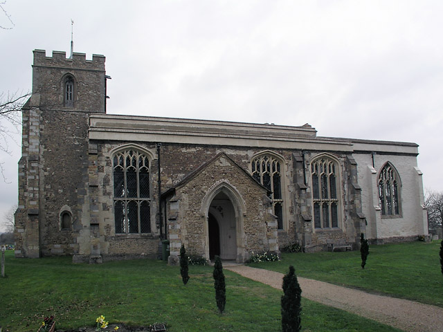
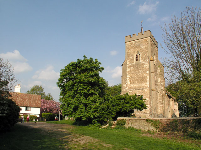
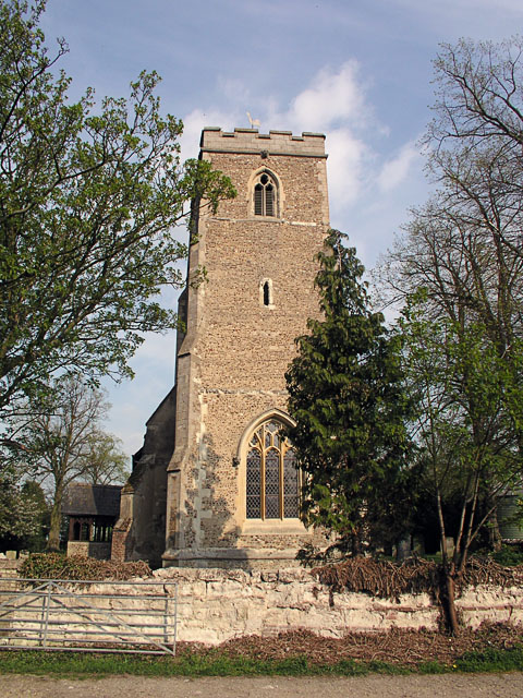
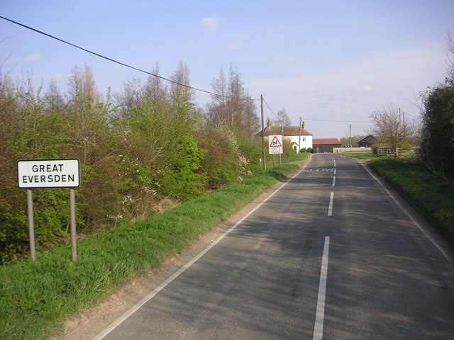
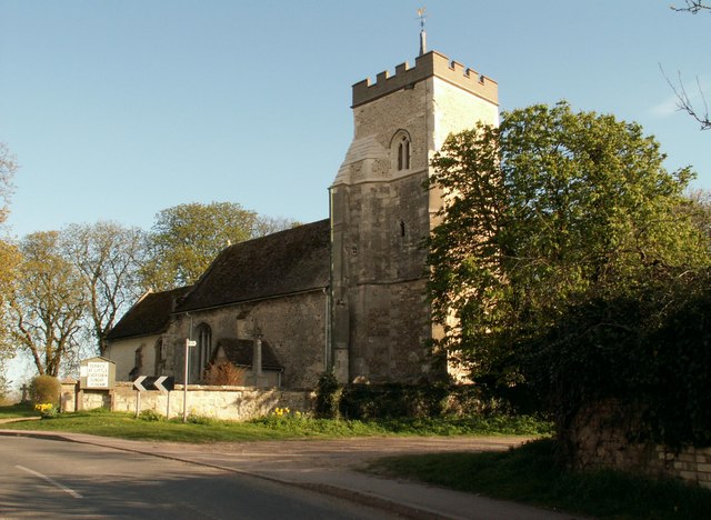
Eversden, Little is a small village located in the county of Cambridgeshire, England. Situated approximately 11 miles southwest of Cambridge, the village is part of the South Cambridgeshire district. It borders the larger village of Great Eversden, with which it shares a parish council.
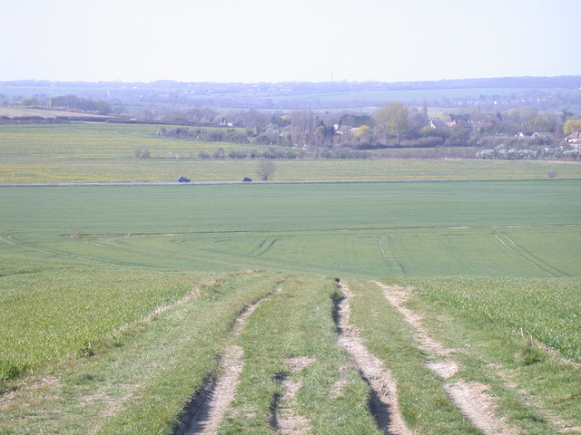
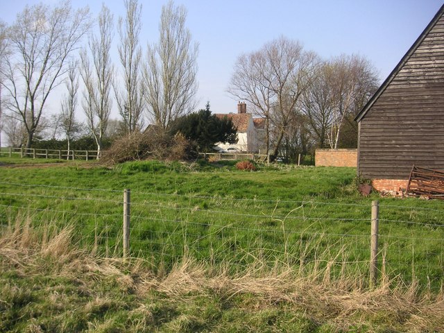
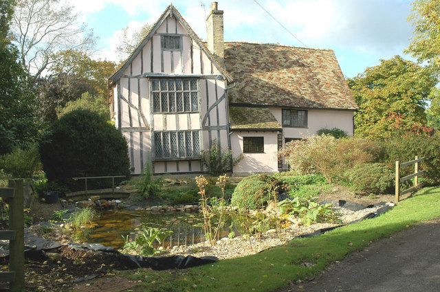
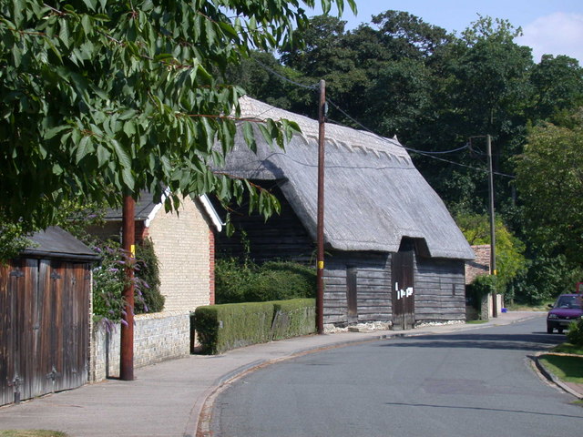
Eversden, Little is a quintessential English countryside village, known for its picturesque landscapes and charming rural atmosphere. The village is characterized by its traditional thatched cottages, some of which date back several centuries, giving it a unique historical character.
The village is home to a small community, with a population of around 400 residents. It offers a close-knit and friendly atmosphere, with various community events and activities throughout the year. The village has its own primary school, providing education for local children.
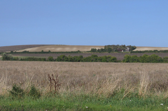
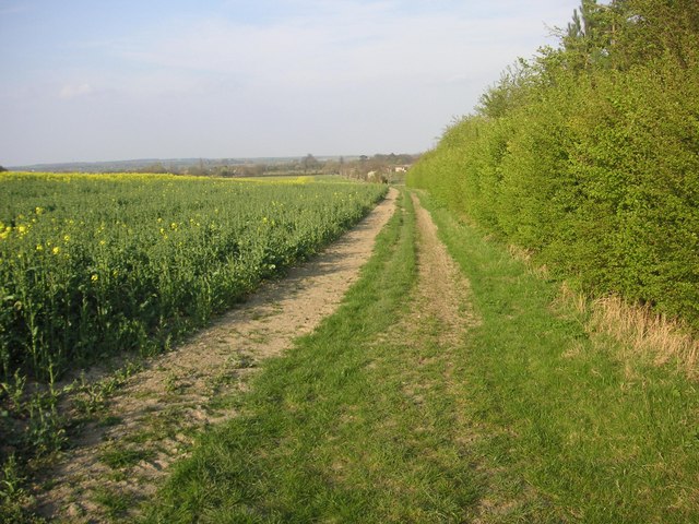
Surrounded by rolling farmland, Eversden, Little offers residents and visitors numerous opportunities for outdoor activities. The village is crisscrossed by footpaths and bridleways, making it an ideal location for walkers, cyclists, and horse riders. The nearby countryside also provides birdwatching and wildlife spotting opportunities.
Despite its small size, Eversden, Little benefits from good transport links. The village is well-connected by road, with the A603 passing nearby, providing easy access to Cambridge and other surrounding towns. Additionally, the village is served by regular bus services.
In summary, Eversden, Little is a tranquil and idyllic village in Cambridgeshire, offering a peaceful retreat from the bustling city life, while still providing easy access to nearby amenities.
If you have any feedback on the listing, please let us know in the comments section below.
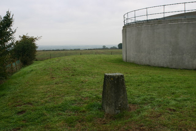
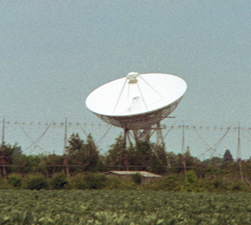
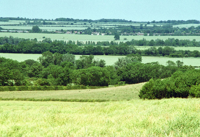
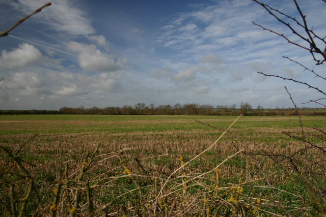
Eversden, Little Images
Images are sourced within 2km of 52.159806/0.005135 or Grid Reference TL3753. Thanks to Geograph Open Source API. All images are credited.


Eversden, Little is located at Grid Ref: TL3753 (Lat: 52.159806, Lng: 0.005135)
Administrative County: Cambridgeshire
District: South Cambridgeshire
Police Authority: Cambridgeshire
What 3 Words
///face.cakewalk.tins. Near Comberton, Cambridgeshire
Nearby Locations
Related Wikis
Little Eversden
Little Eversden is a village approximately 7 miles (11 km) south-west of Cambridge, England. It has two main roads: Harlton Road which goes through Little...
Great Eversden
Great Eversden is a village 6 miles south-west of Cambridge, England. The population of the civil parish at the 2011 Census was 241. The Prime Meridian...

Harlton
Harlton is a village and civil parish in Cambridgeshire in the United Kingdom. The village is 5 miles (8.0 km) south-west of Cambridge and neighbours Haslingfield...
4C Array
The 4C Array is a cylindrical paraboloid radio telescope at the Mullard Radio Astronomy Observatory, near Cambridge, England. It is similar in design to...

Interplanetary Scintillation Array
The Interplanetary Scintillation Array (also known as the IPS Array or Pulsar Array) is a radio telescope that was built in 1967 at the Mullard Radio Astronomy...

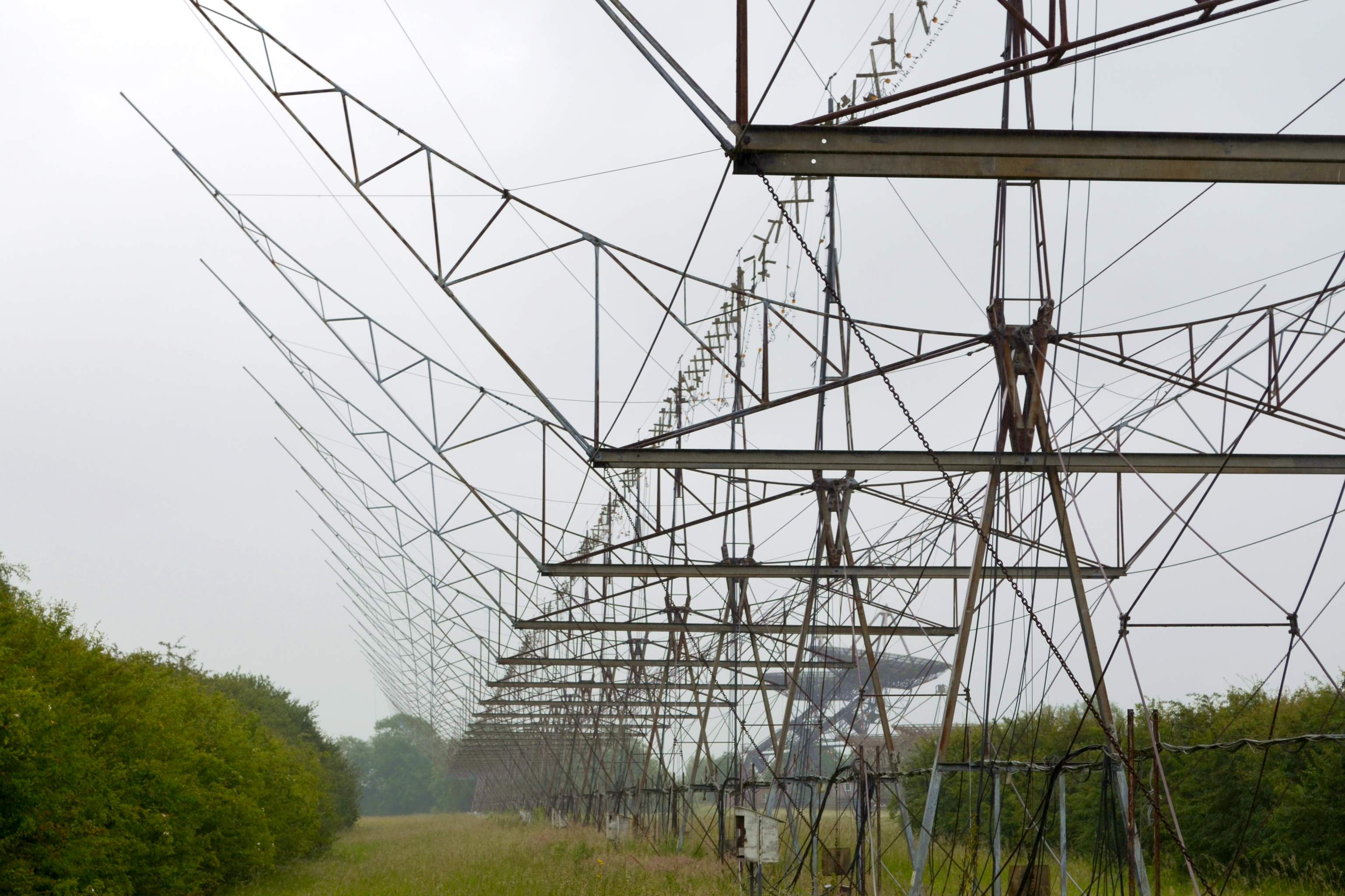
Mullard Radio Astronomy Observatory
The Mullard Radio Astronomy Observatory (MRAO) is located near Cambridge, UK and is home to a number of the largest and most advanced aperture synthesis...

Cosmic Anisotropy Telescope
The Cosmic Anisotropy Telescope (CAT) was a three-element interferometer for cosmic microwave background radiation (CMB/R) observations at 13 to 17 GHz...
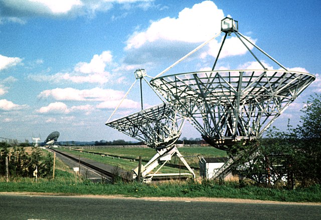
Half-Mile Telescope
The Half-Mile Telescope was constructed in 1968 (2 aerials) at the Mullard Radio Astronomy Observatory with two more aerials being added in 1972, using...
Nearby Amenities
Located within 500m of 52.159806,0.005135Have you been to Eversden, Little?
Leave your review of Eversden, Little below (or comments, questions and feedback).