Bakie Skerry

Island in Orkney

Scotland

Bakie Skerry

Rocky foreshore This is near to Muckle Water, with a view of Skea Hill in the background.
Rocky foreshore Credit: Isla17

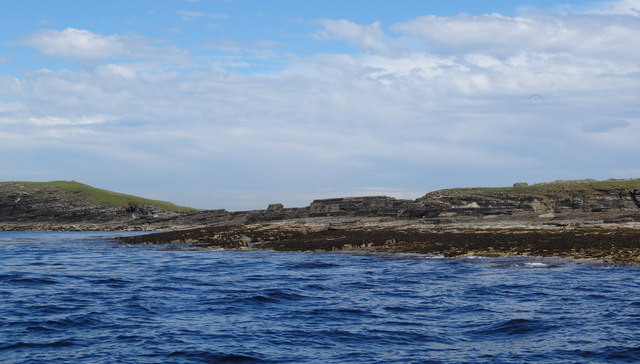
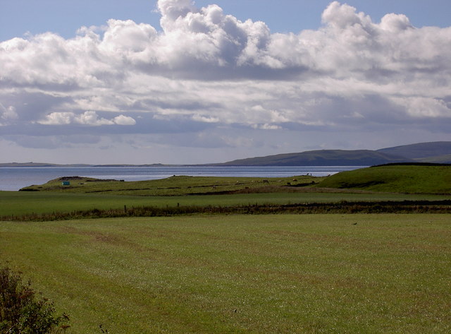
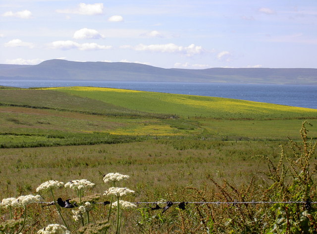
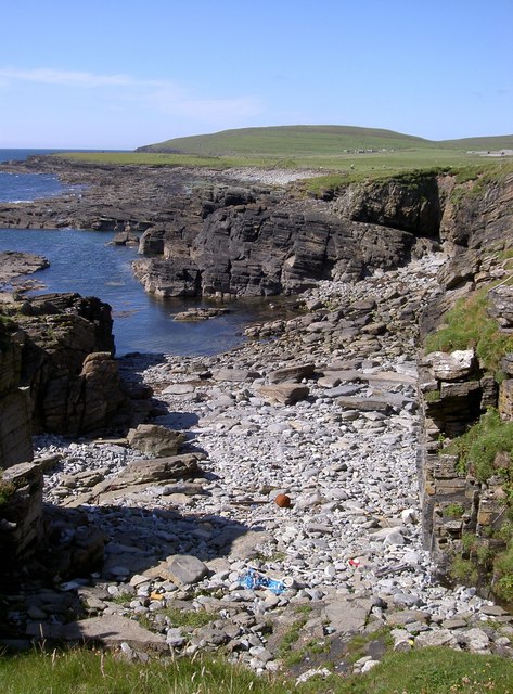
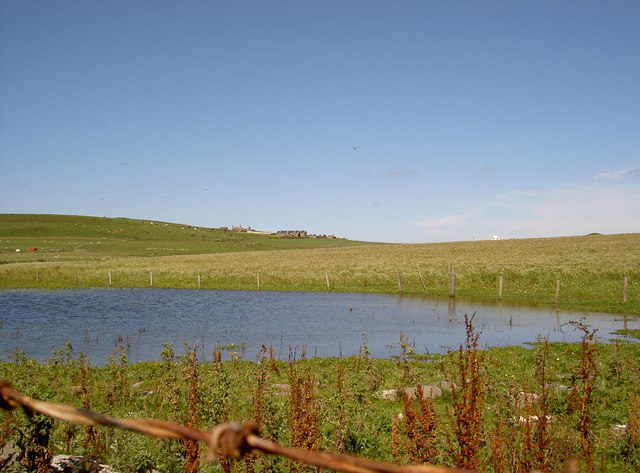
Bakie Skerry is a small uninhabited island located in the Orkney archipelago, off the northeast coast of Scotland. The island is situated approximately 3 miles east of Rora Head on the mainland. It is one of several islands in the area, known for its rugged and picturesque landscapes.

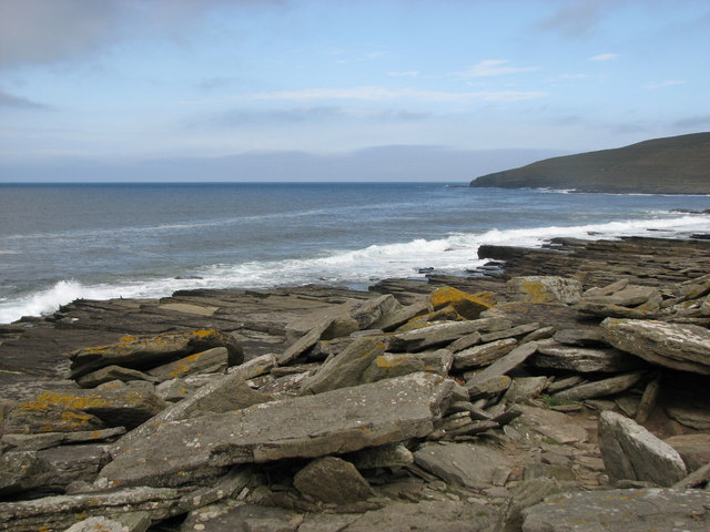
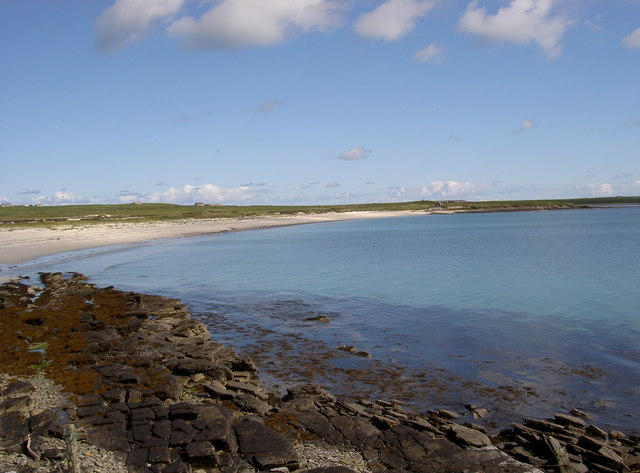
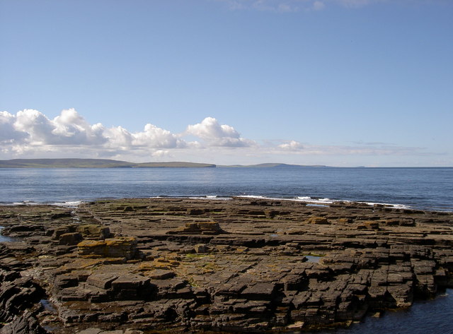
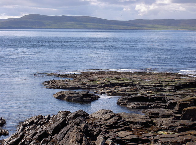
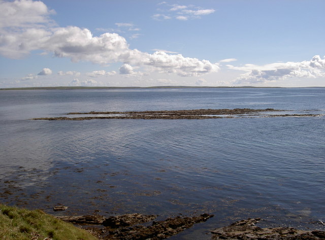
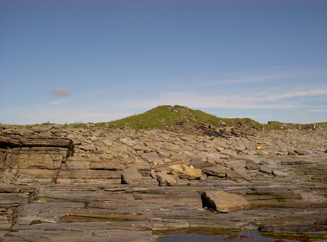
Bakie Skerry covers an area of about 7 hectares and is predominantly composed of rough grassland and low-lying rocky terrain. The island rises to an elevation of around 39 feet above sea level at its highest point. Its coastline is characterized by sheer cliffs and is often battered by strong winds and rough seas.

The island is a designated Special Protection Area, recognized for its significant population of nesting seabirds. Species such as guillemots, razorbills, and puffins can be found inhabiting the cliffs and crags of Bakie Skerry during the breeding season. The surrounding waters are also rich in marine life, attracting seals and various species of fish.

Due to its remote location and lack of amenities, Bakie Skerry is not accessible to visitors. However, it is frequently visited by wildlife enthusiasts and birdwatchers who observe the island's impressive avian population from nearby vantage points on the mainland.

Bakie Skerry contributes to the unique and diverse natural heritage of the Orkney Islands, offering a sanctuary for seabirds and a glimpse into the untamed beauty of Scotland's coastal landscapes.

If you have any feedback on the listing, please let us know in the comments section below.
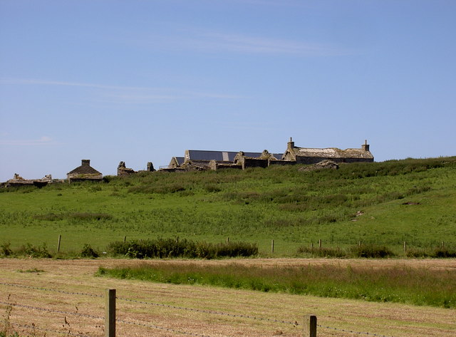
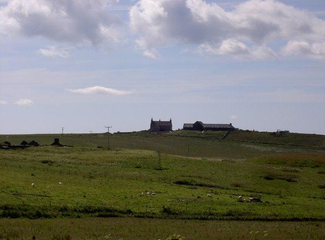
Bakie Skerry Images

Images are sourced within 2km of 59.258039/-2.9829127 or Grid Reference HY4441. Thanks to Geograph Open Source API. All images are credited.

Rocky foreshore This is near to Muckle Water, with a view of Skea Hill in the background.
Rocky foreshore
This is near to Muckle Water, with a view of Skea Hill in the background.
Tuquoy: Kirk Taing Looking across the broad, shallow ledge of rocks to the south of <a href="https://www.geograph.org.uk/photo/2630796">HY4543 : Tuquoy: Cross Kirk</a>, on whose churchyard wall we are stood. The wall directly separates the church grounds from the shoreline. The island of Rousay is in the background.
Tuquoy: Kirk Taing
Looking across the broad, shallow ledge of rocks to the south of HY4543 : Tuquoy: Cross Kirk, on whose churchyard wall we are stood. The wall directly separates the church grounds from the shoreline. The island of Rousay is in the background.
Skea Skerries, Westray Firth Grey Atlantic seals, Shags and Great black-backed gulls on Skea Skerries.
Skea Skerries, Westray Firth
Grey Atlantic seals, Shags and Great black-backed gulls on Skea Skerries.
West side of Bakie Skerry, Berst Ness, Westray Bedrock slabs of sandstone form Bakie Skerry on Berst Ness, Westray.
West side of Bakie Skerry, Berst Ness, Westray
Bedrock slabs of sandstone form Bakie Skerry on Berst Ness, Westray.
Knowe o Skea, near Langskaill View over farmland at Langskaill towards Knowe o Skea (the 'bump' with green tent on it).  Island of Rousay in background to right.
Knowe o Skea, near Langskaill
View over farmland at Langskaill towards Knowe o Skea (the 'bump' with green tent on it). Island of Rousay in background to right.
Sandy Links of Gairy, Westside, Westray Like all sandy areas in Westray, this is over-run with rabbits.  Is used occasionally for Motocross races.
Sandy Links of Gairy, Westside, Westray
Like all sandy areas in Westray, this is over-run with rabbits. Is used occasionally for Motocross races.
Arable farmland, Powdykes, Westside, Westray Farmland of Powdykes in foreground - being cut for winter silage.  Cottages of Netherhouse on horizon.
Arable farmland, Powdykes, Westside, Westray
Farmland of Powdykes in foreground - being cut for winter silage. Cottages of Netherhouse on horizon.
Overgrown burn (stream) near Netherhouse, Westray This burn, or stream, carries on to the sea.  To the right of centre, you can just make out a little bump against the sea which is the remains of the Broch o Burristae.
Overgrown burn (stream) near Netherhouse, Westray
This burn, or stream, carries on to the sea. To the right of centre, you can just make out a little bump against the sea which is the remains of the Broch o Burristae.
Old Manse, Westside, Westray The Old Manse has recently been extensively renovated.  The farm steading to the right is now also being converted into a dwelling house.
Old Manse, Westside, Westray
The Old Manse has recently been extensively renovated. The farm steading to the right is now also being converted into a dwelling house.
Mae Sands, Westside, Westray
Bakie Skerry, off Knowe of Skea
Westray Firth Taken from Knowe of Skea, Westside, Westray.  Island of Rousay in background.
Westray Firth
Taken from Knowe of Skea, Westside, Westray. Island of Rousay in background.
Skerry at Tarristae, Westside, Westray
Farmland at Langskaill, Westside, Westray
Netherhouse, Westray Uninhabited since 1970s.  New house in centre is Gairy.
Netherhouse, Westray
Uninhabited since 1970s. New house in centre is Gairy.
Cati Geo, Westside, Westray A really good place to find driftwood.
Cati Geo, Westside, Westray
A really good place to find driftwood.
Remains of Broch o Burristae
Muckle Water, Westside, Westray Netherhouse in background
Muckle Water, Westside, Westray
Netherhouse in background
Show me another place!

Bakie Skerry is located at Grid Ref: HY4441 (Lat: 59.258039, Lng: -2.9829127)

Unitary Authority: Orkney Islands

Police Authority: Highlands and Islands

What 3 Words

///curable.paddlers.minivans. Near Pierowall, Orkney Islands

Related Wikis

Westside Church

Westside Church, (also known as Cross Kirk), is a ruined 12th century church located on the island of Westray in Orkney, Scotland. Archaeological excavations...

Westray

Westray (, Scots: Westree) is one of the Orkney Islands in Scotland, with a usual resident population of just under 600 people. Its main village is Pierowall...

Pierowall

Pierowall is a village of Westray in the Orkney Islands, off the coast of the northern Scottish mainland. The village is the island's largest settlement...

Noltland Castle

Noltland Castle is located near Pierowall on the island of Westray in the Orkney Islands of Scotland. It dates mainly to the later 16th century, although...

Lady Kirk

The Lady Kirk (or St Mary's Kirk) at Pierowall is a ruined 17th-century church on the island of Westray, in Orkney, Scotland. The church was built in 1674...

Rapness

Rapness is a settlement on the island of Westray in Orkney, Scotland. The slipway is the ferry terminal for the Orkney Ferries crossing from Kirkwall on...

Links of Noltland

Links of Noltland is a large prehistoric settlement located on the north coast of the island of Westray in Orkney, Scotland. The extensive ruins includes...

Quoygrew settlement, Westray

Quoygrew, Westray is the site of a medieval Norse settlement on the island of Westray in Orkney, Scotland. Established as a small farmstead most likely...

Nearby Amenities

Located within 500m of 59.258039,-2.9829127
Knowe of Skea
Historic: archaeological_site
Lat/Long: 59.2591277/-2.9814346
Cairns
Historic: archaeological_site
Lat/Long: 59.2605494/-2.9827767
The data included in this document is from www.openstreetmap.org. The data is made available under ODbL.

Have you been to Bakie Skerry?

Leave your review of Bakie Skerry below (or comments, questions and feedback).