Lay Skerry

Island in Orkney

Scotland

Lay Skerry

Eastward House, A961 near Barswick, South Ronaldsay Built in 1873 by local residents for the Church of Scotland, it is now (2014) a home offering B & B.
Eastward House, A961 near Barswick, South Ronaldsay Credit: Jo and Steve Turner

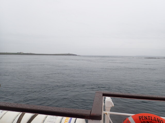
Lay Skerry is a small uninhabited island located in the Orkney archipelago, off the northeastern coast of Scotland. Situated approximately 13 kilometers north of its closest neighbor, Westray, this remote island covers an area of around 0.16 hectares.

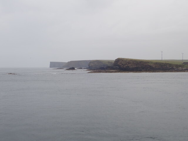
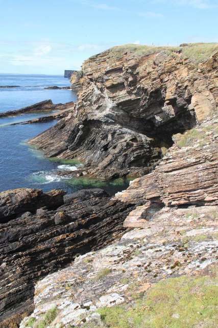
The island is composed predominantly of old red sandstone, which gives it a distinctive reddish hue. Lay Skerry is known for its rugged and rocky coastline, with steep cliffs rising from the North Atlantic Ocean. These cliffs provide nesting sites for a variety of seabirds, including guillemots, razorbills, and puffins, making it a popular destination for birdwatching enthusiasts.

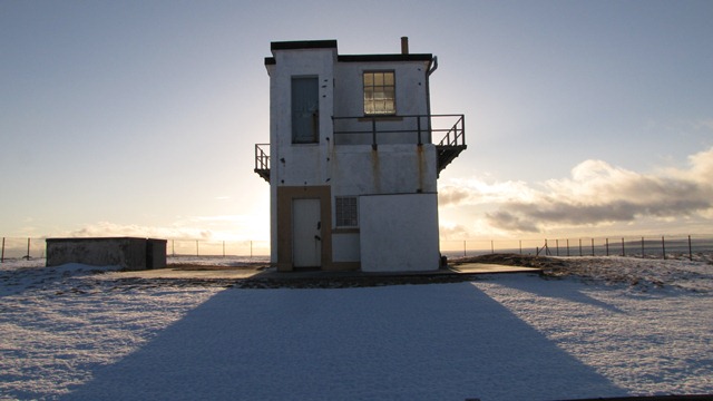
While the island itself is devoid of any permanent human settlement, it has historical significance. Lay Skerry was once home to a lighthouse, which was built in 1904 and operated until its automation in 1962. The lighthouse played a crucial role in guiding ships through the treacherous waters of the Pentland Firth, marking the entrance to Scapa Flow.

Today, Lay Skerry remains an important navigational aid, with a modern light tower standing on the island. Access to the island is restricted due to its status as a bird sanctuary, helping to preserve its natural habitat and ensure the undisturbed breeding of its avian inhabitants.

Overall, Lay Skerry offers a unique and awe-inspiring natural landscape, attracting visitors who appreciate its unspoiled beauty, rich birdlife, and historical significance.

If you have any feedback on the listing, please let us know in the comments section below.

Lay Skerry Images

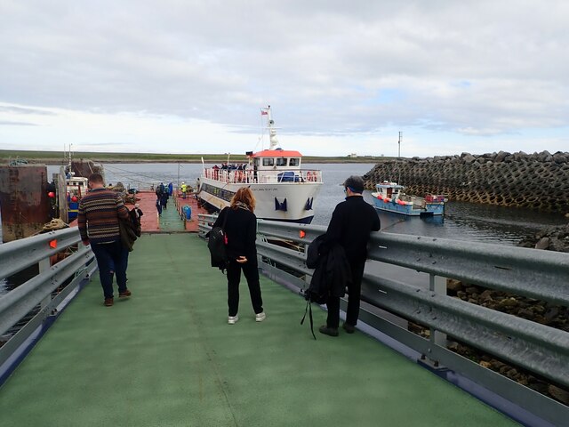
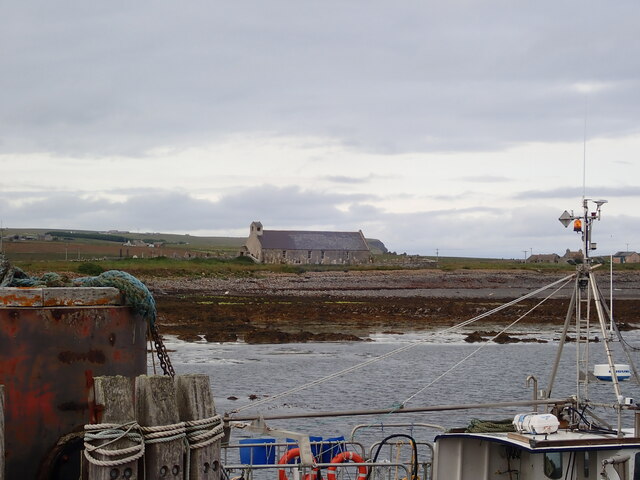
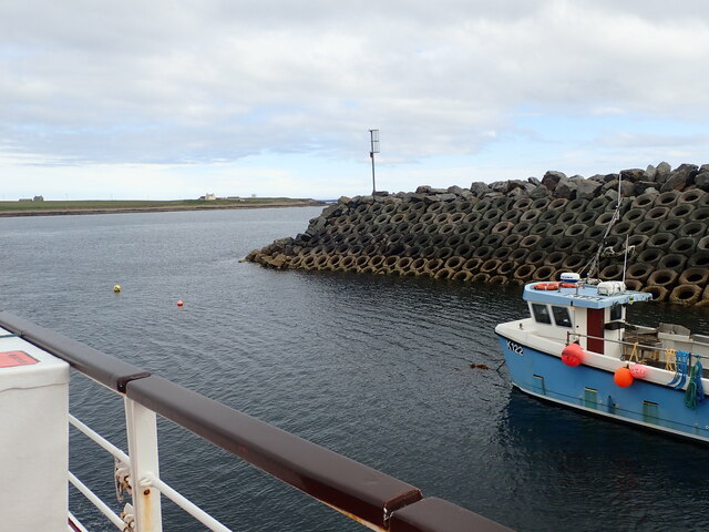
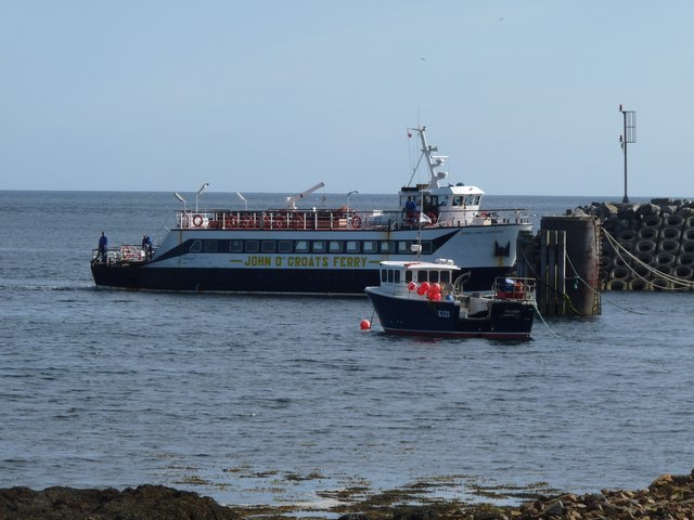
Images are sourced within 2km of 58.738398/-2.9746359 or Grid Reference ND4383. Thanks to Geograph Open Source API. All images are credited.

Eastward House, A961 near Barswick, South Ronaldsay Built in 1873 by local residents for the Church of Scotland, it is now (2014) a home offering B & B.
Eastward House, A961 near Barswick, South Ronaldsay
Built in 1873 by local residents for the Church of Scotland, it is now (2014) a home offering B & B.
Skerry light south of Bur Wick, South Ronaldsay Viewed from the Orkney ferry
Skerry light south of Bur Wick, South Ronaldsay
Viewed from the Orkney ferry
Skerry light off Burwick, Orkney Passing by on the Pentland Venture ferry on its way to Bur Wick
Skerry light off Burwick, Orkney
Passing by on the Pentland Venture ferry on its way to Bur Wick
Brough Ness Southern tip of South Ronaldsay overlooking the Pentland Firth.
Brough Ness
Southern tip of South Ronaldsay overlooking the Pentland Firth.
View west from the Pentland Venture ferry Just before entering the port at Burwick
View west from the Pentland Venture ferry
Just before entering the port at Burwick
St Mary's Church, Burwick Old St Mary’s is in the very south of the south parish at Burwick. It is on the site where the first Christian missionaries reputedly arrived in Orkney. The church is thought to have last been used for regular worship around 1959, then used for occasional services until around 1995. It is on the Churches at Risk register, especially since it was struck by lightning in 2013.
St Mary's Church, Burwick
Old St Mary’s is in the very south of the south parish at Burwick. It is on the site where the first Christian missionaries reputedly arrived in Orkney. The church is thought to have last been used for regular worship around 1959, then used for occasional services until around 1995. It is on the Churches at Risk register, especially since it was struck by lightning in 2013.
Pentland Venture ferry at Burwick
Tomison's Academy Founded under the will of William Tomison (1739-1829) of the Hudson's Bay Company. 
This former school is now empty and the adjacent buildings falling into dereliction
Tomison's Academy
Founded under the will of William Tomison (1739-1829) of the Hudson's Bay Company. This former school is now empty and the adjacent buildings falling into dereliction
Waiting for the ferry at Burwick Pier
St Mary's Church, Burwick A better view of the church than when we arrived earlier in the day <a href="https://www.geograph.org.uk/photo/7443070">ND4384 : St Mary's Church, Burwick</a>. Old St Mary’s is in the very south of the south parish at Burwick. It is on the site where the first Christian missionaries reputedly arrived in Orkney. The church is thought to have last been used for regular worship around 1959, then used for occasional services until around 1995. It is on the Churches at Risk register, especially since it was struck by lightning in 2013.
St Mary's Church, Burwick
A better view of the church than when we arrived earlier in the day ND4384 : St Mary's Church, Burwick. Old St Mary’s is in the very south of the south parish at Burwick. It is on the site where the first Christian missionaries reputedly arrived in Orkney. The church is thought to have last been used for regular worship around 1959, then used for occasional services until around 1995. It is on the Churches at Risk register, especially since it was struck by lightning in 2013.
Breakwater at Burwick Ferry Port
Skerry light off Burwick, Orkney
John o' Groats ferry arrives at Burwick Summer sailings across the Pentland Firth
John o' Groats ferry arrives at Burwick
Summer sailings across the Pentland Firth
Coastguard lookout Brough Ness
Approaching the harbour at Burwick, Orkney Islands Taken from the John O'Groats ferry.
Approaching the harbour at Burwick, Orkney Islands
Taken from the John O'Groats ferry.
Cold day
Cold day
Bur Wick Pier The end of the pier at Bur Wick
Bur Wick Pier
The end of the pier at Bur Wick
A feather? A beautiful fold in the rocks of The Wing.
A feather?
A beautiful fold in the rocks of The Wing.
Show me another place!

Lay Skerry is located at Grid Ref: ND4383 (Lat: 58.738398, Lng: -2.9746359)

Unitary Authority: Orkney Islands

Police Authority: Highlands and Islands

What 3 Words

///slab.trumped.resonated. Near St Margaret's Hope, Orkney Islands

Related Wikis

Burwick, Orkney

Burwick () is a small harbour on the island of South Ronaldsay in the Orkney Islands, Scotland. It is the closest Orkney harbour to the Scottish mainland...

Liddle Burnt Mound

Liddle Burnt Mound is a Bronze Age site on the island of South Ronaldsay, Orkney. The site consists of the remains of a building and a mound that surrounds...

Tomb of the Eagles

The Tomb of the Eagles, or Isbister Chambered Cairn, is a Neolithic chambered tomb located on a cliff edge at Isbister on South Ronaldsay in Orkney, Scotland...

HMS Opal (1915)

HMS Opal was an Admiralty M-class destroyer of the Royal Navy. She served in the First World War following her construction at Sunderland in 1915. Attached...

Nearby Amenities

Located within 500m of 58.738398,-2.9746359
Ferry Terminal
Lat/Long: 58.7397559/-2.9724355
Seamark Light Category: vertical
Seamark Light Character: F
Seamark Light Colour: red
Seamark Light Height: 8
Seamark Light Multiple: 2
Seamark Light Range: 5
Seamark Light Reference: A 3565
Seamark Type: light_minor
Source: US NGA Pub. 114. 2011-05-26.
Lat/Long: 58.7390815/-2.9718486
Leisure: picnic_table
Lat/Long: 58.7400124/-2.9742423
Toilets
Fee: no
Male: yes
Lat/Long: 58.7396833/-2.9731587
Toilets
Fee: no
Female: yes
Lat/Long: 58.7397571/-2.9731023
Burwick
Name En: Burwick
Name Non: Barvík
Place: isolated_dwelling
Wikidata: Q16985724
Wikipedia: en:Burwick, Orkney
Lat/Long: 58.7420332/-2.9703526
Generator Method: wind_turbine
Generator Source: wind
Generator Type: horizontal_axis
Power: generator
Lat/Long: 58.7403619/-2.9745001
Generator Method: wind_turbine
Generator Source: wind
Generator Type: horizontal_axis
Power: generator
Lat/Long: 58.7398942/-2.9750526
Power: pole
Lat/Long: 58.7417482/-2.9724509
Power: pole
Lat/Long: 58.7422436/-2.9719627
Burwick Pier
Place: locality
Lat/Long: 58.7398378/-2.972706
The data included in this document is from www.openstreetmap.org. The data is made available under ODbL.

Have you been to Lay Skerry?

Leave your review of Lay Skerry below (or comments, questions and feedback).