Island of Dundurcas
Island in Morayshire
Scotland
Island of Dundurcas
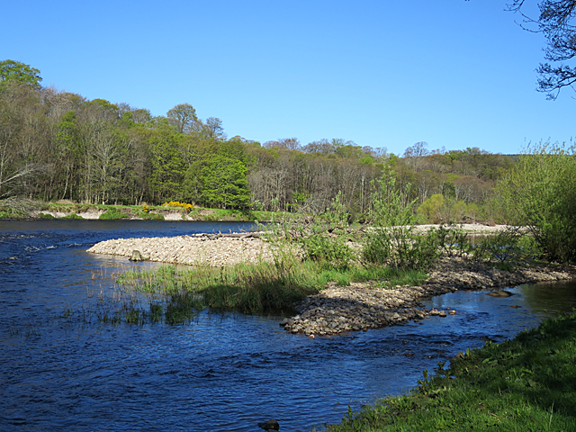
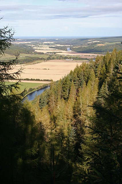
The Island of Dundurcas is a small island located off the coast of Morayshire, in the northeast of Scotland. It is situated in the Moray Firth, approximately 3 kilometers from the mainland. With an area of around 1.5 hectares, it is one of the smallest islands in the region.
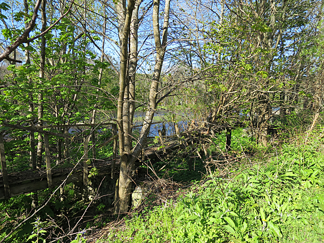
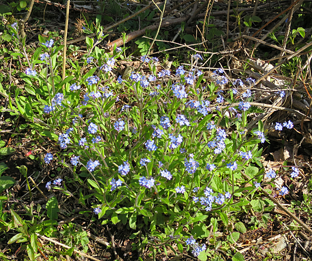
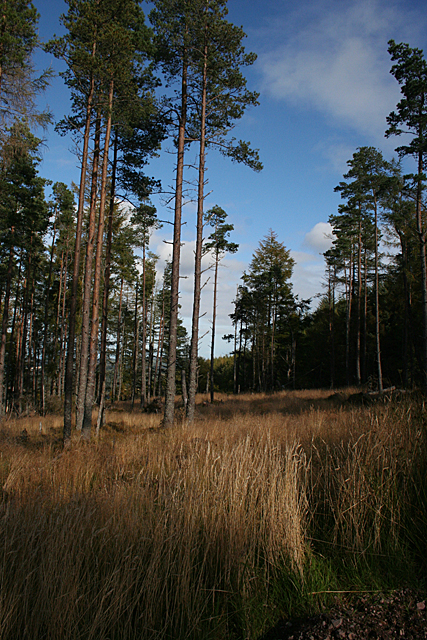
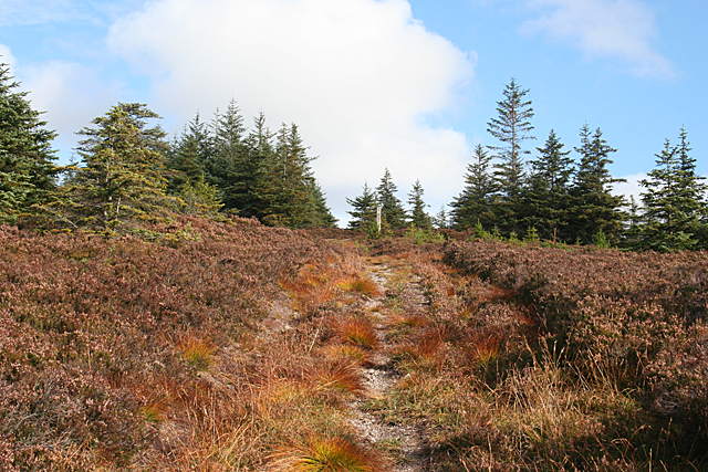
The island is characterized by its rugged and rocky terrain, with steep cliffs rising from the sea. It is mostly uninhabited, with no permanent residents, although it is a popular destination for birdwatchers and nature enthusiasts. Its remote location and lack of development make it a peaceful sanctuary for various bird species, including puffins, guillemots, and razorbills.
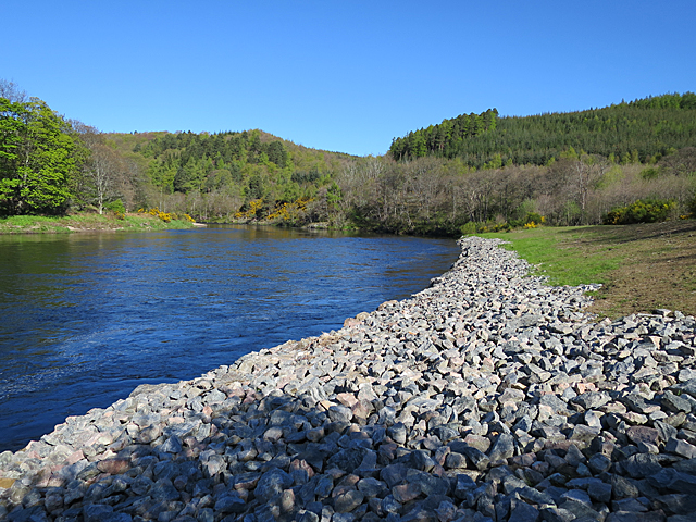
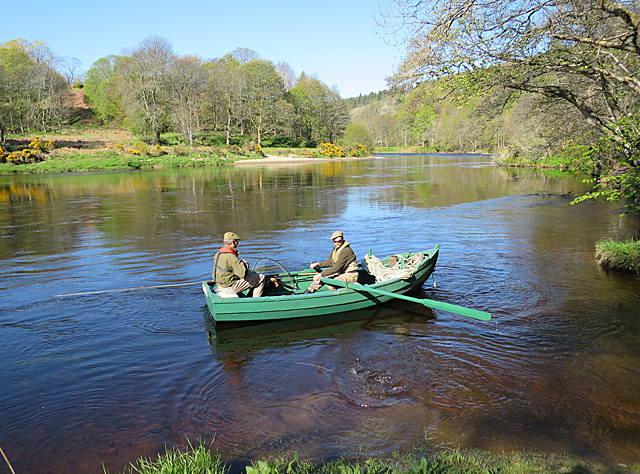
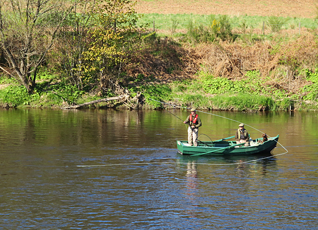
Access to the island is limited and can only be reached by boat during low tide, as the island is cut off from the mainland at high tide. Visitors often explore the island's coastline, enjoying the breathtaking views of the surrounding sea and the nearby coastal cliffs. The area is also known for its rich marine life, with seals and dolphins frequently spotted in the waters around the island.
Despite its small size, the Island of Dundurcas holds historical significance. The ruins of a medieval chapel dedicated to St. Mary are still visible, serving as a reminder of its past as a religious site. The island's isolation and peaceful atmosphere make it an ideal spot for those seeking tranquility and a connection with nature.
If you have any feedback on the listing, please let us know in the comments section below.
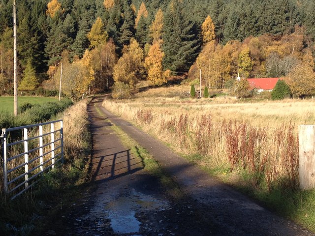
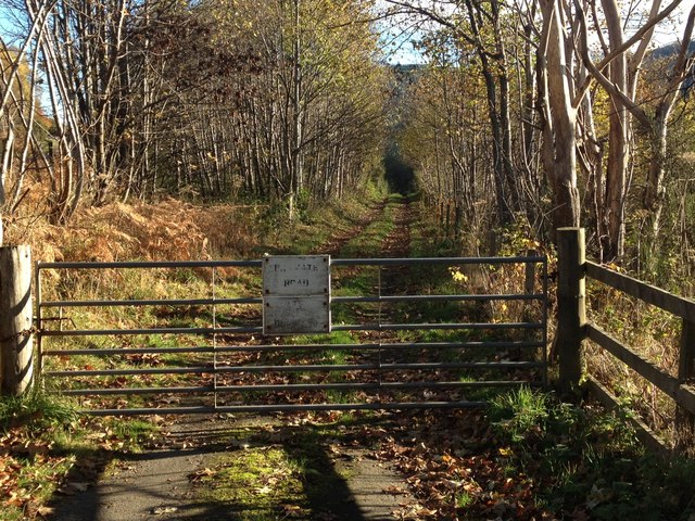
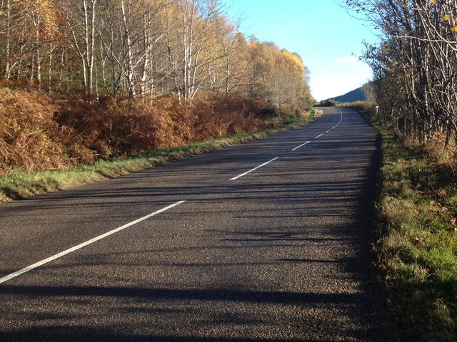
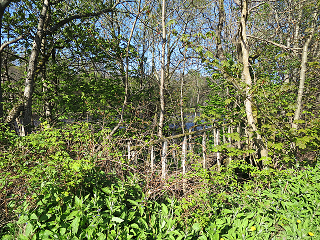
Island of Dundurcas Images
Images are sourced within 2km of 57.539209/-3.1796254 or Grid Reference NJ2950. Thanks to Geograph Open Source API. All images are credited.


Island of Dundurcas is located at Grid Ref: NJ2950 (Lat: 57.539209, Lng: -3.1796254)
Unitary Authority: Moray
Police Authority: North East
What 3 Words
///rally.flask.venue. Near Rothes, Moray
Nearby Locations
Related Wikis

Sourden railway station
Sourden railway station or Sourdon railway station later Sourden Siding served the rural area near Aikenway Castle and the Wood of Sourden, Moray, Scotland...
Rothes F.C.
Rothes Football Club is a senior football club who play in the Highland Football League. They were originally founded in 1907 as a Junior club, Rothes...
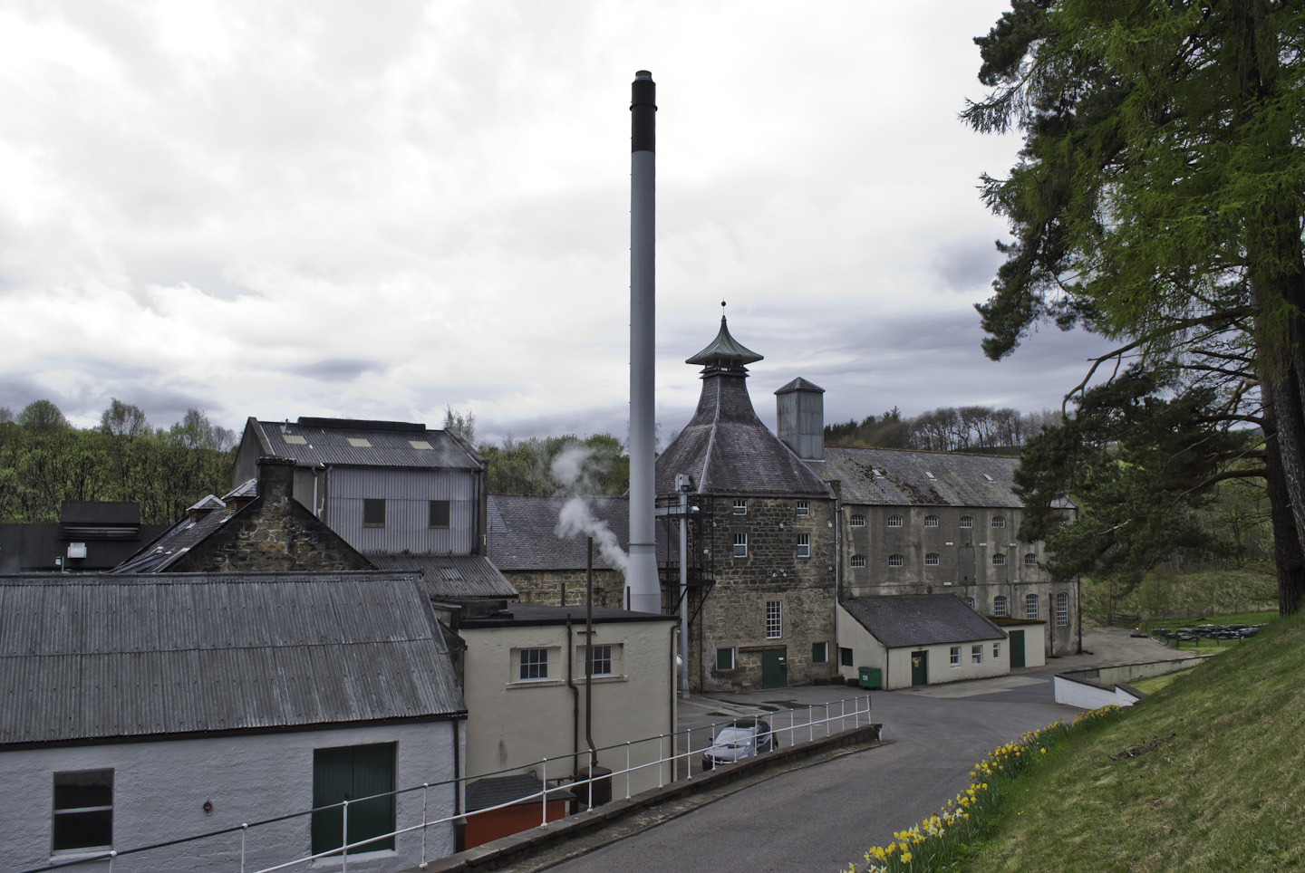
Caperdonich distillery
Caperdonich distillery was a producer of Speyside single malt Scotch whisky that operated between 1898 and 1902, and then again between 1965 and 2002....

Rothes railway station
Rothes railway station served the town of Rothes, Moray, Scotland from 1858 to 1968 on the Morayshire Railway. == History == The station opened on 23 August...

Glen Grant distillery
Glen Grant distillery was founded in 1840 in Rothes, Speyside, and produces single malt Scotch whisky. Previously owned by Chivas Brothers Ltd, best known...

Grant Hall, Rothes
Grant Hall, formerly Rothes Town Hall, is a municipal building in New Street, Rothes, Moray, Scotland. The structure is currently used as a community events...
Speyburn distillery
Speyburn distillery Speyside Scottish whisky distillery, in Rothes, Moray, Scotland. == History == Speyburn distillery was founded in 1897 by John Hopkins...

Rothes
Rothes (; Scottish Gaelic: Ràthais) is a town in Moray, Scotland, on the banks of the River Spey, 10 miles (16 km) south of Elgin. The town had a population...
Nearby Amenities
Located within 500m of 57.539209,-3.1796254Have you been to Island of Dundurcas?
Leave your review of Island of Dundurcas below (or comments, questions and feedback).