Peel Island

Island in Lancashire South Lakeland

England

Peel Island

The Cumbria Way near Stable Harvey Moss The Cumbria Way long distance footpath passes through an area of bracken on the lower slopes of Beacon Fell, turning left to follow the main path (next photograph <a href="https://www.geograph.org.uk/photo/6925753">SD2791 : The Cumbria Way near Stable Harvey Moss</a>).
The Cumbria Way near Stable Harvey Moss Credit: Adrian Taylor

Peel Island, also known as Holme Island or Pile of Fouldrey, is a small uninhabited island located off the coast of Lancashire, England. It lies approximately 2.5 miles west of the town of Fleetwood and can be reached by boat or during low tides when a causeway is exposed.

The island is roughly oval in shape and covers an area of around 5 acres. It is composed of sand and shingle, with some patches of grass and low vegetation. The highest point of the island stands at just 7 meters above sea level.

Historically, Peel Island served as a defensive outpost due to its strategic location. It is believed that a wooden tower was built on the island during the 16th century to protect the coastline from potential invaders. However, no traces of this tower remain today.

Peel Island is also known for its connection to the famous writer William Shakespeare. It is believed that he used the island as the setting for his play "The Tempest," specifically as the location of Prospero's cell. However, this theory is purely speculative and lacks concrete evidence.

Today, the island is primarily visited by birdwatchers and nature enthusiasts. It is an important site for migratory and nesting birds, including terns, gulls, and waders. The surrounding waters are also rich in marine life, attracting fishermen and divers.

Overall, Peel Island is a small but historically and ecologically significant island off the coast of Lancashire, offering natural beauty and a glimpse into the region's past.

If you have any feedback on the listing, please let us know in the comments section below.
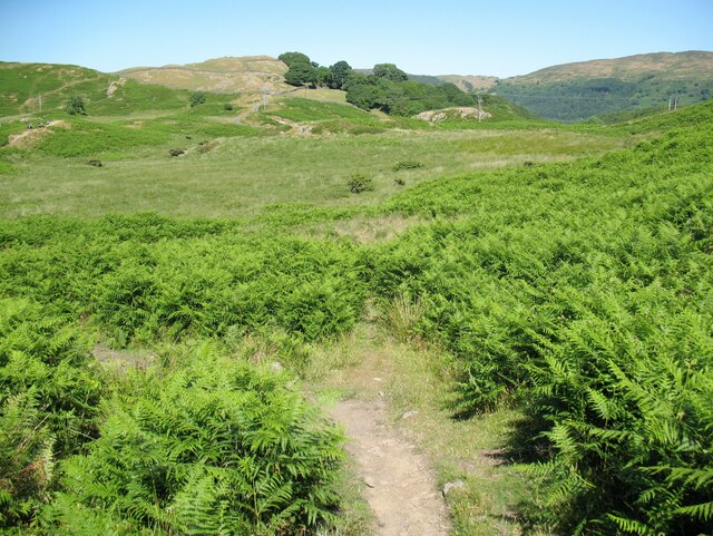
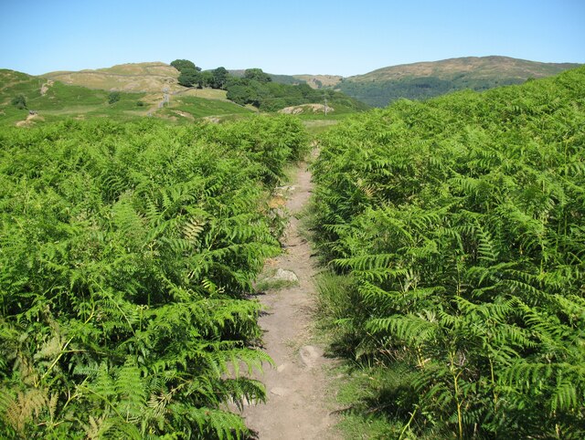
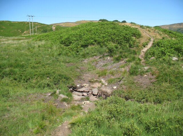
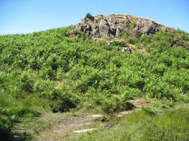
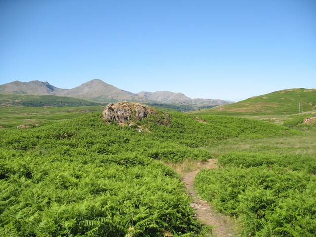
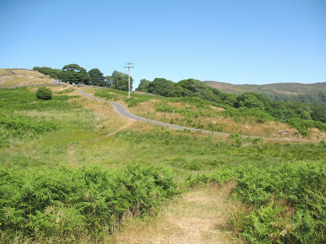
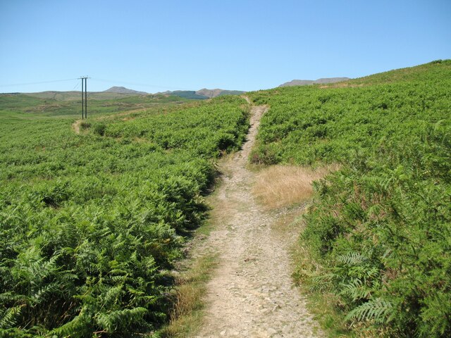
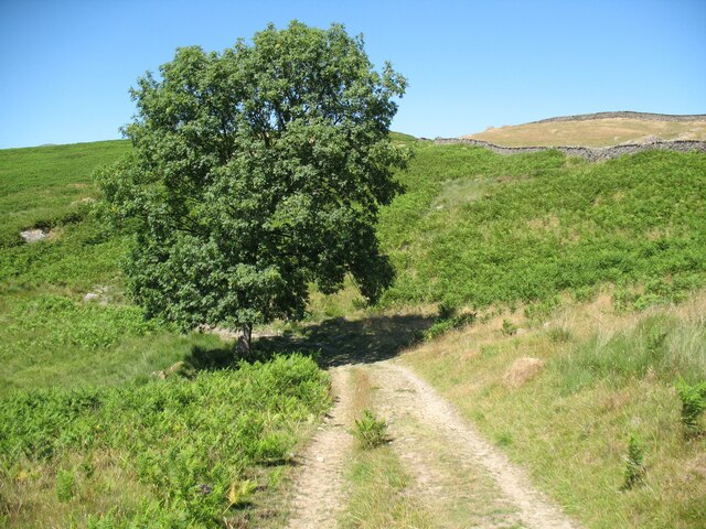
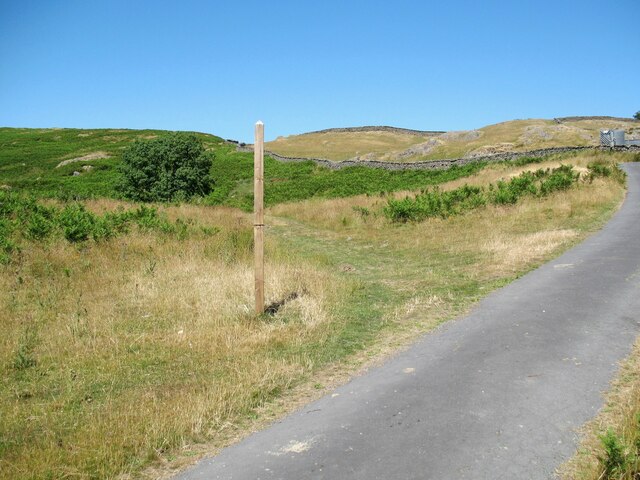
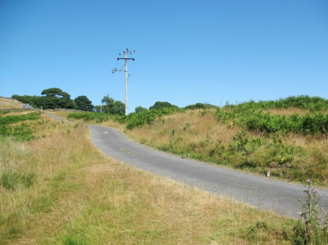
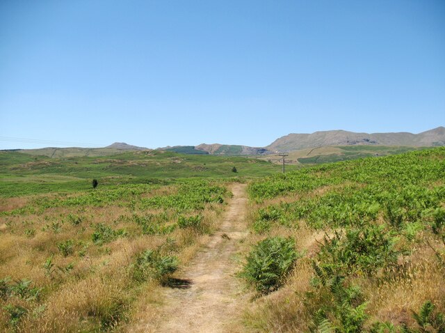
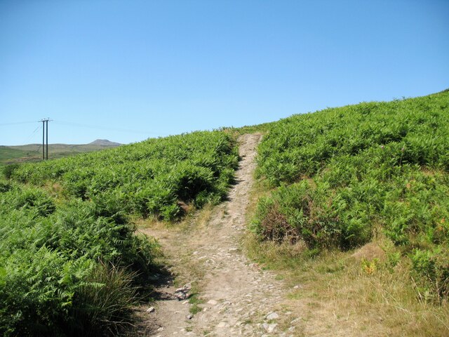
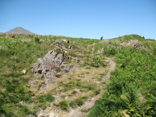
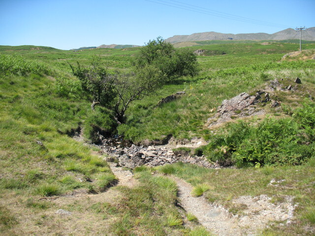
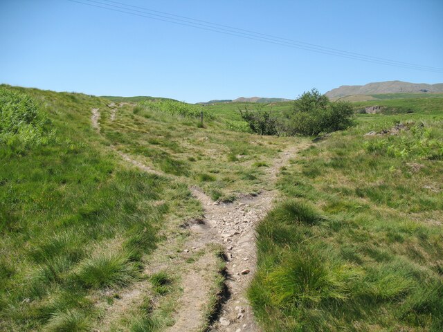
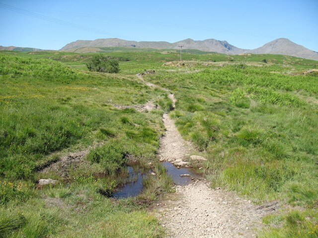
Peel Island Images

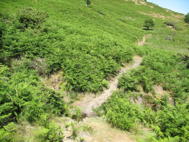
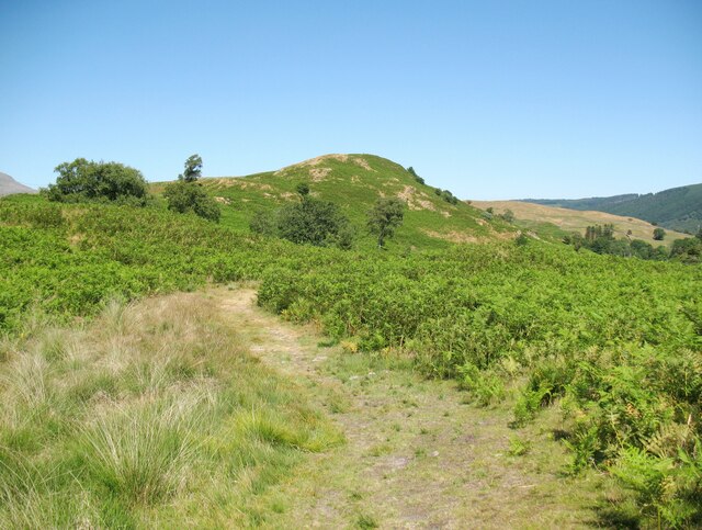
Images are sourced within 2km of 54.317789/-3.0850701 or Grid Reference SD2991. Thanks to Geograph Open Source API. All images are credited.

The Cumbria Way near Stable Harvey Moss The Cumbria Way long distance footpath passes through an area of bracken on the lower slopes of Beacon Fell, turning left to follow the main path (next photograph <a href="https://www.geograph.org.uk/photo/6925753">SD2791 : The Cumbria Way near Stable Harvey Moss</a>).
The Cumbria Way near Stable Harvey Moss
The Cumbria Way long distance footpath passes through an area of bracken on the lower slopes of Beacon Fell, turning left to follow the main path (next photograph SD2791 : The Cumbria Way near Stable Harvey Moss).
The Cumbria Way near Stable Harvey Moss The Cumbria Way long distance footpath passes through an area of bracken on the lower slopes of Beacon Fell (next photograph <a href="https://www.geograph.org.uk/photo/6920535">SD2791 : The Cumbria Way near Stable Harvey Moss</a>).
The Cumbria Way near Stable Harvey Moss
The Cumbria Way long distance footpath passes through an area of bracken on the lower slopes of Beacon Fell (next photograph SD2791 : The Cumbria Way near Stable Harvey Moss).
Black Beck near Stable Harvey Moss Black Beck drains the bog of Stable Harvey Moss and the southern part of Torver Low Common and flows into Coniston Water.
The Cumbria Way long distance footpath crosses the beck by a small ford (next photograph <a href="https://www.geograph.org.uk/photo/6927171">SD2891 : The Cumbria Way near Stable Harvey</a>).
Black Beck near Stable Harvey Moss
Black Beck drains the bog of Stable Harvey Moss and the southern part of Torver Low Common and flows into Coniston Water. The Cumbria Way long distance footpath crosses the beck by a small ford (next photograph SD2891 : The Cumbria Way near Stable Harvey).
The Cumbria Way near Stable Harvey Moss The Cumbria Way, a 74 mile long distance path from Ulverston to Carlisle crosses a small boggy stream below a rocky outcrop near Stable Harvey Moss (next photograph <a href="https://www.geograph.org.uk/photo/6925738">SD2791 : Black Beck near Stable Harvey Moss</a>).
The Cumbria Way near Stable Harvey Moss
The Cumbria Way, a 74 mile long distance path from Ulverston to Carlisle crosses a small boggy stream below a rocky outcrop near Stable Harvey Moss (next photograph SD2791 : Black Beck near Stable Harvey Moss).
The Cumbria Way near Stable Harvey Moss The Cumbria Way descends the lower slopes of Beacon Fell near Stable Harvey Moss towards a rocky outcrop (next photograph <a href="https://www.geograph.org.uk/photo/6925747">SD2791 : The Cumbria Way near Stable Harvey Moss</a>).
Dow Crag, Coniston Old Man and Wetherlam are in the background.
The Cumbria Way near Stable Harvey Moss
The Cumbria Way descends the lower slopes of Beacon Fell near Stable Harvey Moss towards a rocky outcrop (next photograph SD2791 : The Cumbria Way near Stable Harvey Moss). Dow Crag, Coniston Old Man and Wetherlam are in the background.
The Cumbria Way near Stable Harvey The Cumbria Way crosses low lying undulating ground near Stable Harvey Moss as it approaches the road near Stable Harvey (next photograph <a href="https://www.geograph.org.uk/photo/6929558">SD2891 : The road to Stable Harvey</a>).
The Cumbria Way near Stable Harvey
The Cumbria Way crosses low lying undulating ground near Stable Harvey Moss as it approaches the road near Stable Harvey (next photograph SD2891 : The road to Stable Harvey).
Public bridleway near Stable Harvey Moss The bridleway runs from Stable Harvey to Mill Bridge near Torver and bears left at the path junction ahead.  It is the route of The Cumbria Way long distance footpath (next photograph <a href="https://www.geograph.org.uk/photo/6930295">SD2891 : The Cumbria Way near Stable Harvey Moss</a>).
Public bridleway near Stable Harvey Moss
The bridleway runs from Stable Harvey to Mill Bridge near Torver and bears left at the path junction ahead. It is the route of The Cumbria Way long distance footpath (next photograph SD2891 : The Cumbria Way near Stable Harvey Moss).
Ash tree near Stable Harvey Moss The path in the foreground joins a bridleway from Stable Harvey to Mill Bridge beside the tree.  Northbound walkers following The Cumbria Way long distance path continue north-west along the bridleway (next photograph <a href="https://www.geograph.org.uk/photo/6927965">SD2891 : Public bridleway near Stable Harvey Moss</a>).
The grass is dry due to a prolonged spell of fine weather.
Ash tree near Stable Harvey Moss
The path in the foreground joins a bridleway from Stable Harvey to Mill Bridge beside the tree. Northbound walkers following The Cumbria Way long distance path continue north-west along the bridleway (next photograph SD2891 : Public bridleway near Stable Harvey Moss). The grass is dry due to a prolonged spell of fine weather.
Torver Low Common near Stable Harvey The path leaves the minor road from Brown Howe to Stable Harvey.  It is signposted for The Cumbria Way long distance path which has followed the minor road northwards for approximately 60m (65 yards) and walkers following The Cumbria Way normally take this route (next photograph <a href="https://www.geograph.org.uk/photo/6927980">SD2891 : Ash tree near Stable Harvey Moss</a>).
The signpost is mis-located as the public right of way (and the official route of The Cumbria Way) leaves the road some 55m (60 yards) further to the north east towards Stable Harvey Farm.  The land here is Access Land so no trespass is incurred.
The grass is parched due to a prolonged period of dry weather.
Torver Low Common near Stable Harvey
The path leaves the minor road from Brown Howe to Stable Harvey. It is signposted for The Cumbria Way long distance path which has followed the minor road northwards for approximately 60m (65 yards) and walkers following The Cumbria Way normally take this route (next photograph SD2891 : Ash tree near Stable Harvey Moss). The signpost is mis-located as the public right of way (and the official route of The Cumbria Way) leaves the road some 55m (60 yards) further to the north east towards Stable Harvey Farm. The land here is Access Land so no trespass is incurred. The grass is parched due to a prolonged period of dry weather.
The road to Stable Harvey Stable Harvey is a farm and is the only property served by a minor road from the A5084 near Brown Howe.
The Cumbria Way long distance path joins the road on Torver Low Common near Black Beck (next photograph <a href="https://www.geograph.org.uk/photo/6928292">SD2891 : Torver Low Common near Stable Harvey</a>).
The grass is parched after a prolonged period of dry weather.
The road to Stable Harvey
Stable Harvey is a farm and is the only property served by a minor road from the A5084 near Brown Howe. The Cumbria Way long distance path joins the road on Torver Low Common near Black Beck (next photograph SD2891 : Torver Low Common near Stable Harvey). The grass is parched after a prolonged period of dry weather.
Path on Tottle Bank Crossing the open ground of Torver Low Common below Tottle Bank, this path is an alternative route for The Cumbria Way, a 74 mile long distance trail between Ulverston and Carlisle (next photograph <a href="https://www.geograph.org.uk/photo/6938645">SD2892 : Bridleway, Tottle Bank</a>).
The grass is dry after a long period of dry weather.
Path on Tottle Bank
Crossing the open ground of Torver Low Common below Tottle Bank, this path is an alternative route for The Cumbria Way, a 74 mile long distance trail between Ulverston and Carlisle (next photograph SD2892 : Bridleway, Tottle Bank). The grass is dry after a long period of dry weather.
The Cumbria Way near Stable Harvey Moss The Cumbria Way long distance path follows a public bridleway from near Stable Harvey to Mere Beck on Torver Low Common.  The bridleway makes a turn to the left near Stable Harvey Moss and a path continues straight ahead which is an alternative route for walkers following The Cumbria Way (next photograph <a href="https://www.geograph.org.uk/photo/6930288">SD2891 : Path on Tottle Bank</a>).
The Cumbria Way near Stable Harvey Moss
The Cumbria Way long distance path follows a public bridleway from near Stable Harvey to Mere Beck on Torver Low Common. The bridleway makes a turn to the left near Stable Harvey Moss and a path continues straight ahead which is an alternative route for walkers following The Cumbria Way (next photograph SD2891 : Path on Tottle Bank).
The Cumbria Way near Mere Beck The Cumbria Way long distance path climbs away from the ford across Mere Beck over some rocky ground (next photograph <a href="https://www.geograph.org.uk/photo/6938191">SD2892 : The Cumbria Way, Torver Low Common</a>).
The Cumbria Way near Mere Beck
The Cumbria Way long distance path climbs away from the ford across Mere Beck over some rocky ground (next photograph SD2892 : The Cumbria Way, Torver Low Common).
Ford across Mere Beck A public footpath crosses Mere Beck by a stony ford between Tottle Bank and Anne Riggs on Torver Low Common.  It is the route of The Cumbria Way, a long distance trail from Ulverston to Carlisle (next photograph <a href="https://www.geograph.org.uk/photo/6931224">SD2892 : The Cumbria Way near Mere Beck</a>).
Ford across Mere Beck
A public footpath crosses Mere Beck by a stony ford between Tottle Bank and Anne Riggs on Torver Low Common. It is the route of The Cumbria Way, a long distance trail from Ulverston to Carlisle (next photograph SD2892 : The Cumbria Way near Mere Beck).
The Cumbria Way near Mere Beck The Cumbria Way follows a well-defined path across Torver Low Common, diverging right approaching Mere Beck (next photograph <a href="https://www.geograph.org.uk/photo/6931244">SD2892 : Ford across Mere Beck</a>).
The Cumbria Way near Mere Beck
The Cumbria Way follows a well-defined path across Torver Low Common, diverging right approaching Mere Beck (next photograph SD2892 : Ford across Mere Beck).
Ford on Torver Low Common This small ford crosses a tributary of Mere Beck on Torver Low Common.
Although not on the public bridleway, this path is a shortcut that has become an alternative route normally taken by walkers following The Cumbria Way long distance path (next photograph <a href="https://www.geograph.org.uk/photo/6931254">SD2892 : The Cumbria Way near Mere Beck</a>).  The bridleway and the official route of The Cumbria Way cross the same beck by the original ford 20m (21 yards) to the north east.
Ford on Torver Low Common
This small ford crosses a tributary of Mere Beck on Torver Low Common. Although not on the public bridleway, this path is a shortcut that has become an alternative route normally taken by walkers following The Cumbria Way long distance path (next photograph SD2892 : The Cumbria Way near Mere Beck). The bridleway and the official route of The Cumbria Way cross the same beck by the original ford 20m (21 yards) to the north east.
Ford on Throng Moss Beck The path from Mere Beck on Torver Low Common to Delicars crosses Throng Moss Beck by a small ford below the slopes of Anne Riggs.
This is the route of The Cumbria Way, a 74 mile long distance path between Ulverston and Carlisle (next photograph <a href="https://www.geograph.org.uk/photo/6939323">SD2892 : The Cumbria Way near Anne Riggs</a>).
There is little water in the ford after a prolonged period of dry weather.
Ford on Throng Moss Beck
The path from Mere Beck on Torver Low Common to Delicars crosses Throng Moss Beck by a small ford below the slopes of Anne Riggs. This is the route of The Cumbria Way, a 74 mile long distance path between Ulverston and Carlisle (next photograph SD2892 : The Cumbria Way near Anne Riggs). There is little water in the ford after a prolonged period of dry weather.
The Cumbria Way, Torver Low Common The Cumbria Way follows a well-defined path on Torver Low Common (next photograph <a href="https://www.geograph.org.uk/photo/6938183">SD2892 : Ford on Throng Moss Beck</a>).
The small fell in the background is Anne Riggs.
The Cumbria Way, Torver Low Common
The Cumbria Way follows a well-defined path on Torver Low Common (next photograph SD2892 : Ford on Throng Moss Beck). The small fell in the background is Anne Riggs.
Show me another place!

Peel Island is located at Grid Ref: SD2991 (Lat: 54.317789, Lng: -3.0850701)

Administrative County: Cumbria

District: South Lakeland

Police Authority: Cumbria

What 3 Words

///irritated.weep.moss. Near Windermere, Cumbria

Related Wikis

Peel Island, Cumbria

Peel Island (formerly known as Montague Island or the Gridiron) is one of the three islands of Coniston Water in the English Lake District, Cumbria. The...

Top o'Selside

Top o'Selside is a hill in the Lake District in Cumbria, England. At 335 metres (1,099 ft), it is the highest point of the group of hills situated between...

Kelly Hall Tarn

Kelly Hall Tarn is a pool in Cumbria, England, to the west of Coniston Water. It is located about one km south-south-east of the village of Torver, on...

Nibthwaite

Nibthwaite is a village in the South Lakeland District in the county of Cumbria in the northwest of England. It is in the civil parish of Colton, and on...

Nearby Amenities

Located within 500m of 54.317789,-3.0850701
Source: NPR tracing
Lat/Long: 54.3212212/-3.0892271
Source: NPR tracing
Lat/Long: 54.3205671/-3.0900814
Source: NPR tracing
Lat/Long: 54.3191167/-3.0914405
Source: NPR tracing
Lat/Long: 54.3182797/-3.0912423
Source: NPR tracing
Lat/Long: 54.3178917/-3.0914569
Source: NPR tracing
Lat/Long: 54.3173535/-3.0917358
Source: NPR tracing
Lat/Long: 54.314894/-3.0909312
Source: NPR tracing
Lat/Long: 54.3156262/-3.0909741
Source: NPR tracing
Lat/Long: 54.3163522/-3.0914247
High Peel Near
Place: locality
Lat/Long: 54.3159484/-3.085104
Low Peel Near
Place: locality
Lat/Long: 54.3138835/-3.0841233
The data included in this document is from www.openstreetmap.org. The data is made available under ODbL.

Have you been to Peel Island?

Leave your review of Peel Island below (or comments, questions and feedback).